Winna Water
Lake, Pool, Pond, Freshwater Marsh in Shetland
Scotland
Winna Water
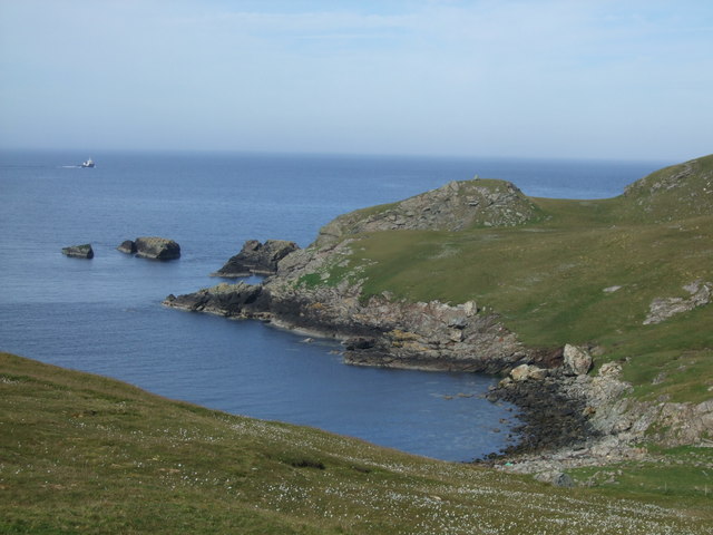
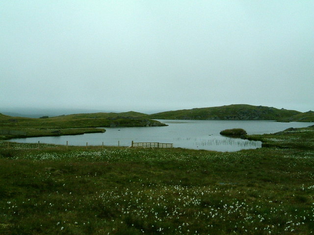
Winna Water is a small freshwater body located in the Shetland Islands, off the northeastern coast of Scotland. It is situated amidst picturesque rolling hills and is a popular destination for nature enthusiasts and birdwatchers.
Covering an area of approximately 20 acres, Winna Water is classified as a freshwater loch or lake. It is fed by numerous small streams and springs, ensuring a constant flow of fresh water. The water is crystal clear and supports a diverse ecosystem, making it an important habitat for various aquatic plants and animals.
Surrounded by lush vegetation, Winna Water is also home to a wide array of bird species. It serves as a breeding ground for resident waterfowl such as mallards and mute swans, as well as attracting migratory birds during the winter months. Birdwatchers can spot species like tufted ducks, whooper swans, and goldeneyes, among others.
The shoreline of Winna Water is characterized by marshy areas and reed beds, providing an ideal habitat for amphibians and invertebrates. Frogs, newts, and dragonflies can be seen in abundance, adding to the biodiversity of the area.
Visitors to Winna Water can enjoy its tranquil surroundings by walking along the well-maintained footpaths that encircle the lake. The area is also equipped with bird hides and observation points, allowing visitors to observe the wildlife without disturbing their natural habitats.
Overall, Winna Water is a serene and picturesque freshwater body, offering a unique glimpse into the diverse flora and fauna of the Shetland Islands.
If you have any feedback on the listing, please let us know in the comments section below.
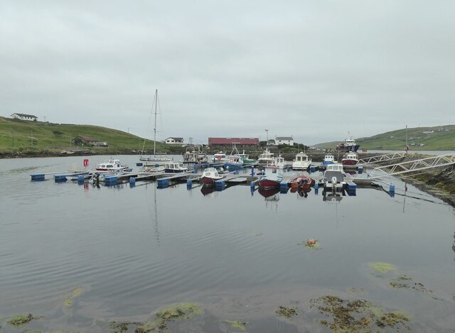
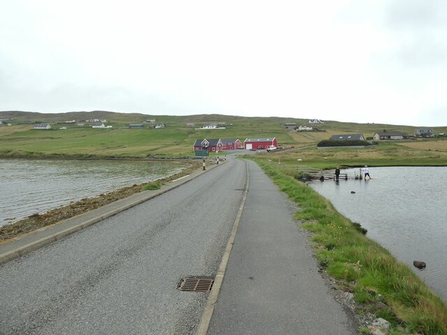
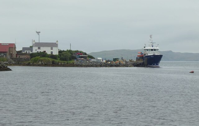
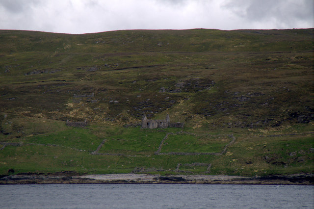
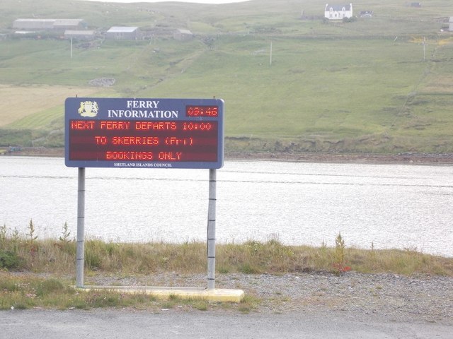
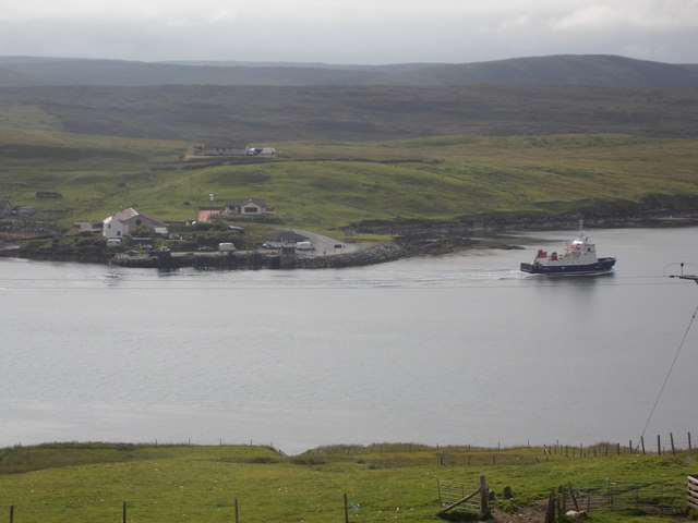
Winna Water Images
Images are sourced within 2km of 60.374098/-1.0966061 or Grid Reference HU4965. Thanks to Geograph Open Source API. All images are credited.


Winna Water is located at Grid Ref: HU4965 (Lat: 60.374098, Lng: -1.0966061)
Unitary Authority: Shetland Islands
Police Authority: Highlands and Islands
What 3 Words
///mush.mornings.eliminate. Near Vidlin, Shetland Islands
Nearby Locations
Related Wikis

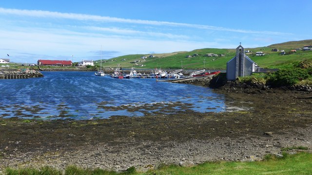
Vidlin
Vidlin (from Old Norse: Vaðill meaning a ford) is a small village located on Mainland, Shetland, Scotland. The settlement is within the parish of Nesting...

Little Linga
Little Linga is a small island in the Shetland Islands. It is near West Linga and Vidlin on Mainland, Shetland. It is 20 metres (66 ft) at its highest...

West Linga
West Linga is an uninhabited island located between Mainland and Whalsay in Shetland, Scotland. == Geography and geology == West Linga is a long narrow...

Lunna House
Lunna House is a 17th-century laird's house on Lunna Ness in the Shetland Islands. Lunna House is noted for having "the best historic designed landscape...
Nearby Amenities
Located within 500m of 60.374098,-1.0966061Have you been to Winna Water?
Leave your review of Winna Water below (or comments, questions and feedback).