Culham Reach

Lake, Pool, Pond, Freshwater Marsh in Oxfordshire South Oxfordshire

England

Culham Reach

Drayton Road Drayton Road B4017 heading to Abingdon
Drayton Road Credit: Shaun Ferguson

Culham Reach is a stunning natural area nestled in Oxfordshire, United Kingdom, offering an array of freshwater ecosystems. With its diverse range of habitats, including a lake, pool, pond, and freshwater marsh, it is a haven for nature lovers and a thriving ecosystem for various plant and animal species.

The centerpiece of Culham Reach is the picturesque lake, which spans a considerable area and serves as a focal point for recreational activities. The lake provides an ideal environment for a variety of water-based activities such as boating, fishing, and swimming. Its crystal-clear waters are home to numerous fish species, including perch, pike, and roach, attracting anglers from far and wide.

Adjacent to the lake is a tranquil pool, offering a more secluded and peaceful atmosphere. Surrounded by lush vegetation and bordered by reeds and rushes, the pool provides a serene habitat for a multitude of waterfowl, such as ducks, geese, and swans. Birdwatchers can delight in observing these feathered creatures in their natural habitat, especially during migratory seasons.

Nearby, a small pond adds to the charm of Culham Reach. This intimate body of water is teeming with aquatic plants, creating a perfect breeding ground for amphibians like frogs and newts. The pond's shallow waters attract dragonflies and damselflies, adding a touch of vibrancy to the landscape.

Finally, the freshwater marsh completes the diverse ecosystem found at Culham Reach. This wetland area boasts an array of sedges, grasses, and flowering plants, providing shelter and sustenance to a wide range of insects, birds, and mammals. It serves as an essential breeding ground for various species, contributing to the overall biodiversity of the region.

Overall, Culham Reach is a remarkable natural treasure, offering an abundance of freshwater habitats that support a rich variety of flora and fauna. Whether engaging in recreational activities or appreciating the beauty of nature, visitors are sure to be captivated by the charm

If you have any feedback on the listing, please let us know in the comments section below.
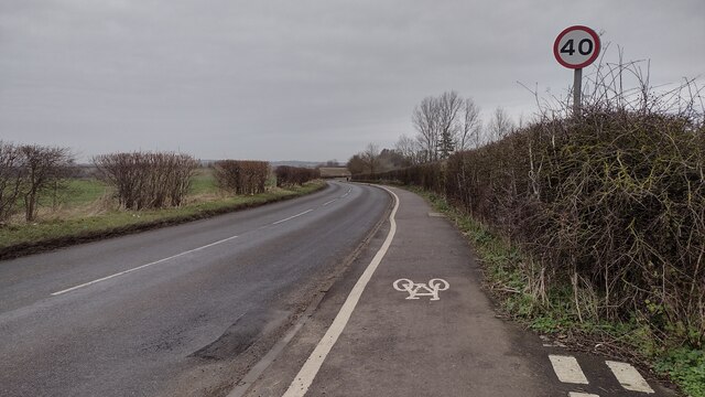
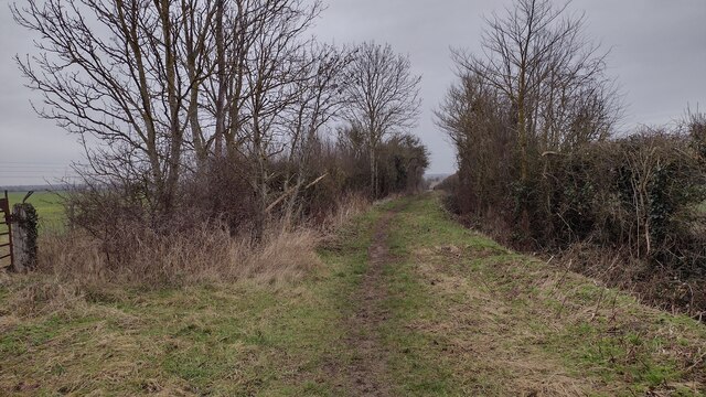
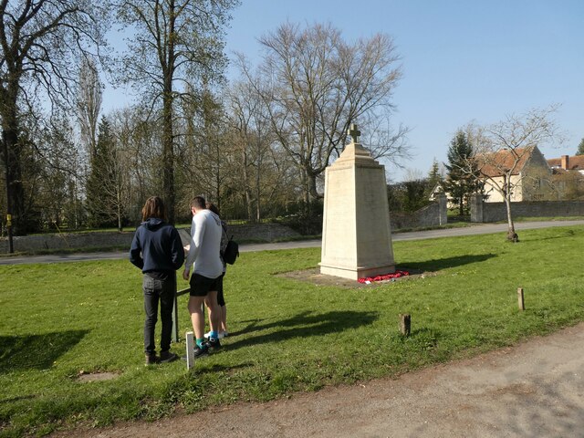
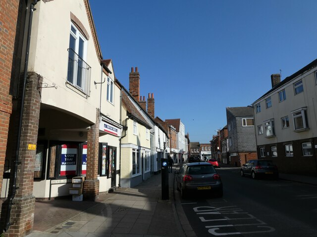
Culham Reach Images

Images are sourced within 2km of 51.653413/-1.280579 or Grid Reference SU4995. Thanks to Geograph Open Source API. All images are credited.

Drayton Road Drayton Road B4017 heading to Abingdon
Drayton Road
Drayton Road B4017 heading to Abingdon
Restricted Byway Restricted Byway heading to New Cut Mill
Restricted Byway
Restricted Byway heading to New Cut Mill
Drayton Road, Abingdon
Drayton Road at Sutton Courtenay village boundary
Church Street, The Green and All Saints Church
Sutton Courtenay War Memorial: late March 2022
Abingdon Market Place: late March 2022
WH Smith, Bury Street: late March 2022
Shoppers in Bury Street
March 2022: shops in the High Street
Looking westwards along the High Street
Approaching the junction of West St Helens Street and the High Street
Cyclist in West St Helens Street
Looking from West St Helens Street towards Hive Mews
Looking northwards in West St Helens Street
Looking from West St Helens Street into St Edmunds Lane
Apartments in St Edmunds Lane
Looking north-west in Sutton Wick Lane
Show me another place!

Culham Reach is located at Grid Ref: SU4995 (Lat: 51.653413, Lng: -1.280579)

Administrative County: Oxfordshire

District: South Oxfordshire

Police Authority: Thames Valley

What 3 Words

///canny.carry.link. Near Sutton Courtenay, Oxfordshire

Nearby Locations

Culham Reach

Related Wikis

Culham Manor

Culham Manor is a historic manor house in Culham, near Abingdon in southern Oxfordshire, England. In 2003, the house, set in 11 acres (4.5 ha) of grounds...

Culham Bridge

Culham Bridge is a medieval bridge crossing a present backwater of the River Thames in England at Culham, Oxfordshire, near the town of Abingdon. The bridge...

Culham Court, Oxfordshire

Culham Court is a Grade II listed house in Culham, Oxfordshire, England. == History == It was built in the mid-18th century, the south front in about 1816...

Abingdon Rowing Club

Abingdon Rowing Club is a rowing club on the River Thames based on Wilsham Road in Abingdon-on-Thames, Oxfordshire.The club's home water is the stretch...

Nearby Amenities

Located within 500m of 51.653413,-1.280579
Leisure: slipway
Lat/Long: 51.6569742/-1.2813653
Parking
Lat/Long: 51.6569506/-1.28098
Created By: Merkaartor 0.13
Lat/Long: 51.6571783/-1.277976
Created By: Merkaartor 0.13
Lat/Long: 51.6567277/-1.2782978
Created By: Merkaartor 0.13
Lat/Long: 51.6562986/-1.2785768
Created By: Merkaartor 0.13
Lat/Long: 51.6557407/-1.2789201
Created By: Merkaartor 0.13
Lat/Long: 51.6554617/-1.2788557
Created By: Merkaartor 0.13
Lat/Long: 51.6552901/-1.2787699
Created By: Merkaartor 0.13
Lat/Long: 51.6551184/-1.2788128
Created By: Merkaartor 0.13
Lat/Long: 51.6548609/-1.278963
Created By: Merkaartor 0.13
Lat/Long: 51.6546034/-1.2790703
Created By: Merkaartor 0.13
Lat/Long: 51.6538095/-1.279478
Created By: Merkaartor 0.13
Lat/Long: 51.6532731/-1.2797784
Created By: Merkaartor 0.13
Lat/Long: 51.6523718/-1.2804436
Created By: Merkaartor 0.13
Lat/Long: 51.6502475/-1.2818169
Created By: Merkaartor 0.13
Lat/Long: 51.6499471/-1.2814736
Created By: Merkaartor 0.13
Lat/Long: 51.6497969/-1.2811946
Created By: Merkaartor 0.13
Lat/Long: 51.6495823/-1.2799286
Created By: Merkaartor 0.13
Lat/Long: 51.6493248/-1.277976
Barrier: block
Lat/Long: 51.6538189/-1.2857075
Jubilee Junction
Junction: yes
Lat/Long: 51.6508848/-1.2823103
Barrier: kissing_gate
Lat/Long: 51.6511472/-1.2825944
Power: tower
Lat/Long: 51.6569964/-1.2797035
Power: tower
Lat/Long: 51.6547394/-1.2832085
Power: tower
Lat/Long: 51.6523058/-1.2871729
Wilts & Berks Canal
Lock: yes
Lock Name: Jubilee Lock
Planned: canal
Waterway: planned
Lat/Long: 51.651342/-1.284453
Direction: 150
Generator Method: photovoltaic
Generator Output Electricity: yes
Generator Solar Modules: 18
Generator Source: solar
Generator Type: solar_photovoltaic_panel
Location: roof
Power: generator
Lat/Long: 51.6520423/-1.275907
Fixme: solar panels?
Lat/Long: 51.6522033/-1.2758789
Parking
Source: survey
Lat/Long: 51.6566634/-1.2801419
Barrier: stile
Lat/Long: 51.6537706/-1.2809508
Post Box
Collection Times: Mo-Fr 09:00; Sa 07:00
Operator: Royal Mail
Operator Wikidata: Q638098
Ref: OX14 1044
Lat/Long: 51.6524596/-1.2744649
Destination: River
Guidepost: cycling
Information: guidepost
Tourism: information
Lat/Long: 51.6572329/-1.2843959
Destination: Drayton
Guidepost: cycling
Information: guidepost
Tourism: information
Lat/Long: 51.6571465/-1.2842275
Destination: Abingdon;Oxford;Didcot
Guidepost: cycling
Information: guidepost
Tourism: information
Lat/Long: 51.6571/-1.2843689
The data included in this document is from www.openstreetmap.org. The data is made available under ODbL.

Have you been to Culham Reach?

Leave your review of Culham Reach below (or comments, questions and feedback).