Lower Pool
Lake, Pool, Pond, Freshwater Marsh in Leicestershire Blaby
England
Lower Pool

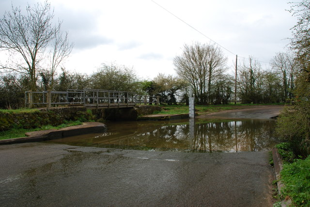
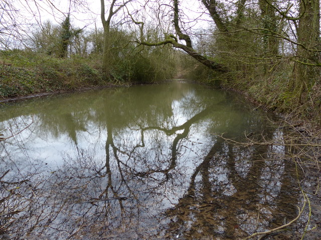
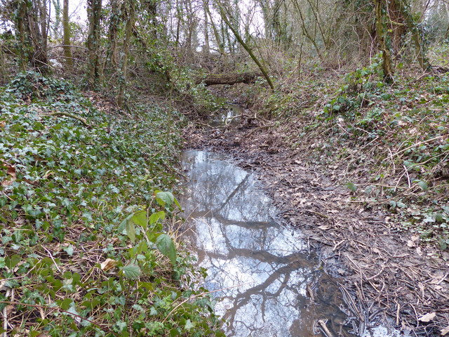
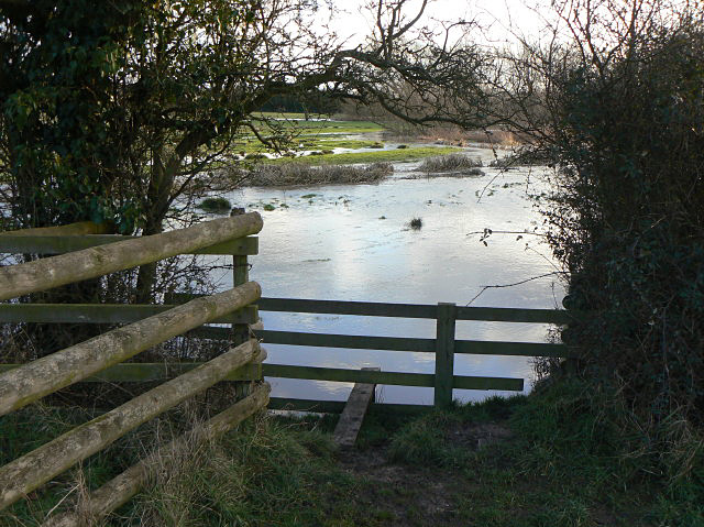
Lower Pool is a small freshwater marsh located in Leicestershire, England. It is known for its tranquil and picturesque landscape, attracting visitors who appreciate nature and wildlife. The marsh is situated in a low-lying area, surrounded by lush vegetation and native plant species.
Covering an area of approximately 10 acres, Lower Pool is primarily composed of a shallow lake, a pool, and a pond. These bodies of water provide a suitable habitat for various water-dwelling creatures, including fish, amphibians, and waterfowl. The lake is home to species such as carp, perch, and tench, making it a popular spot for fishing enthusiasts.
The pool and pond within Lower Pool are adorned with water lilies and other aquatic plants, adding to the beauty of the landscape. These areas also attract a diverse range of bird species, including ducks, swans, and herons. Birdwatchers can observe these creatures in their natural habitat, capturing stunning moments of nature's beauty.
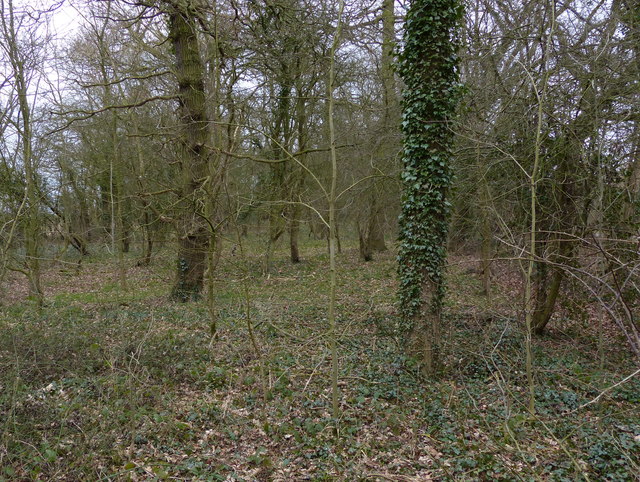
Surrounding the water bodies, the freshwater marsh is covered with reeds, rushes, and other wetland plants. These plants provide shelter and nesting grounds for a variety of wildlife, including insects, reptiles, and small mammals. Nature lovers can explore the marsh's trails, which allow them to immerse themselves in the unique ecosystem and observe the different species that call Lower Pool their home.
Overall, Lower Pool in Leicestershire is a haven for nature enthusiasts, offering a serene environment and an opportunity to witness a diverse range of flora and fauna. Whether it's fishing, birdwatching, or simply enjoying the tranquility of nature, Lower Pool provides a peaceful retreat for all who visit.
If you have any feedback on the listing, please let us know in the comments section below.
Lower Pool Images
Images are sourced within 2km of 52.578193/-1.2757827 or Grid Reference SP4998. Thanks to Geograph Open Source API. All images are credited.


Lower Pool is located at Grid Ref: SP4998 (Lat: 52.578193, Lng: -1.2757827)
Administrative County: Leicestershire
District: Blaby
Police Authority: Leicestershire
What 3 Words
///marginal.plastic.sidelined. Near Earl Shilton, Leicestershire
Nearby Locations
Related Wikis
Thurlaston, Leicestershire
Thurlaston is a village and civil parish in Leicestershire, England. It is in the Blaby local government district, just over 6 miles (9.7 km) west of the...

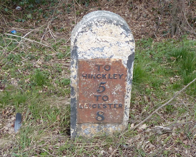
Earl Shilton
Earl Shilton is a market town in Leicestershire, England, about 5 miles (8 km) from Hinckley and about 10 mi (16 km) from Leicester. The 2011 Census recorded...

Potters Marston
Potters Marston is a village and civil parish in the district of Blaby in Leicestershire, England. It has a population of around 40, and is roughly between...

Croft Hill
Croft Hill is a 2-hectare (4.9-acre) biological Site of Special Scientific Interest north of Croft in Leicestershire, England.This site has short, tussocky...

Croft and Huncote Quarry
Croft and Huncote Quarry is a 35.3-hectare (87-acre) geological Site of Special Scientific Interest north of Croft in Leicestershire. It is a Geological...

Huncote
Huncote is a village and civil parish in the district of Blaby in the county of Leicestershire, England. It is just west of Narborough, and is on the...
Croft Pasture
Croft Pasture is a 6.2-hectare (15-acre) biological Site of Special Scientific Interest on the outskirts of Croft in Leicestershire. Most of the site,...
Croft railway station, Leicester
Croft railway station was a railway station serving the village of Croft in Leicestershire. It was on the Birmingham to Peterborough Line about 9 miles...
Nearby Amenities
Located within 500m of 52.578193,-1.2757827Have you been to Lower Pool?
Leave your review of Lower Pool below (or comments, questions and feedback).