Black Jack's Hole

Lake, Pool, Pond, Freshwater Marsh in Oxfordshire Oxford

England

Black Jack's Hole

Railway near Wolvercote Railways, roads, river and canal. There's a lot going on transport wise in SP4810.
Railway near Wolvercote Credit: Des Blenkinsopp

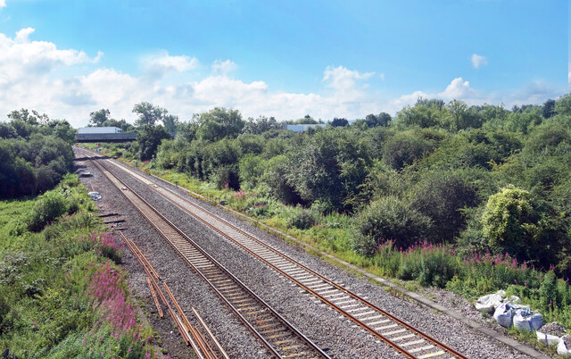
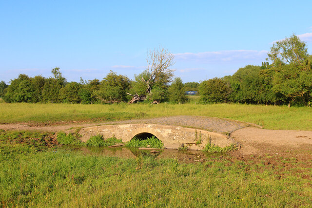
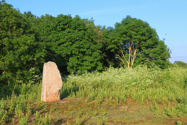
Black Jack's Hole is a picturesque freshwater marsh located in Oxfordshire, England. Spread across a vast area, it is a stunning combination of lake, pool, pond, and marsh, encompassing a variety of ecosystems within its boundaries. The site is named after a legendary local figure, Black Jack, who was believed to have discovered and frequented the area in the past.

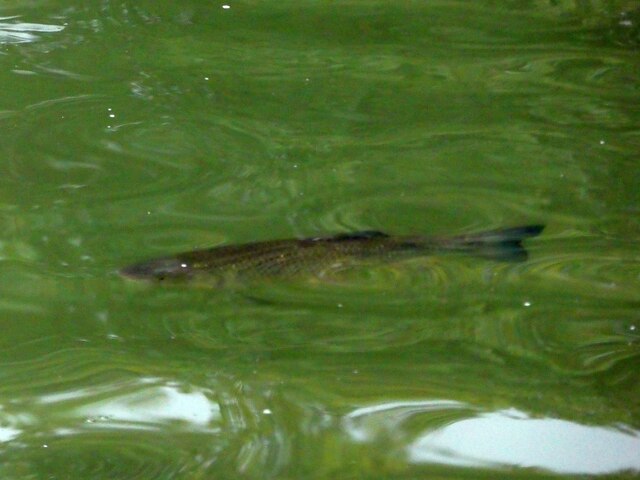
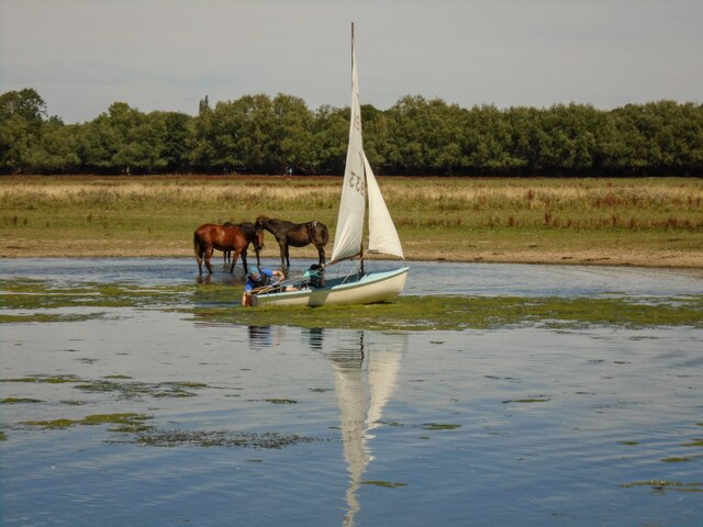
The marsh is nestled amidst a lush green landscape, with its crystal-clear water reflecting the surrounding vegetation. The diverse flora and fauna found here make it a haven for nature enthusiasts and bird watchers alike. The marsh is home to a wide range of plant species, including reeds, rushes, and water lilies, which provide ideal habitats for numerous aquatic creatures.

The marsh is also a popular destination for migratory birds, attracting a multitude of species throughout the year. Bird lovers can spot various waterfowl, such as ducks, geese, and herons, gracefully gliding across the water's surface. The tranquil atmosphere of Black Jack's Hole lends itself to a peaceful and serene experience, allowing visitors to immerse themselves in the beauty of nature.

Furthermore, the marsh serves as an important ecosystem, acting as a natural filtration system for the surrounding area. Its marshy vegetation helps in purifying the water, improving its quality and providing a sustainable environment for aquatic life.

Overall, Black Jack's Hole in Oxfordshire offers a captivating blend of natural beauty, biodiversity, and ecological significance. Whether one seeks a quiet retreat, an opportunity to observe wildlife, or simply a chance to appreciate the wonders of nature, this freshwater marsh is sure to leave a lasting impression.

If you have any feedback on the listing, please let us know in the comments section below.

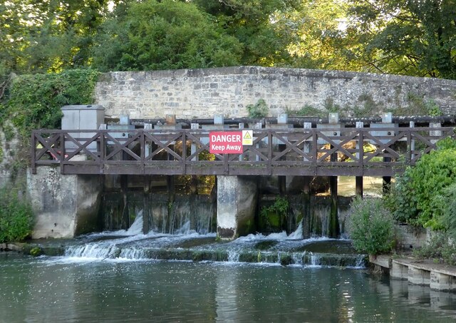
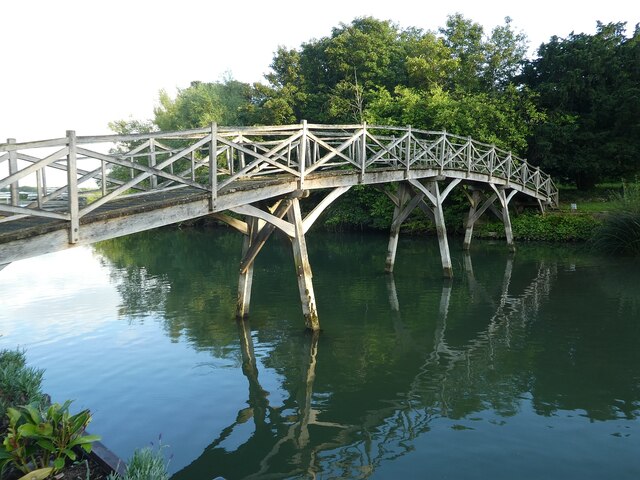
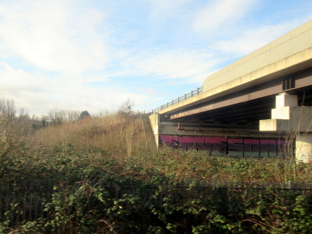
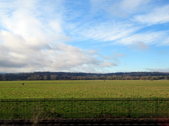
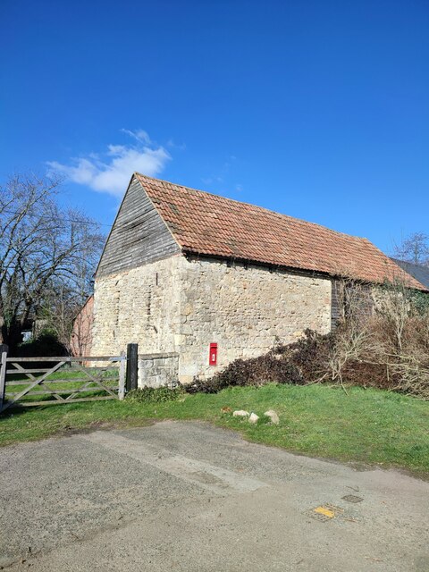
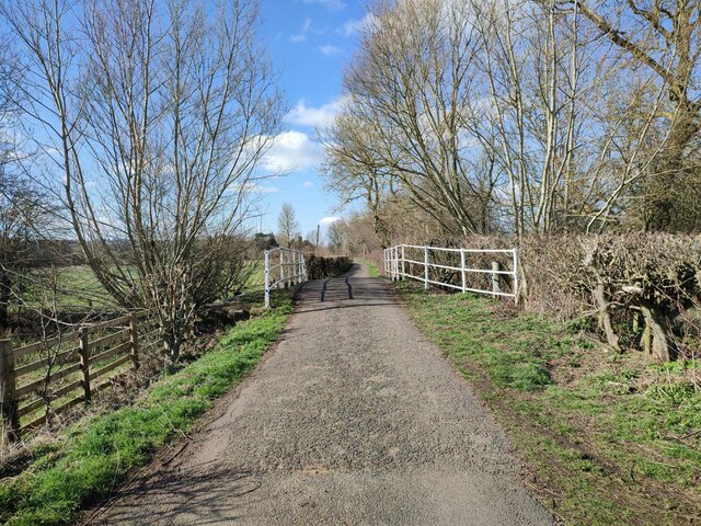
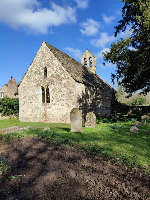
Black Jack's Hole Images

Images are sourced within 2km of 51.772767/-1.2899591 or Grid Reference SP4908. Thanks to Geograph Open Source API. All images are credited.

Railway near Wolvercote Railways, roads, river and canal. There's a lot going on transport wise in SP4810.
Railway near Wolvercote
Railways, roads, river and canal. There's a lot going on transport wise in SP4810.
Wolvercote Tunnel north entrance Wolvercote Tunnel passes under Wolvercote Roundabout in the north of Oxford.  The ex LNWR Bletchley to Oxford railway passes through the tunnel.  When the line became less used, it made a perfect roosting place for bats.  On reconstruction of the line for the Chiltern Railways new services to Oxford, the tunnel was refurbished and equipped with 'Bat Lights' which are triggered by the passing of trains.  This is to persuade the nocturnal animals to remain at roost when a train passes and not fly off and possibly get injured in the process.  The 'Bat lights' are fitted along the tunnel walls and on posts at the entrances to the tunnel, as seen here.
Wolvercote Tunnel north entrance
Wolvercote Tunnel passes under Wolvercote Roundabout in the north of Oxford. The ex LNWR Bletchley to Oxford railway passes through the tunnel. When the line became less used, it made a perfect roosting place for bats. On reconstruction of the line for the Chiltern Railways new services to Oxford, the tunnel was refurbished and equipped with 'Bat Lights' which are triggered by the passing of trains. This is to persuade the nocturnal animals to remain at roost when a train passes and not fly off and possibly get injured in the process. The 'Bat lights' are fitted along the tunnel walls and on posts at the entrances to the tunnel, as seen here.
The Trout Inn, Wolvercote The old stones of the picturesquely situated Trout Inn seen here bathed in late evening sunlight.
The pub is situated immediately adjacent to a branch of the Thames as it flows past Oxford through the village of Wolvercote, though a weir under the bridge next to the pub prevents this arm being navigable.
The pub's own website here <span class="nowrap"><a title="https://www.thetroutoxford.co.uk" rel="nofollow ugc noopener" href="https://www.thetroutoxford.co.uk">Link</a><img style="margin-left:2px;" alt="External link" title="External link - shift click to open in new window" src="https://s1.geograph.org.uk/img/external.png" width="10" height="10"/></span>
Dating mostly from the C17th, it is EH Grade II listed <span class="nowrap"><a title="https://historicengland.org.uk/listing/the-list/list-entry/1369372" rel="nofollow ugc noopener" href="https://historicengland.org.uk/listing/the-list/list-entry/1369372">Link</a><img style="margin-left:2px;" alt="External link" title="External link - shift click to open in new window" src="https://s1.geograph.org.uk/img/external.png" width="10" height="10"/></span>
The Trout Inn, Wolvercote
The old stones of the picturesquely situated Trout Inn seen here bathed in late evening sunlight. The pub is situated immediately adjacent to a branch of the Thames as it flows past Oxford through the village of Wolvercote, though a weir under the bridge next to the pub prevents this arm being navigable. The pub's own website here LinkExternal link Dating mostly from the C17th, it is EH Grade II listed LinkExternal link
Trout at The Trout Why the pub is called what it is!
The Trout Inn (see <a href="https://www.geograph.org.uk/photo/6938018">SP4809 : The Trout Inn, Wolvercote</a>) is immediately adjacent to a branch of the River Thames (or Isis as it is known in this locality). There were eight good sized Brown Trout swimming in the river beside the outside seating area - this is one of them.
Trout at The Trout
Why the pub is called what it is! The Trout Inn (see SP4809 : The Trout Inn, Wolvercote) is immediately adjacent to a branch of the River Thames (or Isis as it is known in this locality). There were eight good sized Brown Trout swimming in the river beside the outside seating area - this is one of them.
Little Godstow Bridge & Weir, Wolvercote Little Godstow Bridge is situated immediately to the south of <a href="https://www.geograph.org.uk/photo/6938018">SP4809 : The Trout Inn, Wolvercote</a> and carries the lane to Wolvercote over a branch of the River Thames (or Isis) with a weir built into its arches dropping the river level by about 4' (1.2m) I would estimate. A navigable arm of the Thames flows under a second bridge (Godstow Bridge) immediately south of this one. 
The bridge, which is mediæval in origin, but was reconstructed in 1892 is EH Grade II listed <span class="nowrap"><a title="https://historicengland.org.uk/listing/the-list/list-entry/1116442" rel="nofollow ugc noopener" href="https://historicengland.org.uk/listing/the-list/list-entry/1116442">Link</a><img style="margin-left:2px;" alt="External link" title="External link - shift click to open in new window" src="https://s1.geograph.org.uk/img/external.png" width="10" height="10"/></span>
Little Godstow Bridge & Weir, Wolvercote
Little Godstow Bridge is situated immediately to the south of SP4809 : The Trout Inn, Wolvercote and carries the lane to Wolvercote over a branch of the River Thames (or Isis) with a weir built into its arches dropping the river level by about 4' (1.2m) I would estimate. A navigable arm of the Thames flows under a second bridge (Godstow Bridge) immediately south of this one. The bridge, which is mediæval in origin, but was reconstructed in 1892 is EH Grade II listed LinkExternal link
Trout Inn Footbridge, Wolvercote This graceful Chinese-style wooden footbridge spans an arm of the River Thames from the patio of <a href="https://www.geograph.org.uk/photo/6938018">SP4809 : The Trout Inn, Wolvercote</a> across to a tiny islet created by the two branches of the Thames (or Isis) here.
It dates from the late C19th/early C20th and is EH Grade II listed <span class="nowrap"><a title="https://historicengland.org.uk/listing/the-list/list-entry/1047307" rel="nofollow ugc noopener" href="https://historicengland.org.uk/listing/the-list/list-entry/1047307">Link</a><img style="margin-left:2px;" alt="External link" title="External link - shift click to open in new window" src="https://s1.geograph.org.uk/img/external.png" width="10" height="10"/></span>
Trout Inn Footbridge, Wolvercote
This graceful Chinese-style wooden footbridge spans an arm of the River Thames from the patio of SP4809 : The Trout Inn, Wolvercote across to a tiny islet created by the two branches of the Thames (or Isis) here. It dates from the late C19th/early C20th and is EH Grade II listed LinkExternal link
A34 Oxford bypass crossing the railway
Wolvercote Common near Oxford
Barn, Binsey
Barn, Binsey
Bridge, Lane to Binsey Church
St Margaret's Church, Binsey
Wolvercote Common Bridge over the brook.
Wolvercote Common
Bridge over the brook.
Memorial Stone John Thompson stone, in Burgess Field, Oxford.
Memorial Stone
John Thompson stone, in Burgess Field, Oxford.
Horses in Thames amused by dinghy sailors Commoners' horses graze on Port Meadow, dinghy from Medley sailing club the other side of the Thames.
Horses in Thames amused by dinghy sailors
Commoners' horses graze on Port Meadow, dinghy from Medley sailing club the other side of the Thames.
Binsey Lane A country lane from Osney to Binsey. There's something not quite right about those trees to the left: diseased, or badly pruned? The metal gates to the right are the access to an electricity substation.
Binsey Lane
A country lane from Osney to Binsey. There's something not quite right about those trees to the left: diseased, or badly pruned? The metal gates to the right are the access to an electricity substation.
View across the Thames and bridge from the Towing Path Looking across the river toward Bossom's boatyard and Binsey from the towpath (seated at path level).
View across the Thames and bridge from the Towing Path
Looking across the river toward Bossom's boatyard and Binsey from the towpath (seated at path level).
All Saints' Church, Wytham
North Road, Cutteslowe
Show me another place!

Black Jack's Hole is located at Grid Ref: SP4908 (Lat: 51.772767, Lng: -1.2899591)

Administrative County: Oxfordshire

District: Oxford

Police Authority: Thames Valley

What 3 Words

///whips.cure.serve. Near Wolvercote, Oxfordshire

Related Wikis

Port Meadow with Wolvercote Common and Green

Port Meadow with Wolvercote Common and Green is a 167.1-hectare (413-acre) biological Site of Special Scientific Interest in Oxford in Oxfordshire. It...

Binsey, Oxfordshire

Binsey is a small village on the west side of Oxford, in Oxfordshire, England. It lies on the banks of the River Thames about 1.5 miles (2.4 km) northwest...

Port Meadow, Oxford

Port Meadow is a large meadow of open common land beside the River Thames to the north and west of Oxford, England. == Overview == The meadow is an ancient...

Godstow Lock

Godstow Lock is a lock on the River Thames in Oxfordshire, England. It is between the villages of Wolvercote and Wytham on the outskirts of Oxford. The...

Nearby Amenities

Located within 500m of 51.772767,-1.2899591
Barrier: kissing_gate
Lat/Long: 51.7743933/-1.2834771
Black Jack's Hole
Lat/Long: 51.7736727/-1.290817
The data included in this document is from www.openstreetmap.org. The data is made available under ODbL.

Have you been to Black Jack's Hole?

Leave your review of Black Jack's Hole below (or comments, questions and feedback).