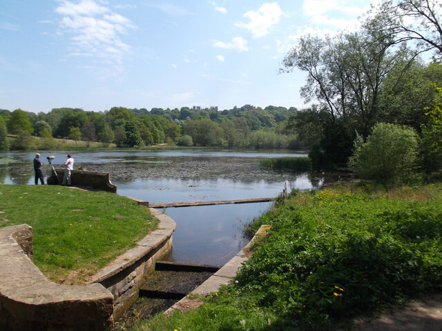
Miller's Pond
Lake, Pool, Pond, Freshwater Marsh in Derbyshire Bolsover
England
Miller's Pond
The requested URL returned error: 429 Too Many Requests
If you have any feedback on the listing, please let us know in the comments section below.
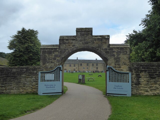
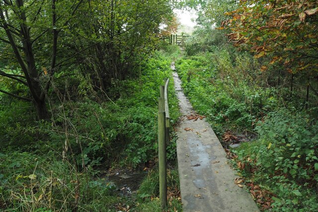
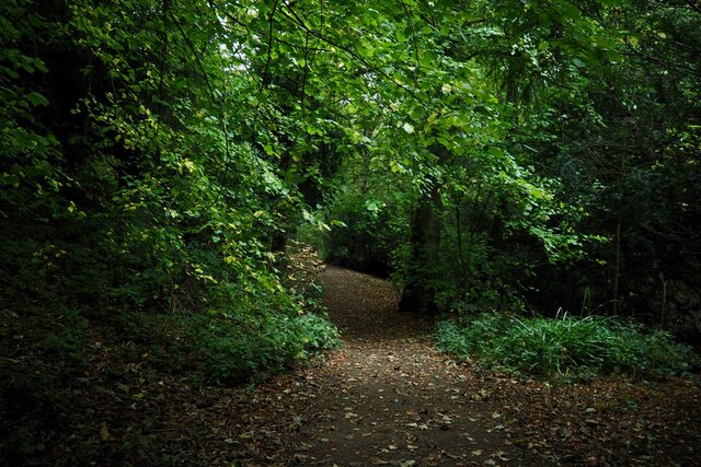
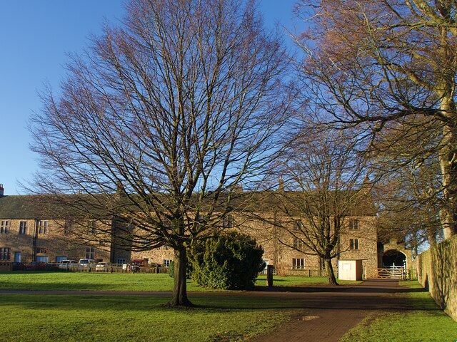
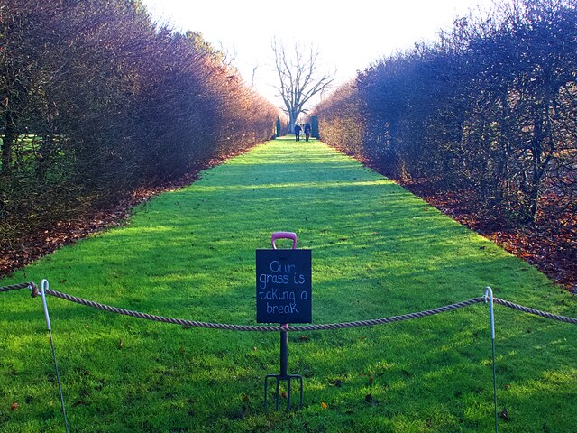
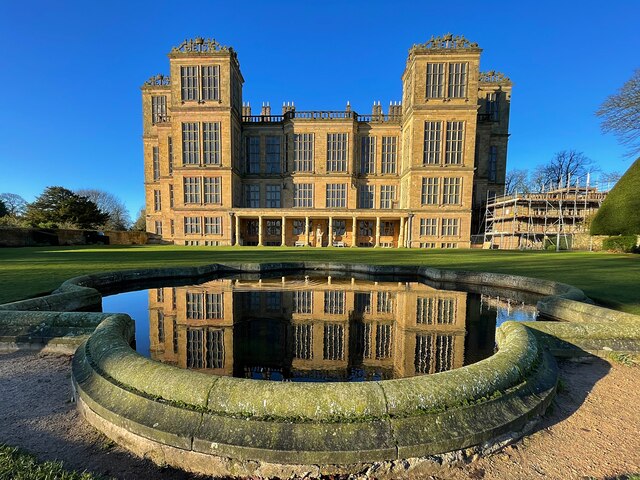
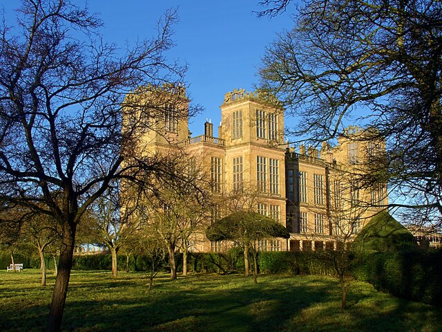
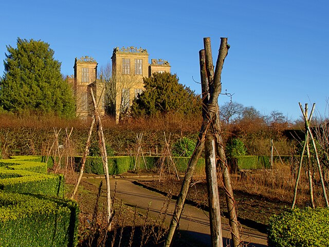
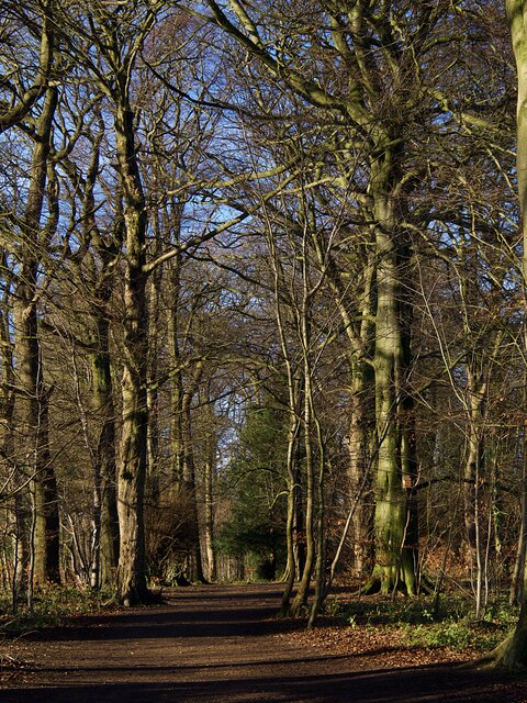
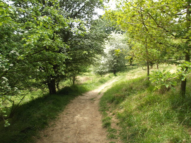
Miller's Pond Images
Images are sourced within 2km of 53.173608/-1.3217376 or Grid Reference SK4564. Thanks to Geograph Open Source API. All images are credited.
Miller's Pond is located at Grid Ref: SK4564 (Lat: 53.173608, Lng: -1.3217376)
Administrative County: Derbyshire
District: Bolsover
Police Authority: Derbyshire
What 3 Words
///skid.simple.zealous. Near Glapwell, Derbyshire
Nearby Locations
Related Wikis

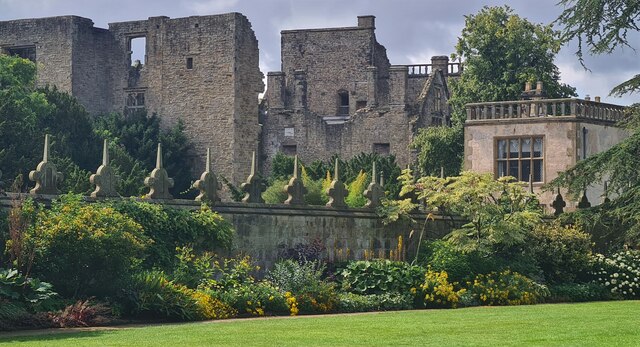
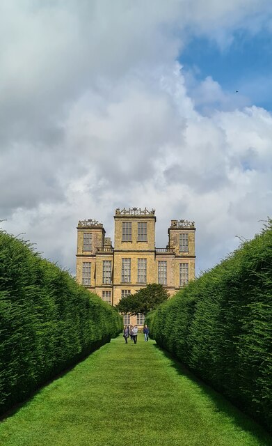
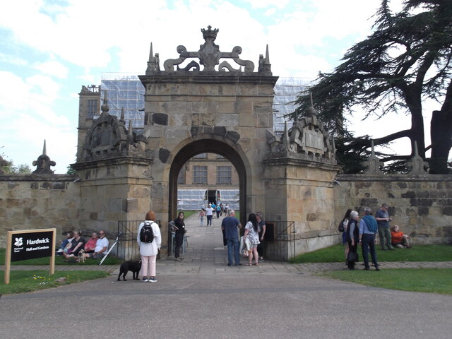
Hardwick Hall
Hardwick Hall in Derbyshire is an architecturally significant country house from the Elizabethan era, a leading example of the Elizabethan prodigy house...

Stainsby Mill
Stainsby Mill is a 19th-century flour watermill in Doe Lea, Chesterfield, Derbyshire, England. The mill, which has been restored to full working order...

Bramley Vale
Bramley Vale is a village in Derbyshire, England, south of Bolsover. It is in the civil parish of Ault Hucknall. == History == Bramley Vale is a former...

Stainsby, Derbyshire
Stainsby is a small village in Derbyshire, England. It is near Chesterfield and Bolsover, and the villages of Heath and Doe Lea. The village population...
Nearby Amenities
Located within 500m of 53.173608,-1.3217376Have you been to Miller's Pond?
Leave your review of Miller's Pond below (or comments, questions and feedback).