Miller's Pond
Lake, Pool, Pond, Freshwater Marsh in Hampshire
England
Miller's Pond

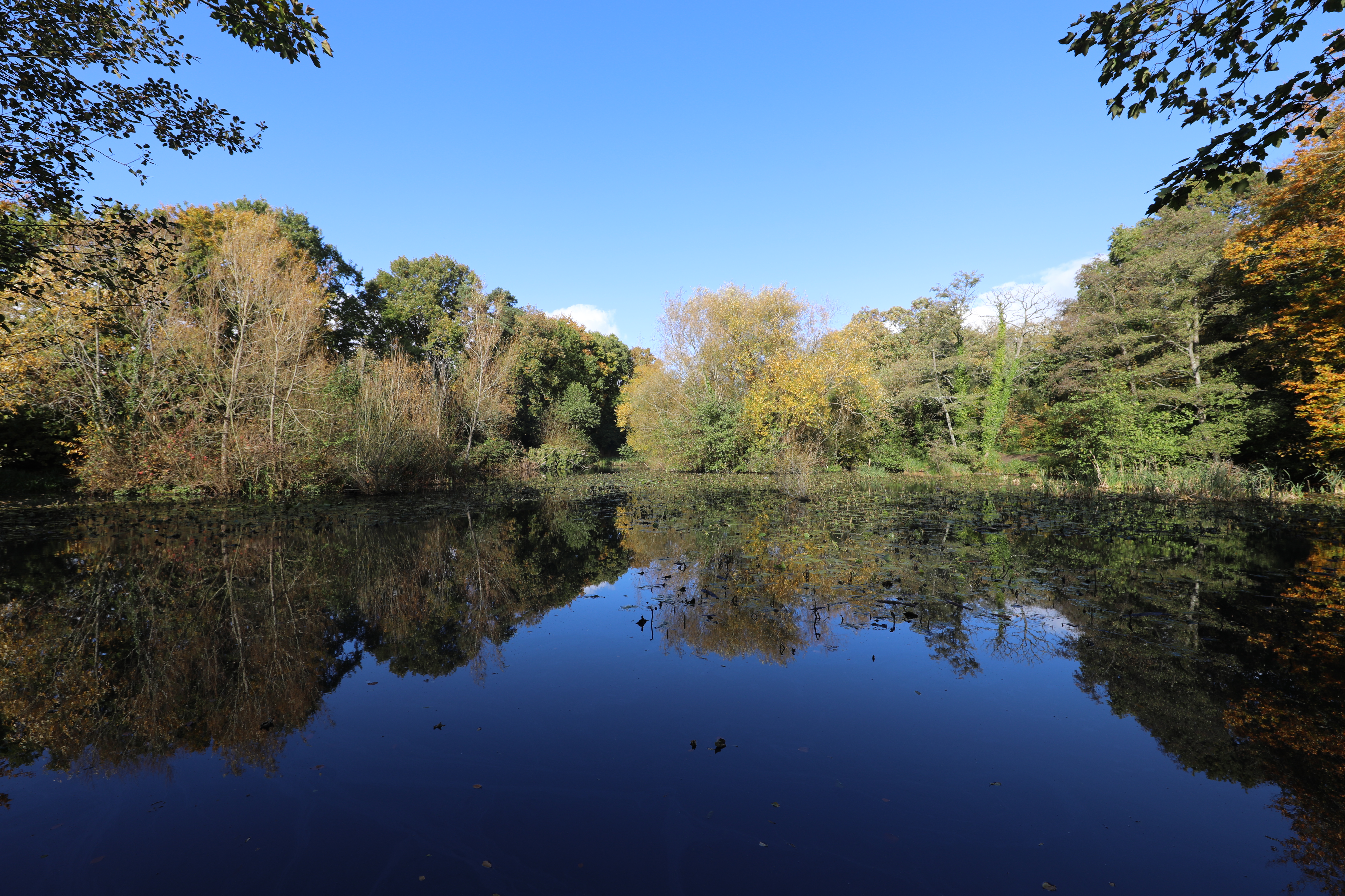
Miller's Pond is a picturesque freshwater body located in Hampshire, England. It is often referred to as a pond, although its size and features resemble that of a small lake. With its serene atmosphere and stunning natural beauty, Miller's Pond has become a popular destination for locals and tourists alike.
Covering an area of approximately 5 acres, the pond is surrounded by lush greenery and offers a tranquil setting for outdoor activities. The water is crystal clear and supports a diverse ecosystem, making it an ideal spot for fishing enthusiasts. Anglers can expect to catch a variety of freshwater fish species, including carp, perch, and roach.
One notable feature of Miller's Pond is its freshwater marsh. This marsh area provides a habitat for numerous plant and animal species, including reeds, rushes, and waterfowl. It serves as a nesting ground for birds and attracts a wide range of wildlife, making it a paradise for birdwatchers and nature enthusiasts.
Visitors to Miller's Pond can enjoy a range of recreational activities. The calm waters are perfect for boating and kayaking, allowing visitors to explore the pond's nooks and crannies. There are also well-maintained walking trails that surround the pond, providing opportunities for leisurely strolls and picnics.
Overall, Miller's Pond offers a beautiful and peaceful retreat in the heart of Hampshire. Whether you're seeking a day of fishing, birdwatching, or simply relaxation in a natural setting, this freshwater body is sure to delight.
If you have any feedback on the listing, please let us know in the comments section below.
Miller's Pond Images
Images are sourced within 2km of 50.89621/-1.3612253 or Grid Reference SU4510. Thanks to Geograph Open Source API. All images are credited.


Miller's Pond is located at Grid Ref: SU4510 (Lat: 50.89621, Lng: -1.3612253)
Unitary Authority: Southampton
Police Authority: Hampshire
What 3 Words
///spoon.feared.saying. Near Netley, Hampshire
Nearby Locations
Related Wikis
Miller's Pond
Miller's Pond is an 8.1-hectare (20-acre) Local Nature Reserve in Southampton in Hampshire. It is owned and managed by Southampton City Council.The pond...
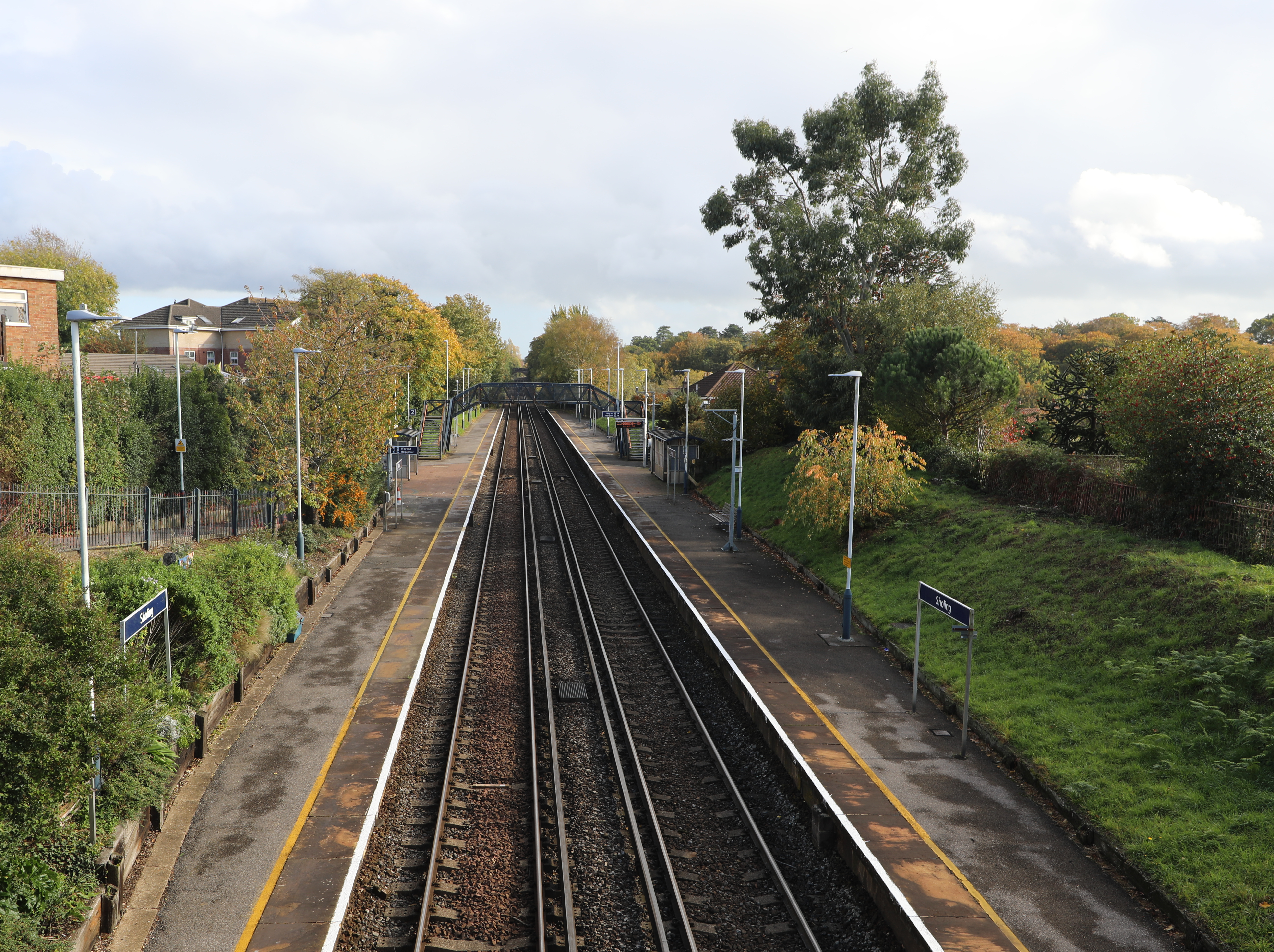
Sholing railway station
Sholing railway station is a railway station serving the suburb of Sholing, on the edge of Southampton, England, operated by South Western Railway. It...

Woolston School
Woolston School Language College was a secondary comprehensive school in Southampton, Hampshire, in southern England. The last Ofsted inspection was on...

Mayfield Park, Southampton
Mayfield Park is a recreational area straddling Woolston and Weston in Southampton, England. The stream that runs through the park is the boundary between...

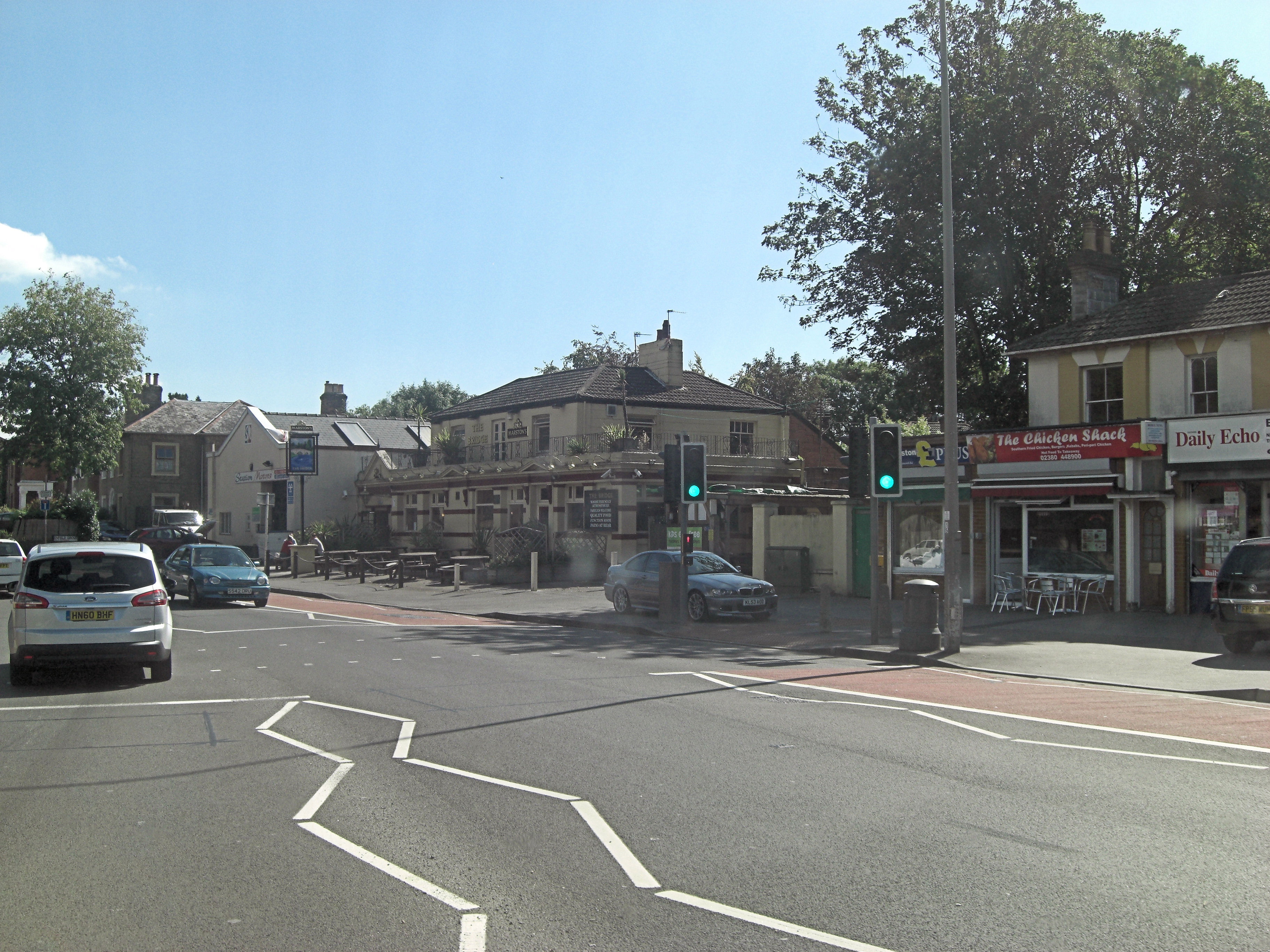
Sholing
Sholing, previously Scholing, is a district on the eastern side of the city of Southampton in Southern England. It is located between the districts of...
Itchen Urban District
Itchen was an urban district in Hampshire, England from 1898 to 1920. It was formed in 1898 from the parishes of St Mary Extra and Sholing (itself created...
Day's Itchen Ground
Day's Itchen Ground was a cricket ground in Southampton, which hosted first-class cricket from 1848 to 1850. == History == County cricket in Southampton...
Weston Secondary School
Weston Secondary School is a coeducational secondary school located in the Weston area of Southampton, in the English county of Hampshire. == History... ==
Nearby Amenities
Located within 500m of 50.89621,-1.3612253Have you been to Miller's Pond?
Leave your review of Miller's Pond below (or comments, questions and feedback).