Crawley Pond

Lake, Pool, Pond, Freshwater Marsh in Hampshire Winchester

England

Crawley Pond

Farm track near New Barn A private track south of the by-way.
Farm track near New Barn Credit: David Martin

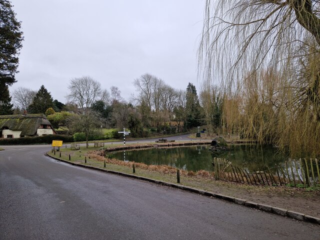
Crawley Pond, located in Hampshire, is a picturesque freshwater pond surrounded by lush greenery and natural beauty. Spanning an area of approximately 2 acres, it is considered a hidden gem for nature enthusiasts and locals alike.

The pond is nestled within Crawley Brook, a small tributary that flows through the surrounding woodland. It is fed by natural springs and rainfall, ensuring a constant supply of fresh, clean water. The water is crystal clear, allowing visitors to observe the diverse aquatic life that inhabits the pond.

Surrounded by a dense canopy of trees, Crawley Pond offers a tranquil and serene atmosphere. The area is rich in biodiversity, with a variety of flora and fauna calling it home. From vibrant water lilies to graceful dragonflies, the pond provides a sanctuary for a range of species.

Crawley Pond is frequented by both anglers and birdwatchers. Fishing enthusiasts can enjoy casting their lines in search of carp, roach, and perch, among other fish species that thrive in its depths. Meanwhile, birdwatchers can spot a plethora of avian species, including kingfishers, herons, and warblers that inhabit the reed beds surrounding the pond.

The pond is also a popular spot for leisurely walks, picnics, and photography. Visitors can immerse themselves in the serene surroundings, exploring the well-maintained trails that encircle the pond. The peaceful ambiance and natural beauty make Crawley Pond an ideal destination for nature lovers seeking a tranquil escape from the bustle of everyday life.

If you have any feedback on the listing, please let us know in the comments section below.
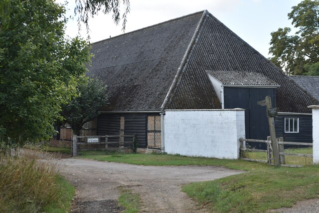
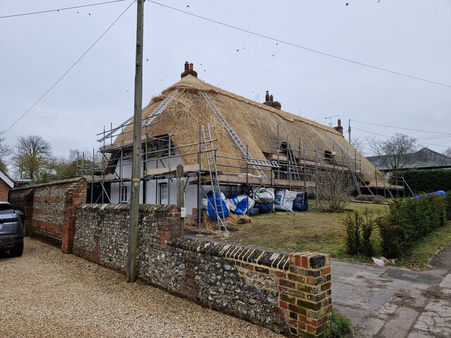
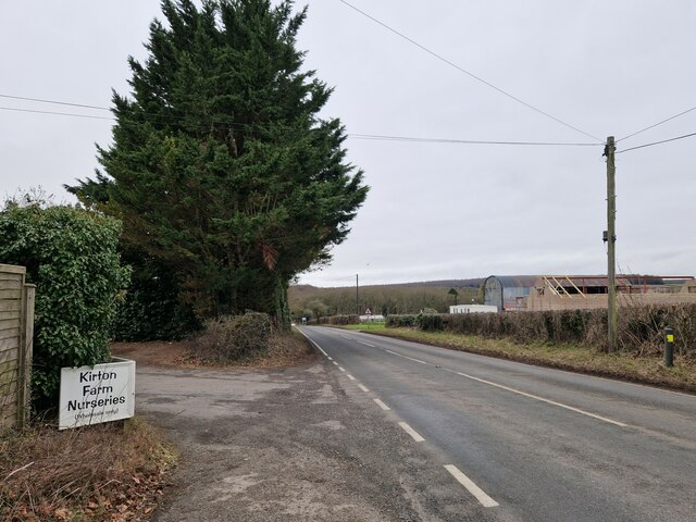
Crawley Pond Images

Images are sourced within 2km of 51.109482/-1.3865316 or Grid Reference SU4334. Thanks to Geograph Open Source API. All images are credited.
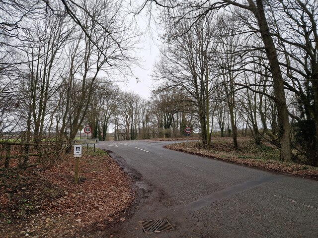
Farm track near New Barn A private track south of the by-way.
Farm track near New Barn
A private track south of the by-way.
Path through strip of woodland near New Barn A narrow path running along the southern edge of the strip of woodland.
Path through strip of woodland near New Barn
A narrow path running along the southern edge of the strip of woodland.
Track southeast from New Barn
Bend in by-way at New Barn
Junction of tracks, New Barn
Lane towards Crawley, New Barn A variety of former agricultural buildings at New Barn have been converted to residential use.
Lane towards Crawley, New Barn
A variety of former agricultural buildings at New Barn have been converted to residential use.
Field adjacent to the A272
Wandering westwards along the Bashire (45) Bus stop opposite Littleton House
Wandering westwards along the Bashire (45)
Bus stop opposite Littleton House
Rush hour in Crawley
House being re-thatched at Crawley
Wandering westwards along the Bashire (47) Looking west-northwest on the B3049
Wandering westwards along the Bashire (47)
Looking west-northwest on the B3049
Wandering westwards along the Bashire (46) Maybe I've watched too many budget TV dramas, but buildings like this always bring to mind blaggers hiding out!
Wandering westwards along the Bashire (46)
Maybe I've watched too many budget TV dramas, but buildings like this always bring to mind blaggers hiding out!
Wandering westwards along the Bashire (48) Looking from Folly Farm towards the crossroads
Wandering westwards along the Bashire (48)
Looking from Folly Farm towards the crossroads
Evening sun, the road from Windmill Hill Heading south, alongside a belt of trees.
Evening sun, the road from Windmill Hill
Heading south, alongside a belt of trees.
Anonymous lane, heading north-east alongside Rack Belt The parish boundary between Crawley [left/north] and Sparsholt [right/south].
Anonymous lane, heading north-east alongside Rack Belt
The parish boundary between Crawley [left/north] and Sparsholt [right/south].
Entrance to Folly Farm Oil Site [Weald Basin] On the north side of Rack Belt. Operated by IGas Energy plc, operators of the largest number of onshore oil and gas sites in Britain.
Entrance to Folly Farm Oil Site [Weald Basin]
On the north side of Rack Belt. Operated by IGas Energy plc, operators of the largest number of onshore oil and gas sites in Britain.
Farmland south of Crawley Looking north from the road junction near Morns Field.
Farmland south of Crawley
Looking north from the road junction near Morns Field.
Public footpath heading north to Crawley Only one of the two mapped field boundaries remains. Just west of Morns Field.
Public footpath heading north to Crawley
Only one of the two mapped field boundaries remains. Just west of Morns Field.
Show me another place!

Crawley Pond is located at Grid Ref: SU4334 (Lat: 51.109482, Lng: -1.3865316)

Administrative County: Hampshire

District: Winchester

Police Authority: Hampshire

What 3 Words

///wordplay.shortens.outraged. Near Kings Worthy, Hampshire

Nearby Locations

Crawley Pond

Related Wikis

Crawley, Hampshire

Crawley is a small village in Hampshire, England. It is a few miles from the county town (and former capital) of Winchester. It is a civil parish within...
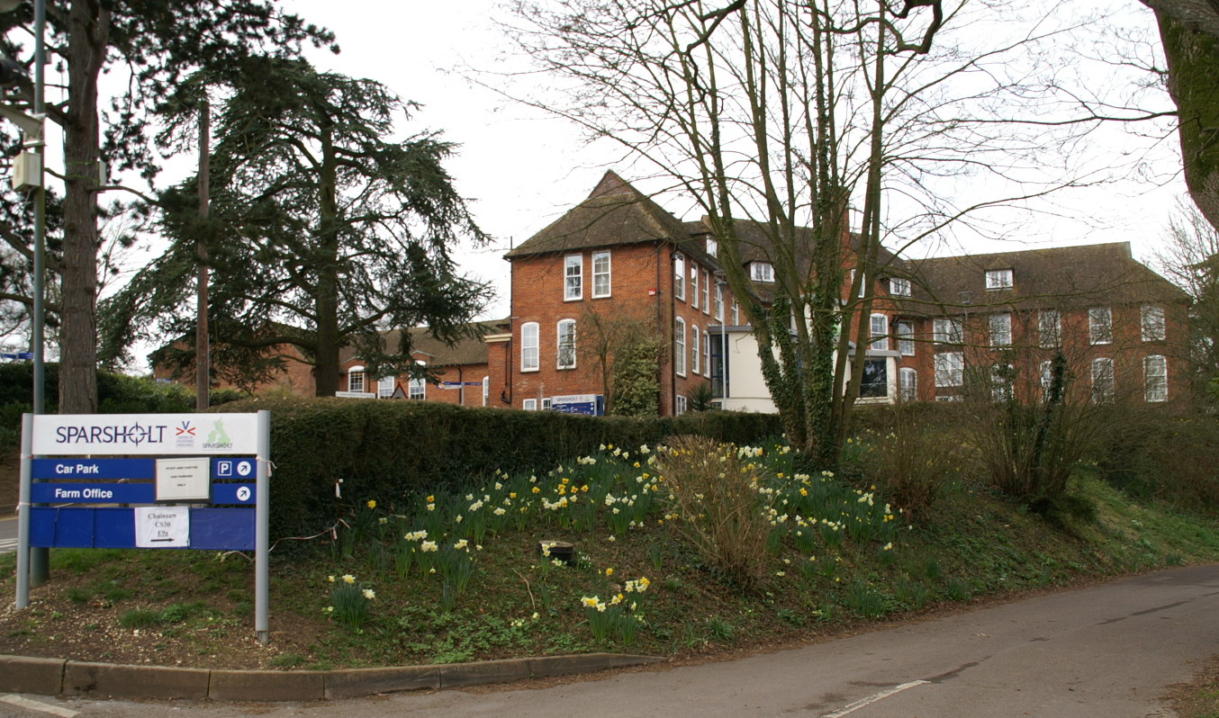
Sparsholt College

Sparsholt College is a Further Education (FE) and Higher Education (HE) college located at Sparsholt near Winchester, with a secondary campus in Andover...

Chilbolton Down

Chilbolten Down is a hamlet in the civil parish of Chilbolton in Hampshire, England. Its nearest town is Stockbridge, which lies approximately 3.4 miles...

Lainston House

Lainston House is a 17th-century country house hotel near Sparsholt, Hampshire in the south of England. It is operated by the Exclusive Hotels chain. It...

Sparsholt, Hampshire

Sparsholt (/ˈspɑːʃəʊlt/) is a village and civil parish in Hampshire, England, 2+1⁄2 miles (4 km) west of Winchester. In 1908 its area was 3,672 acres...

South Wonston

South Wonston is a village on the outskirts of the City of Winchester district of Hampshire, England. The population of the parish of South Wonston was...

Dominican Friary, Winchester

The Dominican Friary, Winchester, otherwise Winchester Blackfriars, was a priory of the Dominican Order in Winchester, Hampshire, England. It was founded...

Littleton and Harestock

Littleton and Harestock is a civil parish consisting of the villages of Littleton and Harestock in the City of Winchester district of Hampshire, England...

Nearby Amenities

Located within 500m of 51.109482,-1.3865316
Crawley
Is In: Hampshire, England, UK
Place: village
Wikidata: Q2201892
Wikipedia: en:Crawley, Hampshire
Lat/Long: 51.110009/-1.3871527
Bus Stop
The Rectory
Naptan AtcoCode: 1900HA110266
Naptan Bearing: SE
Naptan CommonName: The Rectory
Naptan NaptanCode: hamawjdt
Naptan Street: Main Road to Littleton
Naptan Verified: no
Source: naptan_import
Lat/Long: 51.1082456/-1.3843957
Bus Stop
The Rectory
Naptan AtcoCode: 1900HA110267
Naptan Bearing: NW
Naptan CommonName: The Rectory
Naptan NaptanCode: hamawjdp
Naptan Street: Main Road to Littleton
Naptan Verified: no
Source: naptan_import
Lat/Long: 51.1081831/-1.3844679
Bus Stop
Crawley Pond
Naptan AtcoCode: 1900HA110268
Naptan Bearing: W
Naptan CommonName: Crawley Pond
Naptan NaptanCode: hamawgtg
Naptan Street: Road Through Village
Naptan Verified: no
Source: naptan_import
Lat/Long: 51.1097249/-1.3869616
Bus Stop
Crawley Pond
Naptan AtcoCode: 1900HA110269
Naptan Bearing: E
Naptan CommonName: Crawley Pond
Naptan NaptanCode: hamawgtj
Naptan Street: Road Through Village
Naptan Verified: no
Source: naptan_import
Lat/Long: 51.1097877/-1.3869322
Bus Stop
Village School and Hall
Naptan AtcoCode: 1900HA110270
Naptan Bearing: E
Naptan CommonName: Village School and Hall
Naptan NaptanCode: hamawdpj
Naptan Street: Road Through Village
Naptan Verified: no
Source: naptan_import
Lat/Long: 51.110912/-1.3904316
Bus Stop
Village School and Hall
Naptan AtcoCode: 1900HA110271
Naptan Bearing: W
Naptan CommonName: Village School and Hall
Naptan NaptanCode: hamawdpa
Naptan Street: Road Through Village
Naptan Verified: no
Source: naptan_import
Lat/Long: 51.1108548/-1.3904652
Pub
The Fox
Addr City: Winchester
Addr Place: Crawley
Addr Postcode: SO21 2PR
Addr Street: Peach Hill Lane
Lat/Long: 51.1101639/-1.3881935
Bench
Lat/Long: 51.1095918/-1.386328
Bench
Lat/Long: 51.1096476/-1.3864516
Post Box
Collection Plate: CP1
Collection Times: Mo-Fr 16:00; Sa 07:45
Note: built into wall of house
Operator: Royal Mail
Post Box Type: wall
Ref: SO21 167
Royal Cypher: EIIR
Royal Cypher Wikidata: Q33102113
Source: survey
Lat/Long: 51.1108954/-1.3913466
Post Box
Collection Plate: CP7D
Collection Times: Mo-Fr 09:00; Sa 07:00
Operator: Royal Mail
Post Box Type: lamp
Ref: SO21 213D
Royal Cypher: EIIR
Royal Cypher Wikidata: Q33102113
Source: survey
Lat/Long: 51.1099221/-1.387503
Addr Housename: Whitethorn House
Building: house
Source: OS_OpenData_StreetView
Lat/Long: 51.1094688/-1.3837675
Historic: memorial
Memorial: war_memorial
Lat/Long: 51.1107996/-1.3910995
Defibrillator
Emergency: defibrillator
Ref GB The Circuit: 5106E081-213A-4F0E-891F-AD3300C8EBE2
Lat/Long: 51.1108257/-1.3908796
The data included in this document is from www.openstreetmap.org. The data is made available under ODbL.

Have you been to Crawley Pond?

Leave your review of Crawley Pond below (or comments, questions and feedback).