Clubmill Reservoir
Lake, Pool, Pond, Freshwater Marsh in Derbyshire Chesterfield
England
Clubmill Reservoir

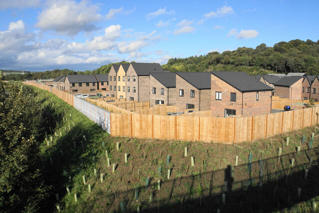
Clubmill Reservoir, located in Derbyshire, is a picturesque freshwater lake nestled amidst the stunning natural beauty of the Peak District. Spanning an area of approximately 30 acres, it offers a tranquil and serene setting for visitors seeking a peaceful escape from the hustle and bustle of everyday life.
Surrounded by lush greenery and rolling hills, Clubmill Reservoir boasts crystal-clear waters that attract nature enthusiasts and anglers alike. The reservoir provides the perfect habitat for a diverse range of aquatic flora and fauna, creating a harmonious ecosystem. Its calm waters are home to various species of fish, making it a popular spot for fishing enthusiasts who enjoy the challenge of reeling in trout and perch.
The reservoir's scenic surroundings also make it an idyllic spot for leisurely walks and picnics. Visitors can explore the numerous walking trails that wind their way around the reservoir, offering breathtaking views of the countryside. The area is also a haven for birdwatchers, with a wide variety of avian species calling Clubmill Reservoir home. From herons and kingfishers to ducks and swans, birdwatchers can delight in spotting these majestic creatures in their natural habitat.
Additionally, Clubmill Reservoir is an important freshwater marsh, playing a crucial role in maintaining the region's ecological balance. The marshland surrounding the reservoir supports a rich diversity of plants and wildlife, contributing to the overall health of the ecosystem.
Overall, Clubmill Reservoir is a hidden gem in Derbyshire, offering a tranquil retreat for nature lovers, anglers, and those seeking solace in the beauty of the British countryside.
If you have any feedback on the listing, please let us know in the comments section below.
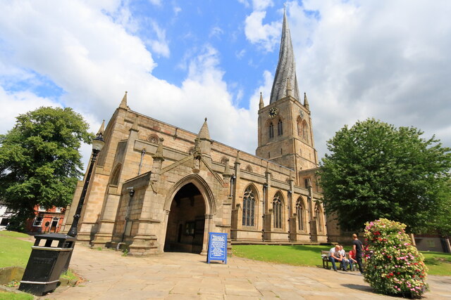
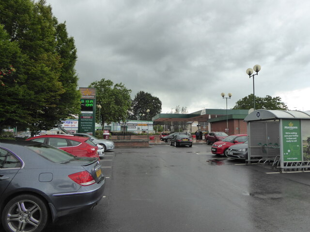
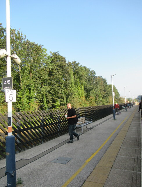
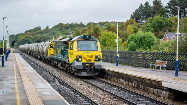
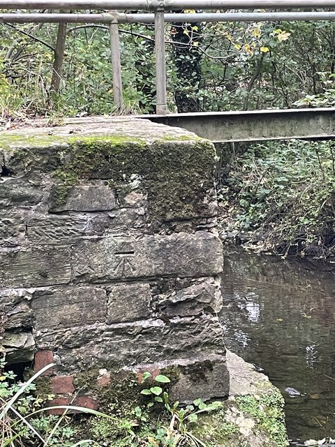
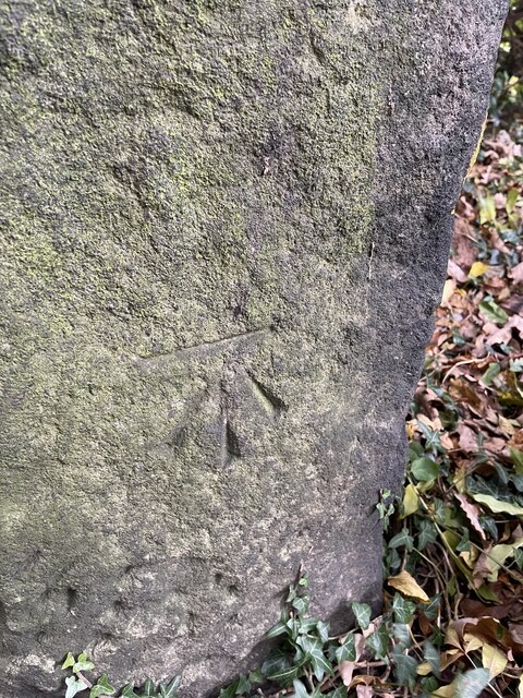
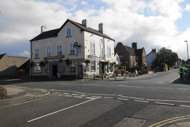
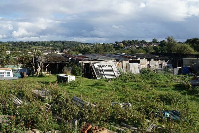
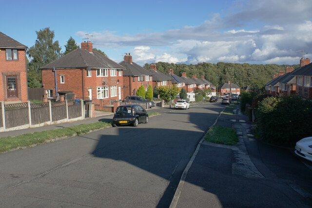
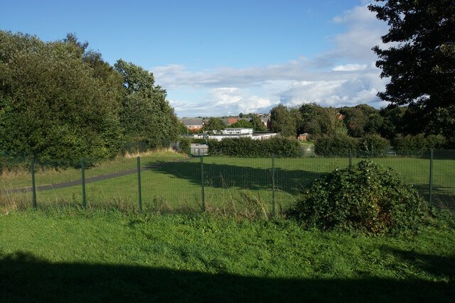
Clubmill Reservoir Images
Images are sourced within 2km of 53.242215/-1.4418944 or Grid Reference SK3771. Thanks to Geograph Open Source API. All images are credited.
Clubmill Reservoir is located at Grid Ref: SK3771 (Lat: 53.242215, Lng: -1.4418944)
Administrative County: Derbyshire
District: Chesterfield
Police Authority: Derbyshire
What 3 Words
///frock.gossip.mats. Near Chesterfield, Derbyshire
Nearby Locations
Related Wikis

Saltergate
Saltergate, officially the Recreation Ground, was the historic home of Chesterfield Football Club, and was in use from 1871 until the club's relocation...

Chesterfield power station
Chesterfield power station supplied electricity to the town of Chesterfield, Derbyshire from 1901 to 1958. The electricity generating station was owned...

Annunciation Church, Chesterfield
Annunciation Church is a Roman Catholic Parish church in Chesterfield, Derbyshire. It was founded by the Society of Jesus in 1854. Located in Spencer Street...

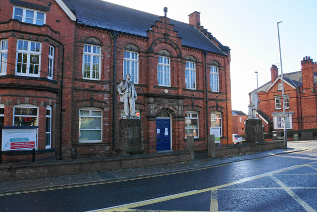
Chesterfield Town Hall
Chesterfield Town Hall is a municipal building on Rose Hill, Chesterfield, Derbyshire, England. It is a Grade II listed building. == History == An 18th...

Holy Trinity Church, Chesterfield
Holy Trinity Church, Chesterfield is a Grade II listed parish church in the Church of England in Chesterfield, Derbyshire. == History == The foundation...

Chesterfield Market Place railway station
Chesterfield Market Place railway station was a former railway station in the centre of the town of Chesterfield, Derbyshire, England. == Three stations... ==
Chesterfield, Derbyshire
Chesterfield is a market town in the Borough of Chesterfield, Derbyshire, England. It is 24 miles (39 km) north of Derby and 11 miles (18 km) south of...
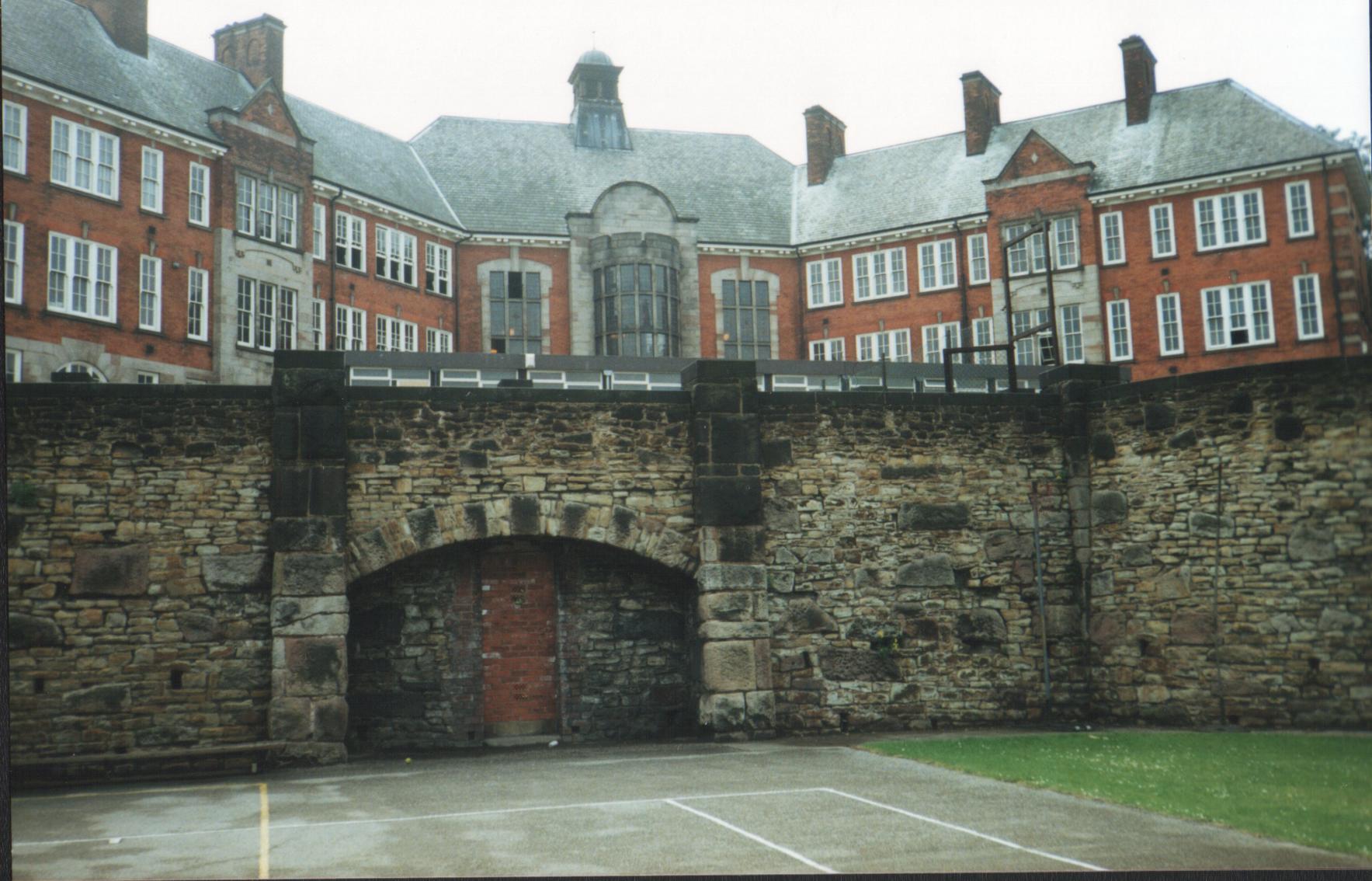
Chesterfield St Helena School
Chesterfield St Helena School, also known as Chesterfield Girls' Grammar School and St Helena School, Chesterfield, was an all-girls high school in Chesterfield...
Nearby Amenities
Located within 500m of 53.242215,-1.4418944Have you been to Clubmill Reservoir?
Leave your review of Clubmill Reservoir below (or comments, questions and feedback).