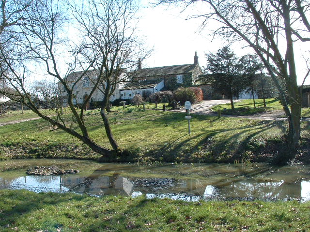
Spring Pond
Lake, Pool, Pond, Freshwater Marsh in Yorkshire
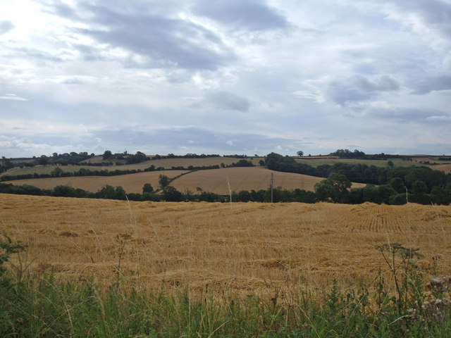
England
Spring Pond
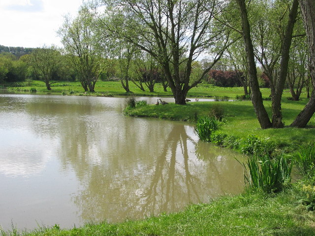
Spring Pond is a picturesque freshwater body located in the scenic region of Yorkshire, England. Nestled amidst rolling green hills and surrounded by lush vegetation, this serene water feature offers a tranquil escape for both locals and visitors alike.
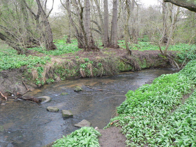
As its name suggests, Spring Pond owes its existence to a natural spring that feeds its crystal-clear waters. With a surface area of approximately 2 hectares, the pond is neither too large nor too small, striking the perfect balance between intimacy and expansiveness. Its depth varies, ranging from shallow areas where sunlight penetrates and encourages the growth of aquatic plants, to deeper sections that provide a habitat for various fish species.
Surrounding the pond is a diverse array of plant life, including water lilies, reeds, and rushes, which provide shelter and nesting sites for a wide variety of bird species. This makes Spring Pond a popular destination for birdwatchers, who can observe the graceful flight and charming calls of species such as mallards, coots, and herons.
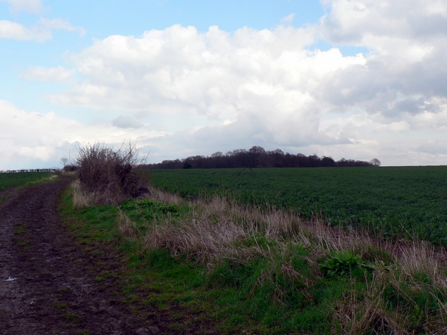
In addition to its aesthetic appeal and ecological significance, Spring Pond also serves as a recreational space for the local community. A well-maintained footpath encircles the pond, allowing visitors to take leisurely strolls while immersing themselves in the breathtaking natural beauty of the area. In the summer months, families often gather around the pond for picnics, while fishing enthusiasts can try their luck at catching perch or roach.
Overall, Spring Pond in Yorkshire offers a harmonious blend of natural beauty, wildlife diversity, and recreational opportunities, making it a true gem in the region's landscape.
If you have any feedback on the listing, please let us know in the comments section below.
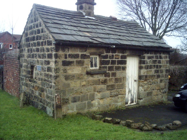
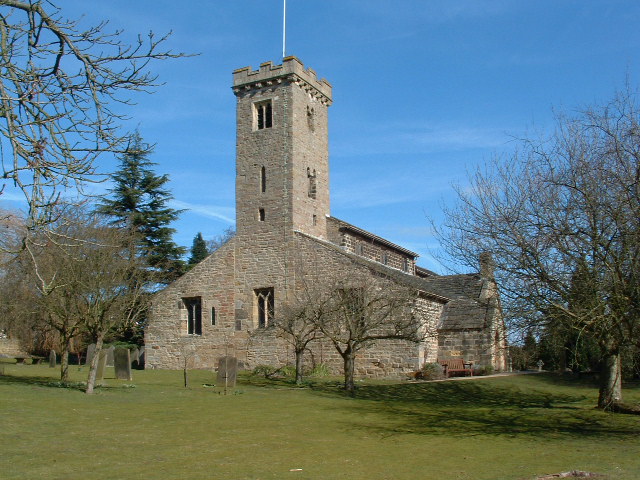
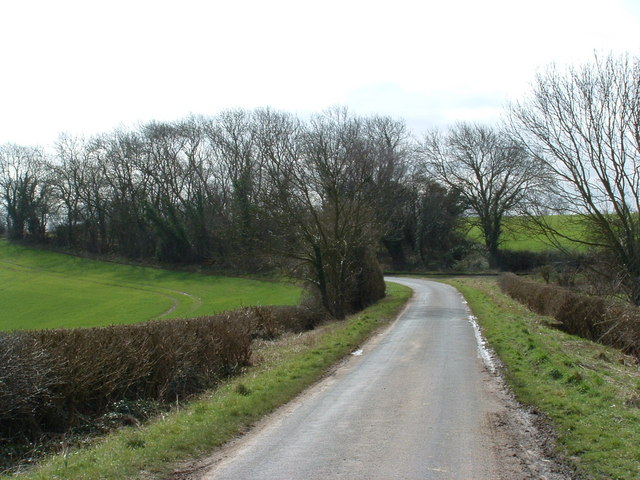
Spring Pond Images
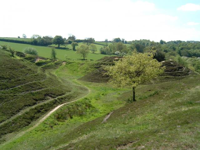
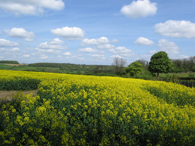
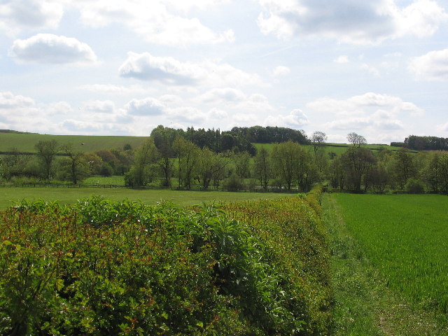
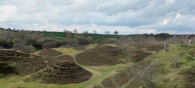
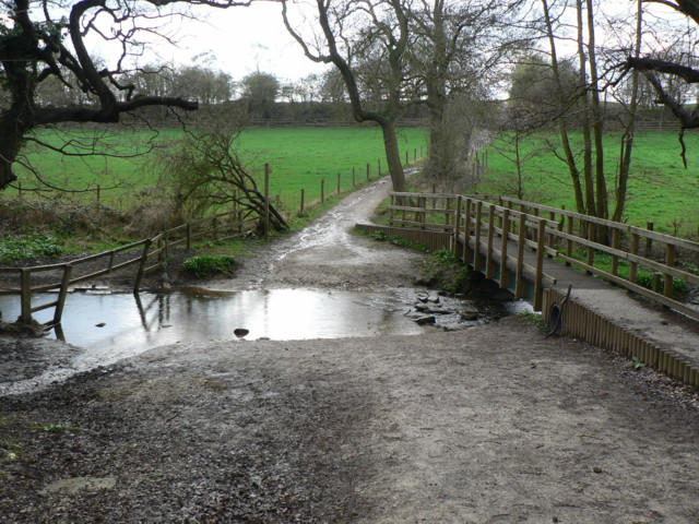
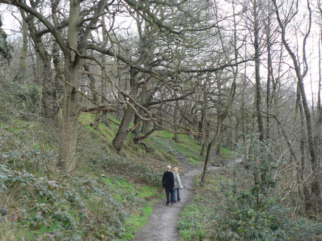
Images are sourced within 2km of 53.88932/-1.4383653 or Grid Reference SE3743. Thanks to Geograph Open Source API. All images are credited.

Spring Pond is located at Grid Ref: SE3743 (Lat: 53.88932, Lng: -1.4383653)
Division: West Riding
Unitary Authority: Leeds
Police Authority: West Yorkshire
What 3 Words
///diver.installs.fairness. Near Bardsey, West Yorkshire
Nearby Locations
Related Wikis

East Rigton
East Rigton is a hamlet in West Yorkshire, England, immediately to the east of Bardsey. == Etymology == The name of East Rigton is first attested in the...

Bardsey railway station
Bardsey railway station was a railway station on the Cross Gates to Wetherby line serving the village of Bardsey, West Yorkshire connecting it with the...

Boulton St. Mary's Church
Boulton St Mary's is the Church of England parish church for the Boulton ward of Derby. It is located on Boulton Lane, Alvaston, Derby, Derbyshire, England...
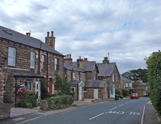
Bardsey, West Yorkshire
Bardsey, West Yorkshire, England is a small village in the City of Leeds metropolitan borough, 8 miles (13 km) north east of Leeds city centre. The village...
Bardsey cum Rigton
Bardsey cum Rigton is a civil parish in the City of Leeds metropolitan borough in West Yorkshire, England. According to the 2001 census it had a population...
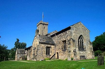
All Hallows Church, Bardsey
All Hallows Church in Bardsey, West Yorkshire, England is an active Anglican parish church in the archdeaconry of Leeds and the Diocese of Leeds. The Bardsey...
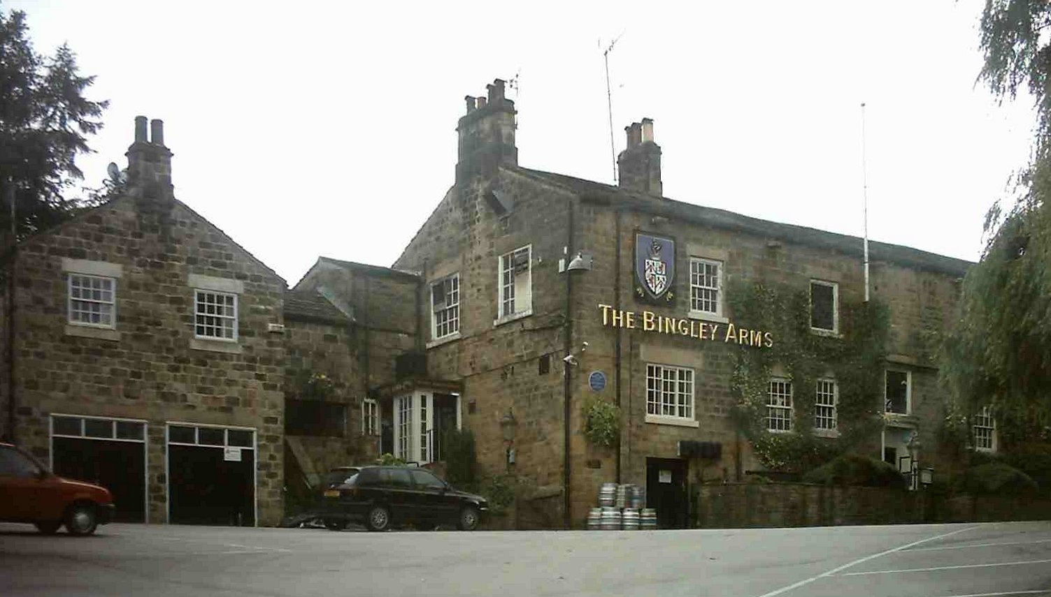
The Bingley Arms
The Bingley Arms is a public house in Bardsey, Leeds, West Yorkshire, England. It claims to be both the oldest surviving business and oldest surviving...
East Keswick
East Keswick is a village and civil parish in the City of Leeds metropolitan borough, West Yorkshire, England. It lies four miles south west of Wetherby...
Nearby Amenities
Located within 500m of 53.88932,-1.4383653Have you been to Spring Pond?
Leave your review of Spring Pond below (or comments, questions and feedback).