Longnewton Reservoir

Lake, Pool, Pond, Freshwater Marsh in Durham

England

Longnewton Reservoir

Old Milestone by the former A66, Darlington Road, Longnewton Carved stone post by the UC road (was A66), in parish of LONGNEWTON (STOCKTON ON TEES District), roadside verge, on North side of road. D/S stone, erected by the Stockton & Barnard Castle turnpike trust in the 19th century. 

Inscription reads:-
: S / 5 : : D / 6 : 

Milestone Society National ID: DU_DAST06.
Old Milestone by the former A66, Darlington Road, Longnewton Credit: IA Davison

The requested URL returned error: 429 Too Many Requests

If you have any feedback on the listing, please let us know in the comments section below.

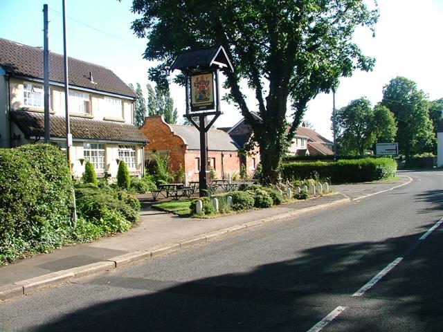
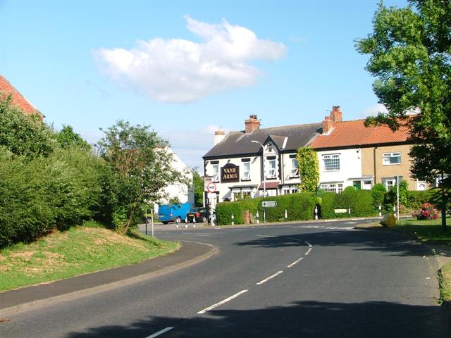
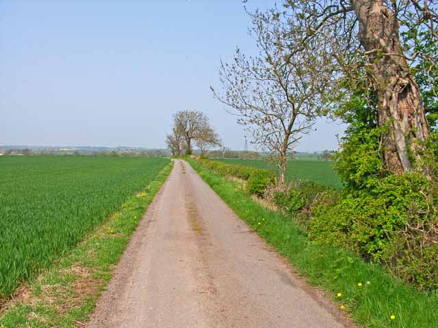
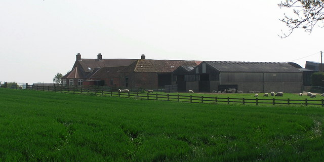
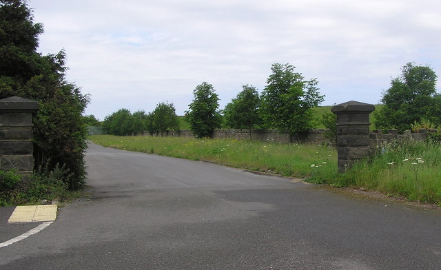
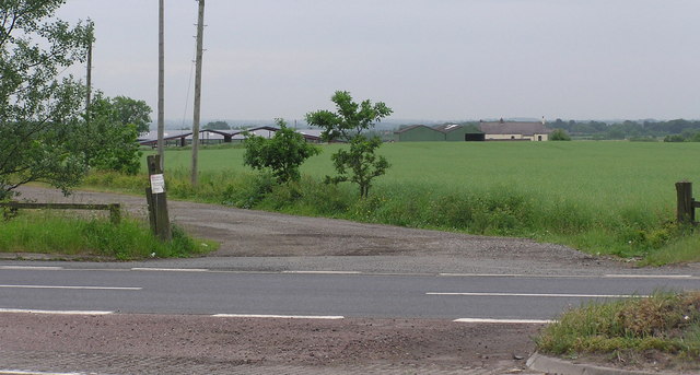
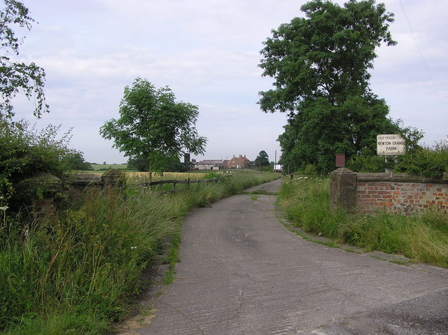
Longnewton Reservoir Images

Images are sourced within 2km of 54.545949/-1.439328 or Grid Reference NZ3616. Thanks to Geograph Open Source API. All images are credited.

Old Milestone by the former A66, Darlington Road, Longnewton Carved stone post by the UC road (was A66), in parish of LONGNEWTON (STOCKTON ON TEES District), roadside verge, on North side of road. D/S stone, erected by the Stockton & Barnard Castle turnpike trust in the 19th century. 

Inscription reads:-
: S / 5 : : D / 6 : 

Milestone Society National ID: DU_DAST06.
Old Milestone by the former A66, Darlington Road, Longnewton
Carved stone post by the UC road (was A66), in parish of LONGNEWTON (STOCKTON ON TEES District), roadside verge, on North side of road. D/S stone, erected by the Stockton & Barnard Castle turnpike trust in the 19th century. Inscription reads:- : S / 5 : : D / 6 : Milestone Society National ID: DU_DAST06.
Junction of Darlington Bank Lane and Back Lane
The Parlour on Back Lane
Back Lane towards the A66
Communications Mast on Back Lane
The  Wilson  Centre  now  the  Village  Hall  Longnewton Built as a church institute in 1886 and named after its benefactor Rev Wilson. It is now leased from the diocese as a village hall. At the junction of Darlington Road and Long Newton Lane
The Wilson Centre now the Village Hall Longnewton
Built as a church institute in 1886 and named after its benefactor Rev Wilson. It is now leased from the diocese as a village hall. At the junction of Darlington Road and Long Newton Lane
Old Milestone by road (was A66), Darlington Road, Longnewton The Milestone is located roadside verge on the North of the road.  Parish of Longnewton (Stockton-on-Tees District). Carved stone post, D/S stone design, erected by the Stockton & Barnard Castle turnpike trust in the 19th Century. An earlier photograph can be found here: <a title="https://www.geograph.org.uk/photo/5624063" href="https://www.geograph.org.uk/photo/5624063">Link</a> 

Inscription reads:-  
S / 5 / : : D / 6 

Milestone Society National ID: DU_DAST06
Old Milestone by road (was A66), Darlington Road, Longnewton
The Milestone is located roadside verge on the North of the road.  Parish of Longnewton (Stockton-on-Tees District). Carved stone post, D/S stone design, erected by the Stockton & Barnard Castle turnpike trust in the 19th Century. An earlier photograph can be found here: Link  Inscription reads:- S / 5 / : : D / 6 Milestone Society National ID: DU_DAST06
Londonderry Arms, Long Newton
Vane Arms. Long Newton
Salter Carr, Back Darlington Lane, near Sadberge
Granary Cottage, Back Darlington Lane Modern barn conversion of a former granary and byre at Salter Carr.
Granary Cottage, Back Darlington Lane
Modern barn conversion of a former granary and byre at Salter Carr.
Farm road to West Newbiggin, near Sadberge
Remains of a wayside house, Back Darlington Lane Unsure of the history of this place although signs of the foundations and a former garden can be clearly seen. Not shown on the 1940 map, so presumably newer than that, appears on the 1988 Landranger map, but now obviously long gone. Possibly some unlovely temporary structure dating from wartime years?
Remains of a wayside house, Back Darlington Lane
Unsure of the history of this place although signs of the foundations and a former garden can be clearly seen. Not shown on the 1940 map, so presumably newer than that, appears on the 1988 Landranger map, but now obviously long gone. Possibly some unlovely temporary structure dating from wartime years?
Mill Hill Farm : Mill  Lane Between Long Newton and Oak Tree.
Mill Hill Farm : Mill Lane
Between Long Newton and Oak Tree.
Longnewton  Reservoir Entrance Gate off the A66(T).
Longnewton Reservoir
Entrance Gate off the A66(T).
Hardstones Farm From the A66(T)
Hardstones Farm
From the A66(T)
Back Lane : Off the A66(T) Larberry Pastures on the right.
Back Lane : Off the A66(T)
Larberry Pastures on the right.
Newton Grange Farm entrance off the A66(T) West of Longnewton Reservoir.
Newton Grange
Farm entrance off the A66(T) West of Longnewton Reservoir.
Show me another place!

Longnewton Reservoir is located at Grid Ref: NZ3616 (Lat: 54.545949, Lng: -1.439328)

Unitary Authority: Stockton-on-Tees

Police Authority: Cleveland

What 3 Words

///thank.until.crisis. Near Bishopton, Co. Durham

Nearby Locations

Longnewton Reservoir

Related Wikis

Longnewton

Longnewton (also known as Long Newton) is a village and civil parish in the borough of Stockton-on-Tees and ceremonial county of County Durham, England...

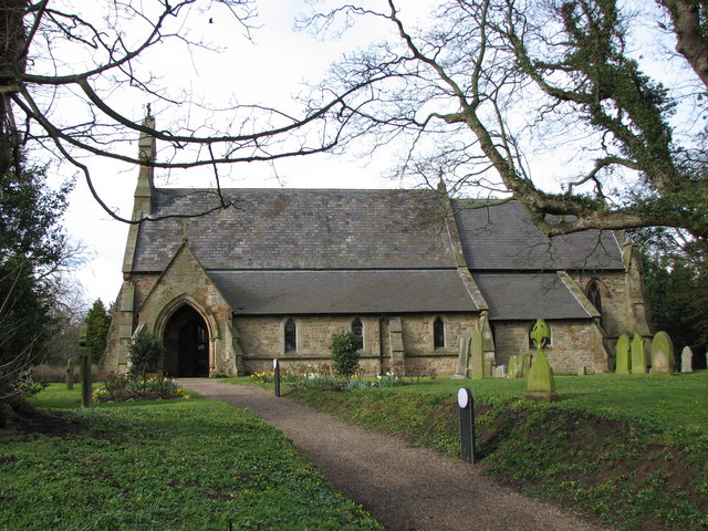
St Mary's Church, Longnewton

St. Mary's Church, Longnewton is a Church of England church in the parish of Longnewton, Stockton-on-Tees, Teesside, England. It is part of the benefice...

Sadberge

Sadberge () is a village in County Durham, England, situated between Darlington and Stockton-on-Tees. It is administered as part of the borough of Darlington...

Whinney Hill, County Durham

Whinney Hill is a village within the borough of Stockton-on-Tees and the ceremonial county of County Durham, England. Whinney Hill lies 2 miles (3.2 km...

Nearby Amenities

Located within 500m of 54.545949,-1.439328
Barrier: yes
Lat/Long: 54.5487268/-1.4360529
Bewley Hill Farm
Source Name: OS OpenData StreetView
Lat/Long: 54.5490376/-1.4349389
The data included in this document is from www.openstreetmap.org. The data is made available under ODbL.

Have you been to Longnewton Reservoir?

Leave your review of Longnewton Reservoir below (or comments, questions and feedback).