Moor, Great

Settlement in Staffordshire South Staffordshire

England

Moor, Great

Private Garden and Mini Golf Course, near Nurton, Staffordshire The last house on the surfaced part of the lane has extensive gardens including this immaculately presented miniature golf course. Shame about the power lines!!
Private Garden and Mini Golf Course, near Nurton, Staffordshire Credit: Roger D Kidd

Moor, Great is a small village located in the county of Staffordshire in the West Midlands region of England. Situated about 5 miles northeast of the town of Uttoxeter, Moor, Great is nestled in a picturesque rural setting surrounded by rolling hills and countryside.

The village is known for its quaint charm and traditional English character. It consists of a scattering of stone houses and cottages, many of which date back several centuries, giving the village a distinct historical feel. The local church, St. James's, is a prominent feature in the village, with its striking architecture and historical significance.

Despite its small size, Moor, Great offers a range of amenities to its residents and visitors. There is a village pub, The Moor Inn, which serves as a popular gathering spot for locals and visitors alike, providing a warm and welcoming atmosphere. The village also has a primary school, providing education to the local children.

The surrounding area offers opportunities for outdoor activities such as walking, cycling, and horseback riding, with numerous trails and paths to explore. Moor, Great is also within easy reach of several larger towns and cities, including Uttoxeter and Stafford, which offer a wider range of amenities such as shopping centers, restaurants, and leisure facilities.

Overall, Moor, Great is a charming and tranquil village, offering a peaceful retreat from the hustle and bustle of city life while still providing access to essential services and recreational opportunities.

If you have any feedback on the listing, please let us know in the comments section below.
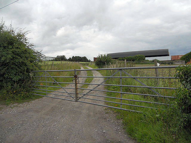
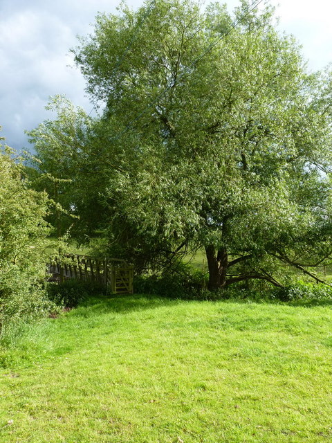
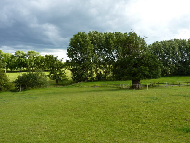
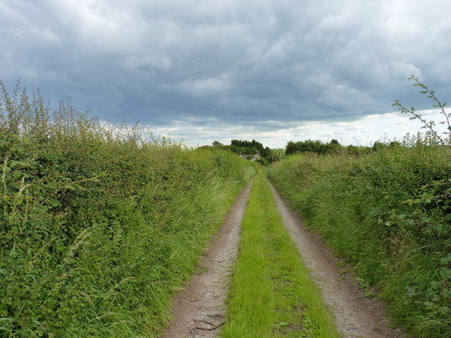
Moor, Great Images

Images are sourced within 2km of 52.582414/-2.242453 or Grid Reference SO8398. Thanks to Geograph Open Source API. All images are credited.

Private Garden and Mini Golf Course, near Nurton, Staffordshire The last house on the surfaced part of the lane has extensive gardens including this immaculately presented miniature golf course. Shame about the power lines!!
Private Garden and Mini Golf Course, near Nurton, Staffordshire
The last house on the surfaced part of the lane has extensive gardens including this immaculately presented miniature golf course. Shame about the power lines!!
Lane to Nurton Hill
Lane to Nurton Hill
Crop Field View The view from Hollies Lane near Pattingham, Staffordshire.
Crop Field View
The view from Hollies Lane near Pattingham, Staffordshire.
Gated farm access at Trescott
The Smestow Brook at Trescott Grange Just downstream of the ford
The Smestow Brook at Trescott Grange
Just downstream of the ford
Footbridge over the Smestow Brook
Farmland in the Smestow valley
Along the Staffordshire Way near Trescott Looking south on the track/footpath that runs between Trescott and Great Moor
Along the Staffordshire Way near Trescott
Looking south on the track/footpath that runs between Trescott and Great Moor
Just about visible A footpath runs along the hedgeline - although the wheat is planted right up hard against the hedge. Passable with care.
Just about visible
A footpath runs along the hedgeline - although the wheat is planted right up hard against the hedge. Passable with care.
No footpath to be seen The map marks a path across here, but there's absolutely no sign on the ground at all. So I just waded in, heading for the gap in the hedge left of centre about 100 yards away...
No footpath to be seen
The map marks a path across here, but there's absolutely no sign on the ground at all. So I just waded in, heading for the gap in the hedge left of centre about 100 yards away...
Back on a marked path After the problems finding a route across the wheatfield on the right (<a href="https://www.geograph.org.uk/photo/2482656">SO8497 : No footpath to be seen</a>), a well-defined track & bridleway is quite a relief.
Back on a marked path
After the problems finding a route across the wheatfield on the right (SO8497 : No footpath to be seen), a well-defined track & bridleway is quite a relief.
Wheat stubble and straw in fields south of Pattingham
Farmland off Moor Lane, Great Moor Cropped fields on the eastern side of Pattingham
Farmland off Moor Lane, Great Moor
Cropped fields on the eastern side of Pattingham
Bennetts Lane, Great Moor A 'shared use' road - sometimes a track, sometimes a streambed.
Bennetts Lane, Great Moor
A 'shared use' road - sometimes a track, sometimes a streambed.
The bridleway leaving Bennetts Lane A bridleway heading westwards to The Clive.
The bridleway leaving Bennetts Lane
A bridleway heading westwards to The Clive.
Bridleway below Little Moor A bridleway across fields below Little Moor farm.
Bridleway below Little Moor
A bridleway across fields below Little Moor farm.
Back towards Great Moor Along the bridleway between Bennett's Lane and The Clive
Back towards Great Moor
Along the bridleway between Bennett's Lane and The Clive
Bridleway towards The Clive The bridleway that runs along the base of the scarp between Great Moor and The Clive is a narrow affair, used only by horses, bikes and pedestrians - unlike so many in the area which have turned into farm tracks.
Bridleway towards The Clive
The bridleway that runs along the base of the scarp between Great Moor and The Clive is a narrow affair, used only by horses, bikes and pedestrians - unlike so many in the area which have turned into farm tracks.
Show me another place!

Moor, Great is located at Grid Ref: SO8398 (Lat: 52.582414, Lng: -2.242453)

Administrative County: Staffordshire

District: South Staffordshire

Police Authority: Staffordshire

What 3 Words

///fancy.shall.washed. Near Pattingham, Staffordshire

Nearby Locations

Great Moor Moor, Great

Related Wikis

Nurton

Nurton is a hamlet in the South Staffordshire District, in the English county of Staffordshire. Nearby settlements include the city of Wolverhampton and...

Pattingham

Pattingham is a village and former civil parish, now in the parish of Pattingham and Patshull, in the South Staffordshire district, in the county of Staffordshire...

Perton

Perton is a large village and civil parish located in the South Staffordshire District, Staffordshire, England. It lies 3 miles to the south of Codsall...

Rudge, Shropshire

Rudge is a settlement and civil parish about 6 miles east of Bridgnorth, in the Shropshire district, in the ceremonial county of Shropshire, England. In...

Nearby Amenities

Located within 500m of 52.582414,-2.242453
Great Moor
Created By: Potlatch 0.10f
Place: hamlet
Lat/Long: 52.5834066/-2.2426999
Power: tower
Source: bing
Lat/Long: 52.5803437/-2.2372181
Power: tower
Source: bing
Lat/Long: 52.5839705/-2.2399852
Power: tower
Source: bing
Lat/Long: 52.5855958/-2.2412037
Barrier: stile
Lat/Long: 52.5841453/-2.2422894
Power: pole
Lat/Long: 52.5814436/-2.2354489
Power: pole
Lat/Long: 52.581864/-2.2369134
Power: pole
Lat/Long: 52.582115/-2.2377502
Power: pole
Lat/Long: 52.5821541/-2.2390645
Power: pole
Lat/Long: 52.5828374/-2.2491053
Power: pole
Lat/Long: 52.5828411/-2.2486801
Power: pole
Lat/Long: 52.582901/-2.2471766
Power: pole
Lat/Long: 52.5822265/-2.2443082
Power: pole
Lat/Long: 52.5822133/-2.2432512
Power: pole
Lat/Long: 52.5821875/-2.2417612
Power: pole
Lat/Long: 52.5821761/-2.2408375
Power: pole
Lat/Long: 52.5823463/-2.2455159
The data included in this document is from www.openstreetmap.org. The data is made available under ODbL.

Have you been to Moor, Great?

Leave your review of Moor, Great below (or comments, questions and feedback).