Barlows Lake
Lake, Pool, Pond, Freshwater Marsh in Hampshire Test Valley
England
Barlows Lake
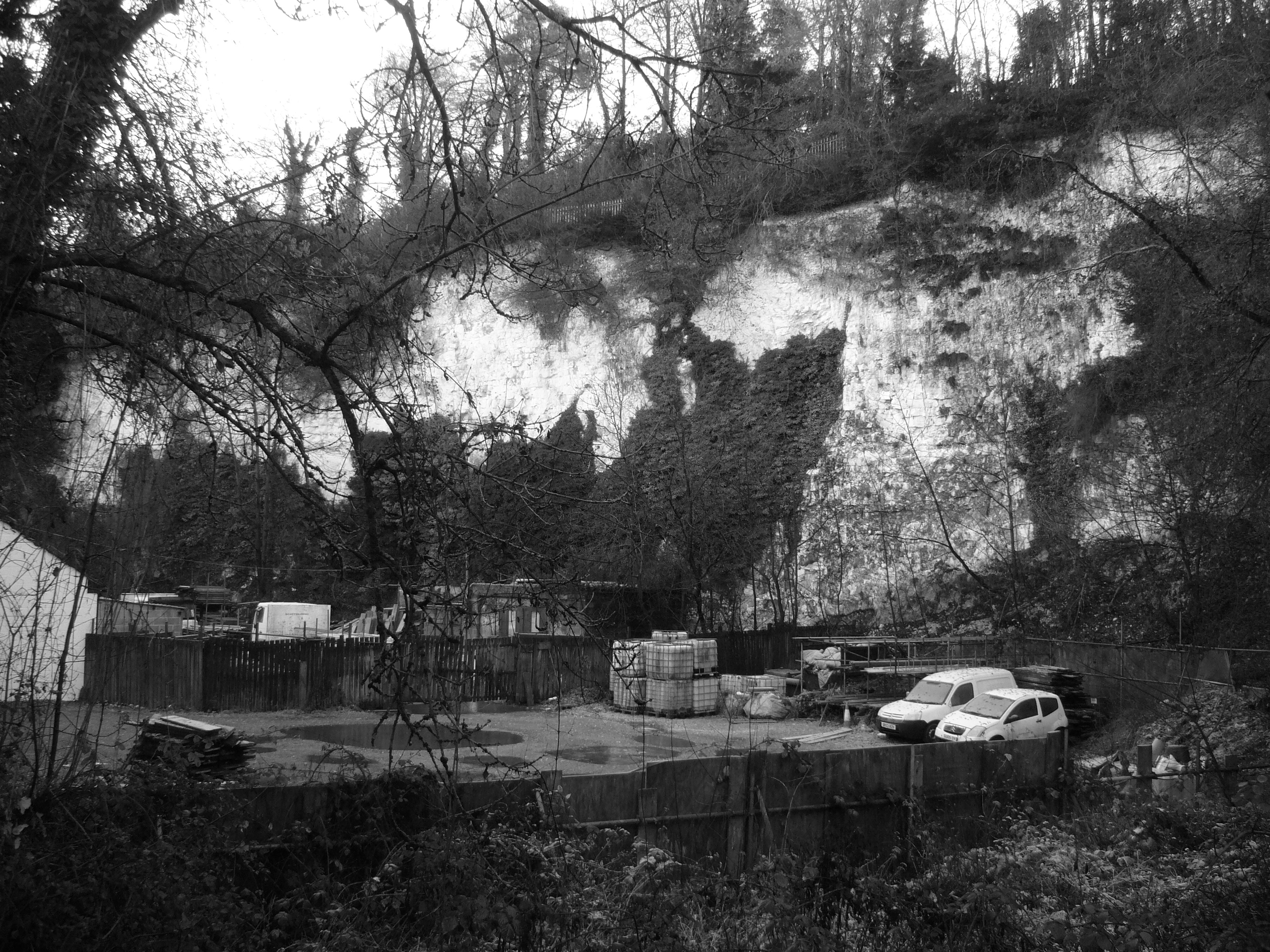
Barlows Lake, located in Hampshire, England, is a picturesque body of water that offers a serene and natural oasis for locals and visitors alike. Spanning an area of approximately 10 acres, it is classified as a lake, although its small size and tranquil surroundings give it the feel of a secluded pond or pool.
The lake is nestled within a lush and diverse landscape, surrounded by verdant vegetation and tall trees, creating a scenic backdrop that adds to its charm. Its crystal-clear, freshwater is fed by natural springs, ensuring a clean and pristine environment for the various species of fish and aquatic life that inhabit its depths.
Barlows Lake also boasts a thriving freshwater marsh ecosystem, adding an additional layer of biodiversity to its already rich natural tapestry. The marsh is teeming with an array of plant species, such as reeds, rushes, and water lilies, providing a habitat for numerous bird species, amphibians, and insects.
Visitors to Barlows Lake can engage in a range of activities, including fishing, boating, and birdwatching. Fishing enthusiasts will appreciate the lake's healthy fish population, which includes species such as carp, roach, and perch. Boating is a popular pastime, with kayaks and small rowboats available for hire, allowing visitors to explore the lake's tranquil waters at their leisure.
Overall, Barlows Lake offers a peaceful and idyllic setting for those seeking a respite from the hustle and bustle of everyday life. Its combination of natural beauty, diverse wildlife, and recreational opportunities make it a must-visit destination for nature lovers and outdoor enthusiasts in Hampshire.
If you have any feedback on the listing, please let us know in the comments section below.
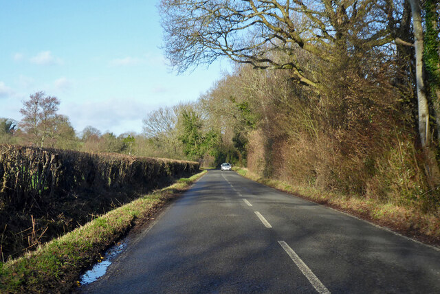
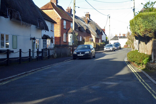
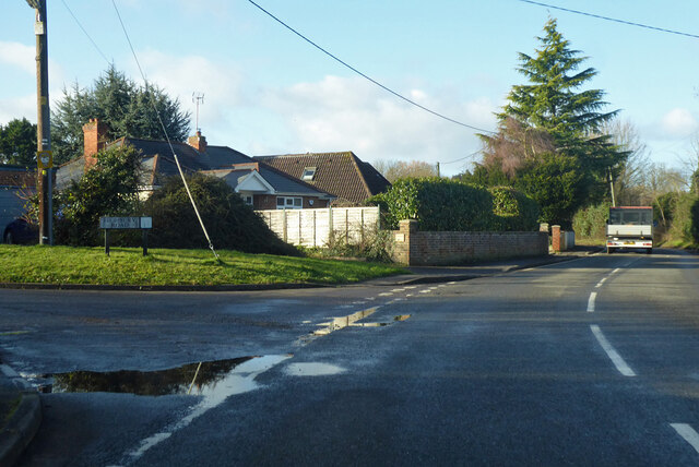
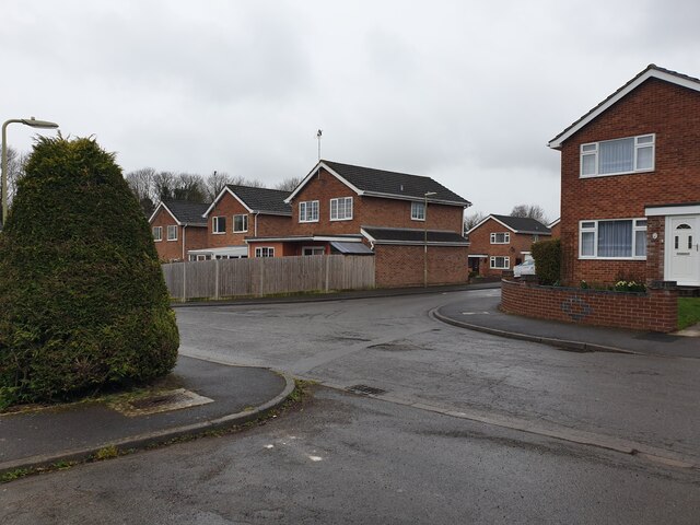
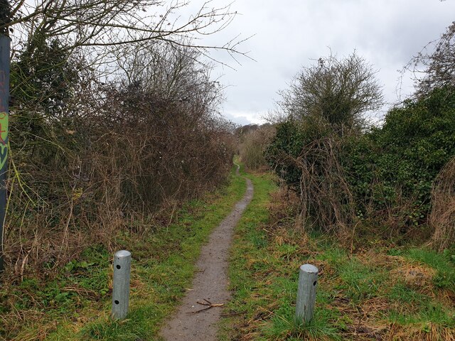
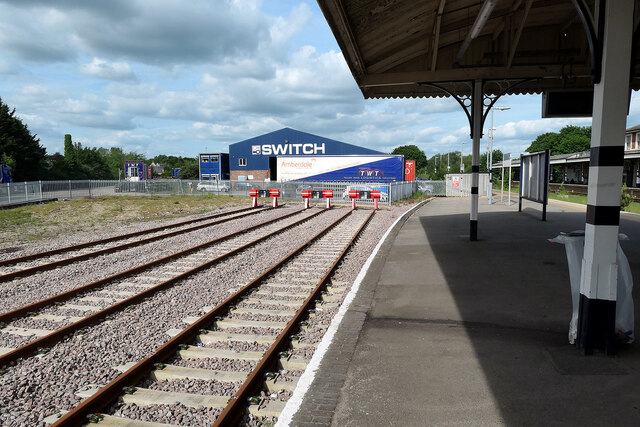
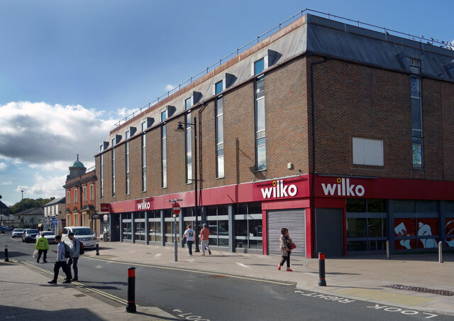
Barlows Lake Images
Images are sourced within 2km of 51.197565/-1.4928875 or Grid Reference SU3544. Thanks to Geograph Open Source API. All images are credited.


Barlows Lake is located at Grid Ref: SU3544 (Lat: 51.197565, Lng: -1.4928875)
Administrative County: Hampshire
District: Test Valley
Police Authority: Hampshire
What 3 Words
///always.tender.rating. Near Anna Valley, Hampshire
Nearby Locations
Related Wikis
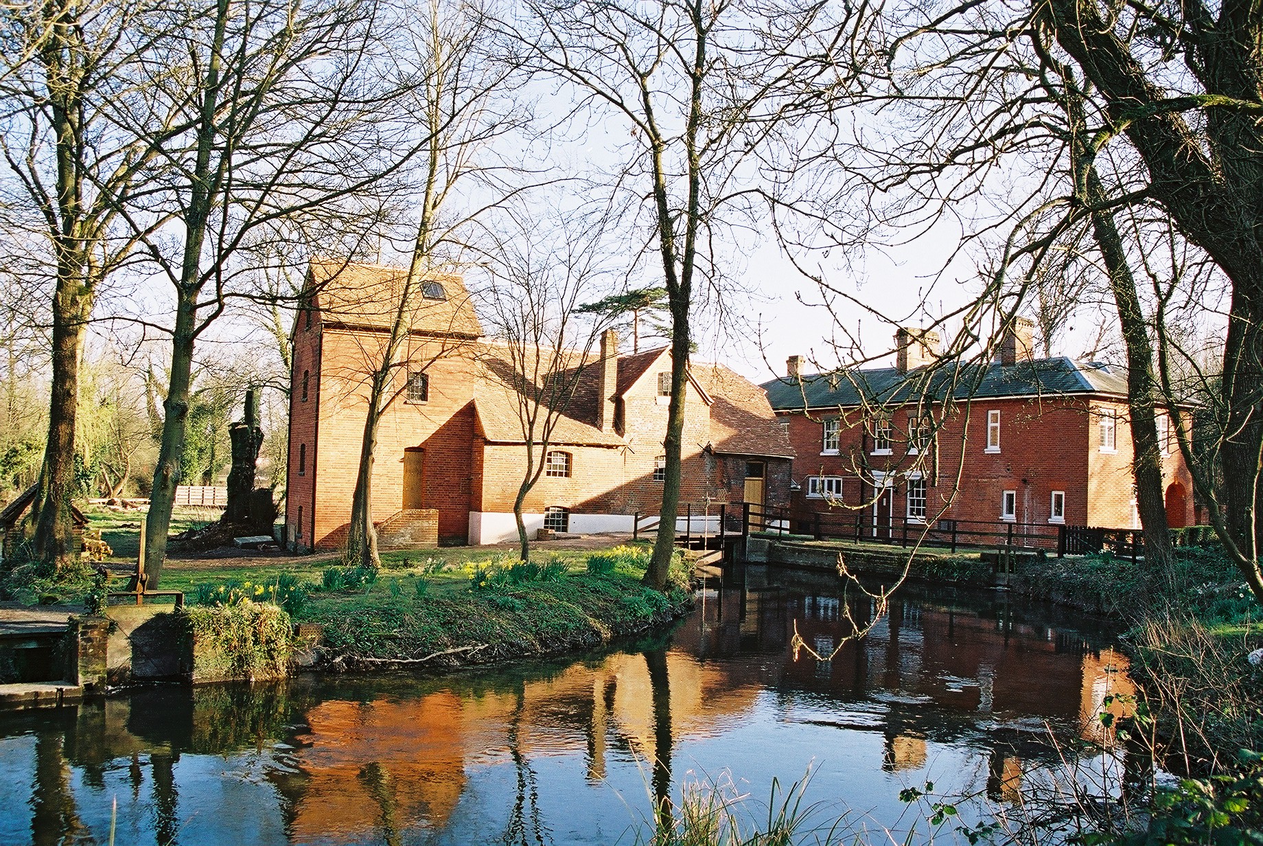
Rooksbury Mill
Rooksbury Mill is an old watermill on the River Anton in Andover, Hampshire, England, and a Grade II listed building. The building and its associated structures...

Pillhill Brook
Pilhill Brook is a 9.9-kilometre-long (6.2 mi) tributary of the River Anton in Hampshire, England. It is a chalk stream, known for its trout fishing....

Balksbury
Balksbury is the site of a former Bronze Age hill fort to the southwest of Andover, Hampshire. Originally triangular in shape, most of it has been destroyed...
Upper Clatford
Upper Clatford is a village and civil parish in Hampshire, England. The village is in the valley of the River Anton, 3.5 miles (5.6 km) upstream from the...
Anna Valley
Anna Valley is part of the village and parish of Upper Clatford, Hampshire, United Kingdom. The settlement is located approximately 1.0 mile (1.6 km)...
Rookwood School
Rookwood School is an independent day and boarding school for children aged 2 to 18, located on a campus off Weyhill Road in Andover, Hampshire, England...

Andover Town railway station
Andover Town railway station was a former railway station that served the town of Andover in the English county of Hampshire. Located on the Andover to...
John Hanson Community School
John Hanson Community School is a coeducational community secondary school, located in Andover, in the English county of Hampshire.It was formerly known...
Related Videos
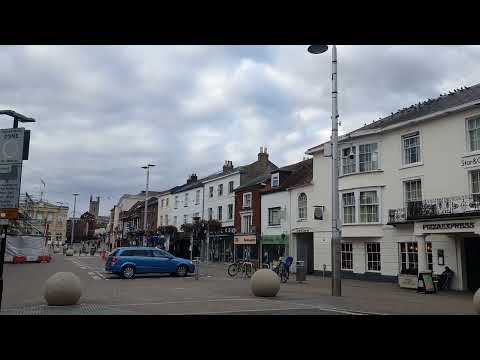
Andover Town Centre - Hampshire
Hampshire Playlist: https://www.youtube.com/playlist?list=PL3rSdzPpvGrsExZafeFgWDqVfZZdHLTJc Map Location: ...

NANCY SINATRA - 'THESE BOOTS ARE MADE FOR WALKING' (Ian Stone's 2024 Remixed & Extended Version)
AWESOME ONE-HIT WONDER SIXTIES CLASSIC TRACK HERE FROM 1966 CALLED 'THESE BOOTS ARE MADE FOR ...

#travel ♥️♥️🇬🇧 Kids (Achtabahn Mix) de la Steve Kroeger x J$N x Skye -cover@follow-me follow me
Kids (Achtabahn Mix) de la Steve Kroeger x J$N x Skye- cover #romania #foryou #funny #iloveyou #uk #trending ...
Nearby Amenities
Located within 500m of 51.197565,-1.4928875Have you been to Barlows Lake?
Leave your review of Barlows Lake below (or comments, questions and feedback).