Bight of Braewick

Lake, Pool, Pond, Freshwater Marsh in Shetland

Scotland

Bight of Braewick

Slyde, East Burrafirth House at the end of the road, above Aith Voe.
Slyde, East Burrafirth Credit: Mike Pennington

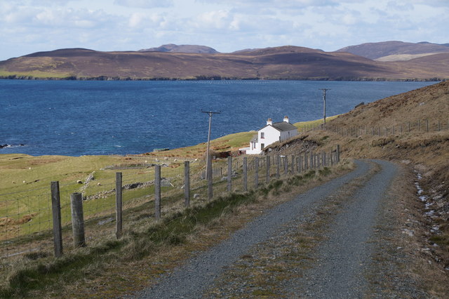
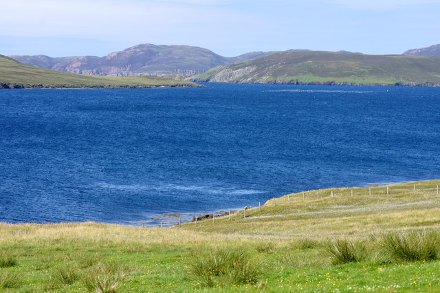
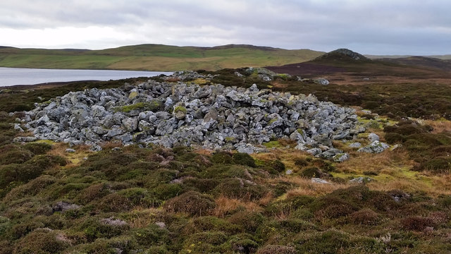
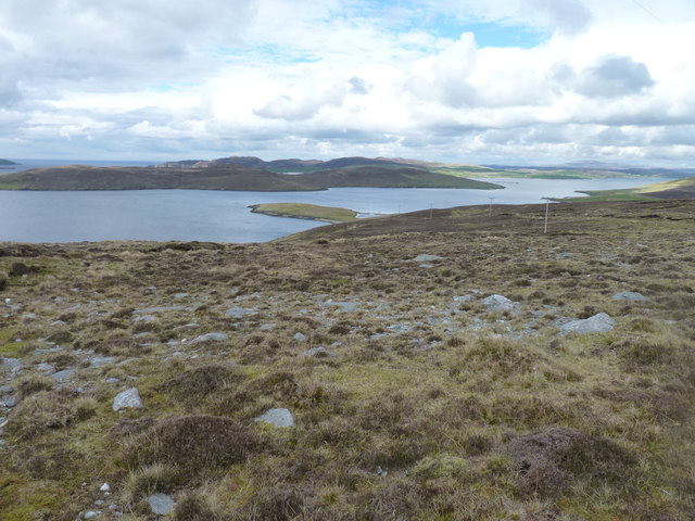
The Bight of Braewick is a stunning natural feature located on the west coast of Shetland, an archipelago in Scotland. It is not a lake, pool, pond, or freshwater marsh, but rather a picturesque bay or cove. The Bight of Braewick is known for its dramatic and rugged beauty, with towering cliffs, pristine sandy beaches, and crystal-clear turquoise waters.

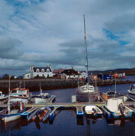
Covering an area of approximately 1.5 kilometers, the Bight of Braewick is a popular destination for locals and tourists alike. Its sheltered location offers protection from the strong currents of the North Atlantic Ocean, making it an ideal spot for various recreational activities such as swimming, kayaking, and fishing.

The bay is also known for its rich marine life, attracting divers and snorkelers who can explore the underwater ecosystem. It is not uncommon to spot seals, otters, and a variety of seabirds in the area, adding to the natural charm and biodiversity of the Bight of Braewick.

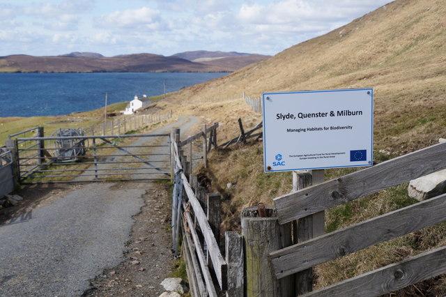
Surrounding the bay are rolling green hills and picturesque coastal landscapes, providing ample opportunities for hiking and exploring the surrounding nature. Additionally, there is a small village nearby called Braewick, where visitors can find amenities such as cafes, accommodation, and visitor information centers.

Overall, the Bight of Braewick is a breathtaking natural feature that showcases the raw beauty of Shetland's coastal landscapes. Its unique combination of cliffs, sandy beaches, and diverse marine life make it a must-visit destination for nature enthusiasts and those seeking tranquility amidst scenic surroundings.

If you have any feedback on the listing, please let us know in the comments section below.

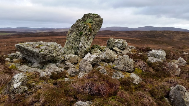
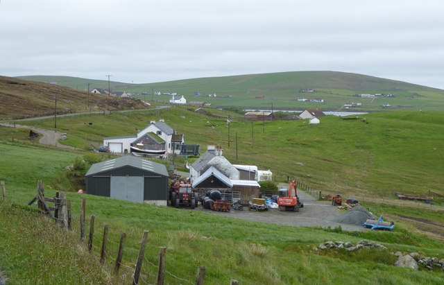
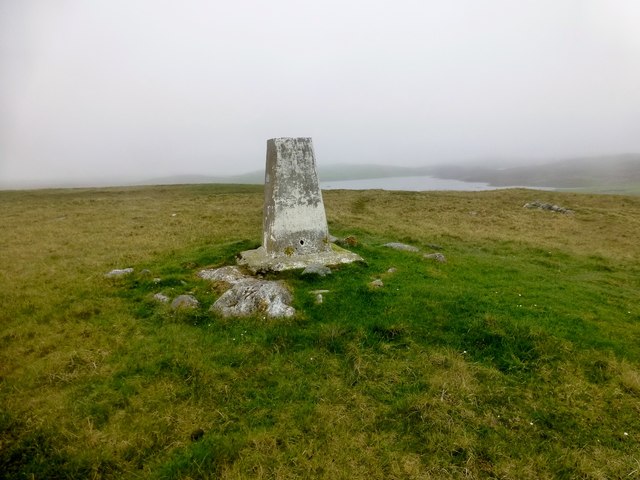
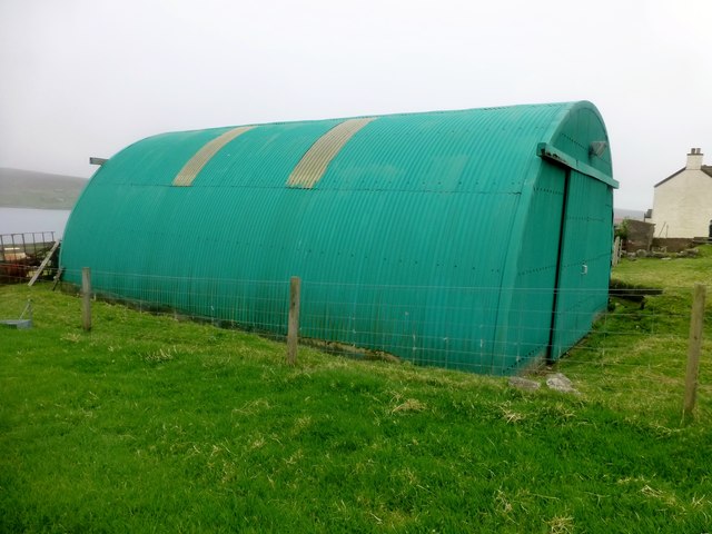
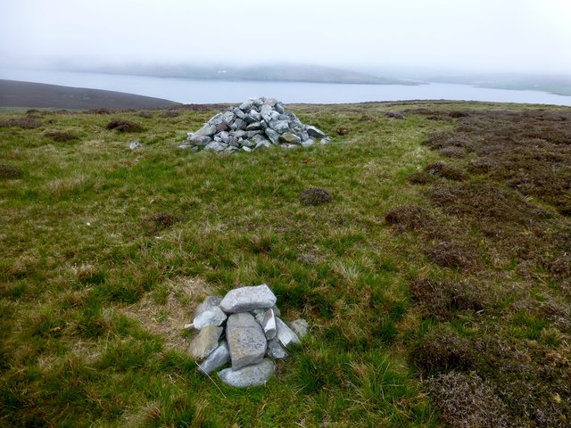
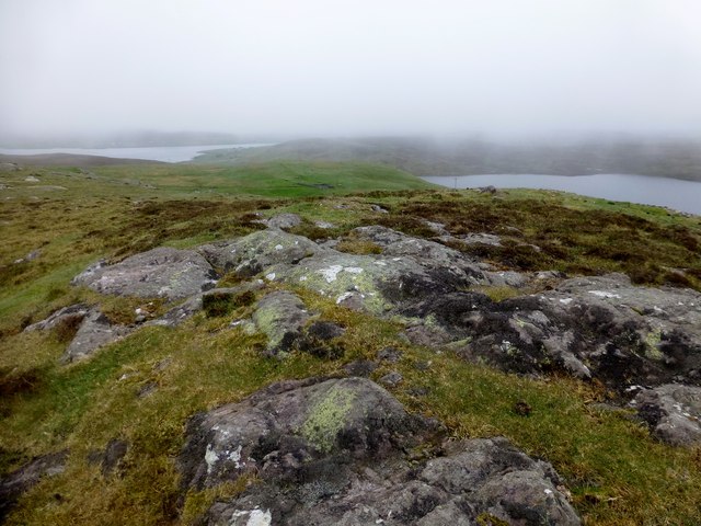
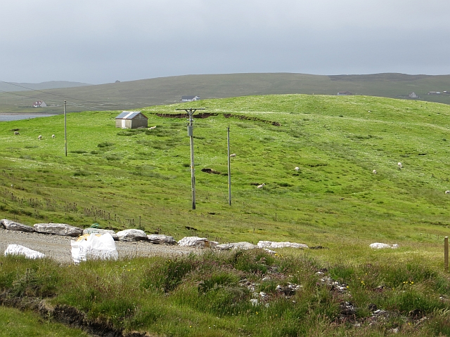
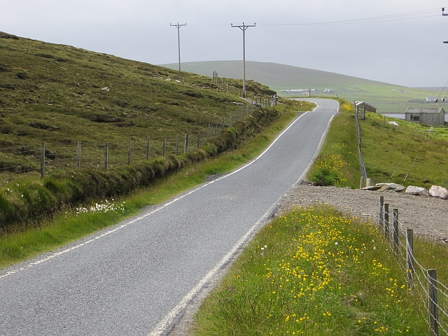
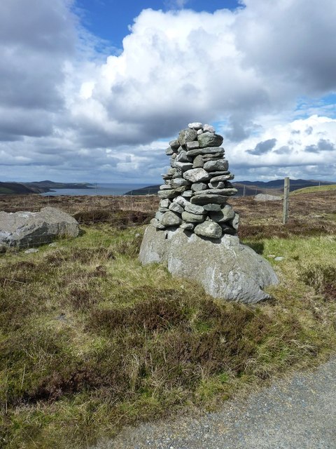
Bight of Braewick Images

Images are sourced within 2km of 60.306107/-1.3897387 or Grid Reference HU3358. Thanks to Geograph Open Source API. All images are credited.

Slyde, East Burrafirth House at the end of the road, above Aith Voe.
Slyde, East Burrafirth
House at the end of the road, above Aith Voe.
Sign at East Burrafirth Managing habitats for biodiversity, the sign proclaims.
Sign at East Burrafirth
Managing habitats for biodiversity, the sign proclaims.
East-the-Voe, Aith Looking towards Muckle Roe.
East-the-Voe, Aith
Looking towards Muckle Roe.
The hoverfly Xylota segnis, East-the-voe, Aith Possibly a recent colonist, the larvae of this hoverfly feed in dead wood, and the species is now fairly widespread in areas with even just a few mature trees on Shetland Mainland.
The hoverfly Xylota segnis, East-the-voe, Aith
Possibly a recent colonist, the larvae of this hoverfly feed in dead wood, and the species is now fairly widespread in areas with even just a few mature trees on Shetland Mainland.
The hoverfly Eristalis pertinax, East-the-voe, Aith A common and widespread species in Shetland.
The hoverfly Eristalis pertinax, East-the-voe, Aith
A common and widespread species in Shetland.
A Polietes fly, East-the-Voe, Aith One of the houseflies (Muscidae).
A Polietes fly, East-the-Voe, Aith
One of the houseflies (Muscidae).
The hoverfly Rhingia campestris, East-the-voe, Aith A common species; covered in pollen and sitting on a Fuchsia flower.
The hoverfly Rhingia campestris, East-the-voe, Aith
A common species; covered in pollen and sitting on a Fuchsia flower.
Gunnie's Grave A chambered cairn known as Gunnie's Grave on the north side of the Loch of Vaara.
Gunnie's Grave
A chambered cairn known as Gunnie's Grave on the north side of the Loch of Vaara.
Langstein Cairn Another ruined cairn within this grid square. This one is listed as being called "The Langstein" in Canmore. The upright stone stands about 5 feet high with the fallen one slightly longer at over 7 feet.
Langstein Cairn
Another ruined cairn within this grid square. This one is listed as being called "The Langstein" in Canmore. The upright stone stands about 5 feet high with the fallen one slightly longer at over 7 feet.
Crofts overlooking East Burra Firth With Aith Voe just visible in the distance.
Crofts overlooking East Burra Firth
With Aith Voe just visible in the distance.
The Dudd Bagged with Tricky Speirs.
Name: The Dudd
Hill number: 103940
Height: 90m / 295ft
Area: 22: Shetland Islands
Class: 0
Grid ref: HU336563 (est)
Drop: 41m
Col: 49m
The Dudd
Bagged with Tricky Speirs. Name: The Dudd Hill number: 103940 Height: 90m / 295ft Area: 22: Shetland Islands Class: 0 Grid ref: HU336563 (est) Drop: 41m Col: 49m
Farm Shed Near Aith We parked on the minor road near the farm shed to climb the TuMP called The Dudd.
Farm Shed Near Aith
We parked on the minor road near the farm shed to climb the TuMP called The Dudd.
Hill of Braewick Bagged with Tricky Speirs.
Name: Hill of Braewick
Hill number: 104020
Height: 63m / 207ft
Area: 22: Shetland Islands
Class: 0
Grid ref: HU335577 (est)
Drop: 32m
Col: 31m
Hill of Braewick
Bagged with Tricky Speirs. Name: Hill of Braewick Hill number: 104020 Height: 63m / 207ft Area: 22: Shetland Islands Class: 0 Grid ref: HU335577 (est) Drop: 32m Col: 31m
Aith Ness Bagged with Tricky Speirs.
Name: Aith Ness
Hill number: 103976
Height: 78m / 256ft
Area: 22: Shetland Islands
Class: 0
Grid ref: HU327590 (est)
Drop: 65m
Col: 13m
Aith Ness
Bagged with Tricky Speirs. Name: Aith Ness Hill number: 103976 Height: 78m / 256ft Area: 22: Shetland Islands Class: 0 Grid ref: HU327590 (est) Drop: 65m Col: 13m
Grazing above East Burra Firth
B9071 Above Aith Voe.
B9071
Above Aith Voe.
Enigmatic cairn A prominent cairn built on top of a natural boulder high above the Aith Voe. I have failed to find what its significance may be,
Enigmatic cairn
A prominent cairn built on top of a natural boulder high above the Aith Voe. I have failed to find what its significance may be,
Above Aith Voe The headland central in the photograph is Selie Ness and beyond that is the uninhabited island of Papa Little.
Above Aith Voe
The headland central in the photograph is Selie Ness and beyond that is the uninhabited island of Papa Little.
Show me another place!

Bight of Braewick is located at Grid Ref: HU3358 (Lat: 60.306107, Lng: -1.3897387)

Unitary Authority: Shetland Islands

Police Authority: Highlands and Islands

What 3 Words

///vague.rival.denim. Near Aith, Shetland Islands

Nearby Locations

Bight of Braewick Braewick

Related Wikis

Braewick, Sandsting

Braewick is a settlement on the west Mainland of Shetland, Scotland. Braewick is on the western shore of Aith Voe and 1.2 mi (2 km) north of Aith itself...

Aith

Aith, (Shetland dialect: Eid, Old Norse: EiĆ°, meaning Isthmus, cf Eday), is a village on the Northern coast of the West Shetland Mainland, Scotland at...

Clousta

Clousta is a hamlet on Mainaland, in the island's west, Shetland, Scotland. Approximately seventy people live here, many of whom are commuters, but local...

Papa Little

Papa Little (Scots: Papa Little; Old Norse: Papey Litla, meaning "the little island of the priests") is an island in St Magnus Bay, Shetland, Scotland...

Nearby Amenities

Located within 500m of 60.306107,-1.3897387
Power: pole
Lat/Long: 60.3086917/-1.3959739
Power: pole
Lat/Long: 60.3080828/-1.3952853
Power: pole
Lat/Long: 60.3076605/-1.3948394
Power: pole
Lat/Long: 60.3070653/-1.3942086
Power: pole
Lat/Long: 60.3063579/-1.3934506
Power: pole
Lat/Long: 60.3055006/-1.392531
Power: pole
Lat/Long: 60.3048126/-1.3917823
Power: pole
Lat/Long: 60.3042323/-1.391445
Power: pole
Lat/Long: 60.303645/-1.3910984
Power: pole
Lat/Long: 60.3031265/-1.389973
Power: pole
Lat/Long: 60.3025884/-1.3893838
Power: pole
Lat/Long: 60.3018684/-1.388612
Power: pole
Lat/Long: 60.3084113/-1.396711
Power: pole
Lat/Long: 60.3082396/-1.3959855
Power: pole
Lat/Long: 60.3079489/-1.3946776
Power: pole
Lat/Long: 60.3077841/-1.3939659
Power: pole
Lat/Long: 60.3076296/-1.3932866
Power: pole
Lat/Long: 60.3074533/-1.3925264
Power: pole
Lat/Long: 60.3023366/-1.3888316
Power: pole
Lat/Long: 60.3040193/-1.3916945
Power: pole
Lat/Long: 60.3043925/-1.3922791
Power: pole
Lat/Long: 60.3047645/-1.3928868
Power: pole
Lat/Long: 60.3021156/-1.3883278
The data included in this document is from www.openstreetmap.org. The data is made available under ODbL.

Have you been to Bight of Braewick?

Leave your review of Bight of Braewick below (or comments, questions and feedback).