Scora Water
Lake, Pool, Pond, Freshwater Marsh in Shetland
Scotland
Scora Water

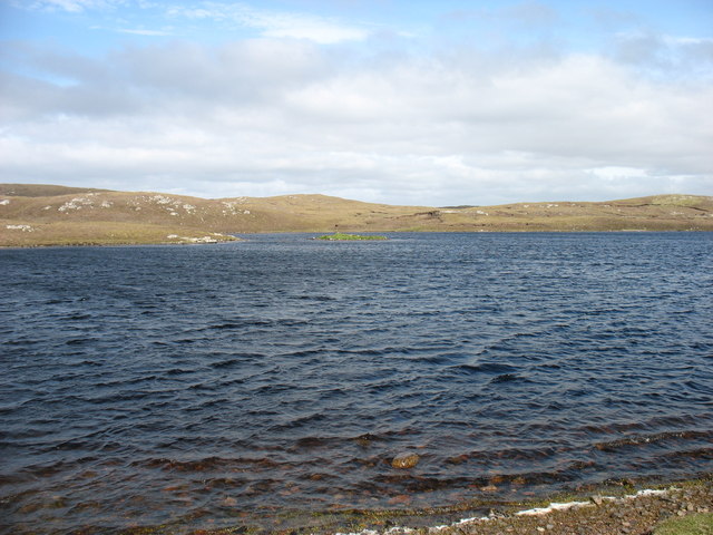
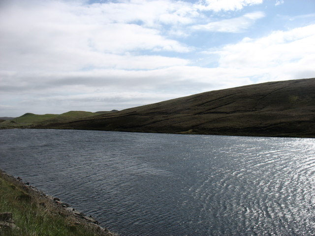
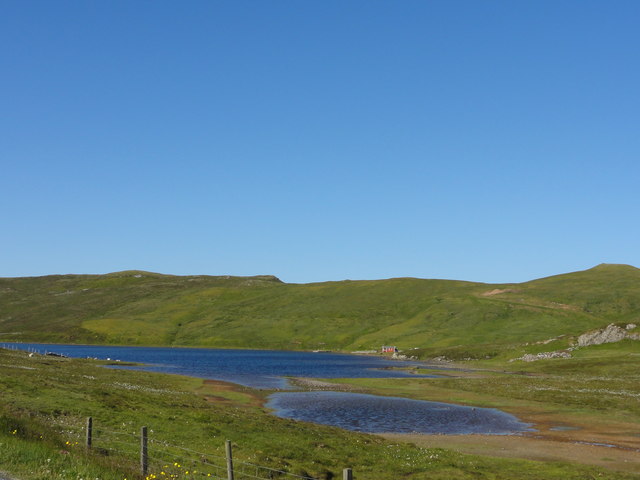
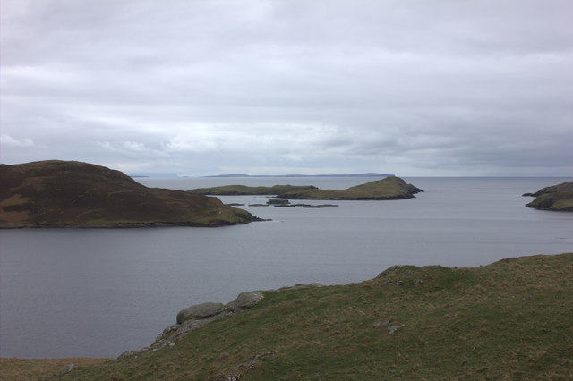
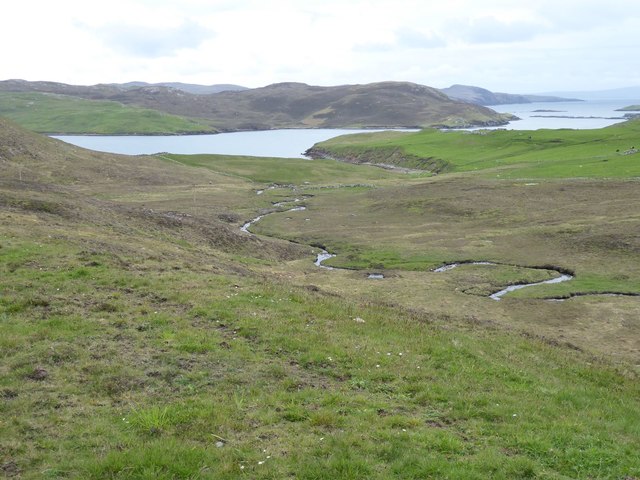
Scora Water is a freshwater loch located in the Shetland Islands, Scotland. It is situated in the central part of the island of Mainland, approximately 10 miles southwest of the town of Lerwick. The loch, also known as a lake, covers an area of approximately 1.5 square kilometers.
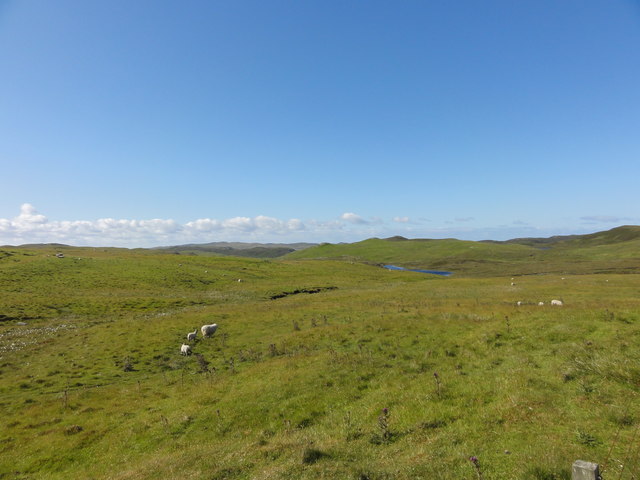
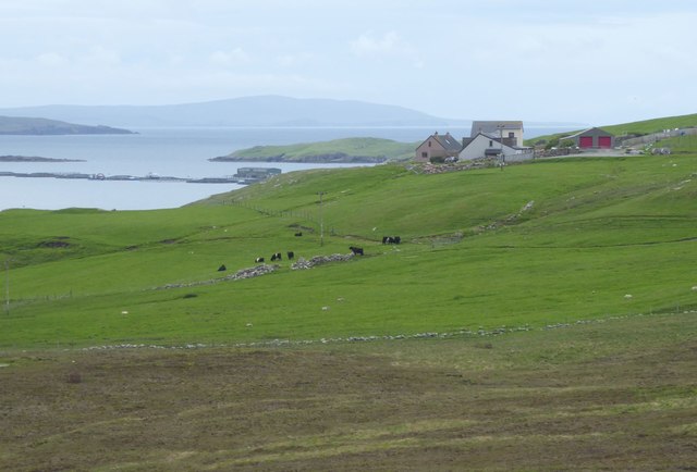
Scora Water is surrounded by rolling hills and picturesque landscapes, making it a popular spot for both locals and tourists seeking tranquility and natural beauty. The loch's crystal-clear waters are fed by numerous small streams and springs, ensuring a constant flow of fresh, clean water.
The surrounding area of Scora Water is rich in biodiversity, with a variety of flora and fauna calling it home. The loch is home to a range of freshwater fish species, including brown trout, Arctic char, and pike, making it a popular destination for anglers. It is also a haven for birdwatchers, as the loch attracts a wide array of waterfowl, including swans, ducks, and geese.
The shores of Scora Water are mostly covered in grasses and reeds, creating a lush habitat for various amphibians, insects, and small mammals. This diverse ecosystem supports a thriving population of dragonflies, damselflies, and butterflies, adding to the natural beauty of the area.
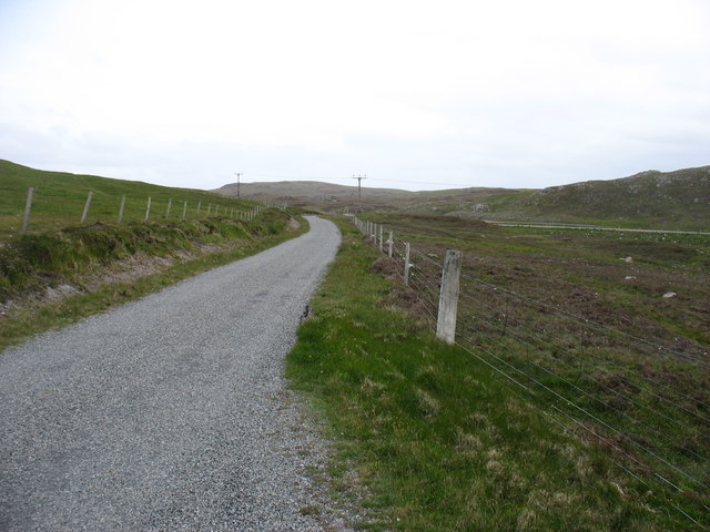
Scora Water offers opportunities for outdoor activities such as fishing, boating, and birdwatching. The tranquil surroundings and stunning views make it an ideal location for nature enthusiasts and those seeking a peaceful retreat in the heart of the Shetland Islands.
If you have any feedback on the listing, please let us know in the comments section below.
Scora Water Images
Images are sourced within 2km of 60.429467/-1.389954 or Grid Reference HU3371. Thanks to Geograph Open Source API. All images are credited.


Scora Water is located at Grid Ref: HU3371 (Lat: 60.429467, Lng: -1.389954)
Unitary Authority: Shetland Islands
Police Authority: Highlands and Islands
What 3 Words
///operation.corded.head. Near Brae, Shetland Islands
Nearby Locations
Related Wikis

Sullom
Sullom is a village on the Shetland peninsula of Northmavine, between Haggrister and Bardister. It lies on the northwest side of Sullom Voe, to which it...
Gunnister
Gunnister is a small 'abandoned' village at the North-West Mainland in Shetland, Scotland. It is most commonly known for the Gunnister Man - the remains...

Mavis Grind
Mavis Grind (Old Norse: Mæfeiðs grind or Mæveiðs grind, meaning "gate of the narrow isthmus") is a narrow isthmus joining the Northmavine peninsula to...
Punds Water
Punds Water is a freshwater loch near Mangaster in Northmavine, Shetland. It also gives its name to a nearby Neolithic heel-shaped cairn. == Heel-shaped... ==

Brae
"Brae" is also the Lowland Scots language word for the slope or brow of a hill.Brae (Old Norse: Breiðeið, meaning "the wide isthmus") is a village on the...

Sullom Voe
Sullom Voe is an inlet of the North Sea between the parishes of Delting and Northmavine in Shetland, Scotland. It is a location of the Sullom Voe oil terminal...
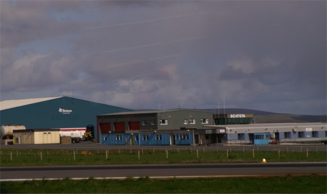
Scatsta Airport
Scatsta Airport (IATA: SCS, ICAO: EGPM), was a commercial airport on the island of Mainland, Shetland in Scotland located 17 nautical miles (31 km; 20...
Busta Voe
Busta Voe, (HU665350), in the north central Mainland, Shetland, is a sea inlet lying between the village of Brae and the island of Muckle Roe. At the head...
Nearby Amenities
Located within 500m of 60.429467,-1.389954Have you been to Scora Water?
Leave your review of Scora Water below (or comments, questions and feedback).