Sinna Water
Lake, Pool, Pond, Freshwater Marsh in Shetland
Scotland
Sinna Water

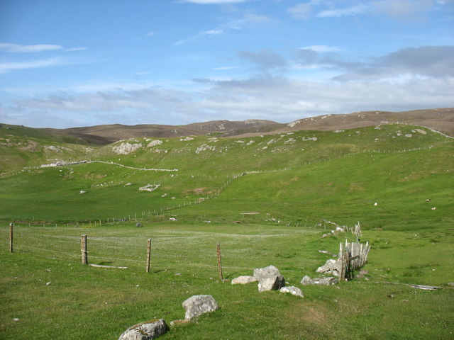
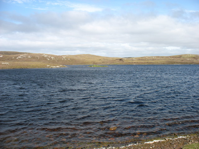
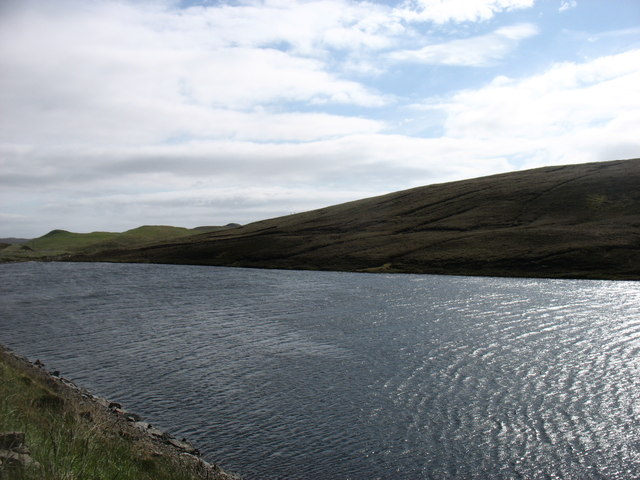
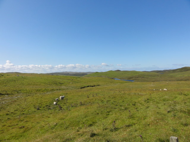
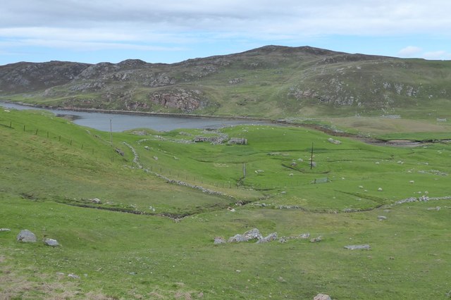
Sinna Water is a picturesque freshwater marsh located on the Shetland Islands, Scotland. It is classified as a lake, although its size is relatively small, spanning approximately 4 hectares. The waterbody is surrounded by lush greenery and rolling hills, making it a popular destination for nature enthusiasts and birdwatchers.
The water in Sinna Water is predominantly supplied by rainfall and natural springs, ensuring a constant flow of freshwater throughout the year. Due to its freshwater source and limited human activity, the water remains clean and clear, providing a suitable habitat for various aquatic organisms.
The marshland surrounding Sinna Water is rich in biodiversity, hosting a diverse range of plant and animal species. The water's edge is adorned with reeds, rushes, and other wetland plants, providing a sheltered environment for amphibians and insects. Bird species such as common teal, mallards, and wigeons can be spotted gliding across the water's surface, while the surrounding vegetation serves as nesting grounds for species like reed buntings and sedge warblers.
Sinna Water also plays an essential role in the local ecosystem, acting as a natural filter for water runoff and reducing the risk of flooding in the area. The marshland acts as a sponge, absorbing excess water during periods of heavy rainfall and slowly releasing it back into the surrounding environment.
With its tranquil atmosphere and abundant wildlife, Sinna Water offers visitors a peaceful retreat and a chance to connect with nature. Whether it's observing the diverse array of plant and animal life or simply enjoying the serene beauty of the surroundings, Sinna Water is a true gem for nature lovers.
If you have any feedback on the listing, please let us know in the comments section below.
Sinna Water Images
Images are sourced within 2km of 60.446982/-1.3952052 or Grid Reference HU3373. Thanks to Geograph Open Source API. All images are credited.


Sinna Water is located at Grid Ref: HU3373 (Lat: 60.446982, Lng: -1.3952052)
Unitary Authority: Shetland Islands
Police Authority: Highlands and Islands
What 3 Words
///exhaling.fancied.reclining. Near Brae, Shetland Islands
Nearby Locations
Related Wikis

Gunnister
Gunnister is a small 'abandoned' village at the North-West Mainland in Shetland, Scotland. It is most commonly known for the Gunnister Man - the remains...
Punds Water
Punds Water is a freshwater loch near Mangaster in Northmavine, Shetland. It also gives its name to a nearby Neolithic heel-shaped cairn. == Heel-shaped... ==
Sullom
Sullom is a village on the Shetland peninsula of Northmavine, between Haggrister and Bardister. It lies on the northwest side of Sullom Voe, to which it...

Sullom Voe
Sullom Voe is an inlet of the North Sea between the parishes of Delting and Northmavine in Shetland, Scotland. It is a location of the Sullom Voe oil terminal...
Nearby Amenities
Located within 500m of 60.446982,-1.3952052Have you been to Sinna Water?
Leave your review of Sinna Water below (or comments, questions and feedback).