Johnnie Mann's Loch
Lake, Pool, Pond, Freshwater Marsh in Shetland
Scotland
Johnnie Mann's Loch

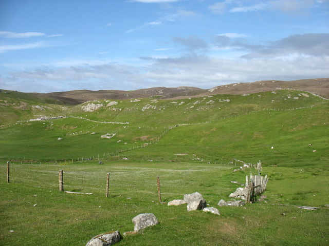
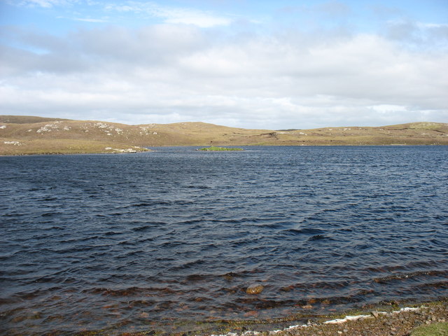
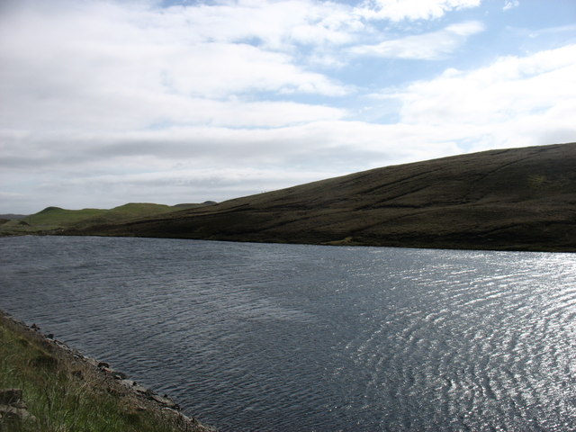
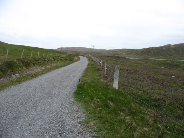
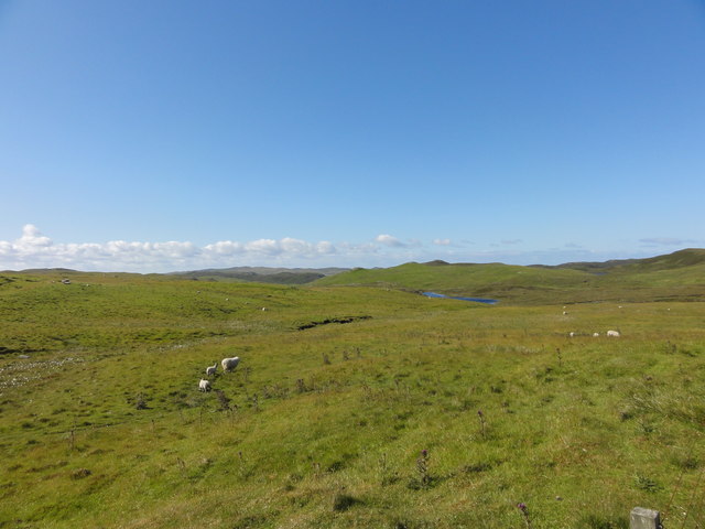
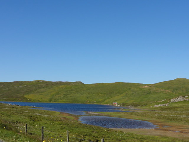
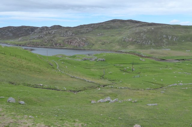
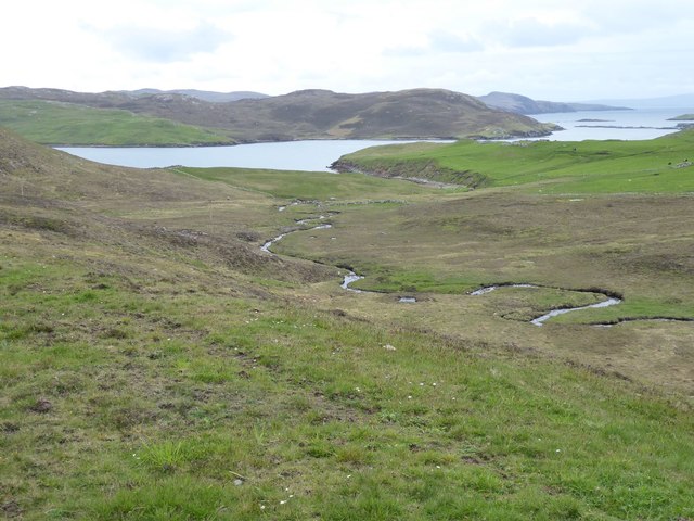
Johnnie Mann's Loch, located in Shetland, is a picturesque freshwater marsh situated amidst the stunning natural beauty of the Scottish landscape. Spanning an area of approximately 10 acres, this tranquil loch offers a serene and serene environment for visitors to immerse themselves in nature's wonders.
Surrounded by lush vegetation and rolling hills, Johnnie Mann's Loch is a haven for a diverse range of flora and fauna. The still waters of the loch provide a perfect habitat for various species of waterfowl, including ducks, swans, and herons, making it a popular spot for birdwatching enthusiasts. The surrounding marshland supports an abundance of plant life, including reeds, sedges, and water lilies, adding to the loch's natural charm.
The loch itself is relatively shallow, with depths ranging from a few inches to a couple of feet. Its crystal-clear waters offer glimpses of the underwater world, where schools of small fish and aquatic insects thrive. The loch is an ideal spot for fishing enthusiasts, who can try their luck at catching brown trout, which are known to inhabit its depths.
Johnnie Mann's Loch also provides a tranquil setting for relaxation and contemplation. Visitors can stroll along the gently sloping banks, enjoying the peaceful ambiance and stunning views of the surrounding landscape. The loch's calm waters also make it a popular spot for kayaking and canoeing, allowing visitors to explore its hidden corners and admire the natural beauty up close.
Overall, Johnnie Mann's Loch in Shetland offers a serene and idyllic retreat for nature lovers, providing a diverse range of flora and fauna, peaceful waters, and breathtaking views, making it a must-visit destination for those seeking solace in the lap of nature.
If you have any feedback on the listing, please let us know in the comments section below.
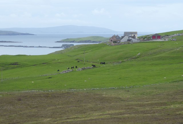
Johnnie Mann's Loch Images
Images are sourced within 2km of 60.437856/-1.3985179 or Grid Reference HU3372. Thanks to Geograph Open Source API. All images are credited.


Johnnie Mann's Loch is located at Grid Ref: HU3372 (Lat: 60.437856, Lng: -1.3985179)
Unitary Authority: Shetland Islands
Police Authority: Highlands and Islands
What 3 Words
///fails.paddocks.bumps. Near Brae, Shetland Islands
Nearby Locations
Related Wikis

Gunnister
Gunnister is a small 'abandoned' village at the North-West Mainland in Shetland, Scotland. It is most commonly known for the Gunnister Man - the remains...
Sullom
Sullom is a village on the Shetland peninsula of Northmavine, between Haggrister and Bardister. It lies on the northwest side of Sullom Voe, to which it...
Punds Water
Punds Water is a freshwater loch near Mangaster in Northmavine, Shetland. It also gives its name to a nearby Neolithic heel-shaped cairn. == Heel-shaped... ==

Mavis Grind
Mavis Grind (Old Norse: Mæfeiðs grind or Mæveiðs grind, meaning "gate of the narrow isthmus") is a narrow isthmus joining the Northmavine peninsula to...
Nearby Amenities
Located within 500m of 60.437856,-1.3985179Have you been to Johnnie Mann's Loch?
Leave your review of Johnnie Mann's Loch below (or comments, questions and feedback).