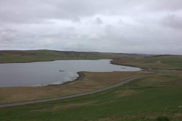
Mill Loch
Lake, Pool, Pond, Freshwater Marsh in Shetland
Scotland
Mill Loch
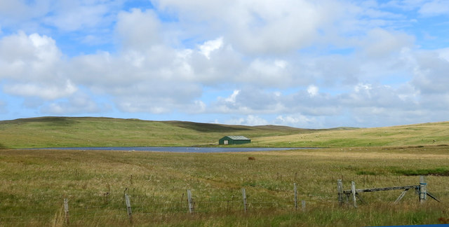
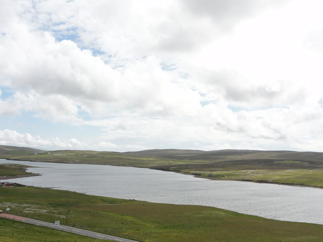
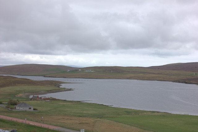
Mill Loch is a picturesque freshwater loch located on the island of Shetland, Scotland. Situated in the parish of Sandwick, it covers an area of approximately 1.4 hectares and is surrounded by serene rolling hills and heather-covered moorland.
The loch has a relatively shallow depth, with an average of around 2 meters. It is fed by a small stream that originates from the nearby hills, ensuring a constant flow of freshwater into the loch. The water is exceptionally clear and provides a habitat for various aquatic organisms, including fish, amphibians, and invertebrates.
Surrounding the loch is a diverse range of plant species, forming a lush freshwater marsh. This marshland is home to a myriad of wildlife, including waterfowl such as ducks, swans, and geese, which frequently visit the loch to feed and breed. The marsh also attracts a variety of wading birds, which can be observed feeding on the abundant invertebrates found in the shallow waters.
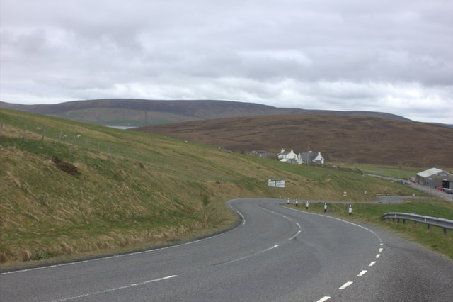
Mill Loch is a popular spot for nature enthusiasts and birdwatchers due to its rich biodiversity and tranquil ambiance. The surrounding area offers several walking trails, allowing visitors to explore the loch and its surroundings. Fishing is also permitted in the loch, with trout being the most common catch.
Overall, Mill Loch is a haven of natural beauty and serves as an important habitat for both flora and fauna. Its peaceful atmosphere and stunning surroundings make it a must-visit destination for those seeking a connection with nature in the heart of Shetland.
If you have any feedback on the listing, please let us know in the comments section below.
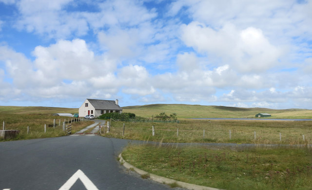
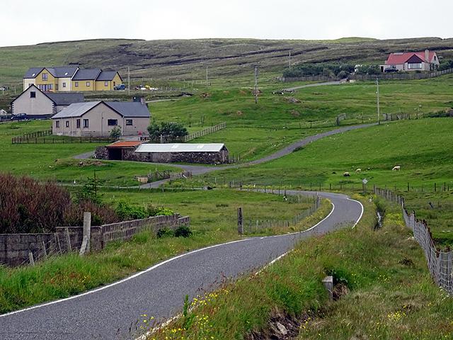
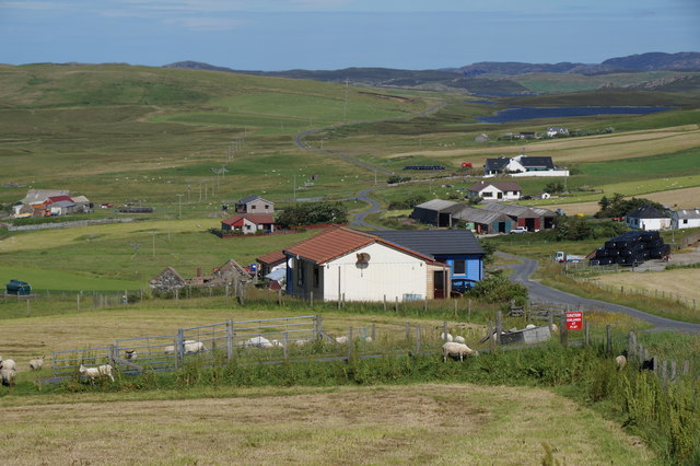
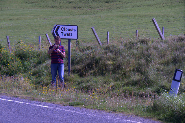
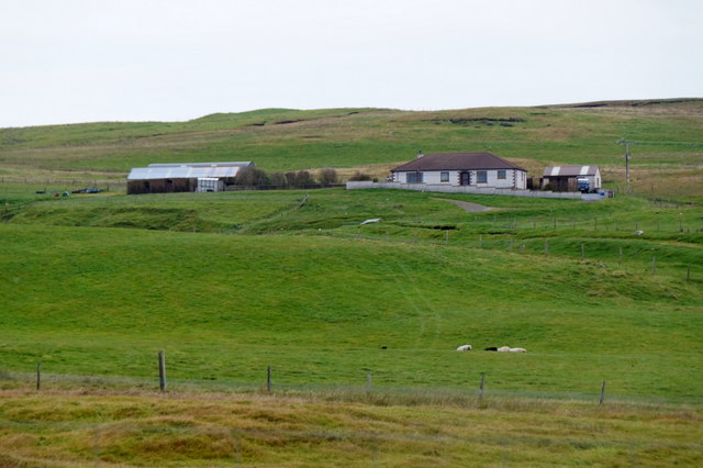
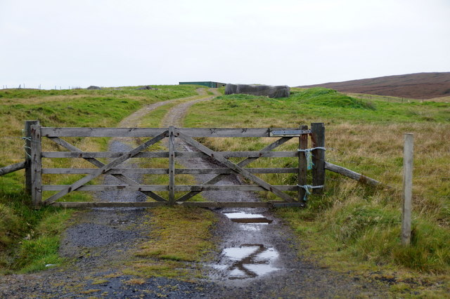
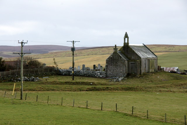
Mill Loch Images
Images are sourced within 2km of 60.248738/-1.4211354 or Grid Reference HU3251. Thanks to Geograph Open Source API. All images are credited.


Mill Loch is located at Grid Ref: HU3251 (Lat: 60.248738, Lng: -1.4211354)
Unitary Authority: Shetland Islands
Police Authority: Highlands and Islands
What 3 Words
///choppers.nerd.fantastic. Near Aith, Shetland Islands
Nearby Locations
Related Wikis

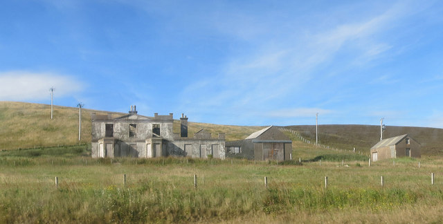
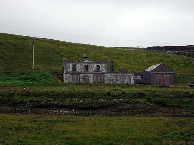
Park Hall, Shetland
Park Hall is a derelict laird's house situated west of the village of Bixter, in the parish of Sandsting on the Mainland of Shetland, Scotland. It has...
Bixter
Bixter is a village on the west side of the Shetland Islands, located more than 160 km (99 mi) off the north coast of mainland Scotland. Bixter is a group...
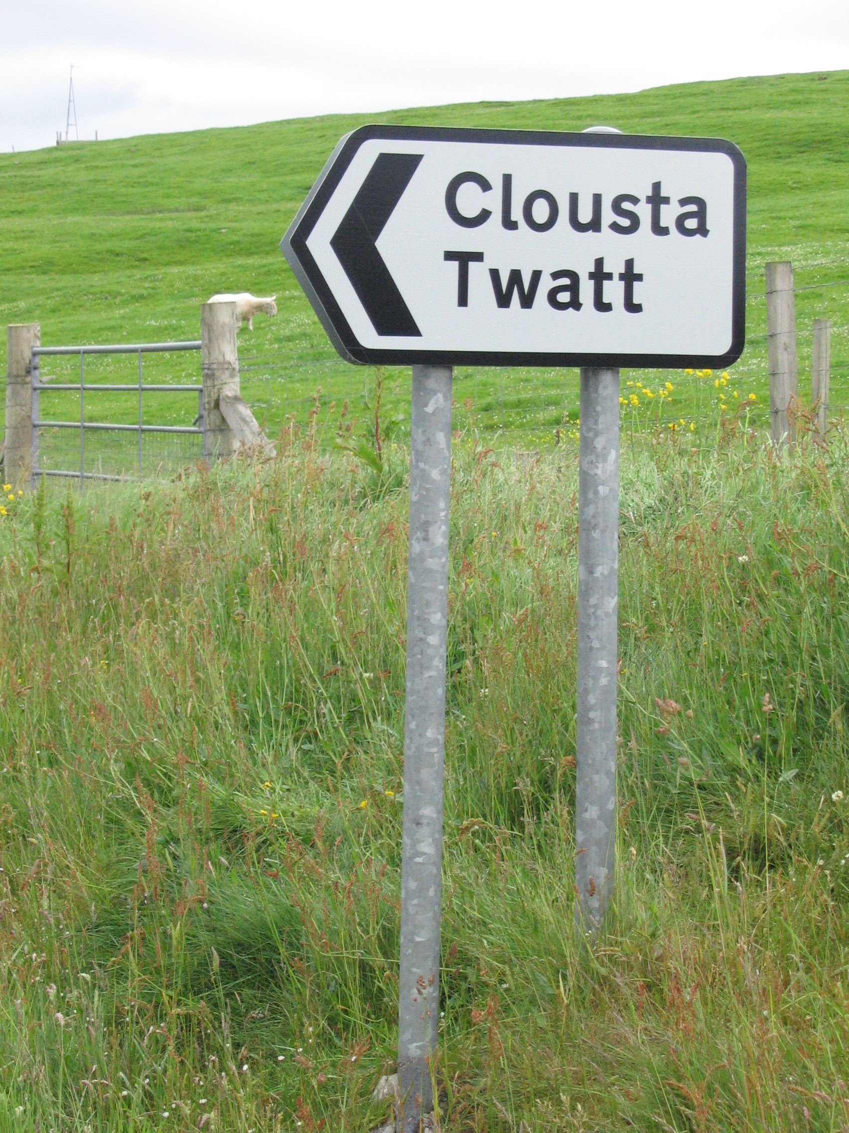
Twatt, Shetland
Twatt is a settlement in the Shetland Islands of Scotland. It is located on the Shetland Mainland on a minor road that leads from the A971 road to Clousta...

Westerfield, Shetland
Westerfield is a coastal community on Mainland, in Shetland, Scotland. The community is within the parish of Sandsting. It lies to the west of Tresta on...
Related Videos


Last to leave the park wins!
Make sure you like the video and subscribe to Oliveamazing, tango the dog, snowy the cat and olive shorts that would mean the ...
Nearby Amenities
Located within 500m of 60.248738,-1.4211354Have you been to Mill Loch?
Leave your review of Mill Loch below (or comments, questions and feedback).