Barbrook Reservoir

Lake, Pool, Pond, Freshwater Marsh in Derbyshire North East Derbyshire

England

Barbrook Reservoir

Bridleway below Hewetts Bank Following a wooded valley down to Car Road.
Bridleway below Hewetts Bank Credit: Bill Boaden

Barbrook Reservoir, located in Derbyshire, is a picturesque freshwater body encompassing a total area of approximately 32 hectares. This man-made reservoir was constructed in the early 20th century and serves as a vital water source for the surrounding area. The reservoir is situated near the village of Barbrook, within the beautiful Peak District National Park.

Barbrook Reservoir is primarily fed by the Bar Brook, a small river originating from the moorland surrounding the area. The water within the reservoir is predominantly fresh, making it an ideal habitat for various aquatic species. The reservoir's depth varies, with some areas reaching depths of up to 15 meters.

Surrounded by lush greenery and rolling hills, Barbrook Reservoir offers a serene and tranquil setting for visitors to enjoy. The reservoir attracts a diverse range of wildlife, including waterfowl, such as ducks and swans, which can often be seen gracefully gliding across the water. The surrounding areas are also home to an array of plant species, adding to the reservoir's natural charm.

Barbrook Reservoir provides opportunities for recreational activities such as fishing, boating, and birdwatching. Fishing enthusiasts can try their luck at catching various species, including brown trout and rainbow trout, which are regularly stocked in the reservoir. The tranquil atmosphere and scenic surroundings make it a popular spot for birdwatchers, who can observe a variety of bird species in their natural habitat.

In conclusion, Barbrook Reservoir is a beautiful freshwater body nestled in the picturesque Derbyshire countryside. With its diverse wildlife, recreational activities, and stunning surroundings, it offers a peaceful retreat for nature enthusiasts and visitors alike.

If you have any feedback on the listing, please let us know in the comments section below.

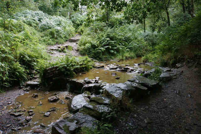
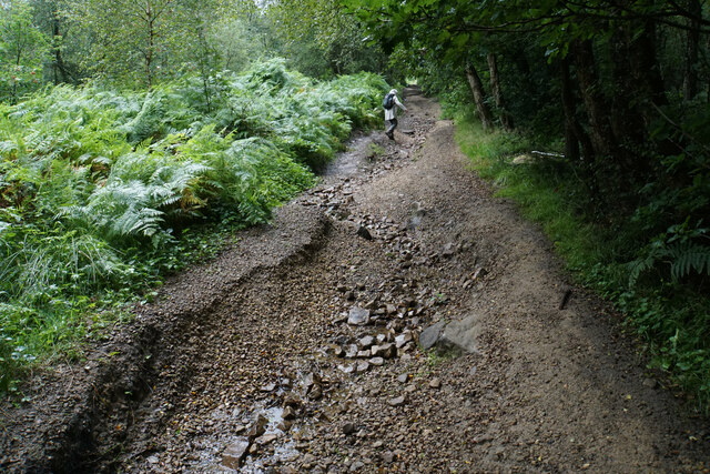
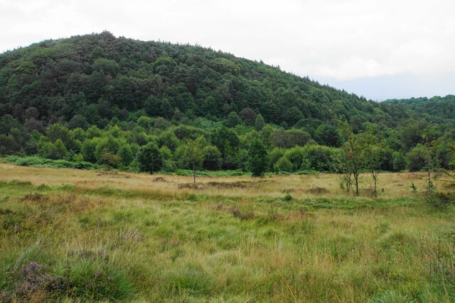
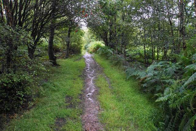
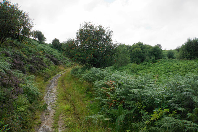
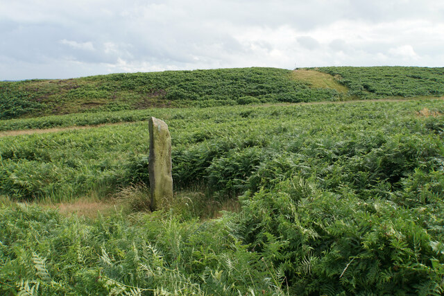
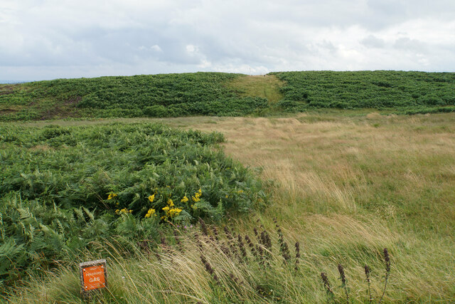
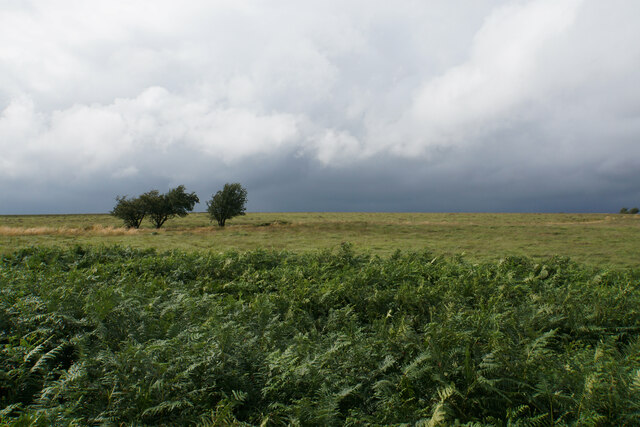
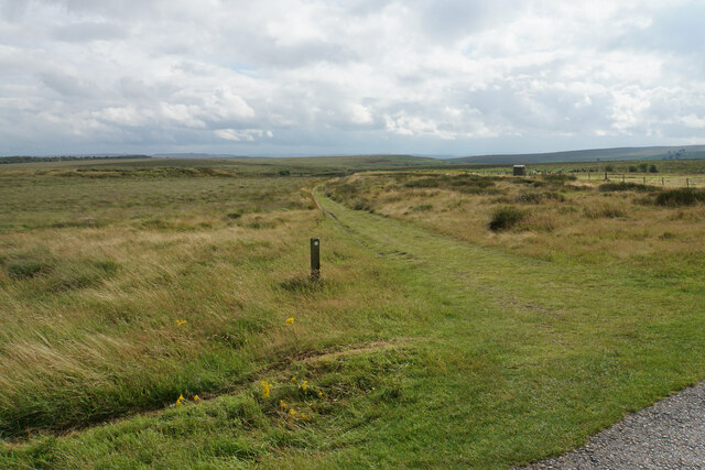
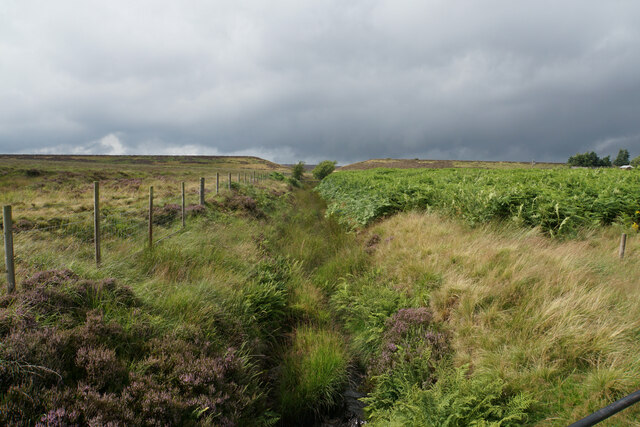
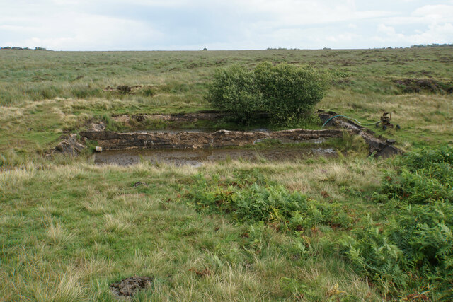
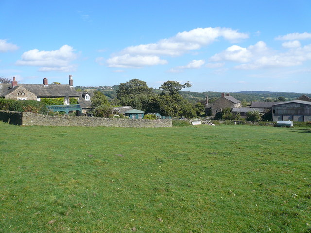
Barbrook Reservoir Images

Images are sourced within 2km of 53.289874/-1.5827501 or Grid Reference SK2777. Thanks to Geograph Open Source API. All images are credited.

Bridleway below Hewetts Bank Following a wooded valley down to Car Road.
Bridleway below Hewetts Bank
Following a wooded valley down to Car Road.
Bridleway crossing a brook The brook flows down to Millthorpe Brook. It is not named on the OS map, but I have seen it referred to as Blake Brook or Hewetts Brook.
Bridleway crossing a brook
The brook flows down to Millthorpe Brook. It is not named on the OS map, but I have seen it referred to as Blake Brook or Hewetts Brook.
Car Road A bridleway linking the A621 with Fox Lane. The route is showing significant erosion damage from water flowing down it.
Car Road
A bridleway linking the A621 with Fox Lane. The route is showing significant erosion damage from water flowing down it.
Smeekley Wood Seen across the valley of Millthorpe Brook.
Smeekley Wood
Seen across the valley of Millthorpe Brook.
Path up to Greaves's Piece Part of a steady climb from Millthorpe Brook up to the A621 near the top of the moor. This is a brief section which is not being encroached upon by bracken.
Path up to Greaves's Piece
Part of a steady climb from Millthorpe Brook up to the A621 near the top of the moor. This is a brief section which is not being encroached upon by bracken.
Path on Greaves's Piece Approaching the top of the moor.
Path on Greaves's Piece
Approaching the top of the moor.
Guide stoop on Big Moor On this face is a pointer to the right but the words are not possible to read. It refers to something Way.
Guide stoop on Big Moor
On this face is a pointer to the right but the words are not possible to read. It refers to something Way.
Route of a gas pipeline This one has made a noticeable mark across the moor.
Route of a gas pipeline
This one has made a noticeable mark across the moor.
Moorland on Big Moor Passing rain showers to the north make this view more stark.
Moorland on Big Moor
Passing rain showers to the north make this view more stark.
Track to the Barbrook valley Here it leaves the former waterworks service road for Barbrook Reservoir which is now decommissioned.
Track to the Barbrook valley
Here it leaves the former waterworks service road for Barbrook Reservoir which is now decommissioned.
Bar Brook The channel leaving the former Barbrook Reservoir. You can see the dam wall ahead with the v-shaped cut in it when it was decommissioned.
Bar Brook
The channel leaving the former Barbrook Reservoir. You can see the dam wall ahead with the v-shaped cut in it when it was decommissioned.
Tanks by Bar Brook These may have been silt traps below the former Barbrook Reservoir.
Tanks by Bar Brook
These may have been silt traps below the former Barbrook Reservoir.
Track in the Barbrook valley Bar Brook is beginning to cut a valley into Big Moor.
Track in the Barbrook valley
Bar Brook is beginning to cut a valley into Big Moor.
Bar Brook Looking upstream in the valley above Little Barbrook Reservoir.
Bar Brook
Looking upstream in the valley above Little Barbrook Reservoir.
Little Barbrook Reservoir A serene setting on Big Moor. The dam and outflow are ahead.
Little Barbrook Reservoir
A serene setting on Big Moor. The dam and outflow are ahead.
Track by Bar Brook Looking up the valley. Little Barbrook Reservoir is behind the trees ahead.
Track by Bar Brook
Looking up the valley. Little Barbrook Reservoir is behind the trees ahead.
Companion stone at Deadshaw Sick Part of a series of 12 artistic stones placed in 2010, as companions to nearby guide stoops. Bar Brook passes below this site.
Companion stone at Deadshaw Sick
Part of a series of 12 artistic stones placed in 2010, as companions to nearby guide stoops. Bar Brook passes below this site.
Cairn near Barbrook 1 Stone Circle Slightly further up the hill from the stone circle, and its original purpose is not known.
Cairn near Barbrook 1 Stone Circle
Slightly further up the hill from the stone circle, and its original purpose is not known.
Show me another place!

Barbrook Reservoir is located at Grid Ref: SK2777 (Lat: 53.289874, Lng: -1.5827501)

Administrative County: Derbyshire

District: North East Derbyshire

Police Authority: Derbyshire

What 3 Words

///central.weeded.morphing. Near Baslow, Derbyshire

Nearby Locations

Barbrook Reservoir

Related Wikis

Nearby Amenities

Located within 500m of 53.289874,-1.5827501
Car Top
Natural: peak
Source: npe
Lat/Long: 53.2875718/-1.5779154
Barrier: stile
Lat/Long: 53.2885954/-1.5811858
The data included in this document is from www.openstreetmap.org. The data is made available under ODbL.

Have you been to Barbrook Reservoir?

Leave your review of Barbrook Reservoir below (or comments, questions and feedback).