Helga Water
Lake, Pool, Pond, Freshwater Marsh in Shetland
Scotland
Helga Water
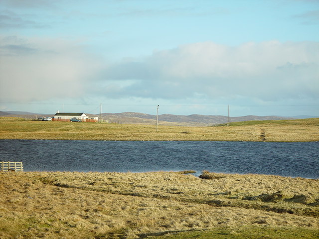
Helga Water is a picturesque freshwater loch located in the Shetland Islands, Scotland. Nestled amidst stunning natural surroundings, it covers an area of approximately 0.5 square kilometers. Helga Water is often referred to as a lake, pool, pond, or freshwater marsh, owing to its diverse characteristics.
The loch is renowned for its crystal-clear waters, which are a result of the surrounding peatlands that act as natural filters. This creates a habitat conducive to various aquatic organisms, including fish, amphibians, and invertebrates. The water body also attracts a wide range of bird species, making it a hot spot for birdwatching enthusiasts.
Surrounded by lush greenery, Helga Water offers a tranquil and idyllic setting for nature lovers. The area is rich in plant life, with an abundance of reeds, sedges, and water lilies lining the shores. These plants not only add to the aesthetic appeal but also provide shelter and food for the diverse array of wildlife found in and around the loch.
Visitors to Helga Water can explore the area on foot and take advantage of the well-maintained footpaths that wind their way around the water body. The gentle slopes and undulating terrain make it an ideal location for leisurely walks and picnics. Additionally, the loch provides opportunities for fishing, with brown trout being a common catch.
Overall, Helga Water in the Shetland Islands is a stunning freshwater loch that offers a haven for both wildlife and those seeking solace in nature. Its diverse ecosystem, pristine waters, and scenic surroundings make it a must-visit destination for anyone exploring the region.
If you have any feedback on the listing, please let us know in the comments section below.
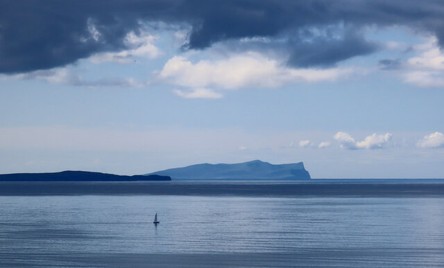
Helga Water Images
Images are sourced within 2km of 60.485781/-1.5096798 or Grid Reference HU2778. Thanks to Geograph Open Source API. All images are credited.
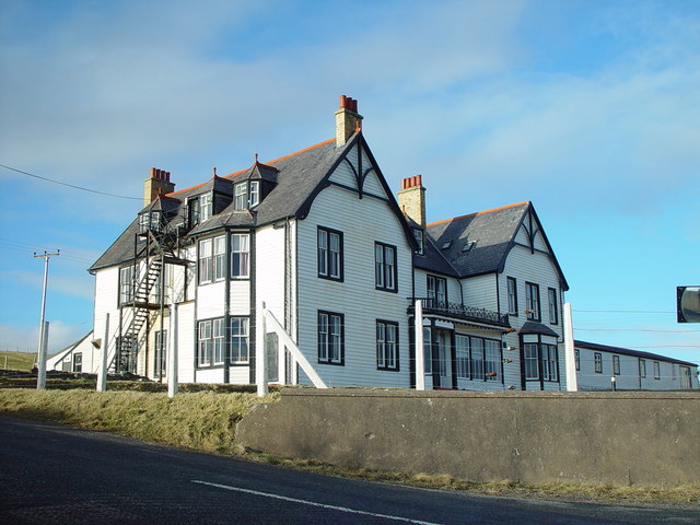
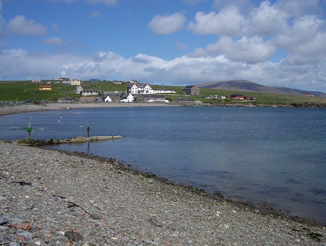
![St Magnus Bay Hotel, Hillswick, Shetland Built in 1900 by the North of Scotland Ferry company. Still functioning, just [in 2004], but the absentee landlord is clearly not interested in maintaining it as a hotel, which is sad.](https://s3.geograph.org.uk/photos/00/62/006251_e10baf81.jpg)


Helga Water is located at Grid Ref: HU2778 (Lat: 60.485781, Lng: -1.5096798)
Unitary Authority: Shetland Islands
Police Authority: Highlands and Islands
What 3 Words
///combines.cone.narrates. Near Brae, Shetland Islands
Nearby Locations
Related Wikis

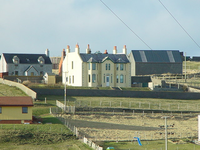
Hillswick
Hillswick is a small village in Northmavine, on the shore of the Atlantic Ocean and lies to the north-north west of Mainland, Shetland, the most northerly...

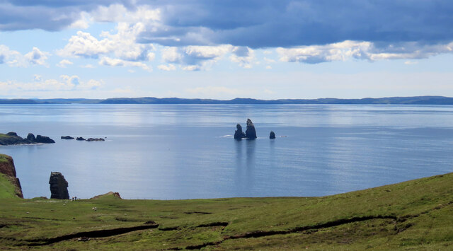
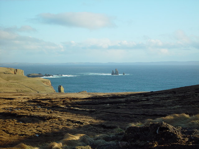
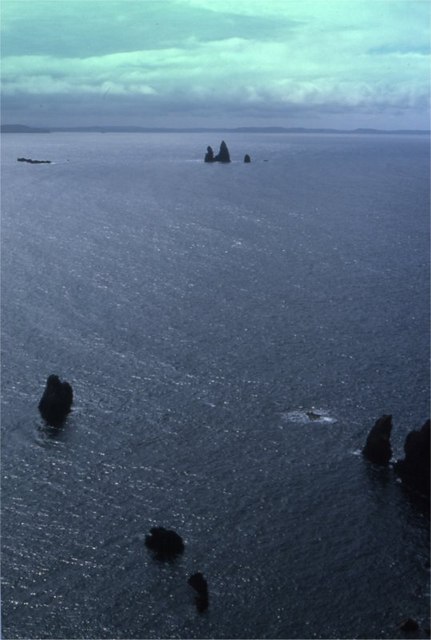
The Drongs
The Drongs are a group of sea stacks off the coast of Hillswick Ness, Northmavine, Shetland, Scotland. They lie to the west of the Isle of Westerhouse...

Assater
Assater (also spelled Assetter) is a hamlet on Mainland, in Shetland, Scotland. Assater is situated in the parish of Northmaven. It is about 1.3 miles...

Braehoulland
Braehoulland is a hamlet on Mainland, in Shetland, Scotland. Braehoulland is situated within the parish of Northmaven. Eshaness Community Centre is located...
Nearby Amenities
Located within 500m of 60.485781,-1.5096798Have you been to Helga Water?
Leave your review of Helga Water below (or comments, questions and feedback).