Lunga Water
Lake, Pool, Pond, Freshwater Marsh in Shetland
Scotland
Lunga Water

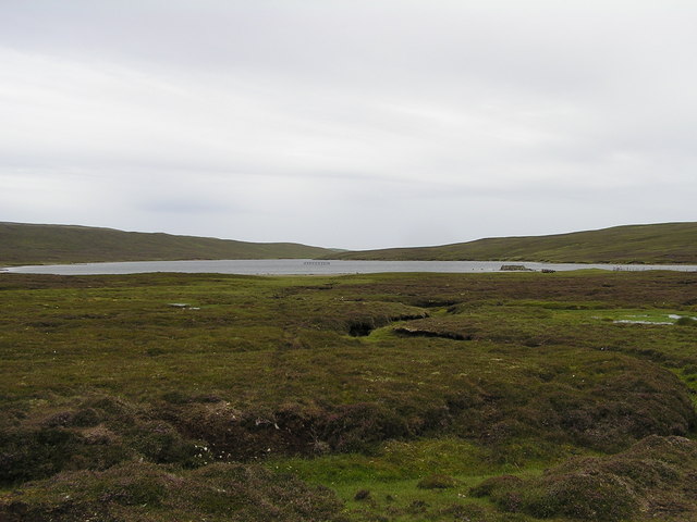
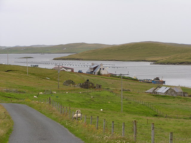
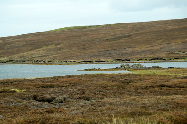
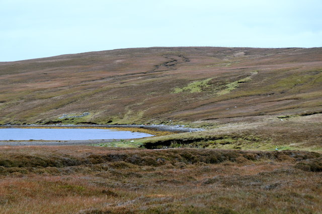
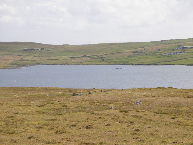
Lunga Water is a freshwater loch located in the Shetland Islands, Scotland. It is nestled amidst the rugged and picturesque landscape of the island of Mainland. The loch, also known as a lake, pool, or pond, is renowned for its natural beauty and tranquility.
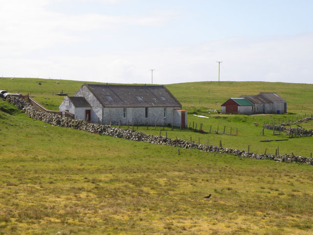
Covering an area of approximately 29 hectares, Lunga Water is relatively small in size but offers stunning views and a diverse ecosystem. Surrounded by rolling hills and verdant vegetation, the loch provides a peaceful retreat for both locals and visitors alike.
The water in Lunga Water is crystal clear and pristine, making it ideal for a variety of recreational activities such as fishing, boating, and kayaking. The loch is home to several species of fish, including brown trout and Arctic char, making it a popular spot for anglers.
Lunga Water is also a haven for birdwatchers, as it attracts a wide array of bird species throughout the year. Visitors can spot common birds such as mallards, tufted ducks, and goldeneye ducks, as well as the occasional rare species that migrate to the area.
The loch is surrounded by a freshwater marsh, which provides a rich habitat for various plant species. Reed beds and water lilies can be found along the marshy edges, adding to the natural beauty of the area.
Overall, Lunga Water offers a serene and idyllic setting for nature enthusiasts, providing an opportunity to connect with the stunning landscapes and diverse wildlife of the Shetland Islands.
If you have any feedback on the listing, please let us know in the comments section below.
Lunga Water Images
Images are sourced within 2km of 60.212345/-1.5149735 or Grid Reference HU2647. Thanks to Geograph Open Source API. All images are credited.


Lunga Water is located at Grid Ref: HU2647 (Lat: 60.212345, Lng: -1.5149735)
Unitary Authority: Shetland Islands
Police Authority: Highlands and Islands
What 3 Words
///friend.myths.footsteps. Near Walls, Shetland Islands
Nearby Locations
Related Wikis
Gruting
Gruting is a hamlet on the island of Mainland, Shetland in Scotland. It is about 1 kilometre (0.62 mi) southwest of the archaeological site of Stanydale...
Browland
Browland is a village on Mainland in Shetland, Scotland situated about 1.9 miles (3 km) east north east of Walls. Browland is within the parish of Sandsting...

Stanydale Temple
Stanydale Temple is a Neolithic site on Mainland, Shetland, Scotland. It is located in a field to the south of the modern village of Stanydale, roughly...

Linga, Vaila Sound
Linga is one of the Shetland Islands, near Vaila and Walls on Mainland, Shetland. Its highest elevation is 28 metres (91 ft). In 2014 and 2018 it was...
Have you been to Lunga Water?
Leave your review of Lunga Water below (or comments, questions and feedback).