Bedwell Pond

Lake, Pool, Pond, Freshwater Marsh in Oxfordshire West Oxfordshire

England

Bedwell Pond

Broadwell, St Peter & St Paul
Broadwell, St Peter & St Paul Credit: Dave Kelly

Bedwell Pond is a serene freshwater pond located in the picturesque county of Oxfordshire, England. Nestled amidst the lush countryside, this natural oasis provides a tranquil escape from the hustle and bustle of everyday life.

Spanning approximately 2 acres, Bedwell Pond is a beautiful example of a freshwater marsh ecosystem. Its crystal-clear waters are fed by natural underground springs, ensuring a constant flow of fresh, clean water. Surrounded by a dense thicket of reeds and other wetland vegetation, the pond offers a haven for a diverse array of plant and animal species.

The pond is teeming with life, both above and below the water's surface. Its pristine waters are home to a variety of fish species, including perch, roach, and tench, making it a popular spot for anglers. The surrounding vegetation provides excellent habitat for numerous bird species, such as mallards, coots, and herons, which can often be seen gracefully gliding across the water.

Visitors to Bedwell Pond can enjoy a leisurely stroll along its banks, taking in the beauty of the surrounding countryside. The pond is also a popular spot for picnicking and nature watching, with several benches strategically placed to offer panoramic views.

Overall, Bedwell Pond is a true gem of Oxfordshire, offering a peaceful retreat for nature enthusiasts and those seeking solace in the great outdoors. With its abundant wildlife, scenic surroundings, and tranquil ambiance, this freshwater marsh is a must-visit destination for anyone looking to reconnect with nature.

If you have any feedback on the listing, please let us know in the comments section below.
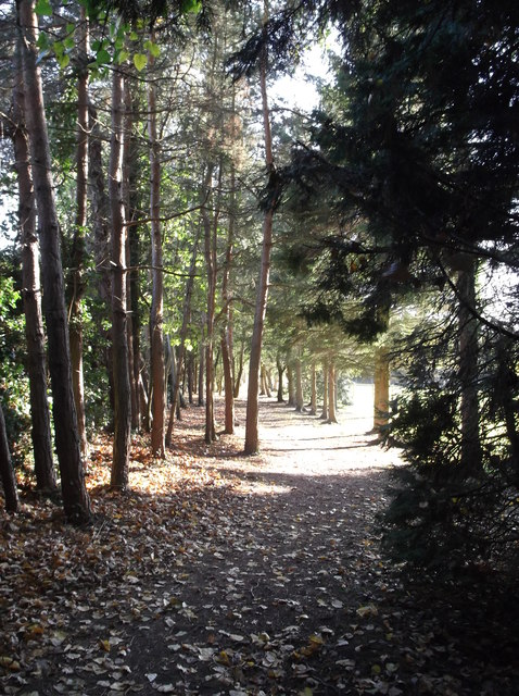
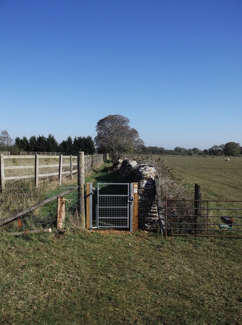
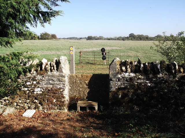
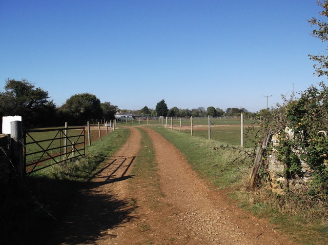
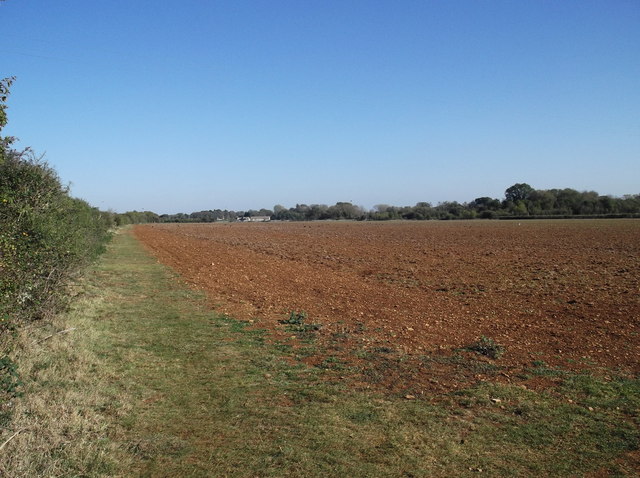
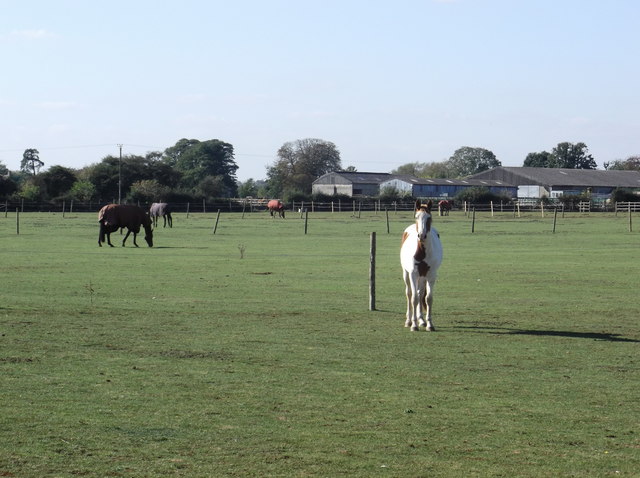
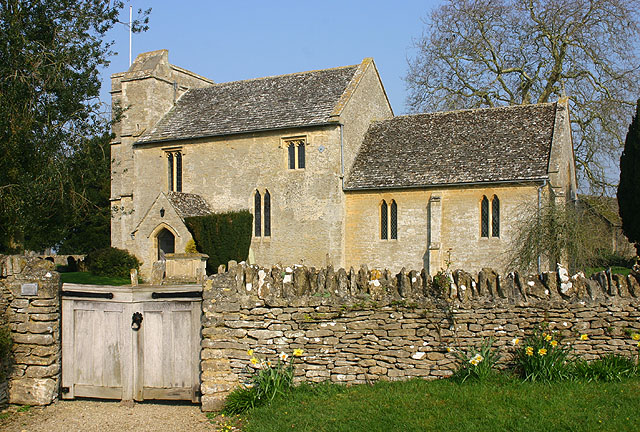
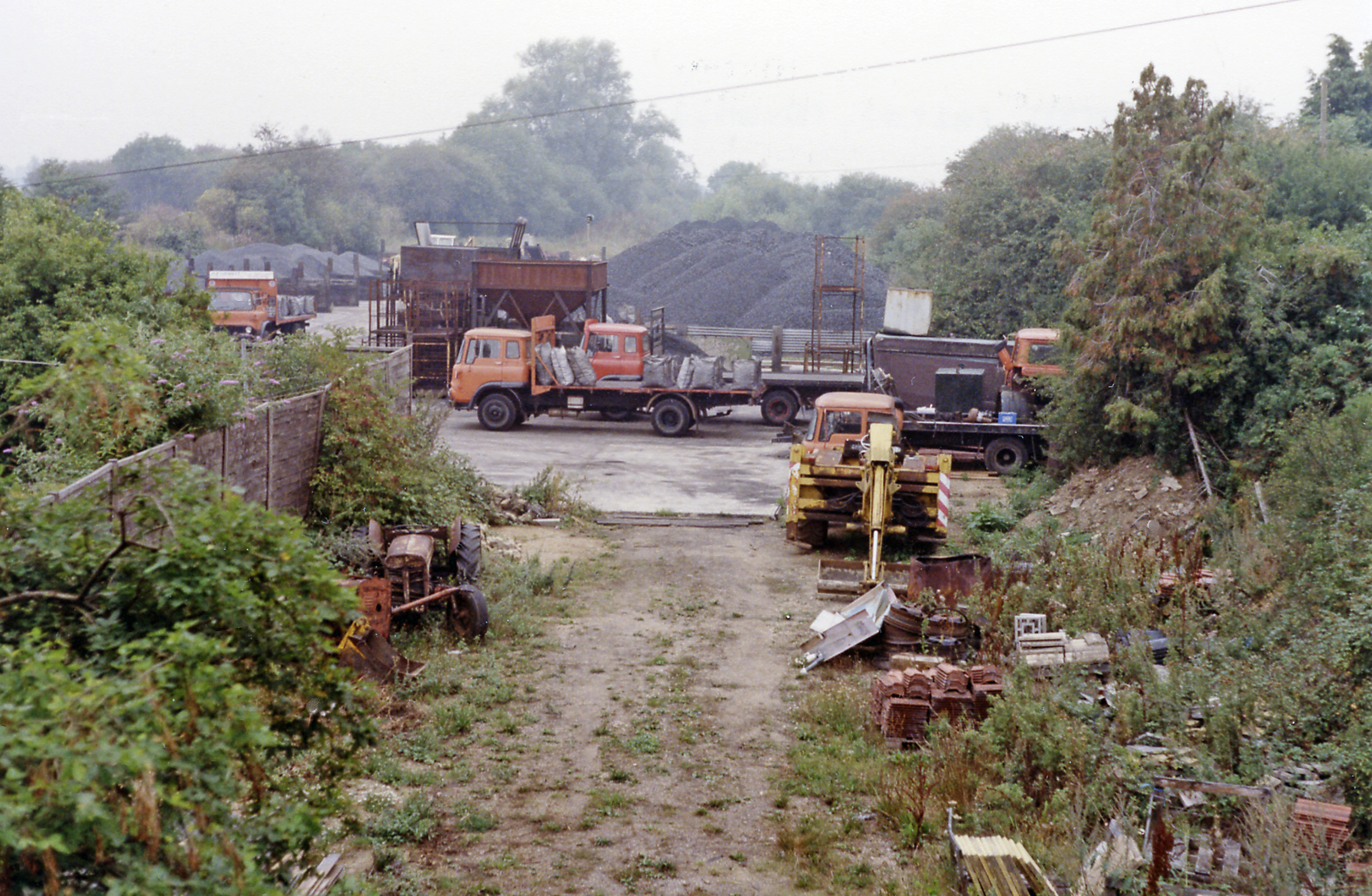
Bedwell Pond Images

Images are sourced within 2km of 51.737025/-1.6217847 or Grid Reference SP2604. Thanks to Geograph Open Source API. All images are credited.

Broadwell, St Peter & St Paul
Kencot, St George
Kencot, St George
St George's Church, Kencot
St Peter and St Paul's Church, Broadwell
St Peter's Church, Alvescot
Stile on the footpath Behind Alvescot village hall. The footpath splits a bit further ahead, one path going to Kencot, around a mile away, and the other to Langford, nearer 3 miles.
Stile on the footpath
Behind Alvescot village hall. The footpath splits a bit further ahead, one path going to Kencot, around a mile away, and the other to Langford, nearer 3 miles.
Children's playground in Alvescot
Gate and stile beside Alvescot village hall The start of the public footpath to Kencot and Langford.
Gate and stile beside Alvescot village hall
The start of the public footpath to Kencot and Langford.
Path through the trees The start of the footpath from Alvescot to Kencot and Langford.
Path through the trees
The start of the footpath from Alvescot to Kencot and Langford.
New gate on the footpath from Kencot to Alvescot Fairly recently erected gate replacing the old one shown in SP2504 : Footpath to Alvescot.
New gate on the footpath from Kencot to Alvescot
Fairly recently erected gate replacing the old one shown in SP2504 : Footpath to Alvescot.
Stile on the footpath from Kencot to Alvescot Choice of 3 footpaths over the stile, left into Kencot near the village institute, straight on to Alvescot, and right towards Calcroft Lane, and Langford.
Stile on the footpath from Kencot to Alvescot
Choice of 3 footpaths over the stile, left into Kencot near the village institute, straight on to Alvescot, and right towards Calcroft Lane, and Langford.
Track to Asthall Farm Photo taken from where the track crosses the Kencot to Alvescot footpath.
Track to Asthall Farm
Photo taken from where the track crosses the Kencot to Alvescot footpath.
Footpath to Alvescot From Kencot. The footpath runs along the grass strip at the left hand edge of the field.
Footpath to Alvescot
From Kencot. The footpath runs along the grass strip at the left hand edge of the field.
Fields with horses at Asthall Farm Asthall farm buildings can be seen in the background. Photo taken from the Kencot - Alvescot footpath.
Fields with horses at Asthall Farm
Asthall farm buildings can be seen in the background. Photo taken from the Kencot - Alvescot footpath.
Small stile on the Kencot to Alvescot footpath Looking west towards Kencot.
Small stile on the Kencot to Alvescot footpath
Looking west towards Kencot.
Butlers Court Farm Seen from the Kencot - Alvescot footpath. The footpath here runs across the middle of the field, although the actual course is not obvious just at the moment.
Butlers Court Farm
Seen from the Kencot - Alvescot footpath. The footpath here runs across the middle of the field, although the actual course is not obvious just at the moment.
B4020 enters Alvescot The slight rise in the carriageway and the brick parapet are remnants of the East Gloucestershire Railway that linked Witney and Fairford.
B4020 enters Alvescot
The slight rise in the carriageway and the brick parapet are remnants of the East Gloucestershire Railway that linked Witney and Fairford.
Main Road passes The Plough
Show me another place!

Bedwell Pond is located at Grid Ref: SP2604 (Lat: 51.737025, Lng: -1.6217847)

Administrative County: Oxfordshire

District: West Oxfordshire

Police Authority: Thames Valley

What 3 Words

///wooden.pancakes.relishes. Near Carterton, Oxfordshire

Nearby Locations

Bedwell Pond

Related Wikis

Kencot

Kencot is a village and civil parish about 2 miles (3 km) south-west of Carterton in West Oxfordshire. The 2011 Census recorded the parish's population...

Broadwell, Oxfordshire

Broadwell is a village and civil parish about 2 miles (3 km) south-west of Carterton in West Oxfordshire. The 2011 Census recorded the parish's population...

Alvescot railway station

Alvescot railway station was a railway station between the Oxfordshire villages of Alvescot and Black Bourton, in England. It was Oxford, Witney and Fairford...

Langford, Oxfordshire

Langford is a village and civil parish in West Oxfordshire, about 3 miles (5 km) northeast of Lechlade in neighbouring Gloucestershire. The 2011 Census...

Nearby Amenities

Located within 500m of 51.737025,-1.6217847
Power: pole
Source: Bing
Lat/Long: 51.7375932/-1.6191525
Power: pole
Source: Bing
Lat/Long: 51.7375767/-1.6174798
Power: pole
Source: Bing
Lat/Long: 51.7376776/-1.6148818
The data included in this document is from www.openstreetmap.org. The data is made available under ODbL.

Have you been to Bedwell Pond?

Leave your review of Bedwell Pond below (or comments, questions and feedback).