Blake Mere
Lake, Pool, Pond, Freshwater Marsh in Derbyshire Derbyshire Dales
England
Blake Mere
Blake Mere is a picturesque freshwater lake located in the county of Derbyshire, England. Nestled within the heart of the Peak District National Park, this serene body of water is a popular destination for nature enthusiasts and visitors seeking tranquility.
Spanning approximately 16 hectares, Blake Mere is surrounded by rolling hills and lush greenery, creating a stunning backdrop for outdoor activities and leisurely walks. The lake itself is fed by several natural springs, ensuring a constant flow of clean, freshwater.
The tranquil waters of Blake Mere provide a haven for a variety of wildlife. Birdwatchers flock to the area to observe the diverse avian species that inhabit the surrounding marshlands. Common sightings include ducks, swans, geese, and various species of wading birds. Additionally, the lake is home to a selection of fish, including perch, pike, and roach, making it a popular spot for anglers.
Visitors to Blake Mere can enjoy a range of activities on and around the lake. Canoeing and kayaking are popular pastimes, allowing visitors to explore the calm waters and take in the surrounding scenery. Additionally, the lake offers the opportunity for peaceful picnics, where visitors can relax and enjoy the tranquil atmosphere.
Surrounded by idyllic countryside, Blake Mere is a true gem in Derbyshire's landscape. Its natural beauty, diverse wildlife, and peaceful ambiance make it an ideal destination for those seeking a respite from the hustle and bustle of everyday life.
If you have any feedback on the listing, please let us know in the comments section below.
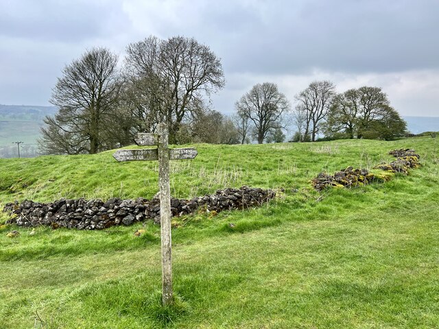
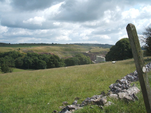
Blake Mere Images
Images are sourced within 2km of 53.124277/-1.6165577 or Grid Reference SK2558. Thanks to Geograph Open Source API. All images are credited.


Blake Mere is located at Grid Ref: SK2558 (Lat: 53.124277, Lng: -1.6165577)
Administrative County: Derbyshire
District: Derbyshire Dales
Police Authority: Derbyshire
What 3 Words
///trickles.doctors.deflation. Near Cromford, Derbyshire
Nearby Locations
Related Wikis

Beans and Bacon mine
The Beans and Bacon mine is a disused lead mine on Bonsall Moor near the village of Bonsall, Derbyshire, United Kingdom. The nearest large town is Matlock...
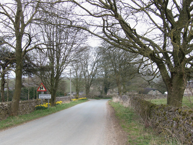
Brightgate
Brightgate is a village in Derbyshire, England. The population is recorded in the civil parish of Bonsall, Derbyshire. == References ==
Ivonbrook Grange
Ivonbrook Grange is a civil parish within the Derbyshire Dales district, in the county of Derbyshire, England. Largely rural, Ivonbrook Grange's population...

Ible
Ible (pronounced 'eyebull', or 'ib-ull') is a hamlet in Derbyshire, England, just within the Peak District National Park.It is near the Via Gellia valley...
Nearby Amenities
Located within 500m of 53.124277,-1.6165577Have you been to Blake Mere?
Leave your review of Blake Mere below (or comments, questions and feedback).