Chad Lakes
Lake, Pool, Pond, Freshwater Marsh in Gloucestershire Cotswold
England
Chad Lakes
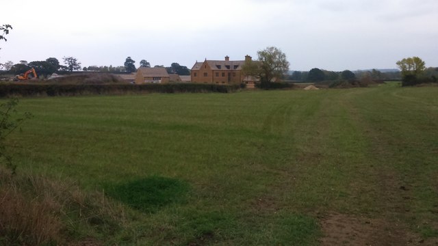
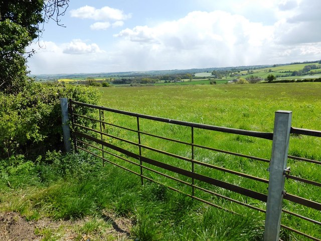
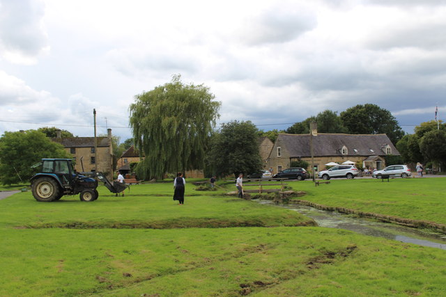
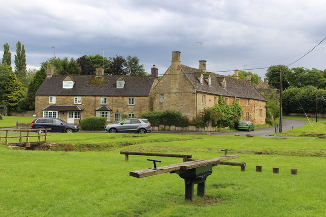
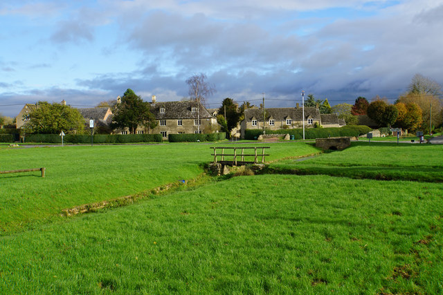
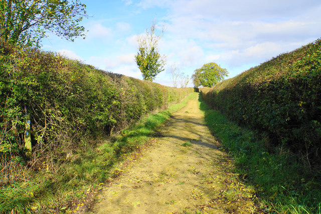
Chad Lakes is a picturesque freshwater ecosystem located in Gloucestershire, England. Comprising a series of interconnected lakes, pools, ponds, and a freshwater marsh, it covers an area of approximately 50 acres. The lakes are nestled within a lush green landscape, surrounded by rolling hills and dense woodlands, offering a serene and tranquil setting for both visitors and local wildlife.
The main lake at Chad Lakes is known for its crystal-clear waters and is a popular spot for various recreational activities such as fishing, boating, and birdwatching. Anglers are drawn to the lake due to its diverse fish population, including carp, pike, and perch. The calm and serene environment makes it an ideal place for leisurely boat rides, allowing visitors to soak in the beauty of the surroundings.
Adjacent to the main lake, there are several smaller pools and ponds that provide a haven for a variety of aquatic plants and animals. These shallow bodies of water are home to an array of waterfowl, including ducks, swans, and herons, making it a paradise for bird enthusiasts. The freshwater marsh, situated on the fringes of the lakes, further enhances the biodiversity of Chad Lakes. It supports a multitude of plant species, such as reeds and rushes, which provide shelter and nesting grounds for numerous bird species.
Chad Lakes is not only a haven for wildlife but also a popular destination for nature lovers and outdoor enthusiasts. Its idyllic setting, abundant wildlife, and recreational opportunities make it an ideal place to relax, explore, and connect with nature.
If you have any feedback on the listing, please let us know in the comments section below.
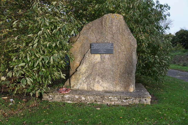
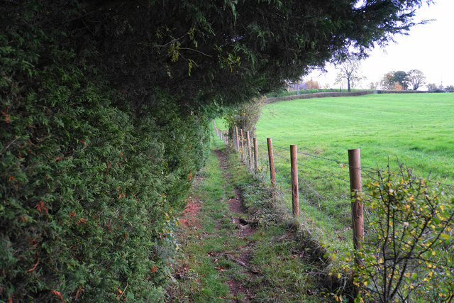
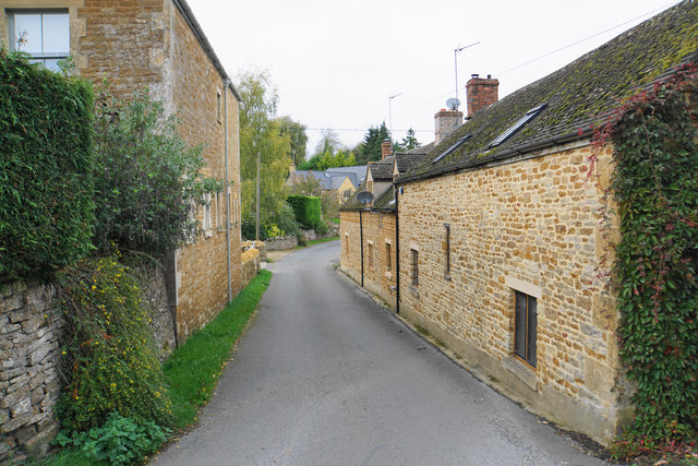
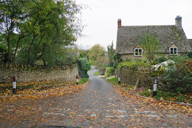
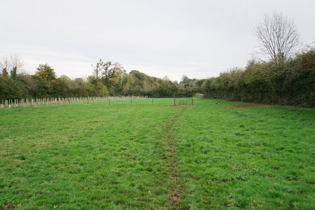
Chad Lakes Images
Images are sourced within 2km of 51.915292/-1.6672064 or Grid Reference SP2224. Thanks to Geograph Open Source API. All images are credited.


Chad Lakes is located at Grid Ref: SP2224 (Lat: 51.915292, Lng: -1.6672064)
Administrative County: Gloucestershire
District: Cotswold
Police Authority: Gloucestershire
What 3 Words
///slant.wool.hoped. Near Stow on the Wold, Gloucestershire
Nearby Locations
Related Wikis

Bledington
Bledington is a village and civil parish in the Cotswold district of Gloucestershire, England, about four miles southeast of Stow-on-the-Wold and six miles...
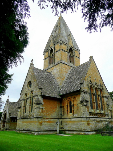
Church of St Peter, Daylesford
The Anglican Church of St Peter at Daylesford in the Cotswold District of Gloucestershire, England was rebuilt in 1860. It is a grade I listed building...

Church of St Mary, Icomb
The Anglican Church of St Mary at Icomb in the Cotswold District of Gloucestershire, England was built in the 15th century. It is a grade I listed building...

Church of St Leonard, Bledington
The Anglican Church of St Leonard at Bledington in the Cotswold District of Gloucestershire, England, was built in 12th century. It is a grade I listed...

Daylesford, Gloucestershire
Daylesford is a small, privately owned village and former civil parish, now in the parish of Adlestrop, in the Cotswold district, in the county of Gloucestershire...
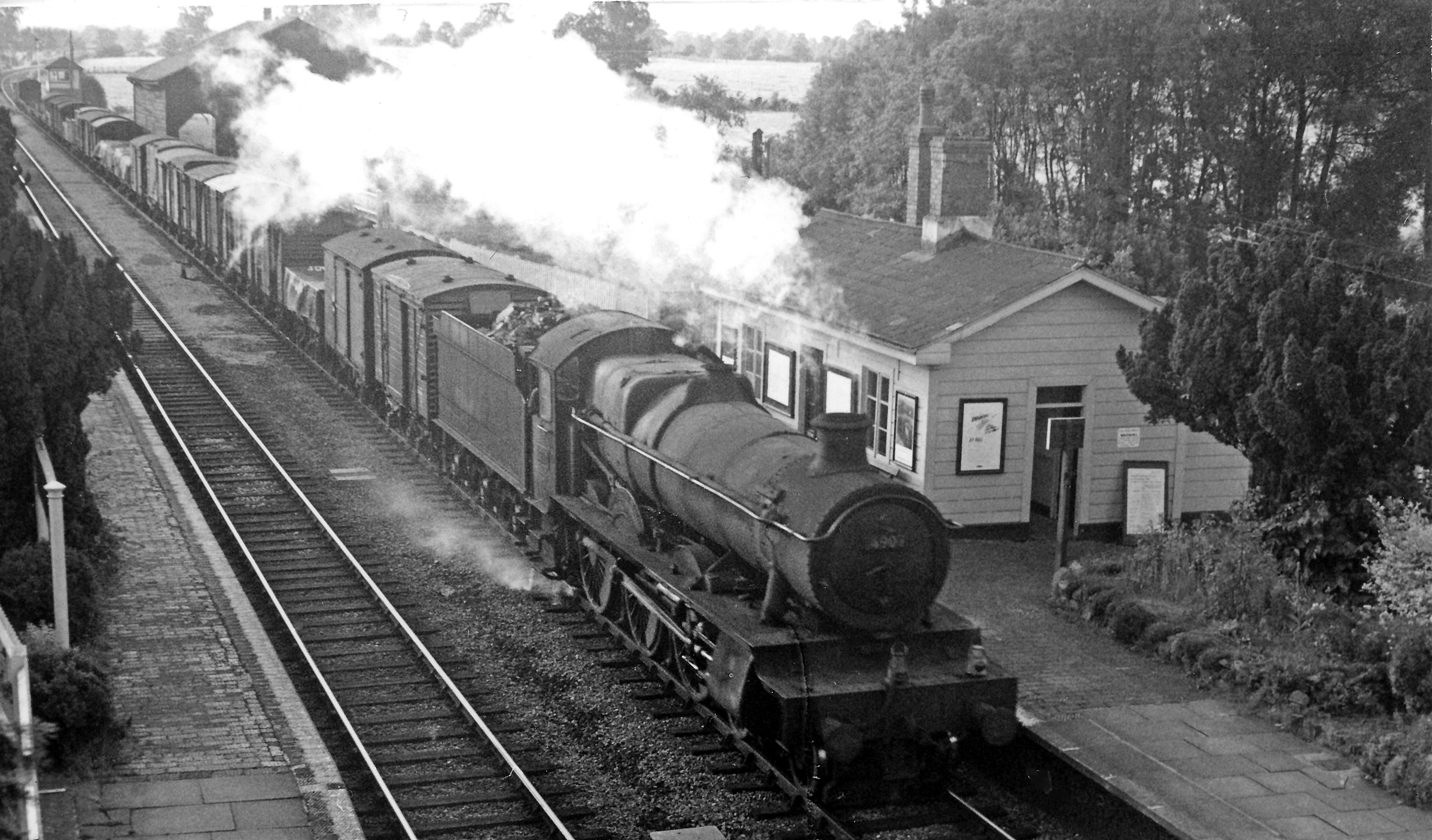
Adlestrop railway station
Adlestrop railway station was a railway station which served the village of Adlestrop in Gloucestershire, England, between 1853 and 1966. It was on what...

Icomb Place
Icomb Place (pronounced "Ickum") is a medieval manor house on the edge of the village of Icomb, near Stow on the Wold in Gloucestershire. The word "place...

Icomb
Icomb is a village in the Gloucestershire Cotswolds, near to Stow on the Wold. The population taken at the 2011 census was 202.The village appears as Iacumbe...
Nearby Amenities
Located within 500m of 51.915292,-1.6672064Have you been to Chad Lakes?
Leave your review of Chad Lakes below (or comments, questions and feedback).