Black Loch

Lake, Pool, Pond, Freshwater Marsh in Shetland

Scotland

Black Loch

Lawby Knowe between Sandness and Walls
Lawby Knowe between Sandness and Walls Credit: Mike Pennington

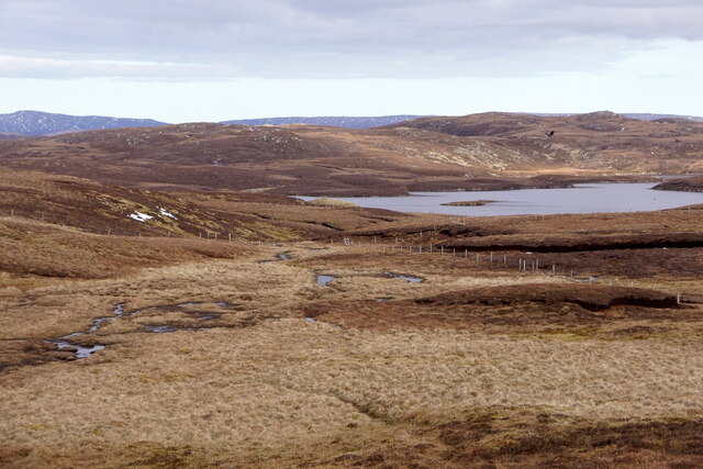
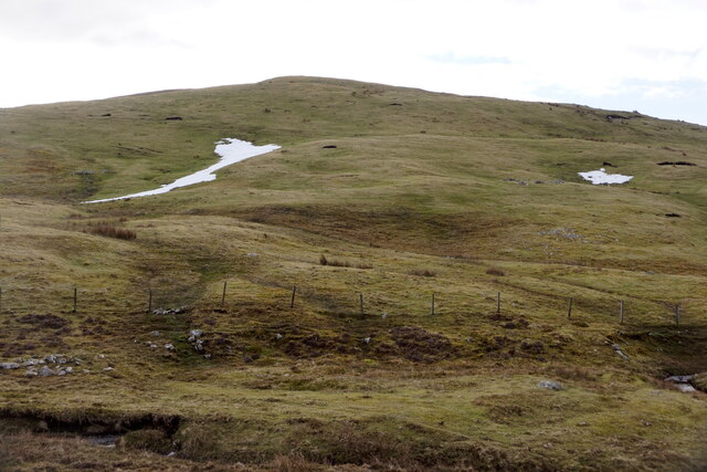
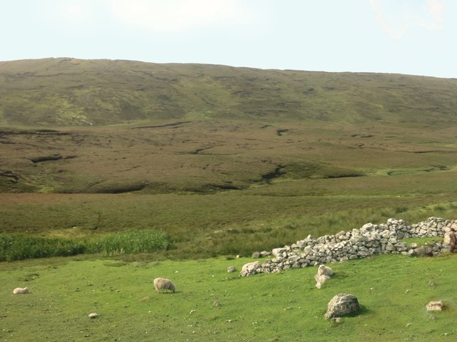
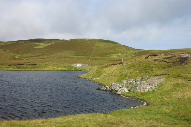
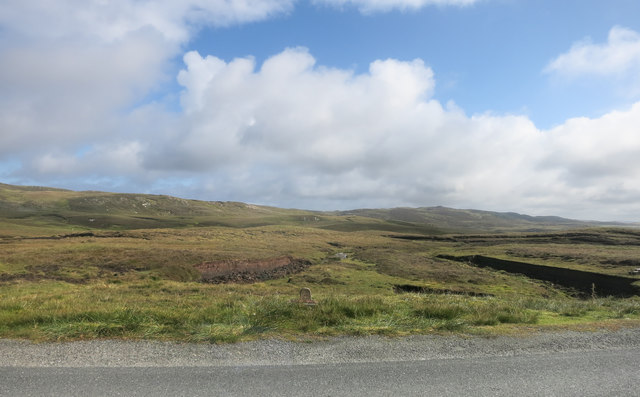
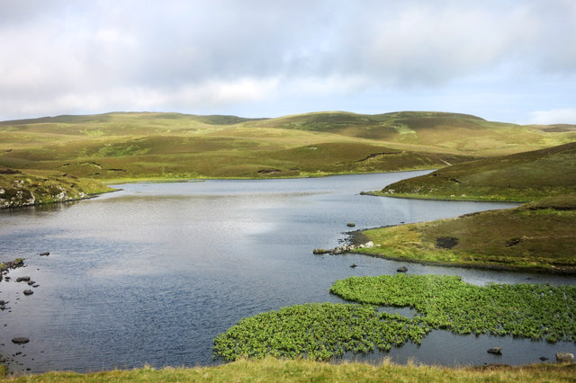
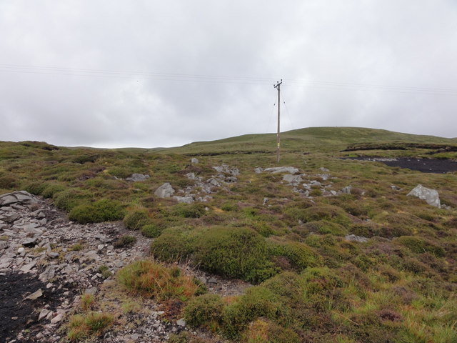
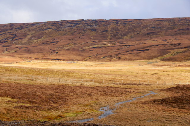
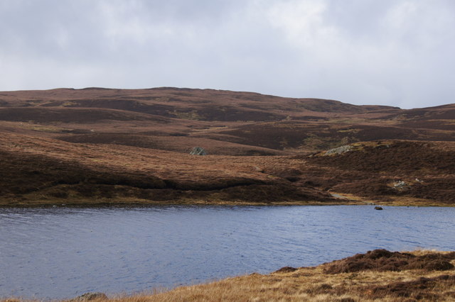
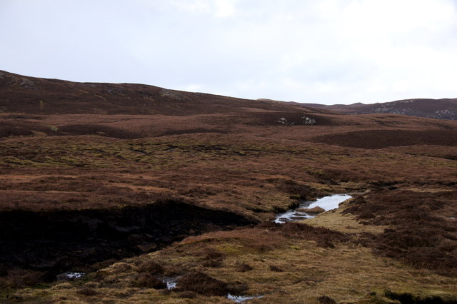
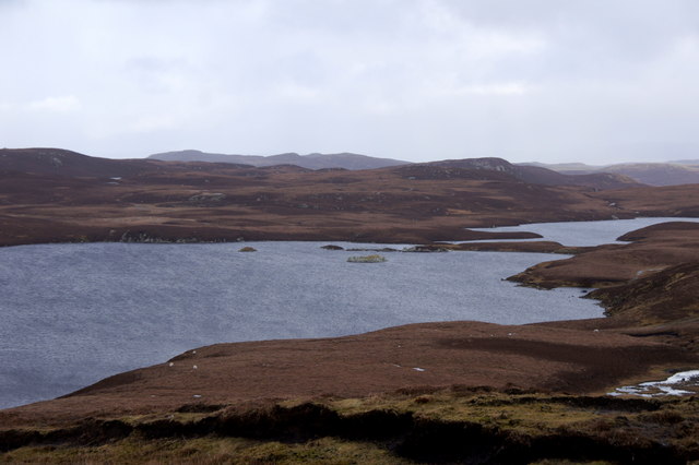
Black Loch is a freshwater loch located in the Shetland Islands, Scotland. It is situated in a remote and sparsely populated area, surrounded by rolling hills and rugged terrain. The loch is relatively small in size, with a surface area of approximately 3 hectares.

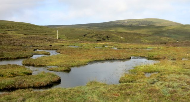
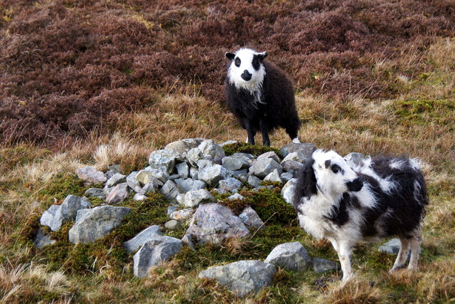
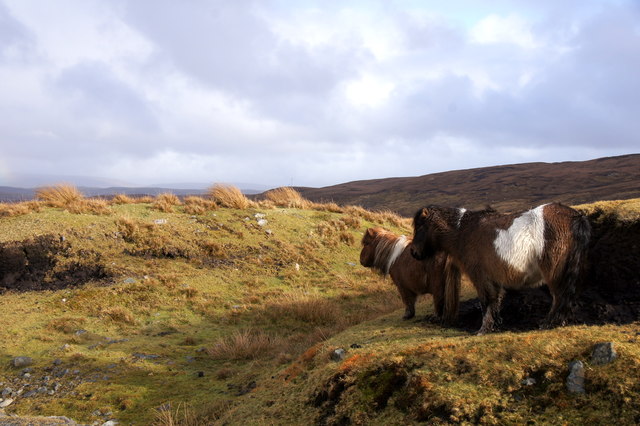
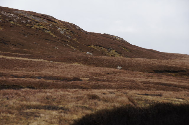
Black Loch is known for its dark, peaty waters which give the loch its name. The water is slightly acidic and supports a variety of plant and animal life. The surrounding area is home to a diverse range of bird species, including ducks, swans, and waders.

The loch is a popular spot for fishing, with anglers coming to try their luck at catching brown trout and perch. The tranquil setting and picturesque scenery make it a peaceful retreat for those looking to escape the hustle and bustle of everyday life.

Overall, Black Loch is a hidden gem in the Shetland Islands, offering visitors a chance to connect with nature and enjoy the beauty of the Scottish countryside.

If you have any feedback on the listing, please let us know in the comments section below.

Black Loch Images

Images are sourced within 2km of 60.27345/-1.6025409 or Grid Reference HU2254. Thanks to Geograph Open Source API. All images are credited.

Lawby Knowe between Sandness and Walls
Mousa Vord Loch from Trona Scord
Herma Neuk from Trona Scord, Sandness
Ruin by the road Including the Burn of Cattikismires and the hill Neuglesbreck.
Ruin by the road
Including the Burn of Cattikismires and the hill Neuglesbreck.
Sheep Wash, Stanevatstoe Loch
A Wetland Area A series of small ponds and lakes on this level valley floor.
A Wetland Area
A series of small ponds and lakes on this level valley floor.
Neuglesbreck An interesting name for a random bit of hillside, which prompted a quick look-up to see if there was an explanation/translation.
Not exactly, but I did find out about Njugles, mystical horses which lure unwary travellers to their doom, in the way these sort of creatures so often do. See
<span class="nowrap"><a title="https://jordanoggblog.wordpress.com/category/folklore/" rel="nofollow ugc noopener" href="https://jordanoggblog.wordpress.com/category/folklore/">Link</a><img style="margin-left:2px;" alt="External link" title="External link - shift click to open in new window" src="https://s1.geograph.org.uk/img/external.png" width="10" height="10"/></span> for more njugle stories.
And also <span class="nowrap"><a title="https://www.shetlink.com/index.php?/topic/245-njugle/" rel="nofollow ugc noopener" href="https://www.shetlink.com/index.php?/topic/245-njugle/">Link</a><img style="margin-left:2px;" alt="External link" title="External link - shift click to open in new window" src="https://s1.geograph.org.uk/img/external.png" width="10" height="10"/></span> for a bit of informed rambling on the same subject with special references to bathwater, and bears on Fetlar.
Neuglesbreck
An interesting name for a random bit of hillside, which prompted a quick look-up to see if there was an explanation/translation. Not exactly, but I did find out about Njugles, mystical horses which lure unwary travellers to their doom, in the way these sort of creatures so often do. See LinkExternal link for more njugle stories. And also LinkExternal link for a bit of informed rambling on the same subject with special references to bathwater, and bears on Fetlar.
View over Stanevatstoe Loch
Stone by the Road This is the "Stone" marked on the map. There's a similar one a bit further back towards Walls.
I guess they're landmarks of some kind. They don't get Olde Script, so presumably they are recent.
Stone by the Road
This is the "Stone" marked on the map. There's a similar one a bit further back towards Walls. I guess they're landmarks of some kind. They don't get Olde Script, so presumably they are recent.
Road Junction Road Junction for Sandness & Bixter
Road Junction
Road Junction for Sandness & Bixter
Power Distribution Electricity lines
Power Distribution
Electricity lines
Dale of Walls at Lungatou
'Panda' sheep, Dale of Walls
Ponies on moorland near Stanevatstoe Loch, Sandness
Stanevatstoe Loch, Sandness
Moorland on the south side of Mousa Vord, Sandness
Moorland on Neuglesbreck, between Walls and Sandness
Burga Water in west Mainland The broch in the loch is named a Dun on the map for some reason.
Burga Water in west Mainland
The broch in the loch is named a Dun on the map for some reason.
Show me another place!

Black Loch is located at Grid Ref: HU2254 (Lat: 60.27345, Lng: -1.6025409)

Unitary Authority: Shetland Islands

Police Authority: Highlands and Islands

What 3 Words

///clues.pushover.examiner. Near Walls, Shetland Islands

Nearby Locations

Black Loch

Related Wikis

Bousta

Bousta is a settlement on Mainland, in Shetland, Scotland. Bousta is situated in the parish of Walls and Sandness.Scott's Hawkweed is native to the pastures...

Sandness

Sandness (the "d" is not pronounced locally) is a headland and district in the west of Shetland Mainland, Scotland. Sandness was a civil parish, which...

Scord of Brouster

The Scord of Brouster is one of the earliest Neolithic farm sites in Shetland, Scotland. It has been dated to 2220 BC with a time window of 80 years on...

Broch of West Burrafirth

The Broch of West Burrafirth is an Iron Age broch located on the west side of Mainland, Shetland (grid reference HU25625720). == Location == The broch...

Nearby Amenities

Located within 500m of 60.27345,-1.6025409
Power: pole
Lat/Long: 60.2692281/-1.6018551
Power: pole
Lat/Long: 60.2697792/-1.6024757
Power: pole
Lat/Long: 60.2703137/-1.6030776
Power: pole
Lat/Long: 60.2707596/-1.6035798
Power: pole
Lat/Long: 60.2713398/-1.6042332
Power: pole
Lat/Long: 60.2716129/-1.6045407
Power: pole
Lat/Long: 60.271995/-1.604971
Power: pole
Lat/Long: 60.2726292/-1.6056853
Power: pole
Lat/Long: 60.2732158/-1.6063459
Power: pole
Lat/Long: 60.2737612/-1.6069601
Power: pole
Lat/Long: 60.2740038/-1.6072332
Power: pole
Lat/Long: 60.2744373/-1.6077215
Power: pole
Lat/Long: 60.2749226/-1.608268
Power: pole
Lat/Long: 60.2752227/-1.6086059
Power: pole
Lat/Long: 60.2757214/-1.6091676
The data included in this document is from www.openstreetmap.org. The data is made available under ODbL.

Have you been to Black Loch?

Leave your review of Black Loch below (or comments, questions and feedback).