West Dalsa Water
Lake, Pool, Pond, Freshwater Marsh in Shetland
Scotland
West Dalsa Water
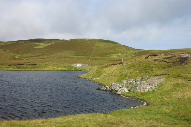
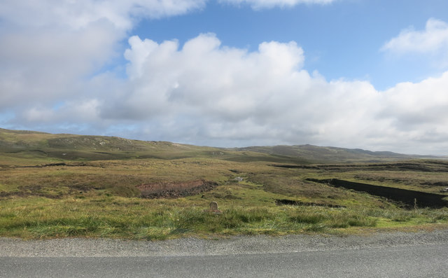
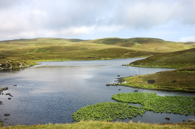
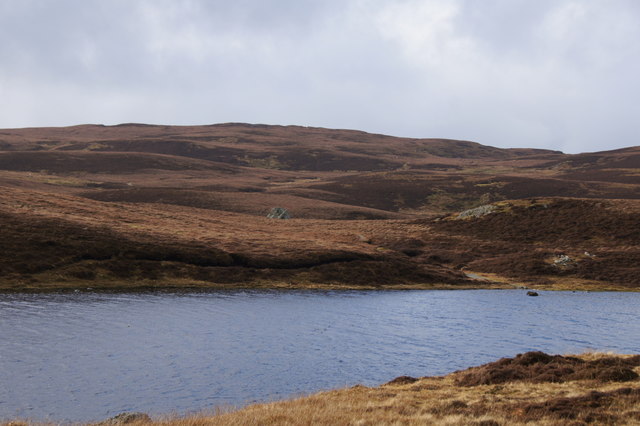
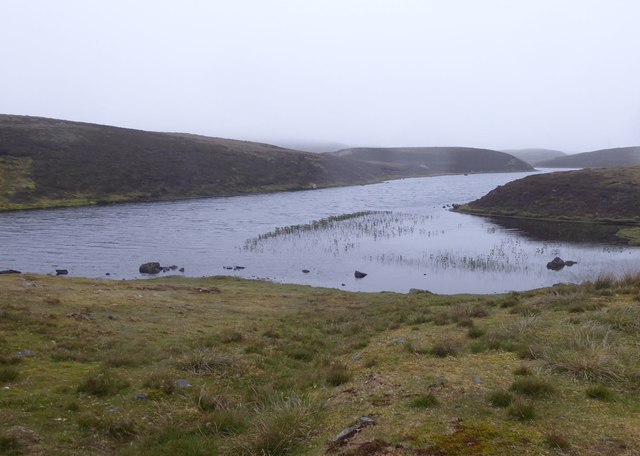
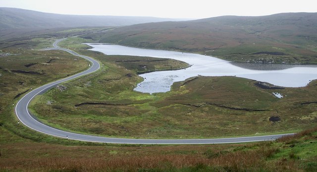
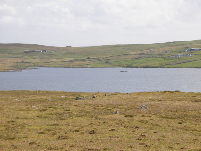
West Dalsa Water is a picturesque freshwater body located in the Shetland Islands, Scotland. This natural feature is classified as a loch, which is a Scottish term for a lake. It is nestled among the rolling hills and lush greenery of the region, creating a serene and tranquil setting.
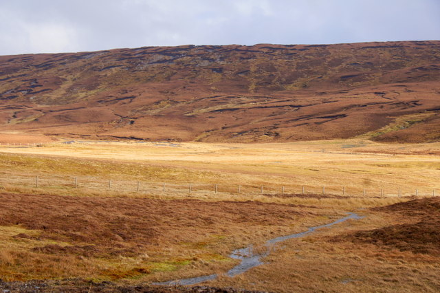
The loch covers an area of approximately 14 hectares and has a maximum depth of around 10 meters. It is fed by several small streams that flow from the surrounding hills, ensuring a constant supply of fresh water. The water in West Dalsa Water is crystal clear, reflecting the vibrant colors of the surrounding landscape.
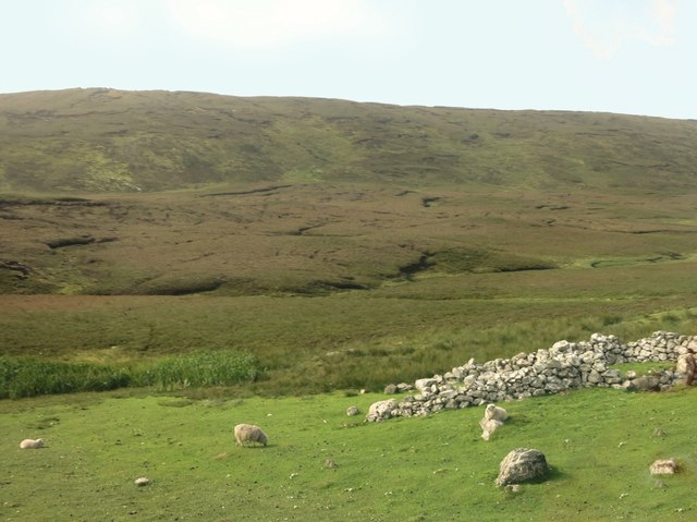
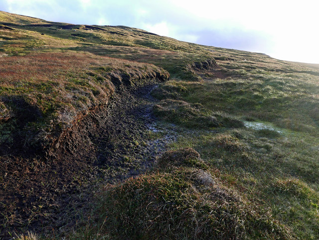
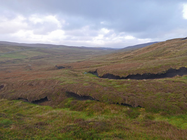
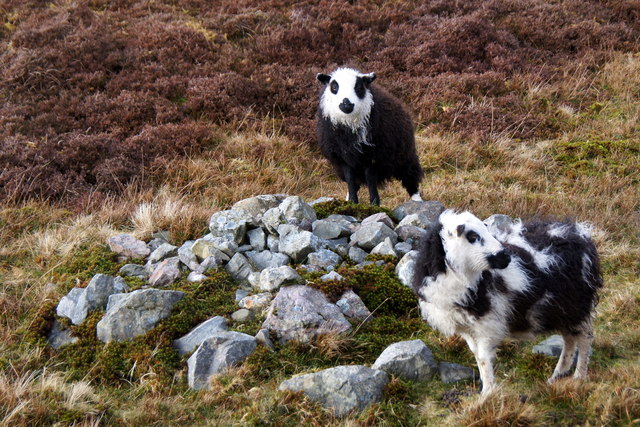
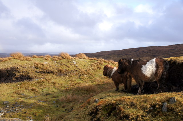
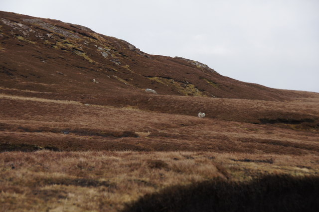
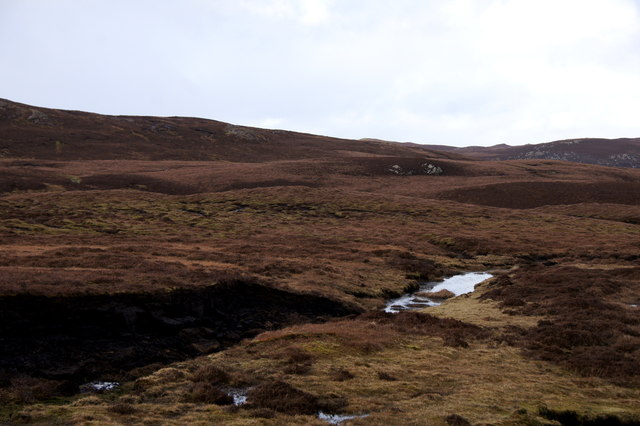
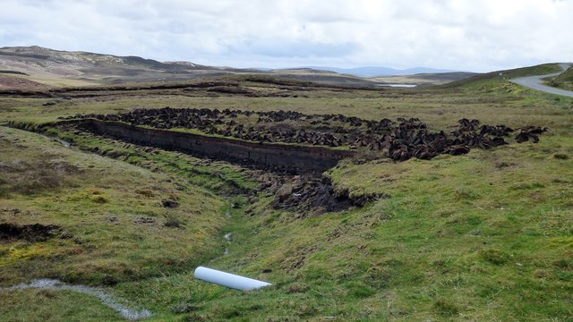
Surrounded by peat bogs and wet heathland, the loch is home to a diverse range of flora and fauna. The shores of West Dalsa Water are dotted with reeds and rushes, providing a habitat for a variety of water-loving plants and marshland species. This makes the loch an important site for wetland conservation and biodiversity.
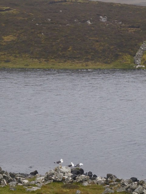
The loch is also a haven for wildlife enthusiasts and birdwatchers. It serves as a nesting ground for several bird species, including common sandpipers, red-throated divers, and curlews. Visitors may also spot otters, which are known to inhabit the loch and its surrounding areas.
West Dalsa Water offers a tranquil setting for recreational activities such as fishing and boating. Anglers are attracted by the loch's population of brown trout, which provides an excellent opportunity for fishing enthusiasts.
In summary, West Dalsa Water is a stunning freshwater loch nestled in the beautiful landscape of the Shetland Islands. Its clear waters, diverse flora and fauna, and recreational opportunities make it a popular destination for nature lovers and outdoor enthusiasts alike.
If you have any feedback on the listing, please let us know in the comments section below.
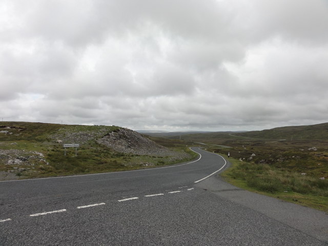
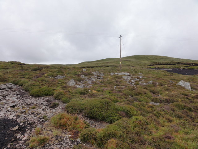
West Dalsa Water Images
Images are sourced within 2km of 60.263217/-1.6222366 or Grid Reference HU2153. Thanks to Geograph Open Source API. All images are credited.
West Dalsa Water is located at Grid Ref: HU2153 (Lat: 60.263217, Lng: -1.6222366)
Unitary Authority: Shetland Islands
Police Authority: Highlands and Islands
What 3 Words
///revealing.woof.zest. Near Walls, Shetland Islands
Nearby Locations
Related Wikis

Sandness
Sandness (the "d" is not pronounced locally) is a headland and district in the west of Shetland Mainland, Scotland. Sandness was a civil parish, which...

Bousta
Bousta is a settlement on Mainland, in Shetland, Scotland. Bousta is situated in the parish of Walls and Sandness.Scott's Hawkweed is native to the pastures...

Scord of Brouster
The Scord of Brouster is one of the earliest Neolithic farm sites in Shetland, Scotland. It has been dated to 2220 BC with a time window of 80 years on...

Walls, Shetland
Walls, known locally as Waas (Old Norse: Vagar = "Sheltered Bays" (voes) - the Ordnance Survey added the "ll" as they thought it was a corruption of "walls...

Burrastow
Burrastow is a location on the west shore of Vaila Sound near the village of Walls on the Shetland Mainland, Scotland. There are two small piers and the...

Broch of West Burrafirth
The Broch of West Burrafirth is an Iron Age broch located on the west side of Mainland, Shetland (grid reference HU25625720). == Location == The broch...

Linga, Vaila Sound
Linga is one of the Shetland Islands, near Vaila and Walls on Mainland, Shetland. Its highest elevation is 28 metres (91 ft). In 2014 and 2018 it was...
Browland
Browland is a village on Mainland in Shetland, Scotland situated about 1.9 miles (3 km) east north east of Walls. Browland is within the parish of Sandsting...
Nearby Amenities
Located within 500m of 60.263217,-1.6222366Have you been to West Dalsa Water?
Leave your review of West Dalsa Water below (or comments, questions and feedback).