Bannerley Pool

Lake, Pool, Pond, Freshwater Marsh in Warwickshire North Warwickshire

England

Bannerley Pool

Packington Lane, Coleshill
Packington Lane, Coleshill Credit: Ian S

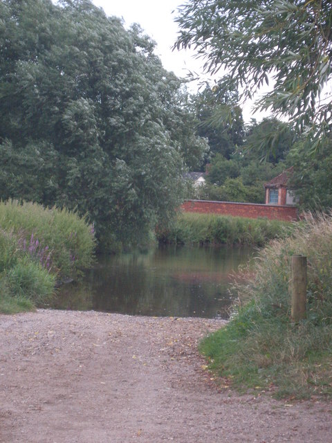
Bannerley Pool is a picturesque freshwater lake located in Warwickshire, England. With an area of approximately 10 acres, it is surrounded by lush greenery, making it a serene and tranquil spot for nature enthusiasts. The pool is situated within a larger nature reserve, which encompasses diverse ecosystems such as pools, ponds, and freshwater marshes.

The pool itself is known for its crystal-clear waters, which are home to a variety of aquatic plants and wildlife. The lake's surface is often adorned with blooming water lilies, creating a stunning visual appeal. The surrounding vegetation includes reeds, rushes, and willow trees, providing a natural habitat for numerous bird species.

Birdwatchers flock to Bannerley Pool for its remarkable avian population. Over 100 species of birds have been recorded in the area, including the iconic kingfisher, herons, and various waterfowl. The pool is also a nesting ground for several migratory birds, making it a popular destination for bird lovers throughout the year.

The lake offers a peaceful atmosphere for those seeking relaxation or a quiet stroll. Visitors can enjoy scenic walks along the designated pathways, which provide excellent views of the pool and its surroundings. Fishing is also permitted in designated areas, attracting anglers who can try their luck in catching perch, pike, and carp.

Bannerley Pool is not only a haven for wildlife but also a valuable educational resource. The nature reserve offers educational programs and guided tours, allowing visitors to learn about the diverse flora and fauna that thrive in this unique ecosystem.

If you have any feedback on the listing, please let us know in the comments section below.

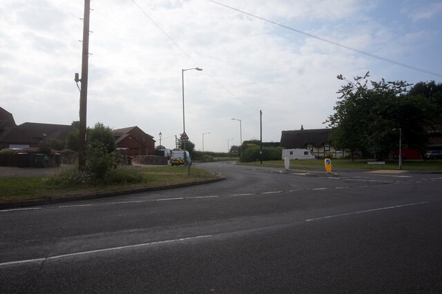
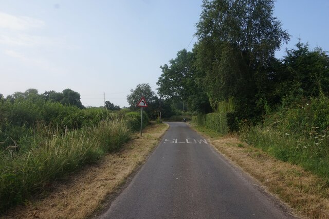
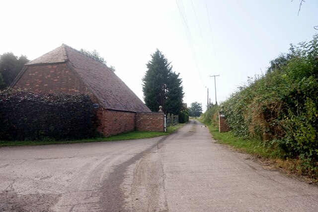
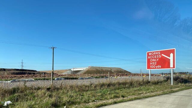
Bannerley Pool Images

Images are sourced within 2km of 52.471778/-1.6926475 or Grid Reference SP2086. Thanks to Geograph Open Source API. All images are credited.

Packington Lane, Coleshill
Arnolds Lane towards Maxstoke
Maxstoke Barn on Arnolds Lane
HS2, Solihull district, February 2022 This is the general area of the HS2 interchange, seen from the A452. As well as the railway itself, construction of new roads is everywhere, to serve the interchange station, connecting roads and associated development. Location of this photo is estimated. It may show a road crossing HS2.
HS2, Solihull district, February 2022
This is the general area of the HS2 interchange, seen from the A452. As well as the railway itself, construction of new roads is everywhere, to serve the interchange station, connecting roads and associated development. Location of this photo is estimated. It may show a road crossing HS2.
HS2 works, Solihull area, March 2023 – new bridge This is one of many roads and road junctions being remodelled along the HS2 corridor. It is to be hoped that access to the interchange station and development around it have been planned for. The photo shows a new bridge over the parting of the A452 Chester Road (ahead) and the A446 Kenilworth Road (right), a spot labelled Denbigh Corner by the A-Z. Ahead is a remodelled gyratory giving access to Birmingham Business Park. On the left the A452 is joined by the exit from the lanes that serve the Packington landfill site <a href="https://www.geograph.org.uk/photo/3126732">SP2085 : Packington Mountain from the north</a>.
Photo number 7567735.
HS2 works, Solihull area, March 2023 – new bridge
This is one of many roads and road junctions being remodelled along the HS2 corridor. It is to be hoped that access to the interchange station and development around it have been planned for. The photo shows a new bridge over the parting of the A452 Chester Road (ahead) and the A446 Kenilworth Road (right), a spot labelled Denbigh Corner by the A-Z. Ahead is a remodelled gyratory giving access to Birmingham Business Park. On the left the A452 is joined by the exit from the lanes that serve the Packington landfill site SP2085 : Packington Mountain from the north. Photo number 7567735.
Common Farm Cottage - the farmhouse A view of the rear of Common Farm Cottage, once set in open fields and now completely hemmed in all around by road and rail (HS2) developments. The house is deserted and vandalised, almost all the windows are broken and I suspect any remaining fitments of scrap value have been stolen. The place will probably be demolished soon, at which point the <a href="https://www.geograph.org.uk/photo/7658079">SP2084 : OS benchmark - Common Farm Cottage</a>  and the <a href="https://www.geograph.org.uk/photo/7658073">SP2084 : Barnyard and old barns at Common Farm</a> will be lost too. Such is progress.
Common Farm Cottage - the farmhouse
A view of the rear of Common Farm Cottage, once set in open fields and now completely hemmed in all around by road and rail (HS2) developments. The house is deserted and vandalised, almost all the windows are broken and I suspect any remaining fitments of scrap value have been stolen. The place will probably be demolished soon, at which point the SP2084 : OS benchmark - Common Farm Cottage and the SP2084 : Barnyard and old barns at Common Farm will be lost too. Such is progress.
Barnyard and old barns at Common Farm Now abandoned and becoming rapidly derelict, the barns belonged to Common Farm, which once was surrounded by open land, and is now hemmed in by 21st century transport developments all around.
Barnyard and old barns at Common Farm
Now abandoned and becoming rapidly derelict, the barns belonged to Common Farm, which once was surrounded by open land, and is now hemmed in by 21st century transport developments all around.
OS benchmark - Common Farm Cottage Located at the north corner of the semi-derelict <a href="https://www.geograph.org.uk/photo/7658070">SP2084 : Common Farm Cottage - the farmhouse</a> (which meant  it required some excavating from behind a fair tangle of brambles) the benchmark was last levelled by the OS in 1965 at 100.910m above Ordnance Datum Newlyn. At that point, it was probably cut to replace an older mark on one of the barns, shown on old maps at 330.6ft Liverpool Datum.
OS benchmark - Common Farm Cottage
Located at the north corner of the semi-derelict SP2084 : Common Farm Cottage - the farmhouse (which meant it required some excavating from behind a fair tangle of brambles) the benchmark was last levelled by the OS in 1965 at 100.910m above Ordnance Datum Newlyn. At that point, it was probably cut to replace an older mark on one of the barns, shown on old maps at 330.6ft Liverpool Datum.
Packington Landfill Site This is the entrance to The Packington Landfill Site. Not the prettiest of views, but these places exist and, as can be seen from the map, can cover a considerable area (385 acres). This is one of largest landfill sites in Europe, and Packington Landfill rises in height by one metre a year.
Packington Landfill Site
This is the entrance to The Packington Landfill Site. Not the prettiest of views, but these places exist and, as can be seen from the map, can cover a considerable area (385 acres). This is one of largest landfill sites in Europe, and Packington Landfill rises in height by one metre a year.
Melbicks Garden Centre Melbicks (very nice) Garden Centre, with the Packington Landfill Site in the background and the central reservation of the A452 in the foreground
Melbicks Garden Centre
Melbicks (very nice) Garden Centre, with the Packington Landfill Site in the background and the central reservation of the A452 in the foreground
Ford at Little Packington School Lane at Little Packington leads to this ford.
Ford at Little Packington
School Lane at Little Packington leads to this ford.
Crops off Packington Lane This field is east of Packington Lane and south of Junction 3A of the M6. Look closely and you can see the M6 in the distance.
Crops off Packington Lane
This field is east of Packington Lane and south of Junction 3A of the M6. Look closely and you can see the M6 in the distance.
St Bartholomew's, Little Packington Judging from the sign at the entrance, this (one time) church is now a private residence. 

See Wikipedia:
Little Packington is a hamlet in the North Warwickshire district of the county of Warwickshire in England. It is situated just to the north west of Great Packington and outside the boundaries of Packington Park. There is a small, interesting church dedicated to St Bartholomew. It is of Norman origin with medieval timber framing and 17th century internal additions.
<span class="nowrap"><a title="http://en.wikipedia.org/wiki/Little_Packington" rel="nofollow ugc noopener" href="http://en.wikipedia.org/wiki/Little_Packington">Link</a><img style="margin-left:2px;" alt="External link" title="External link - shift click to open in new window" src="https://s1.geograph.org.uk/img/external.png" width="10" height="10"/></span>
St Bartholomew's, Little Packington
Judging from the sign at the entrance, this (one time) church is now a private residence. See Wikipedia: Little Packington is a hamlet in the North Warwickshire district of the county of Warwickshire in England. It is situated just to the north west of Great Packington and outside the boundaries of Packington Park. There is a small, interesting church dedicated to St Bartholomew. It is of Norman origin with medieval timber framing and 17th century internal additions. LinkExternal link
Coleshill Town Football Club The ground of Coleshill Town FC beside Packington Lane.
Coleshill Town Football Club
The ground of Coleshill Town FC beside Packington Lane.
Gates to Coleshill Town FC These gates and ornamental ironwork appear to have been installed very recently.
Gates to Coleshill Town FC
These gates and ornamental ironwork appear to have been installed very recently.
M6 Motorway Junction Junctions with the M6 dominate much of this and the adjacent squares to the west.  This is the view east from Packington Lane bridge looking towards Junction 3A.  The eastbound lane is rising here to cross over the start of the M6 Toll motorway as it branches off in a north westerly direction.
M6 Motorway Junction
Junctions with the M6 dominate much of this and the adjacent squares to the west. This is the view east from Packington Lane bridge looking towards Junction 3A. The eastbound lane is rising here to cross over the start of the M6 Toll motorway as it branches off in a north westerly direction.
Coleshill Junction - M6 Looking west from the Packington Lane bridge over the M6 towards the Coleshill Junction (Junction 4) of the M6 with the A446 and also the M42. These junctions dominate this square and those just to the west of here.
Coleshill Junction - M6
Looking west from the Packington Lane bridge over the M6 towards the Coleshill Junction (Junction 4) of the M6 with the A446 and also the M42. These junctions dominate this square and those just to the west of here.
Coleshill The thatched cottage in the V of the junction with Packington Lane.
Coleshill
The thatched cottage in the V of the junction with Packington Lane.
Show me another place!

Bannerley Pool is located at Grid Ref: SP2086 (Lat: 52.471778, Lng: -1.6926475)

Administrative County: Warwickshire

District: North Warwickshire

Police Authority: Warwickshire

What 3 Words

///waters.focal.stream. Near Chelmsley Wood, West Midlands

Nearby Locations

Bannerley Pool

Related Wikis

River Blythe

The River Blythe flows through the English Midlands from central Warwickshire, through the Borough of Solihull and on to Coleshill in north Warwickshire...

Chelmsley Town F.C.

Chelmsley Town Football Club is a football club representing the town of Chelmsley Wood, West Midlands, England. They are currently members of the Midland...

Coleshill Town F.C.

Coleshill Town Football Club is a semi-professional football club based in Coleshill, Warwickshire, England. They are currently members of the Northern...

The Coleshill School

The Coleshill School is a school with academy status in Coleshill, Warwickshire, England, founded in 1520. == Admissions == It is a mixed secondary school...

Birmingham Business Park

Birmingham Business Park is 'the most established out-of-town office park in the Midlands' and is home to 116 companies, over 7000 employees and is the...

Great Packington

Great Packington is a hamlet, civil parish and country park in the North Warwickshire district of Warwickshire, England. The parish of Meriden is to the...

Hermitage Manor

Hermitage Manor is a small manor house in Warwickshire (UK) with a trihedral moat, associated land and farm. A manor house or fortified manor-house is...

Birmingham Interchange

Birmingham Interchange is a planned High Speed 2 railway station in the Metropolitan Borough of Solihull, West Midlands, England, expected to open in 2026...

Nearby Amenities

Located within 500m of 52.471778,-1.6926475
Power: tower
Source: Bing; survey
Lat/Long: 52.471084/-1.6980828
Power Historic: tower
Source: OS 1:25k
Lat/Long: 52.4729521/-1.6890854
Power: tower
Source: Bing
Lat/Long: 52.4748203/-1.6968397
Power: tower
Source: Bing
Lat/Long: 52.4729524/-1.6974356
Power: pole
Source: bing
Lat/Long: 52.4742004/-1.689038
Power: pole
Source: bing
Lat/Long: 52.4734015/-1.6888502
Power: pole
Source: bing
Lat/Long: 52.4719163/-1.6884854
Power: pole
Source: bing
Lat/Long: 52.4708216/-1.6882092
Power: pole
Source: bing
Lat/Long: 52.4688903/-1.6877693
Power: pole
Source: bing
Lat/Long: 52.4697122/-1.6879597
Power: pole
Source: bing
Lat/Long: 52.4699753/-1.6880214
Power: pole
Source: bing
Lat/Long: 52.4700374/-1.6890514
Power: pole
Ref: 722273
Source: wpd_opendata
Transformer: distribution
Lat/Long: 52.4700864/-1.6898426
The data included in this document is from www.openstreetmap.org. The data is made available under ODbL.

Have you been to Bannerley Pool?

Leave your review of Bannerley Pool below (or comments, questions and feedback).