Moorash Pool

Lake, Pool, Pond, Freshwater Marsh in Warwickshire North Warwickshire

England

Moorash Pool

Birmingham & Fazeley Canal at Curdworth Lock #10
Birmingham & Fazeley Canal at Curdworth Lock #10 Credit: Ian S

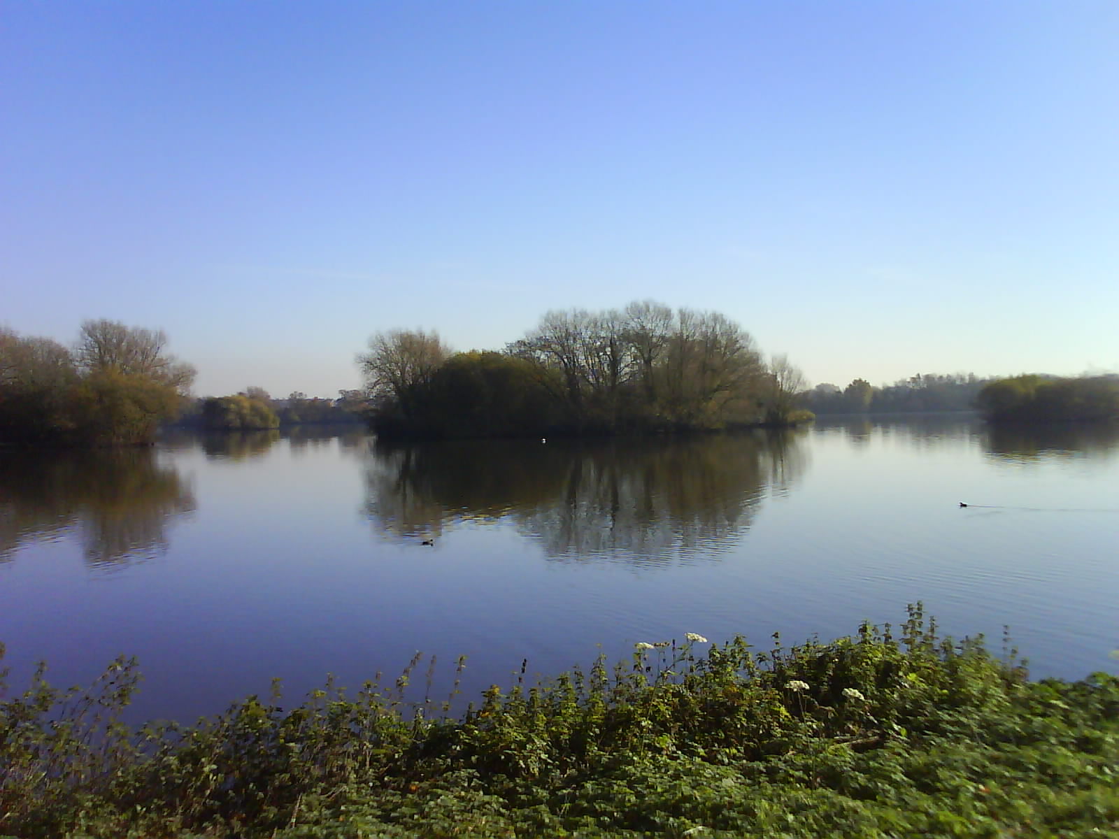
Moorash Pool, located in Warwickshire, is a serene and picturesque freshwater marsh encompassing an area of approximately 10 hectares. Situated amidst the beautiful countryside, this natural water feature offers a haven for a diverse range of flora and fauna.

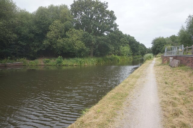
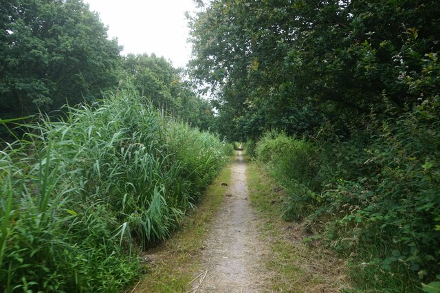
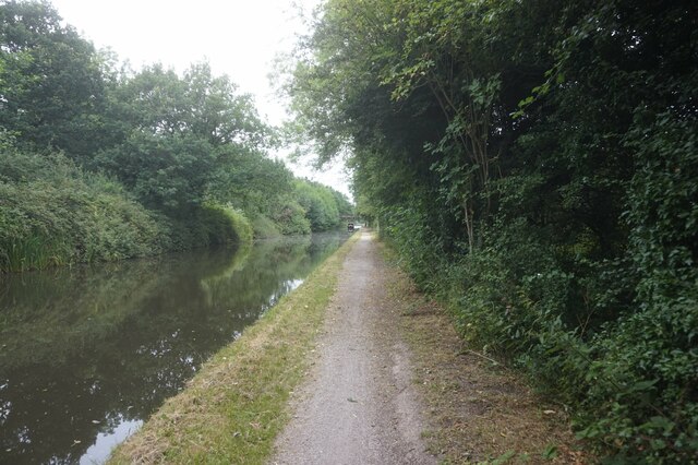
The pool itself is a shallow body of water, surrounded by lush vegetation, including reeds, water lilies, and various aquatic plants. These plants not only provide a stunning visual display but also serve as a vital habitat for a plethora of wildlife species.

Birdwatchers are particularly drawn to Moorash Pool due to its reputation as a birding hotspot. The tranquil environment attracts a wide variety of avian visitors, including herons, kingfishers, coots, moorhens, and ducks. Birdsong fills the air as these feathered creatures effortlessly glide across the water.

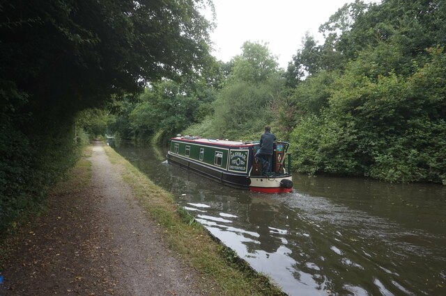
Aside from its avian inhabitants, Moorash Pool is also home to an array of aquatic life. This includes fish species such as perch, roach, and bream, which thrive in the pool's nutrient-rich waters. Visitors may occasionally spot these fish swimming near the surface or catch glimpses of them as they dart among the vegetation.

Moorash Pool offers a serene and peaceful setting, making it a popular destination for nature enthusiasts and photographers alike. Its tranquil ambiance, combined with the rich biodiversity it supports, make it an ideal location for those seeking solace and a chance to immerse themselves in the wonders of the natural world.

If you have any feedback on the listing, please let us know in the comments section below.
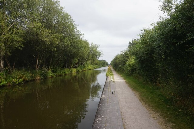
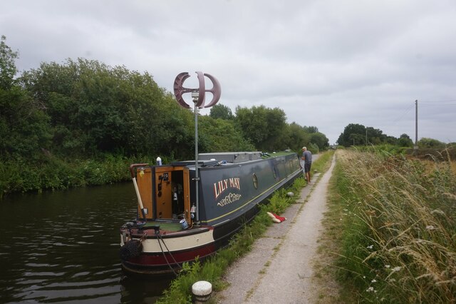
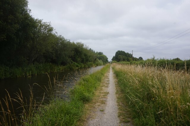
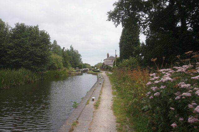
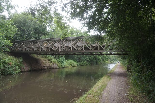
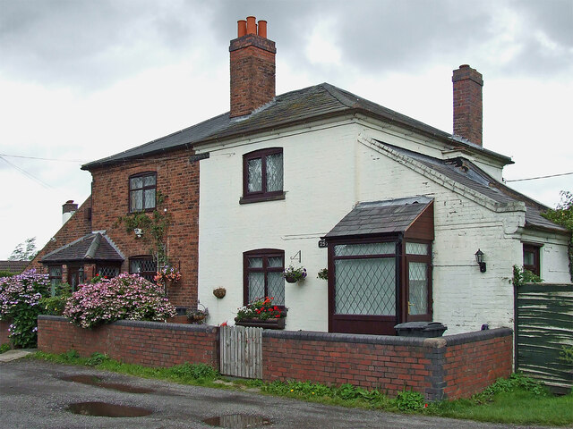
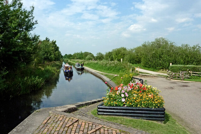
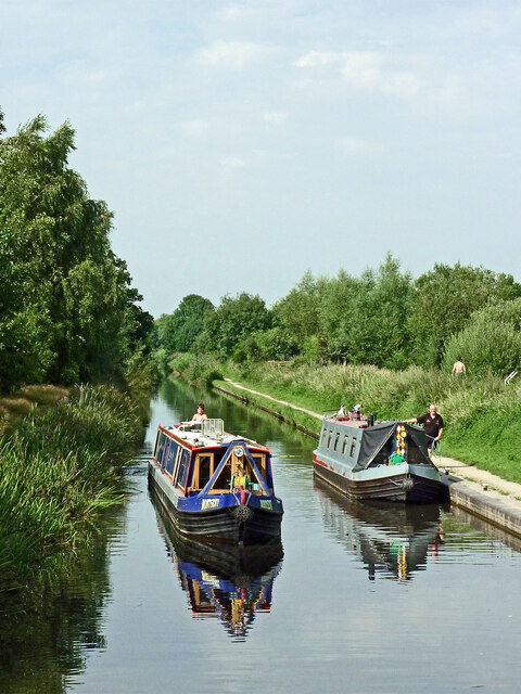
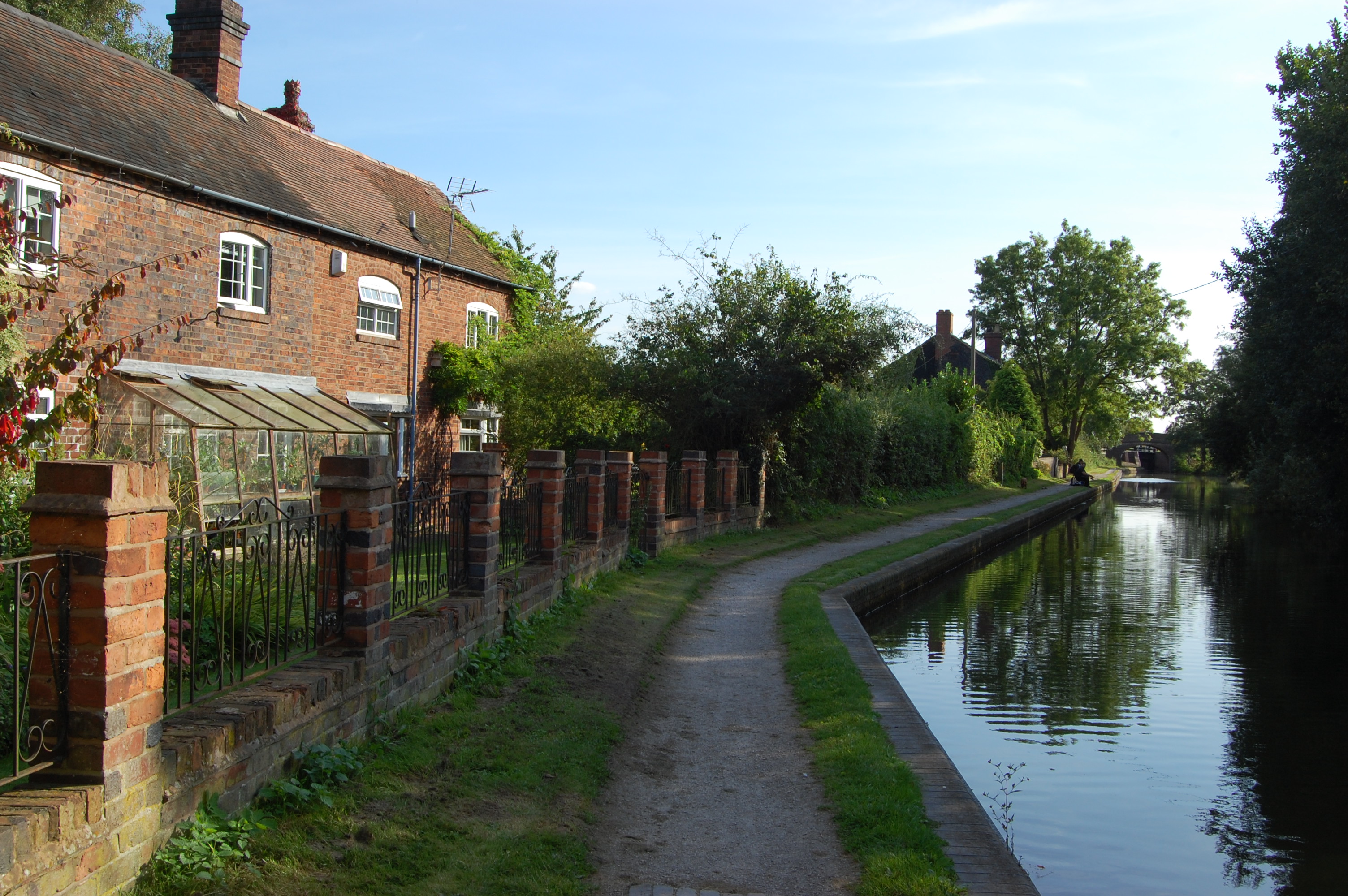
Moorash Pool Images

Images are sourced within 2km of 52.567071/-1.6992705 or Grid Reference SP2096. Thanks to Geograph Open Source API. All images are credited.

Birmingham & Fazeley Canal at Curdworth Lock #10
Canal boat Lily May, Birmingham & Fazeley Canal
Birmingham & Fazeley Canal towards Curdworth Lock #11
Birmingham & Fazeley Canal at Curdworth Lock #11 Curdworth Bottom Lock.
Birmingham & Fazeley Canal at Curdworth Lock #11
Curdworth Bottom Lock.
Former lockkeepers cottages, Birmingham & Fazeley Canal
Birmingham & Fazeley Canal at Curdworth Lock #11
Canal boat Titanic II, Birmingham & Fazeley Canal
Birmingham & Fazeley Canal towards Gravel Pit Bridge
Canal boat Dashbar, Birmingham & Fazeley Canal
Birmingham & Fazeley Canal at Gravel Pit Bridge
Birmingham & Fazeley Canal towards Fisher's Mill Bridge
Lockside houses near Kingsbury, Warwickshire These are by Curdworth Bottom Lock (No 11), on the Birmingham and Fazeley Canal.
Lockside houses near Kingsbury, Warwickshire
These are by Curdworth Bottom Lock (No 11), on the Birmingham and Fazeley Canal.
Birmingham and Fazeley Canal near Kingsbury in Warwickshire This is the Birmingham and Fazeley Canal, looking north from Curdworth Bottom Lock, No 11. There are flooded gravel pits on both sides of the canal, the extensive Middleton Lakes RSPB Reserve being off to the right.
This view changed radically the year after this picture was taken. <a title="https://www.geograph.org.uk/photo/3677923" href="https://www.geograph.org.uk/photo/3677923">Link</a>
Birmingham and Fazeley Canal near Kingsbury in Warwickshire
This is the Birmingham and Fazeley Canal, looking north from Curdworth Bottom Lock, No 11. There are flooded gravel pits on both sides of the canal, the extensive Middleton Lakes RSPB Reserve being off to the right. This view changed radically the year after this picture was taken. Link
Birmingham and Fazeley Canal near Kingsbury in Warwickshire This is the Birmingham and Fazeley Canal, looking north from Curdworth Bottom Lock, No 11. There are flooded gravel pits on both sides of the canal, Kingsbury Water Park then the extensive Middleton Lakes RSPB Reserve being off to the right.

The Heart of England Way continues north along the towpath. <span class="nowrap"><a title="https://en.wikipedia.org/wiki/Heart_of_England_Way" rel="nofollow ugc noopener" href="https://en.wikipedia.org/wiki/Heart_of_England_Way">Link</a><img style="margin-left:2px;" alt="External link" title="External link - shift click to open in new window" src="https://s1.geograph.org.uk/img/external.png" width="10" height="10"/></span>

This view changed radically the year after this picture was taken. <a title="https://www.geograph.org.uk/photo/3677923" href="https://www.geograph.org.uk/photo/3677923">Link</a>
Birmingham and Fazeley Canal near Kingsbury in Warwickshire
This is the Birmingham and Fazeley Canal, looking north from Curdworth Bottom Lock, No 11. There are flooded gravel pits on both sides of the canal, Kingsbury Water Park then the extensive Middleton Lakes RSPB Reserve being off to the right. The Heart of England Way continues north along the towpath. LinkExternal link This view changed radically the year after this picture was taken. Link
Show me another place!

Moorash Pool is located at Grid Ref: SP2096 (Lat: 52.567071, Lng: -1.6992705)

Administrative County: Warwickshire

District: North Warwickshire

Police Authority: Warwickshire

What 3 Words

///redeemed.garage.punch. Near Kingsbury, Warwickshire

Related Wikis

Nearby Amenities

Located within 500m of 52.567071,-1.6992705
Barrier: lift_gate
Lat/Long: 52.5701312/-1.7011893
Railway: switch
Lat/Long: 52.564767/-1.6974323
Railway: switch
Lat/Long: 52.5641222/-1.6968549
Railway: switch
Lat/Long: 52.5638025/-1.6961338
Crossing Barrier: no
Railway: crossing
Lat/Long: 52.5650126/-1.6965198
Barrier: kissing_gate
Foot: yes
Lat/Long: 52.5680643/-1.7015093
Railway: switch
Lat/Long: 52.5643693/-1.6982707
Crossing Barrier: no
Railway: crossing
Lat/Long: 52.564449/-1.6974745
Crossing Barrier: no
Railway: crossing
Lat/Long: 52.5643553/-1.6974871
Picnic Junction
Disused Railway: station
Usage: tourism
Lat/Long: 52.5644936/-1.6977195
Seamark Type: gate
Waterway: lock_gate
Lat/Long: 52.5677305/-1.7064722
Far Leys Station
Light Rail: yes
Note: Officially opened 15 May 2010
Operator: Echills Wood Railway
Public Transport: stop_position
Railway: stop
Usage: tourism
Lat/Long: 52.5657273/-1.6933741
Railway: crossing
Lat/Long: 52.5657035/-1.6935284
Railway: switch
Lat/Long: 52.5661099/-1.6928316
Power: tower
Source: Bing
Lat/Long: 52.5643974/-1.6950702
Power: tower
Source: Bing
Lat/Long: 52.5668108/-1.6923149
Seamark Type: gate
Waterway: lock_gate
Lat/Long: 52.5679451/-1.706362
Barrier: kissing_gate
Lat/Long: 52.5708805/-1.6988885
Railway: crossing
Lat/Long: 52.5657414/-1.6931951
Power: pole
Lat/Long: 52.5679006/-1.7061833
Power: pole
Lat/Long: 52.5687088/-1.7057014
Leisure: playground
Lat/Long: 52.5689939/-1.7000979
Leisure: playground
Lat/Long: 52.5690425/-1.6997637
Power: pole
Lat/Long: 52.5695984/-1.7051849
Power: pole
Lat/Long: 52.5696261/-1.7043951
Power: pole
Lat/Long: 52.5696522/-1.7036425
Power: pole
Lat/Long: 52.5698041/-1.702814
Power: pole
Lat/Long: 52.5699518/-1.7019648
Power: pole
Lat/Long: 52.5701001/-1.7011248
Toilets
Lat/Long: 52.5703131/-1.7010062
Bicycle Parking
Lat/Long: 52.5703206/-1.6997022
Power: pole
Lat/Long: 52.5703345/-1.700272
Entrance: yes
Lat/Long: 52.5703359/-1.6995967
Entrance: yes
Lat/Long: 52.570369/-1.6996537
Bench
Lat/Long: 52.566689/-1.6929644
Bench
Backrest: yes
Material: wood
Lat/Long: 52.5645836/-1.6973918
Fixme: Not sure what this is
Flickr: https://www.flickr.com/photos/196297230@N06/53196826303/
Lat/Long: 52.5660264/-1.6926889
Railway: switch
Lat/Long: 52.5661519/-1.6928605
Railway: buffer_stop
Lat/Long: 52.5662118/-1.6932489
Railway: switch
Lat/Long: 52.5661869/-1.6929179
Railway: switch
Lat/Long: 52.5662032/-1.6929895
Railway: buffer_stop
Lat/Long: 52.5662014/-1.6932451
Railway: buffer_stop
Lat/Long: 52.5661916/-1.6932425
Crossing Bell: no
Crossing Light: no
Railway: crossing
Lat/Long: 52.5659702/-1.6927649
Railway: switch
Lat/Long: 52.5657029/-1.6935981
Railway: switch
Lat/Long: 52.5658576/-1.6928878
Crossing Bell: no
Crossing Light: no
Railway: crossing
Lat/Long: 52.5657882/-1.6932069
Railway: crossing
Lat/Long: 52.5657548/-1.693542
Railway: switch
Lat/Long: 52.5656655/-1.6938105
Railway: switch
Lat/Long: 52.5658123/-1.6929968
Railway: crossing
Lat/Long: 52.5657756/-1.6932056
Railway: crossing
Lat/Long: 52.5657434/-1.6935407
Railway: switch
Lat/Long: 52.5657175/-1.6937355
Railway: switch
Lat/Long: 52.5657677/-1.693121
Railway: crossing
Lat/Long: 52.5657473/-1.6931979
Railway: crossing
Lat/Long: 52.565712/-1.6935289
Crossing Barrier: no
Railway: crossing
Lat/Long: 52.5649933/-1.6965134
Railway: switch
Lat/Long: 52.5647124/-1.6974591
Railway: switch
Lat/Long: 52.5642746/-1.6972155
Railway: switch
Lat/Long: 52.5642945/-1.6972231
Railway: switch
Lat/Long: 52.5642897/-1.6972574
Railway: buffer_stop
Lat/Long: 52.5643245/-1.6973038
Railway: switch
Lat/Long: 52.5641358/-1.6968849
Railway: switch
Lat/Long: 52.5640996/-1.696799
Artwork Type: sculpture
Description: Two crocodiles
Flickr: https://www.flickr.com/photos/196297230@N06/53196673680
Material: wood
Tourism: artwork
Lat/Long: 52.5637179/-1.6960789
Picnic Green
Disused Railway: station
Usage: tourism
Lat/Long: 52.564233/-1.697118
Railway: buffer_stop
Lat/Long: 52.5634744/-1.6999123
Railway: switch
Lat/Long: 52.5626455/-1.6995884
Railway: switch
Lat/Long: 52.5626955/-1.6995923
Railway: switch
Lat/Long: 52.5626977/-1.6996252
Railway: switch
Lat/Long: 52.562715/-1.6996609
Railway: switch
Lat/Long: 52.5627021/-1.6995779
Railway: switch
Lat/Long: 52.5627897/-1.6996138
Railway: switch
Lat/Long: 52.5627663/-1.6995829
Railway: switch
Lat/Long: 52.5627181/-1.6995647
Railway: switch
Lat/Long: 52.5628261/-1.6995802
Railway: switch
Lat/Long: 52.5627213/-1.6993718
Railway: switch
Lat/Long: 52.5627319/-1.6993964
Railway: switch
Lat/Long: 52.5627179/-1.6993936
Railway: switch
Lat/Long: 52.562692/-1.699518
The data included in this document is from www.openstreetmap.org. The data is made available under ODbL.

Have you been to Moorash Pool?

Leave your review of Moorash Pool below (or comments, questions and feedback).