Whitten Pond
Lake, Pool, Pond, Freshwater Marsh in Hampshire New Forest
England
Whitten Pond
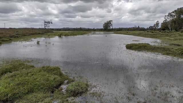
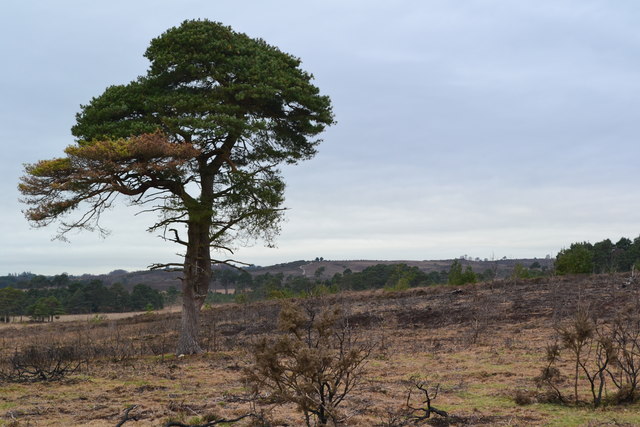
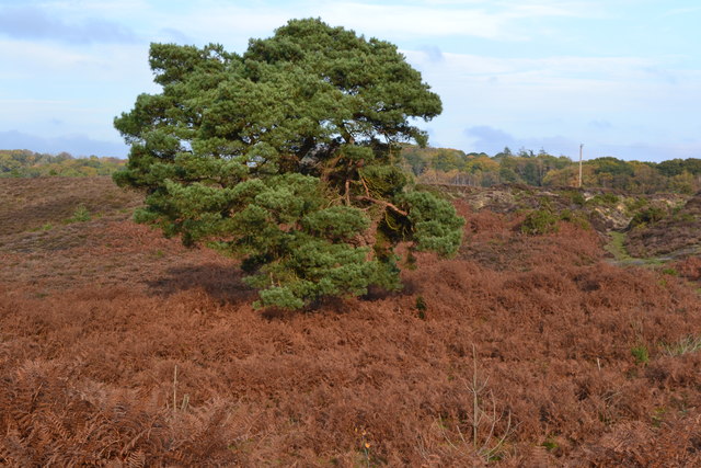
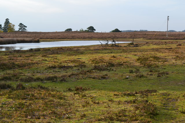
Whitten Pond is a picturesque freshwater pond located in Hampshire, England. Nestled amidst the rolling hills and lush greenery, it serves as a tranquil oasis for both locals and visitors alike. With its serene beauty and diverse ecosystem, it attracts nature enthusiasts and birdwatchers throughout the year.
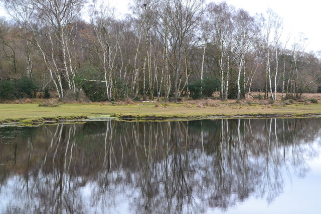
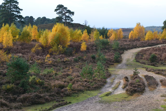
Covering an area of approximately 5 acres, Whitten Pond is surrounded by dense vegetation, including willow trees, reeds, and wildflowers. This creates a natural haven for a wide variety of bird species, such as herons, ducks, and swans, which can often be seen gracefully gliding across the water's surface. The pond is also home to several species of fish, including pike and perch, providing ample opportunities for angling enthusiasts.
The water in Whitten Pond is crystal clear and remains relatively still, making it a popular spot for swimming and recreational activities. The calmness of the water also allows for the formation of beautiful reflections, creating stunning vistas during sunrise and sunset.
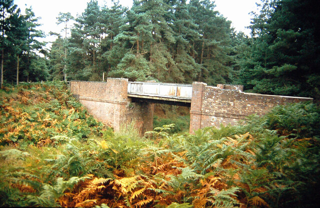
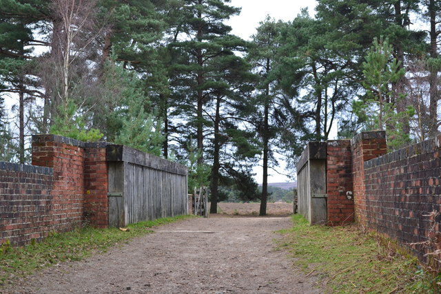
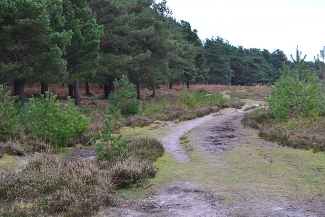
Whitten Pond is surrounded by well-maintained walking trails, offering visitors the chance to explore the surrounding area and soak in the natural beauty. These trails are especially popular during the spring and summer months when the pond is flanked by vibrant wildflowers and buzzing with the sounds of chirping birds and croaking frogs.
In conclusion, Whitten Pond is a captivating freshwater pond in Hampshire, offering a peaceful and idyllic setting for nature lovers. Its diverse ecosystem, calm waters, and surrounding trails make it a haven for wildlife, a recreational spot, and a place of tranquility for anyone seeking respite from the hustle and bustle of everyday life.
If you have any feedback on the listing, please let us know in the comments section below.
Whitten Pond Images
Images are sourced within 2km of 50.810446/-1.711631 or Grid Reference SU2001. Thanks to Geograph Open Source API. All images are credited.


Whitten Pond is located at Grid Ref: SU2001 (Lat: 50.810446, Lng: -1.711631)
Administrative County: Hampshire
District: New Forest
Police Authority: Hampshire
What 3 Words
///crossings.handed.softly. Near Burley, Hampshire
Nearby Locations
Related Wikis

All Saints' Church, Thorney Hill
All Saints' Church is a Church of England church in Thorney Hill, Hampshire, England. It was built in 1905–06 and has been a Grade I listed building since...

Burley, Hampshire
Burley is a village and civil parish in the New Forest, Hampshire, England. It has ancient origins and is now somewhat tourist-orientated. == The village... ==

Avon Tyrrell House
Avon Tyrrell is an historic manor within the parish of Sopley, Hampshire. It is situated within the New Forest, near Christchurch. The present manor house...

RAF Holmsley South
Royal Air Force Holmsley South or more simply RAF Holmsley South is a former Royal Air Force station in Hampshire, England. The airfield is located approximately...

Castle Hill, Hampshire
Castle Hill is the site of an Iron Age univallate hillfort located in the civil parish of Burley in the New Forest national park in Hampshire, England...

Holmsley railway station
Holmsley is a closed railway station in the county of Hampshire which served rural settlements in the New Forest. == History == The station was opened...

Bagnum
Bagnum is a hamlet in the English county of Hampshire. The settlement is within the civil parish of Ringwood (where the 2011 Census was included), and...
Bransgore
Bransgore is a village and civil parish within the New Forest District, Hampshire, England. The village developed in the 19th century when a church and...
Nearby Amenities
Located within 500m of 50.810446,-1.711631Have you been to Whitten Pond?
Leave your review of Whitten Pond below (or comments, questions and feedback).