Longdoles Lake
Lake, Pool, Pond, Freshwater Marsh in Gloucestershire Cotswold
England
Longdoles Lake
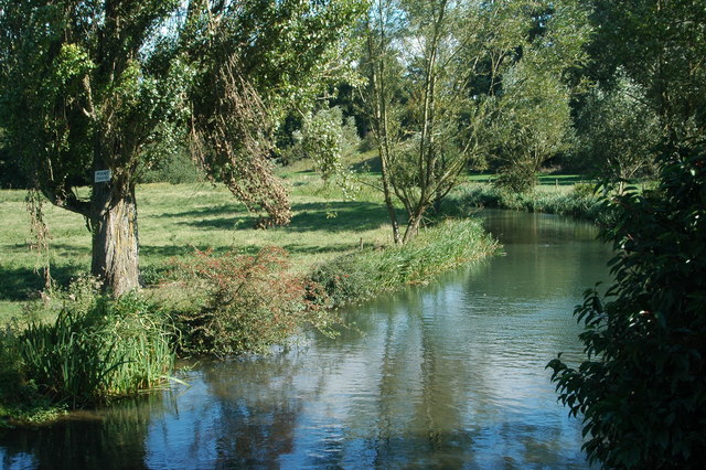
Longdoles Lake is a picturesque freshwater body located in the heart of Gloucestershire, England. Nestled amidst the scenic Cotswold countryside, this idyllic lake spans over 10 acres, making it a haven for nature enthusiasts and birdwatchers alike.
With its origins dating back to the late 18th century, Longdoles Lake has a rich history. Originally created as a reservoir to supply water to the nearby mill, it has evolved into a thriving ecosystem over the years. Surrounded by lush vegetation, the lake is home to a diverse range of flora and fauna.
The crystal-clear waters of Longdoles Lake provide a haven for various species of freshwater fish, including carp, roach, and perch. Anglers often flock to its banks to try their luck at catching these prized fish. Additionally, the lake serves as an important habitat for waterfowl, attracting a variety of bird species, including mallards, tufted ducks, and great crested grebes.
Longdoles Lake is also home to a freshwater marsh, which acts as a natural filtration system, ensuring the water remains clean and healthy. This marsh is a haven for a wide range of aquatic plants, providing a vital habitat for numerous invertebrates and amphibians.
Visitors to Longdoles Lake can enjoy several recreational activities, including walking, picnicking, and wildlife spotting. The lake is surrounded by well-maintained footpaths, offering breathtaking views of the surrounding countryside. Whether you're a nature lover or simply seeking tranquility, Longdoles Lake is a must-visit destination in Gloucestershire.
If you have any feedback on the listing, please let us know in the comments section below.
Longdoles Lake Images
Images are sourced within 2km of 51.69538/-1.7263893 or Grid Reference SU1999. Thanks to Geograph Open Source API. All images are credited.
![A figure of eight walk from Lechlade-on-Thames [4] After crossing the first of four drainage ditches, the path heads across the field towards the second ditch.
After leaving Lechlade, the route joins the long distance Thames and Severn Way and passes the southern edge of Bowmoor Lake. Turning north, and looping around the northern edge of the lake, the Thames and Severn Way is re-joined and followed to the banks of the River Thames and back to Lechlade. Slightly over 5 miles.](https://s1.geograph.org.uk/geophotos/07/26/33/7263329_9ba12c92.jpg)
![A figure of eight walk from Lechlade-on-Thames [5] The path approaches another footbridge over a drainage ditch.
After leaving Lechlade, the route joins the long distance Thames and Severn Way and passes the southern edge of Bowmoor Lake. Turning north, and looping around the northern edge of the lake, the Thames and Severn Way is re-joined and followed to the banks of the River Thames and back to Lechlade. Slightly over 5 miles.](https://s3.geograph.org.uk/geophotos/07/26/41/7264119_203e228a.jpg)
![A figure of eight walk from Lechlade-on-Thames [6] Near another bridge over a drainage ditch, the way is obstructed by this fallen tree.
After leaving Lechlade, the route joins the long distance Thames and Severn Way and passes the southern edge of Bowmoor Lake. Turning north, and looping around the northern edge of the lake, the Thames and Severn Way is re-joined and followed to the banks of the River Thames and back to Lechlade. Slightly over 5 miles.](https://s0.geograph.org.uk/geophotos/07/26/41/7264120_8a0bb31b.jpg)
![A figure of eight walk from Lechlade-on-Thames [7] The path now runs along the field edge.
After leaving Lechlade, the route joins the long distance Thames and Severn Way and passes the southern edge of Bowmoor Lake. Turning north, and looping around the northern edge of the lake, the Thames and Severn Way is re-joined and followed to the banks of the River Thames and back to Lechlade. Slightly over 5 miles.](https://s1.geograph.org.uk/geophotos/07/26/41/7264121_27a44cb8.jpg)
![A figure of eight walk from Lechlade-on-Thames [8] The path approaches the point where it joins the Thames and Severn Way.
After leaving Lechlade, the route joins the long distance Thames and Severn Way and passes the southern edge of Bowmoor Lake. Turning north, and looping around the northern edge of the lake, the Thames and Severn Way is re-joined and followed to the banks of the River Thames and back to Lechlade. Slightly over 5 miles.](https://s2.geograph.org.uk/geophotos/07/26/41/7264122_b7e2555a.jpg)
![A figure of eight walk from Lechlade-on-Thames [9] The path to Main Street leaves the track that is the Thames and Severn Way.
After leaving Lechlade, the route joins the long distance Thames and Severn Way and passes the southern edge of Bowmoor Lake. Turning north, and looping around the northern edge of the lake, the Thames and Severn Way is re-joined and followed to the banks of the River Thames and back to Lechlade. Slightly over 5 miles.](https://s3.geograph.org.uk/geophotos/07/26/41/7264123_4324e15f.jpg)
![A figure of eight walk from Lechlade-on-Thames [43] Now beyond the southern edge of the lake, the track continues with access to a property on the right.
After leaving Lechlade, the route joins the long distance Thames and Severn Way and passes the southern edge of Bowmoor Lake. Turning north, and looping around the northern edge of the lake, the Thames and Severn Way is re-joined and followed to the banks of the River Thames and back to Lechlade. Slightly over 5 miles.](https://s1.geograph.org.uk/geophotos/07/26/52/7265265_1600e270.jpg)
![A figure of eight walk from Lechlade-on-Thames [44] A property on the south side of the track.
After leaving Lechlade, the route joins the long distance Thames and Severn Way and passes the southern edge of Bowmoor Lake. Turning north, and looping around the northern edge of the lake, the Thames and Severn Way is re-joined and followed to the banks of the River Thames and back to Lechlade. Slightly over 5 miles.](https://s3.geograph.org.uk/geophotos/07/26/52/7265267_35ae6a48.jpg)
![A figure of eight walk from Lechlade-on-Thames [45] Looking back along the road.
After leaving Lechlade, the route joins the long distance Thames and Severn Way and passes the southern edge of Bowmoor Lake. Turning north, and looping around the northern edge of the lake, the Thames and Severn Way is re-joined and followed to the banks of the River Thames and back to Lechlade. Slightly over 5 miles.](https://s2.geograph.org.uk/geophotos/07/26/60/7266014_7ccd338b.jpg)
![A figure of eight walk from Lechlade-on-Thames [46] At this junction of paths, the route now heads south towards the confluence of the River Coln with the River Thames.
After leaving Lechlade, the route joins the long distance Thames and Severn Way and passes the southern edge of Bowmoor Lake. Turning north, and looping around the northern edge of the lake, the Thames and Severn Way is re-joined and followed to the banks of the River Thames and back to Lechlade. Slightly over 5 miles.](https://s3.geograph.org.uk/geophotos/07/26/60/7266015_db91a609.jpg)
![A figure of eight walk from Lechlade-on-Thames [47] The track gives access to leads to The Round House.
After leaving Lechlade, the route joins the long distance Thames and Severn Way and passes the southern edge of Bowmoor Lake. Turning north, and looping around the northern edge of the lake, the Thames and Severn Way is re-joined and followed to the banks of the River Thames and back to Lechlade. Slightly over 5 miles.](https://s0.geograph.org.uk/geophotos/07/26/60/7266016_33728d6f.jpg)
![A figure of eight walk from Lechlade-on-Thames [48] The public footpath veers to the left, the track continues to The Round House.
After leaving Lechlade, the route joins the long distance Thames and Severn Way and passes the southern edge of Bowmoor Lake. Turning north, and looping around the northern edge of the lake, the Thames and Severn Way is re-joined and followed to the banks of the River Thames and back to Lechlade. Slightly over 5 miles.](https://s1.geograph.org.uk/geophotos/07/26/60/7266017_e2af831d.jpg)
![A figure of eight walk from Lechlade-on-Thames [49] This bridge carries the track to The Round House over the River Coln.
Here the River Coln and the River Thames have their confluence and, between the rivers, the now disused Thames and Severn Canal comes to an end as it meets the river.
After leaving Lechlade, the route joins the long distance Thames and Severn Way and passes the southern edge of Bowmoor Lake. Turning north, and looping around the northern edge of the lake, the Thames and Severn Way is re-joined and followed to the banks of the River Thames and back to Lechlade. Slightly over 5 miles.](https://s2.geograph.org.uk/geophotos/07/26/60/7266018_b8ba8707.jpg)
![A figure of eight walk from Lechlade-on-Thames [50] This footbridge carries the long distance Thames and Severn Way over the River Thames. Here the River Coln and the River Thames have their confluence and, between the rivers, the now disused Thames and Severn Canal comes to an end as it joins the river.
After leaving Lechlade, the route joins the long distance Thames and Severn Way and passes the southern edge of Bowmoor Lake. Turning north, and looping around the northern edge of the lake, the Thames and Severn Way is re-joined and followed to the banks of the River Thames and back to Lechlade. Slightly over 5 miles.](https://s3.geograph.org.uk/geophotos/07/26/60/7266019_f4c5d9d6.jpg)
![A figure of eight walk from Lechlade-on-Thames [51] The Round House is set alongside the now disused Thames and Severn Canal where it comes to an end as it joins the River Thames. Seen from the path that is now both the Thames and Severn Way and The Thames Path. The Round House and the Round House Cottage are both listed, grade II, with details for The Round House at: <span class="nowrap"><a title="https://historicengland.org.uk/listing/the-list/list-entry/1089423" rel="nofollow ugc noopener" href="https://historicengland.org.uk/listing/the-list/list-entry/1089423">Link</a><img style="margin-left:2px;" alt="External link" title="External link - shift click to open in new window" src="https://s1.geograph.org.uk/img/external.png" width="10" height="10"/></span> and for Round House Cottage at: <span class="nowrap"><a title="https://historicengland.org.uk/listing/the-list/list-entry/1089424" rel="nofollow ugc noopener" href="https://historicengland.org.uk/listing/the-list/list-entry/1089424">Link</a><img style="margin-left:2px;" alt="External link" title="External link - shift click to open in new window" src="https://s1.geograph.org.uk/img/external.png" width="10" height="10"/></span>
After leaving Lechlade, the route joins the long distance Thames and Severn Way and passes the southern edge of Bowmoor Lake. Turning north, and looping around the northern edge of the lake, the Thames and Severn Way is re-joined and followed to the banks of the River Thames and back to Lechlade. Slightly over 5 miles.](https://s0.geograph.org.uk/geophotos/07/26/60/7266020_4f023a98.jpg)
![A figure of eight walk from Lechlade-on-Thames [52] The path, both the Thames and Severn Way and The Thames Path, runs alongside the River Thames towards Lechlade.
After leaving Lechlade, the route joins the long distance Thames and Severn Way and passes the southern edge of Bowmoor Lake. Turning north, and looping around the northern edge of the lake, the Thames and Severn Way is re-joined and followed to the banks of the River Thames and back to Lechlade. Slightly over 5 miles.](https://s1.geograph.org.uk/geophotos/07/26/60/7266021_c8c87121.jpg)
Longdoles Lake is located at Grid Ref: SU1999 (Lat: 51.69538, Lng: -1.7263893)
Administrative County: Gloucestershire
District: Cotswold
Police Authority: Gloucestershire
What 3 Words
///rushed.reworked.cheeses. Near Lechlade, Gloucestershire
Nearby Locations
Related Wikis
River Coln
The River Coln is a river in Gloucestershire, England. It rises to the north of Brockhampton, a village to the east of Cheltenham, and flows in a south/south...
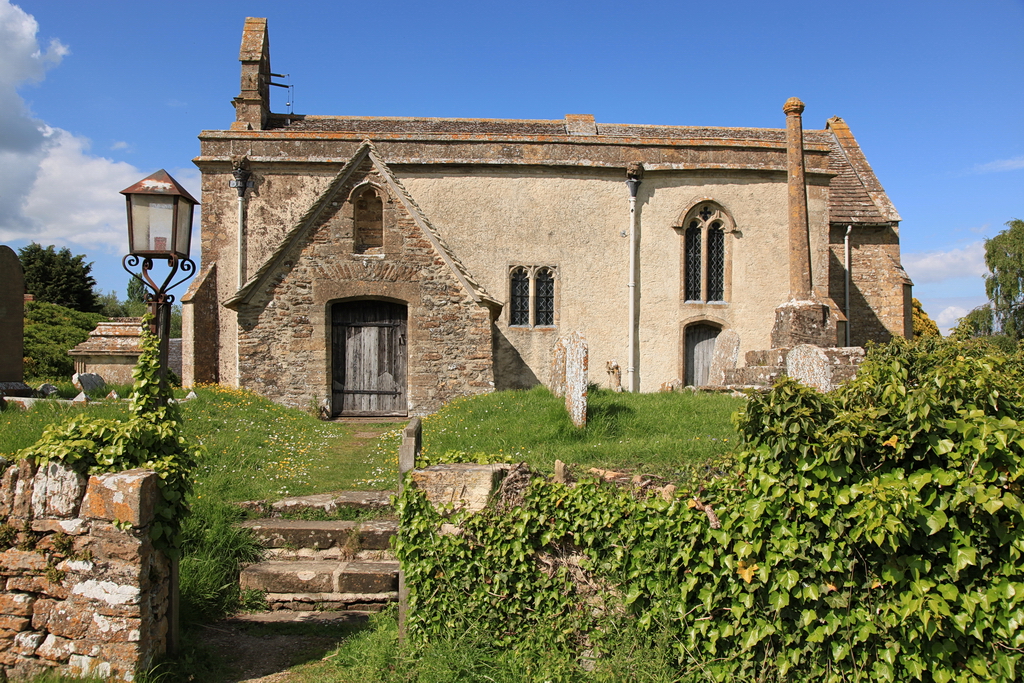
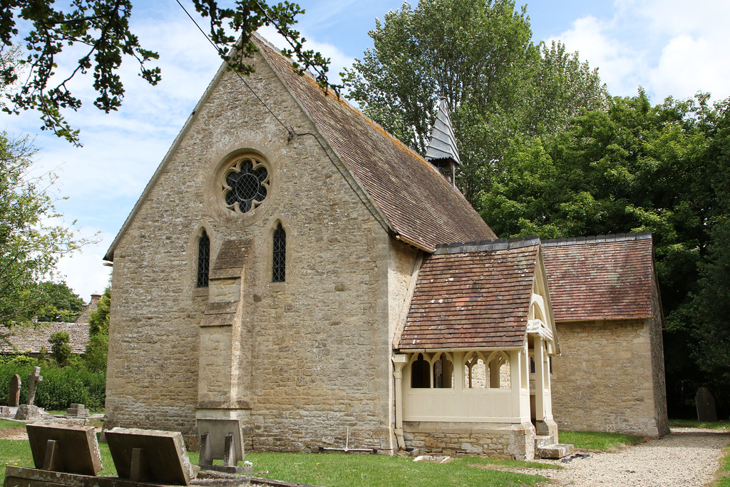
St John the Baptist Church, Inglesham
St John the Baptist Church in Inglesham, near Swindon, Wiltshire, England, has Anglo-Saxon origins but most of the current structure was built around 1205...
Inglesham
Inglesham is a small village and civil parish in the Borough of Swindon, Wiltshire, England, notable for the Grade-I listed St John the Baptist Church...

Whelford Meadow
Whelford Meadow (grid reference SP168000) is a 1.86-hectare (4.6-acre) biological Site of Special Scientific Interest in Gloucestershire, England, notified...
Whelford
Whelford is a village in the civil parish of Kempsford, in the Cotswold district, in the county of Gloucestershire, England. Whelford lies in the Cotswold...

Thames meander
Thames meander refers to a long-distance journey over all or part of the River Thames in England. Walking the Thames Path is itself a meander, but the...

Halfpenny Bridge
Halfpenny Bridge is a bridge across the River Thames, at Lechlade, Gloucestershire, England. The bridge and its toll house are a Grade II listed building...
Lechlade
Lechlade () is a town at the edge of the Cotswolds in Gloucestershire, England, 55 miles (89 km) south of Birmingham and 68 miles (109 km) west of London...
Related Videos

Holiday Air '87
Simon Groom and John Hutchinson present coverage of the Royal International Air Tattoo at RAF Fairford in 1987. Warning: ...

Family Fishing Holiday at Whelford Pools
In this video Foxy and the family head down to the Cotswolds to stay in Heron cottage at Whelford Pools Fishery. We stayed from ...

(4K) Embraer ERJ-145EP from BAE Systems Corporate Travel G-OWTN arrival RAF Fairford RIAT 2022
(4K) Embraer ERJ-145EP from BAE Systems Corporate Travel arrival at RAF Fairford RIAT 2022 Reg.: G-OWTN MSN.: 145010 ...

The Carters - Family Fishing Holiday 2022 - Whelford Pools Fishery
Our First ever family fishing holiday to Whelford Pools Fishery, also known as the "carpswolds". We stayed in Heron for 3 nights in ...
Nearby Amenities
Located within 500m of 51.69538,-1.7263893Have you been to Longdoles Lake?
Leave your review of Longdoles Lake below (or comments, questions and feedback).