Horse Dub
Lake, Pool, Pond, Freshwater Marsh in Yorkshire Harrogate
England
Horse Dub
Horse Dub, located in Yorkshire, is a picturesque freshwater body encompassing a range of aquatic ecosystems, including a lake, pool, pond, and freshwater marsh. The site is a haven for wildlife enthusiasts and nature lovers alike.
The lake at Horse Dub is a prominent feature, known for its calm waters and expansive surface area. It offers stunning panoramic views of the surrounding landscape and is often home to an array of waterfowl species, including ducks and geese, which can be observed gracefully gliding across the water.
Adjacent to the lake is a smaller pool, offering a more intimate setting. This pool is often teeming with aquatic plants and provides a serene environment for a variety of fish species, such as perch and roach, to thrive.
A charming pond can also be found within the vicinity of Horse Dub. This smaller water body supports a diverse range of amphibians, including frogs and newts, and is a popular spot for local wildlife enthusiasts to observe these fascinating creatures.
Finally, Horse Dub boasts a freshwater marsh, characterized by its lush vegetation and unique wetland habitat. This marsh is home to numerous plant species, such as reeds and sedges, providing a habitat for a variety of bird species, including herons and warblers.
Overall, Horse Dub in Yorkshire offers a diverse range of aquatic environments, making it a haven for birds, fish, and amphibians. Its combination of a lake, pool, pond, and freshwater marsh provides a unique and rich ecosystem, attracting nature enthusiasts from near and far.
If you have any feedback on the listing, please let us know in the comments section below.
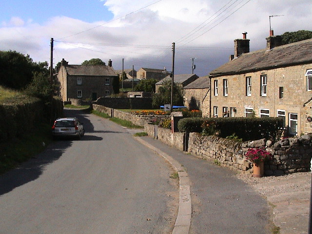
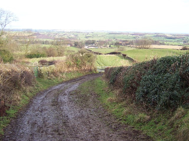
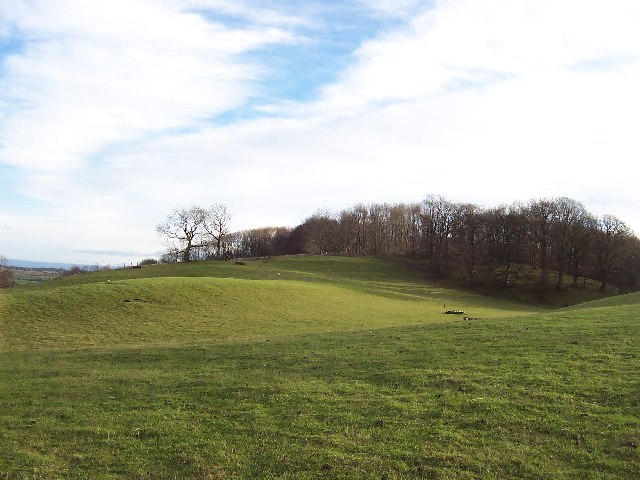
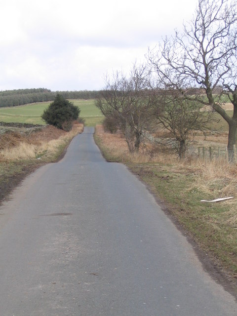
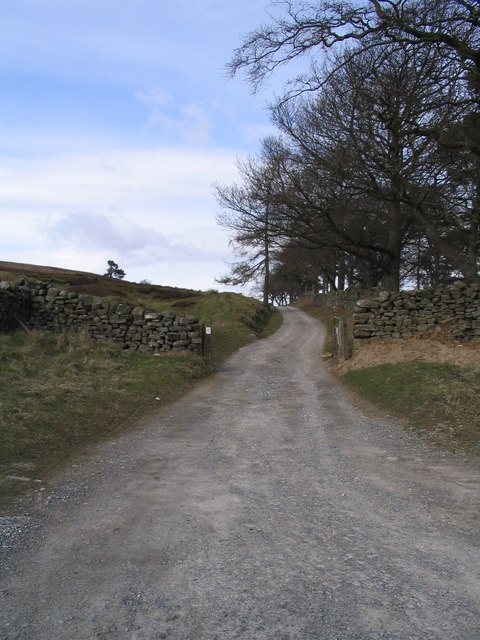
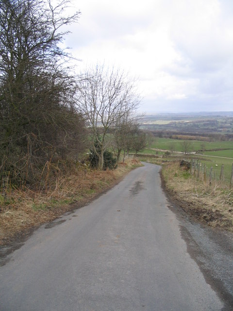
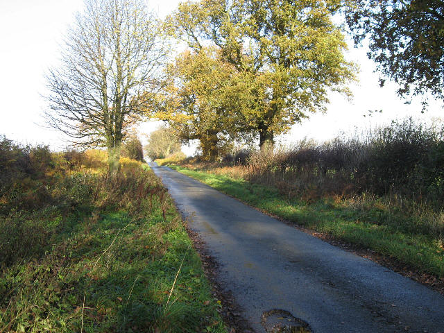
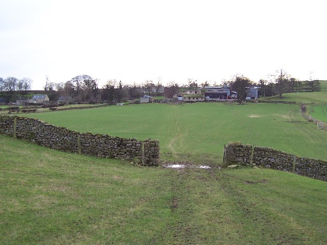
Horse Dub Images
Images are sourced within 2km of 54.244838/-1.7308227 or Grid Reference SE1783. Thanks to Geograph Open Source API. All images are credited.


Horse Dub is located at Grid Ref: SE1783 (Lat: 54.244838, Lng: -1.7308227)
Division: North Riding
Administrative County: North Yorkshire
District: Harrogate
Police Authority: North Yorkshire
What 3 Words
///mural.burst.passion. Near Masham, North Yorkshire
Nearby Locations
Related Wikis

Ellingstring
Ellingstring is a village and civil parish in Wensleydale in North Yorkshire, England, about 5 miles (8 km) south-east of Leyburn, and 3.5 miles (5.6 km...
High Ellington
High Ellington is a village in lower Wensleydale in North Yorkshire, England, about 2.5 miles (4 km) north-west of Masham. The smaller village of Low...
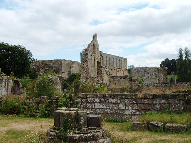
Jervaulx Abbey
Jervaulx Abbey in East Witton in North Yorkshire, 14 mi (23 km) north-west of the city of Ripon, was one of the great Cistercian abbeys of Yorkshire, England...
Low Ellington
Low Ellington is a small village in lower Wensleydale in North Yorkshire, England about 2 miles (3.2 km) north-west of Masham. It is 0.5 miles (0.80 km...

Healey, North Yorkshire
Healey is a small village and civil parish in the Harrogate district of North Yorkshire, England. It is situated in the valley of the River Burn, to the...

Fearby
Fearby is a village and civil parish in North Yorkshire, England. It is located in the valley of the River Burn 2 miles (3 km) west of Masham. Nearby settlements...

Gollinglith Foot
Gollinglith Foot (GOWN-li FOOT), historically also spelt Gownley Foot, is a hamlet in the civil parish of Healey in the Harrogate district of North Yorkshire...

Colsterdale Light Railway
The Colsterdale Light Railway (CLR) was a narrow-gauge railway line in Colsterdale, North Yorkshire, England. It was built between 1903 and 1905 to allow...
Nearby Amenities
Located within 500m of 54.244838,-1.7308227Have you been to Horse Dub?
Leave your review of Horse Dub below (or comments, questions and feedback).