Guisecliff Tarn

Lake, Pool, Pond, Freshwater Marsh in Yorkshire Harrogate

England

Guisecliff Tarn

Riverside path
Riverside path Credit: don cload

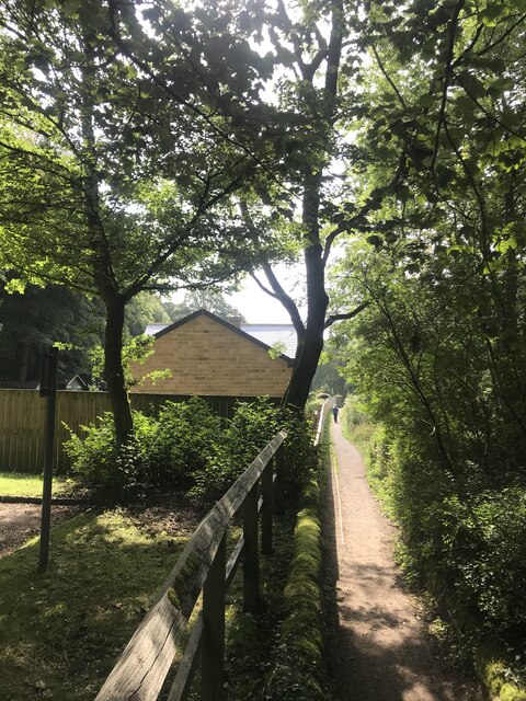
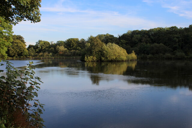
Guisecliff Tarn, located in Yorkshire, England, is a picturesque freshwater lake nestled within the scenic landscape of the Yorkshire Dales National Park. This tranquil tarn, also referred to as a pool or pond, is a hidden gem for nature enthusiasts and visitors seeking tranquility.

The tarn is situated amidst rolling hills and offers stunning panoramic views of the surrounding countryside. It covers an area of approximately 6 acres and is fed by a combination of natural springs and rainfall runoff, ensuring a constant supply of freshwater. The water in Guisecliff Tarn is pristine and crystal clear, with a distinct greenish hue caused by the presence of submerged aquatic plants.

Surrounded by lush vegetation and a variety of trees, the tarn provides a habitat for numerous species of wildlife. The banks of the tarn are adorned with reeds and rushes, attracting a diverse range of birds such as herons, kingfishers, and ducks. The surrounding marshland is also home to amphibians like frogs and newts, as well as a myriad of insects.

The tarn offers opportunities for outdoor activities such as fishing, with anglers often attracted to its shores in search of brown trout, which thrive in its cool waters. Additionally, the tranquil atmosphere and breathtaking scenery make Guisecliff Tarn an ideal spot for picnics, leisurely walks, and photography.

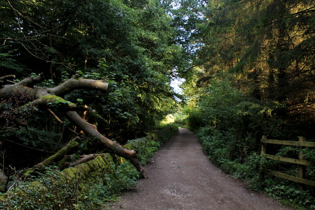
Access to Guisecliff Tarn is relatively easy, with a nearby car park and well-maintained footpaths leading visitors to its shores. Its secluded location and unspoiled beauty make it a popular destination for those seeking a peaceful retreat in the heart of Yorkshire's natural splendor.

If you have any feedback on the listing, please let us know in the comments section below.

Guisecliff Tarn Images

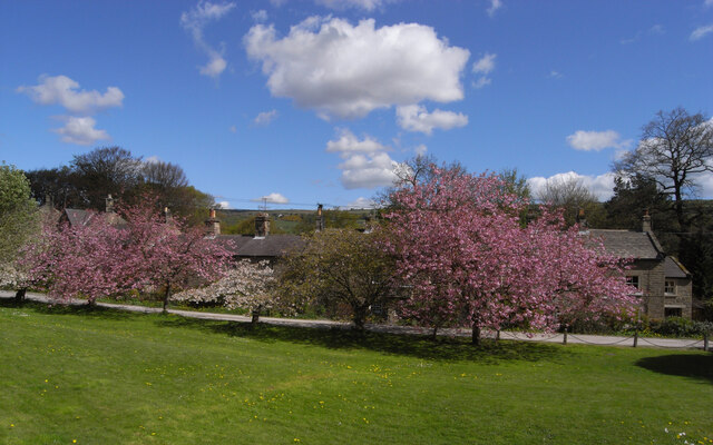
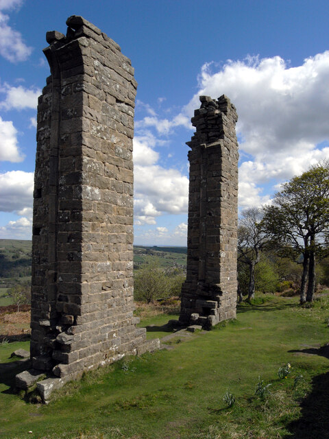
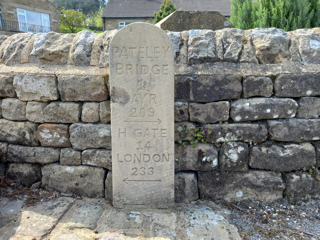
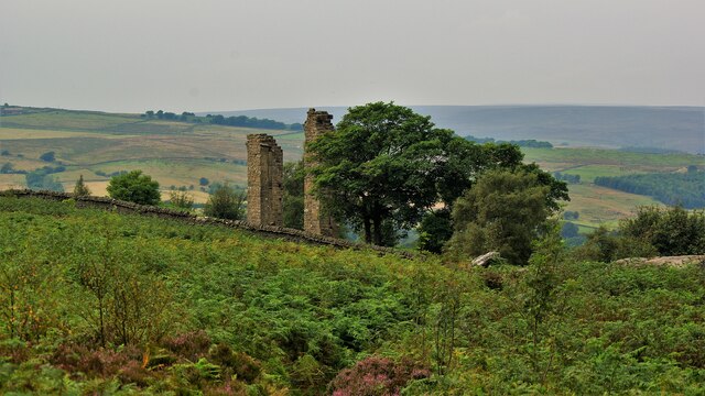
Images are sourced within 2km of 54.067557/-1.7456144 or Grid Reference SE1663. Thanks to Geograph Open Source API. All images are credited.

Riverside path
Riverside path
Glasshouses Mill Former large flax mill located beside the River Nidd.
Much has changed since my last visit, where there was an air of dilapidation about the place. The buildings have seen  major sympathetic renovation, and conversion into apartments and living accommodation.
Grade II Listed.
<a href="https://www.geograph.org.uk/photo/289857">SE1764 : The Mill, Glasshouses</a>
Glasshouses Mill
Former large flax mill located beside the River Nidd. Much has changed since my last visit, where there was an air of dilapidation about the place. The buildings have seen major sympathetic renovation, and conversion into apartments and living accommodation. Grade II Listed. SE1764 : The Mill, Glasshouses
Glasshouses Mill Dam Created out of the River Nidd in the 1850's, to supply water to the Glasshouses Flax Mill - just downstream from here.
The mill has now been converted into living accommodation, while the artificial lake is the preserve of water fowl and the odd angler.
Glasshouses Mill Dam
Created out of the River Nidd in the 1850's, to supply water to the Glasshouses Flax Mill - just downstream from here. The mill has now been converted into living accommodation, while the artificial lake is the preserve of water fowl and the odd angler.
Footpath heading towards Glasshouses Follows the River Nidd from Pateley Bridge - at this point sandwiched between a redundant mill race and a fish farm.
Footpath heading towards Glasshouses
Follows the River Nidd from Pateley Bridge - at this point sandwiched between a redundant mill race and a fish farm.
The Village Green, Bewerley
Yorke's Folly
Yorke's Folly
Bewerley, bridge There is a benchmark cut into the western parapet of the bridge on the lowest course of stone.
Bewerley, bridge
There is a benchmark cut into the western parapet of the bridge on the lowest course of stone.
Bewerley, bridge There is a benchmark cut into the western parapet of the bridge on the lowest course of stone.
Bewerley, bridge
There is a benchmark cut into the western parapet of the bridge on the lowest course of stone.
Old milepost This milepost, one of several still by the roadside on roads radiating out of Ripon, was cast at the foundry of J Ingram in Ripon.  In 2005 it was found by a Milestone Society member under a pile of grit salt.   It was dug up, set further back nearer the wall and repainted.  The Ripon and Pateley Bridge turnpike was first enacted in 1756 and lasted until the third quarter of the 19C so these posts may have been set up from the middle of the 19C.
Old milepost
This milepost, one of several still by the roadside on roads radiating out of Ripon, was cast at the foundry of J Ingram in Ripon. In 2005 it was found by a Milestone Society member under a pile of grit salt. It was dug up, set further back nearer the wall and repainted. The Ripon and Pateley Bridge turnpike was first enacted in 1756 and lasted until the third quarter of the 19C so these posts may have been set up from the middle of the 19C.
Modern Waymarker, Bewerley On the West side of an unclassified road, installed since July 2011.

Inscription: Pateley / Bridge / 1 / Ayr / 209 / ⇨ / H Gate / 14 / London / 233 / ⇦

Milestone Society National ID: YN_HGPB15N
Modern Waymarker, Bewerley
On the West side of an unclassified road, installed since July 2011. Inscription: Pateley / Bridge / 1 / Ayr / 209 / ⇨ / H Gate / 14 / London / 233 / ⇦ Milestone Society National ID: YN_HGPB15N
Yorke's Folly A Georgian eye-catcher on Guyscliffe (Guise Cliff) for Mr Yorke from his home in Bewerley
Yorke's Folly
A Georgian eye-catcher on Guyscliffe (Guise Cliff) for Mr Yorke from his home in Bewerley
Bewerley, Bridgehouse Gate wall The benchmark is cut into the roadside wall on the north side of the lane.
Bewerley, Bridgehouse Gate wall
The benchmark is cut into the roadside wall on the north side of the lane.
Bewerley, Bridgehouse  Gate There is a benchmark cut into the roadside wall on the north side of the lane.
Bewerley, Bridgehouse Gate
There is a benchmark cut into the roadside wall on the north side of the lane.
Bewerley, Peat Lane gatepost The benchmark is cut into a gatepost to the property Croft Cottage on the south side of the lane.
Bewerley, Peat Lane gatepost
The benchmark is cut into a gatepost to the property Croft Cottage on the south side of the lane.
Bewerley, Croft Cottage There is a benchmark cut into the left hand stone gatepost to the property Croft Cottage which is on the south side of Peat Lane.
Bewerley, Croft Cottage
There is a benchmark cut into the left hand stone gatepost to the property Croft Cottage which is on the south side of Peat Lane.
Bewerley, Peat Lane The benchmark is cut into a boulder on the north side of the lane.
Bewerley, Peat Lane
The benchmark is cut into a boulder on the north side of the lane.
Bewerley, Peat Lane The small boulder which can be seen at the edge of the left hand side of the road, just in the shadows, has a benchmark cut into its surface.
Bewerley, Peat Lane
The small boulder which can be seen at the edge of the left hand side of the road, just in the shadows, has a benchmark cut into its surface.
Bewerley, Peat Lane There is a benchmark cut into a house on the north side of the lane.
Bewerley, Peat Lane
There is a benchmark cut into a house on the north side of the lane.
Show me another place!

Guisecliff Tarn is located at Grid Ref: SE1663 (Lat: 54.067557, Lng: -1.7456144)

Division: West Riding

Administrative County: North Yorkshire

District: Harrogate

Police Authority: North Yorkshire

What 3 Words

///arranges.committed.nimbly. Near Pateley Bridge, North Yorkshire

Related Wikis

Glasshouses, North Yorkshire

Glasshouses is a small village in Nidderdale, North Yorkshire, England. It lies 1 mile (1.6 km) south-east of Pateley Bridge on the east side of Nidderdale...

Bewerley

Bewerley is a village and civil parish in the Harrogate district of North Yorkshire, England, about twelve miles west of Ripon. The parish includes the...

Wilsill

Wilsill is a village in Nidderdale in the Harrogate district of North Yorkshire, England. It is about 2 miles (3 km) east of Pateley Bridge on the B6165...

Pateley Bridge railway station

Pateley Bridge railway station is a disused railway station in North Yorkshire, England. The station was the terminating station on the North Eastern Railway...

Pateley Bridge

Pateley Bridge (known locally as Pateley) is a market town in Nidderdale in the county and district of North Yorkshire, England. Historically part of the...

Nidderdale AONB

The Nidderdale AONB is an Area of Outstanding Natural Beauty in North Yorkshire, England, bordering the Yorkshire Dales National Park to the east and south...

Nidderdale

Nidderdale, historically also known as Netherdale, is one of the Yorkshire Dales (although outside the Yorkshire Dales National Park) in North Yorkshire...

Pateley Playhouse

The Pateley Playhouse is a small amateur-run theatre in the town of Pateley Bridge in Nidderdale, North Yorkshire, England. The building was initially...

Nearby Amenities

Located within 500m of 54.067557,-1.7456144
Hollin House Mill
Description: "Corn & Bobbins" mill. Source: OS 1849-50 survey
Historic: archaeological_site
Source: OS 1854 sheet 135
Lat/Long: 54.0707504/-1.7405748
Barrier: stile
Lat/Long: 54.0707208/-1.7510574
The data included in this document is from www.openstreetmap.org. The data is made available under ODbL.

Have you been to Guisecliff Tarn?

Leave your review of Guisecliff Tarn below (or comments, questions and feedback).