The Goit
Lake, Pool, Pond, Freshwater Marsh in Yorkshire
England
The Goit
The Goit is a man-made watercourse located in Yorkshire, England. It is often referred to as a lake, pool, pond, or freshwater marsh due to its unique characteristics. The Goit was constructed in the 19th century as part of the industrial revolution and served as a vital water source for the nearby mills and factories.
Spanning approximately 2 miles in length, The Goit winds its way through picturesque countryside, creating a serene and tranquil atmosphere. It is surrounded by lush vegetation, including reeds, rushes, and water lilies, which contribute to its diverse ecosystem. The water is crystal clear and teeming with various aquatic life, such as fish, frogs, and waterfowl.
The Goit also plays a crucial role in flood prevention, as it has been designed to divert excess water during heavy rainfall, protecting the surrounding areas from potential damage. Its well-maintained banks and pathways make it easily accessible for visitors, who can enjoy leisurely walks and birdwatching opportunities.
The Goit is not only a haven for wildlife but also a popular spot for recreational activities. Local residents and tourists often engage in fishing, boating, and picnicking along its banks. The peaceful ambiance and stunning natural beauty make it an ideal location for relaxation and unwinding from the hustle and bustle of everyday life.
Overall, The Goit is a remarkable man-made watercourse that combines both functionality and natural beauty. Its historical significance, ecological diversity, and recreational opportunities make it a cherished asset of the Yorkshire region.
If you have any feedback on the listing, please let us know in the comments section below.
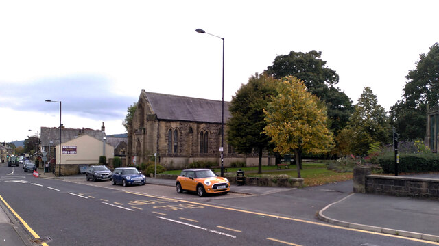
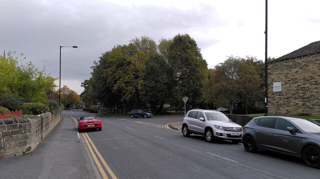
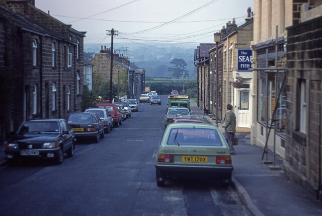
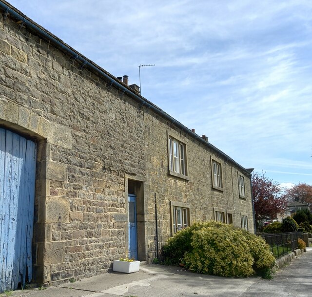
The Goit Images
Images are sourced within 2km of 53.920045/-1.7474399 or Grid Reference SE1647. Thanks to Geograph Open Source API. All images are credited.


The Goit is located at Grid Ref: SE1647 (Lat: 53.920045, Lng: -1.7474399)
Division: West Riding
Unitary Authority: Bradford
Police Authority: West Yorkshire
What 3 Words
///tulip.baked.originals. Near Burley in Wharfedale, West Yorkshire
Nearby Locations
Related Wikis

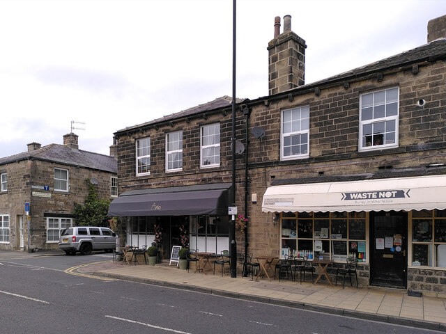
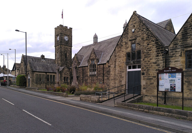
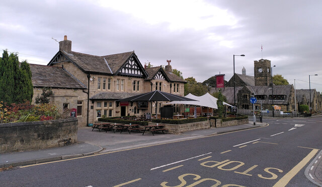
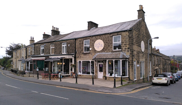
Burley in Wharfedale
Burley in Wharfedale is a village and civil parish in West Yorkshire, England, in the Wharfedale valley. In 2011, it had a population of 7,041. The village...

Askwith
Askwith is a village and civil parish in North Yorkshire, England, with a population of 220 (2001 census), increasing to 240 at the 2011 Census. The village...

Weston, North Yorkshire
Weston is a village and civil parish in the former Harrogate district of North Yorkshire, England. The village is 1.2 miles (2 km) north–west of Otley...

Weston Hall, Yorkshire
Weston Hall is a country house and Grade I listed building in Weston, North Yorkshire, England. == History and architecture == The house has been in the...

Burley-in-Wharfedale railway station
Burley-in-Wharfedale railway station serves the village of Burley in Wharfedale in West Yorkshire, England, in the City of Bradford. The station lies on...

Scalebor Park Hospital
Scalebor Park Hospital was a mental health facility at Burley in Wharfedale in West Yorkshire, England. == History == The hospital, which was designed...
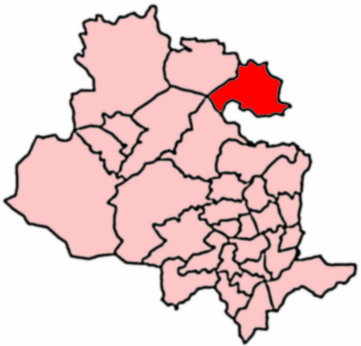
Wharfedale (ward)
Wharfedale is a ward in the north east of the City of Bradford Metropolitan District Council in West Yorkshire, England and is situated in Wharfedale...

Denton Hall, Wharfedale
Denton Hall is an English country house located to the north of the River Wharfe, at Denton, Borough of Harrogate, North Yorkshire, England between Otley...
Nearby Amenities
Located within 500m of 53.920045,-1.7474399Have you been to The Goit?
Leave your review of The Goit below (or comments, questions and feedback).