Reva Reservoir

Lake, Pool, Pond, Freshwater Marsh in Yorkshire

England

Reva Reservoir

Potter Brow Road, Baildon Moor
Potter Brow Road, Baildon Moor Credit: habiloid

Reva Reservoir is a man-made freshwater body located in Yorkshire, England. The reservoir was created in the late 19th century to provide drinking water for the surrounding area. It covers an area of approximately 20 acres and has a maximum depth of around 20 feet.

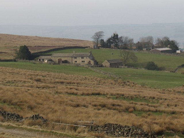
Surrounded by lush greenery and rolling hills, Reva Reservoir is a popular spot for outdoor enthusiasts looking to enjoy activities such as fishing, birdwatching, and hiking. The reservoir is home to a variety of fish species, including perch, roach, and carp, making it a popular destination for anglers.

The calm waters of Reva Reservoir also attract a variety of bird species, making it a great spot for birdwatching. Visitors may spot ducks, swans, and herons along the shoreline, as well as other waterfowl species.

Overall, Reva Reservoir offers a peaceful and scenic escape from the hustle and bustle of city life, making it a popular destination for nature lovers and outdoor enthusiasts alike.

If you have any feedback on the listing, please let us know in the comments section below.

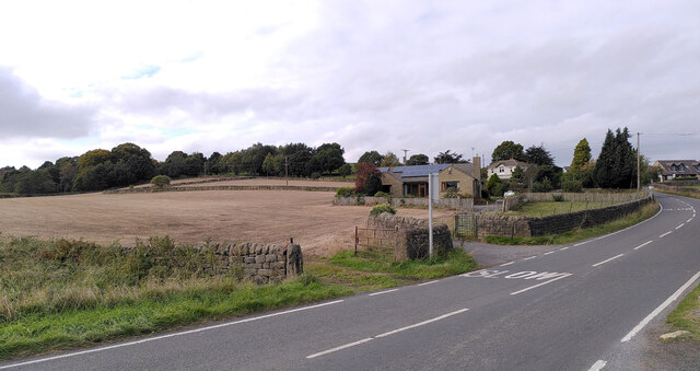
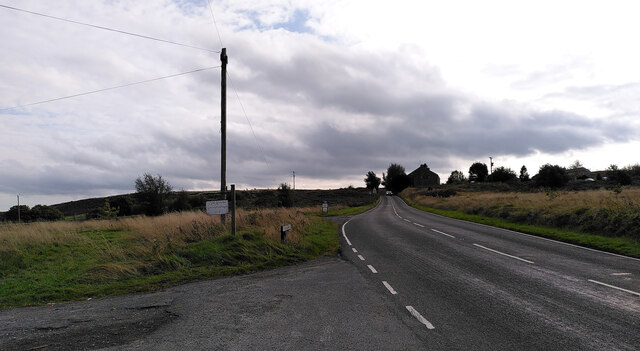
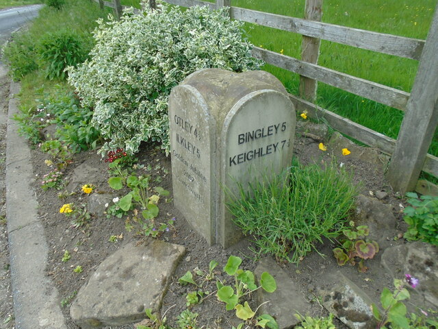
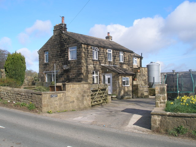
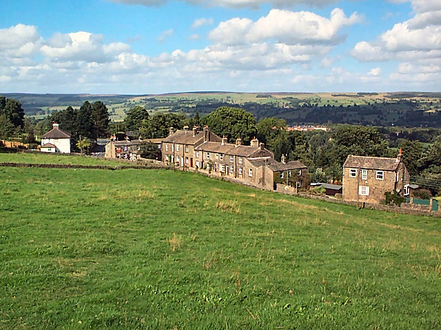
Reva Reservoir Images

Images are sourced within 2km of 53.880035/-1.7717758 or Grid Reference SE1542. Thanks to Geograph Open Source API. All images are credited.

Potter Brow Road, Baildon Moor
Hawksworth Road, Baildon Moor
Modern milestone On the north-west corner of the cross roads west of Hawksworth, Hillings Lane/Old Lane/Mill Lane/Goose Lane.  When this was set up in 2002 the faces were painted white with the top and lettering in black.
Modern milestone
On the north-west corner of the cross roads west of Hawksworth, Hillings Lane/Old Lane/Mill Lane/Goose Lane. When this was set up in 2002 the faces were painted white with the top and lettering in black.
The Pump House on Rombalds Moor This building adjacent to one of the principal tracks giving access to the moor has been restored in recent years and is now a residence - see <a href="https://www.geograph.org.uk/photo/2288846">SE1543 : Brick Ruin at Stocks Hill</a> taken five years earlier.  The name now given to it is historically inaccurate, as old 6-inch maps show it as a pressure filter house, presumably filtering water from the three small reservoirs on the moor above (Carr Bottom, Lower Lanshaw and High Lanshaw) that originally supplied water to Burley-in-Wharfedale and Ilkley.
The Pump House on Rombalds Moor
This building adjacent to one of the principal tracks giving access to the moor has been restored in recent years and is now a residence - see SE1543 : Brick Ruin at Stocks Hill taken five years earlier. The name now given to it is historically inaccurate, as old 6-inch maps show it as a pressure filter house, presumably filtering water from the three small reservoirs on the moor above (Carr Bottom, Lower Lanshaw and High Lanshaw) that originally supplied water to Burley-in-Wharfedale and Ilkley.
Foundations for a new building on the moors I presume the new building here was to be associated with the "pump house" visible in the background <a href="https://www.geograph.org.uk/photo/4874453">SE1543 : The Pump House on Rombalds Moor</a>.
Foundations for a new building on the moors
I presume the new building here was to be associated with the "pump house" visible in the background SE1543 : The Pump House on Rombalds Moor.
The Dry Beck, with water The name Dry Beck is given on maps, but in late winter there was water in it even close to its source.
The Dry Beck, with water
The name Dry Beck is given on maps, but in late winter there was water in it even close to its source.
A small tarn on Rombalds Moor This pond or tarn does not appear on any new or old map that I looked at. It must be quite shallow.  Water enters from the right (west) side and overflows to the far end (south).
A small tarn on Rombalds Moor
This pond or tarn does not appear on any new or old map that I looked at. It must be quite shallow. Water enters from the right (west) side and overflows to the far end (south).
Track onto Rombalds Moor The wall to the right encloses grazing land. The track is a public footpath.
Track onto Rombalds Moor
The wall to the right encloses grazing land. The track is a public footpath.
Carr Bottom Farm Viewed from Craven Hall Hill.  For a closer view see <a href="https://www.geograph.org.uk/photo/4398148">SE1444 : Farmhouse on Burley Moor</a>.
Carr Bottom Farm
Viewed from Craven Hall Hill. For a closer view see SE1444 : Farmhouse on Burley Moor.
Boundary Stone on Craven Hall Hill One of several boundary stones marked on the Explorer map. It marks a turn in the boundary between the historic townships of Burley and Menston, and the  present boroughs of Bradford (left and beyond the stone) and Leeds (off camera to the right): the boundary runs down the track and turns right at the stone.  For a closer view see <a href="https://www.geograph.org.uk/photo/4874501">SE1444 : Boundary Stone on Craven Hall Hill  - detail</a>.
Boundary Stone on Craven Hall Hill
One of several boundary stones marked on the Explorer map. It marks a turn in the boundary between the historic townships of Burley and Menston, and the present boroughs of Bradford (left and beyond the stone) and Leeds (off camera to the right): the boundary runs down the track and turns right at the stone. For a closer view see SE1444 : Boundary Stone on Craven Hall Hill - detail.
Boundary Stone on Craven Hall Hill  - detail One of several boundary stones marked on the Explorer map. It marks the boundary between the  present boroughs of Leeds and Bradford. For context see <a href="https://www.geograph.org.uk/photo/4874500">SE1444 : Boundary Stone on Craven Hall Hill</a>. I have tried and failed to interpret the weathered lettering.
Boundary Stone on Craven Hall Hill - detail
One of several boundary stones marked on the Explorer map. It marks the boundary between the present boroughs of Leeds and Bradford. For context see SE1444 : Boundary Stone on Craven Hall Hill. I have tried and failed to interpret the weathered lettering.
Carr Bottom Reservoir The lowest of three small reservoirs originally built for Urban District Council, later operated by the Rombalds Water Board and eventually Yorkshire Water.  I doubt that they are used for water supply now; certainly the old filter house is no longer in operation (see <a href="https://www.geograph.org.uk/photo/4874453">SE1543 : The Pump House on Rombalds Moor</a>). From a closer view <a href="https://www.geograph.org.uk/photo/4392873">SE1444 : Carr Bottom Reservoir</a> it is evident that the reservoir is now operated well below its original top water level.
Carr Bottom Reservoir
The lowest of three small reservoirs originally built for Urban District Council, later operated by the Rombalds Water Board and eventually Yorkshire Water. I doubt that they are used for water supply now; certainly the old filter house is no longer in operation (see SE1543 : The Pump House on Rombalds Moor). From a closer view SE1444 : Carr Bottom Reservoir it is evident that the reservoir is now operated well below its original top water level.
Rombalds Moor
Rombalds Moor
Hillings Lane This road heads north towards Ilkley, skirting the edge of Rombalds Moor (left).
Hillings Lane
This road heads north towards Ilkley, skirting the edge of Rombalds Moor (left).
Hawksworth Equestrian Centre Off Hillings Lane.  Rombalds Moor in the background. See <a href="https://www.geograph.org.uk/photo/6625884">SE1542 : Hawksworth Equestrian Centre, Hillings Lane</a> for a closer view of the main building.
Hawksworth Equestrian Centre
Off Hillings Lane. Rombalds Moor in the background. See SE1542 : Hawksworth Equestrian Centre, Hillings Lane for a closer view of the main building.
New Dam The name is given to a very small reservoir on the Jum Beck and presumably supplied Hawksworth Mill <a href="https://www.geograph.org.uk/photo/4128675">SE1541 : Remains of Hawksworth Corn Mill</a>. See also <a href="https://www.geograph.org.uk/photo/996920">SE1542 : Lake viewed from Hillings Lane, Hawksworth</a>.
New Dam
The name is given to a very small reservoir on the Jum Beck and presumably supplied Hawksworth Mill SE1541 : Remains of Hawksworth Corn Mill. See also SE1542 : Lake viewed from Hillings Lane, Hawksworth.
New House Farm near Menston
High Royds Hall
High Royds Hall
Show me another place!

Reva Reservoir is located at Grid Ref: SE1542 (Lat: 53.880035, Lng: -1.7717758)

Division: West Riding

Unitary Authority: Leeds

Police Authority: West Yorkshire

What 3 Words

///probe.revolting.insect. Near Menston, West Yorkshire

Nearby Locations

New Dam Reva Reservoir

Related Wikis

Burley Woodhead

Burley Woodhead is a hamlet in the City of Bradford, in West Yorkshire, England. The hamlet is 1 mile (1.6 km) to the south-west of Burley in Wharfedale...

Hawksworth, Guiseley

Hawksworth is a village 1 mile (1.6 km) west of the town of Guiseley in West Yorkshire, England. It is located to the south of Menston and north of Baildon...

Welcome Way

The Welcome Way is a 36-mile (58 km) walking route in West Yorkshire, England. It connects Otley, Baildon, Burley in Wharfedale and Bingley, and takes...

High Royds Hospital

High Royds Hospital is a former psychiatric hospital south of the village of Menston, West Yorkshire, England. The hospital, which opened in 1888, closed...

Nearby Amenities

Located within 500m of 53.880035,-1.7717758
Source: OS OpenData StreetView
Sport: sailing
Lat/Long: 53.8805179/-1.7691565
Power: tower
Source: Bing
Lat/Long: 53.8773203/-1.7669809
Leisure: slipway
Source: Bing
Lat/Long: 53.8804969/-1.7695191
Power: tower
Source: Bing
Lat/Long: 53.8764892/-1.7708104
Access: no
Barrier: stile
Foot: yes
Material: wood
Source: Bing
Stile: stepover
Lat/Long: 53.8818256/-1.7773439
Access: no
Barrier: kissing_gate
Foot: yes
Lat/Long: 53.8820746/-1.7729601
Barrier: stile
Material: wood
Stile: ladder
Lat/Long: 53.8796406/-1.7785916
Barrier: stile
Stile: ladder
Lat/Long: 53.8813297/-1.7774448
Access: no
Barrier: kissing_gate
Foot: yes
Lat/Long: 53.8824596/-1.7706453
Access: no
Barrier: kissing_gate
Foot: yes
Lat/Long: 53.8825435/-1.7706615
Fixme: does this still exist??
Historic: wayside_cross
Source: OS sheet 186, publ 1851
Lat/Long: 53.8828198/-1.7689221
Fixme: continue
Lat/Long: 53.8822651/-1.774638
Location: transition
Lat/Long: 53.8830742/-1.7771757
Barrier: kissing_gate
Lat/Long: 53.8813484/-1.768939
Parking
Parking: street_side
Lat/Long: 53.8817171/-1.7751337
The data included in this document is from www.openstreetmap.org. The data is made available under ODbL.

Have you been to Reva Reservoir?

Leave your review of Reva Reservoir below (or comments, questions and feedback).