Harden Reservoir
Lake, Pool, Pond, Freshwater Marsh in Yorkshire
England
Harden Reservoir
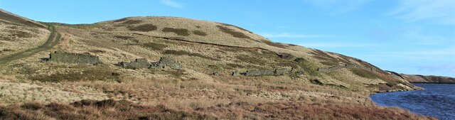
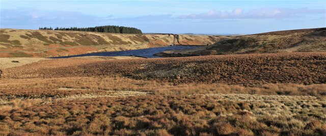
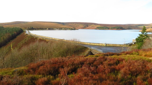
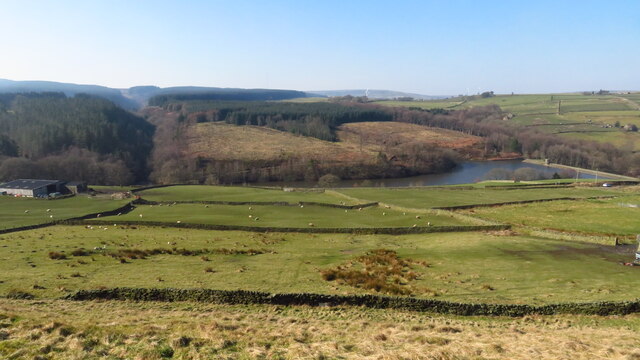
Harden Reservoir is a picturesque freshwater lake nestled in the heart of Yorkshire, England. Located near the village of Harden, this man-made reservoir covers an area of approximately 14 hectares and is surrounded by lush greenery and rolling hills.
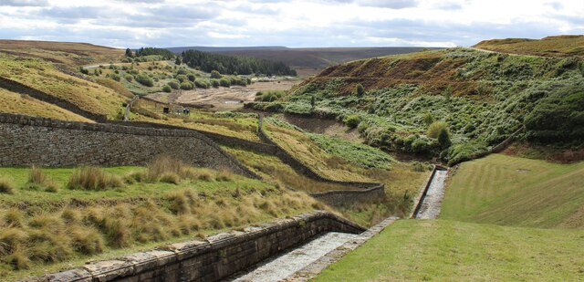
The reservoir was created in the late 19th century to supply water to the nearby towns of Keighley and Bingley. It is fed by several small streams and springs, ensuring a constant supply of fresh water. The dam that encloses the reservoir is an impressive structure, built with local stone and standing at a height of around 15 meters.
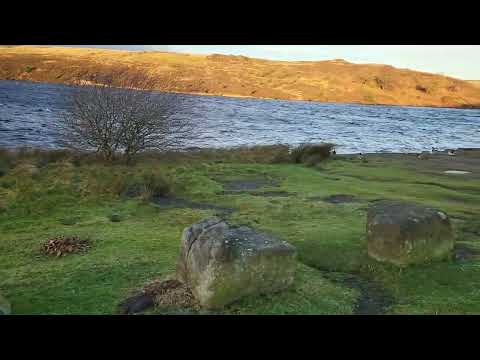
Harden Reservoir is a popular destination for outdoor enthusiasts and nature lovers. Its tranquil waters offer opportunities for a variety of recreational activities such as fishing, boating, and canoeing. Anglers can try their luck at catching brown trout, perch, pike, and roach, among other species.
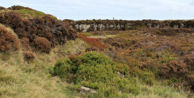
The surrounding area is rich in wildlife, making it a haven for birdwatchers and nature photographers. Visitors may spot a variety of waterfowl, including swans, ducks, and herons, as well as other woodland creatures such as rabbits and squirrels. The reservoir is also home to a diverse range of plant life, with reeds and water lilies dotting the edges of the water.
Harden Reservoir provides a peaceful escape from the hustle and bustle of urban life, offering visitors a chance to unwind and immerse themselves in the beauty of nature. Its idyllic setting and diverse ecosystem make it a true gem in the Yorkshire countryside.
If you have any feedback on the listing, please let us know in the comments section below.
Harden Reservoir Images
Images are sourced within 2km of 53.529468/-1.7747036 or Grid Reference SE1503. Thanks to Geograph Open Source API. All images are credited.
Harden Reservoir is located at Grid Ref: SE1503 (Lat: 53.529468, Lng: -1.7747036)
Division: West Riding
Unitary Authority: Barnsley
Police Authority: South Yorkshire
What 3 Words
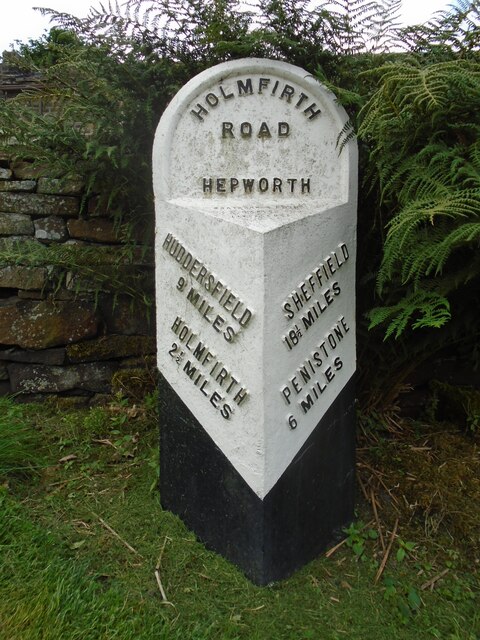
///sensibly.analogy.camcorder. Near Holmfirth, West Yorkshire
Nearby Locations
Related Wikis

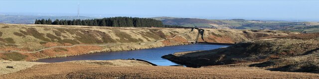
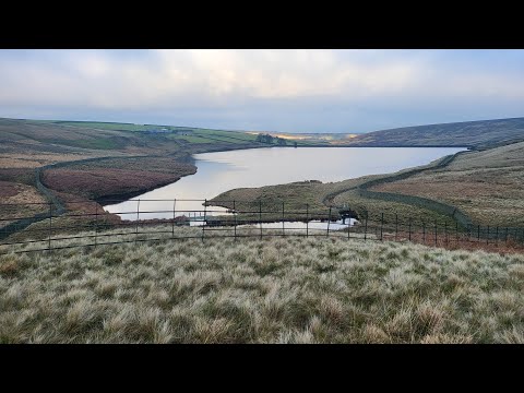
Winscar Reservoir
Winscar Reservoir (also known as Winscar dam), is a compensation reservoir on the headwaters of the River Don in South Yorkshire, England. The reservoir...

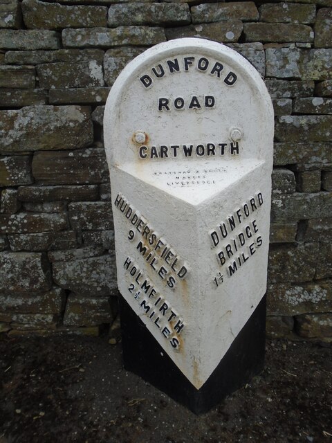
Dunford Bridge railway station
Dunford Bridge railway station was a railway station that served the village of Dunford Bridge on the Sheffield, Ashton-under-Lyne and Manchester Railway...

Hade Edge
Hade Edge is a small village to the south of Holmfirth and southeast of Hepworth in West Yorkshire, England. It is in the parish of Holme Valley and the...

Dunford
Dunford is a civil parish in the Metropolitan Borough of Barnsley, 14.5 miles (23.3 km) northwest of Sheffield in South Yorkshire, England. It lies in...

Dunford Bridge
Dunford Bridge is a remote hamlet in the civil parish of Dunford, lying northwest of Sheffield in South Yorkshire, England, 1.3 miles (2 km) from the...

Carlecotes
Carlecotes is a village in the metropolitan borough of Barnsley in South Yorkshire, England. Carlecotes is within Dunford civil parish. The village is...

Arrunden
Arrunden is a hamlet in the civil parish of Holme Valley, West Yorkshire, England. It is located 1.3 miles (2.1 km) south-southwest of Holmfirth. ��2...

Barnside
Barnside is a hamlet on Barnside Lane approximately 3/4 mile to the southeast of Hepworth in West Yorkshire, England. It is in the civic parish of Holme...
Related Videos
When you want to hike and the weather says no.
I did intend to hike once more this year, but the weather had another idea. I was nearly blown over in the car park, and the car was ...
Snailsden #peakdistrict #summit #nature
Snailsden Trig #summit #peakdistrict #snailsden.
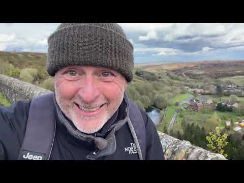
A Short Walk at Dunford Bridge and Winscar Reservoir near Holmfirth, Yorkshire, UK.
Late April 2024. After several weeks of crazy weather things began to look a bit more promising. During a brief weather window of ...
Snailsden, Dead Edge End and South Nab. A 10.26 Mile Peak District Hike. #summit #peakdistrict #trig
A 10.26 mile hike starting at Winscar Reservoir over to Snailsden, up to Dead Edge End and back via South Nab. The word of the ...
Nearby Amenities
Located within 500m of 53.529468,-1.7747036Have you been to Harden Reservoir?
Leave your review of Harden Reservoir below (or comments, questions and feedback).