Heathcote Mere
Lake, Pool, Pond, Freshwater Marsh in Derbyshire Derbyshire Dales
England
Heathcote Mere
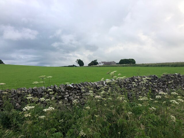
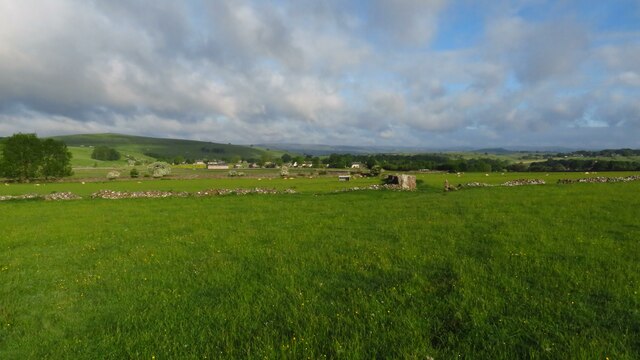
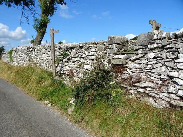
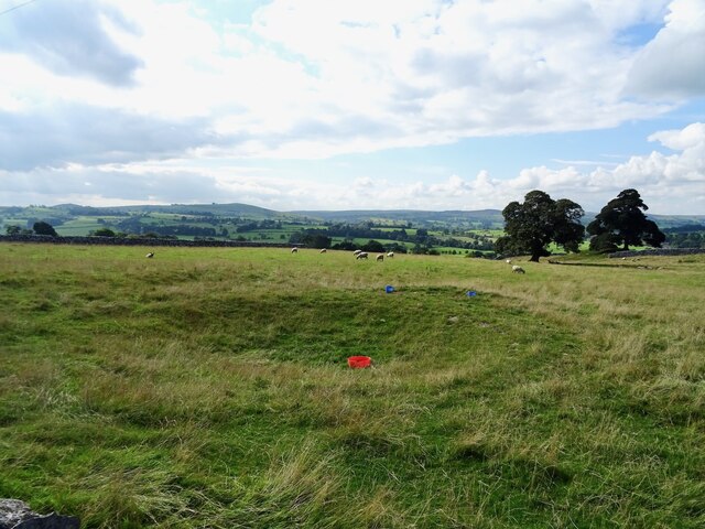
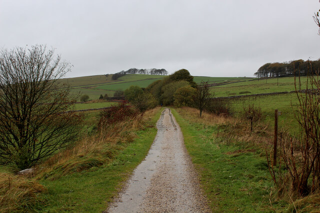
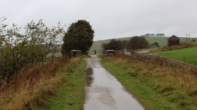
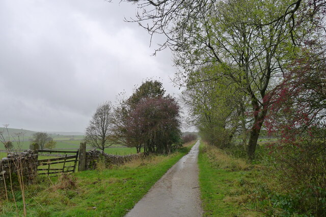
Heathcote Mere is a picturesque freshwater lake located in Derbyshire, England. Nestled within the beautiful countryside, this serene body of water covers an area of approximately 10 acres. It is often referred to as a mere, which is a term used to describe a small lake or pond. The mere is situated within the tranquil village of Heathcote, surrounded by rolling hills and lush greenery.
The water of Heathcote Mere is crystal clear and inviting, making it a popular spot for swimming and recreational activities during the summer months. The lake is home to a variety of freshwater fish, including perch, roach, and pike, making it a haven for anglers.
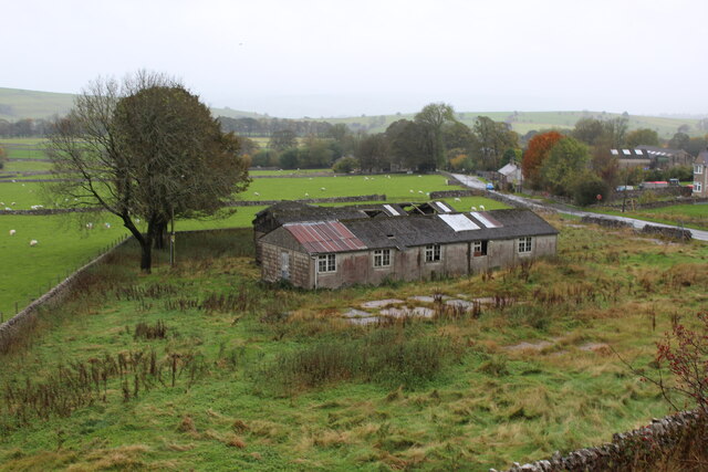
The surrounding area of the mere is abundant in wildlife, with many species of birds, insects, and small mammals calling it home. The lake is also a haven for birdwatchers, as it attracts a variety of waterfowl, such as ducks, swans, and herons.
In addition to its natural beauty, Heathcote Mere offers a peaceful and tranquil environment for visitors to enjoy. The lake is surrounded by walking trails and picnic areas, allowing visitors to take in the breathtaking scenery and enjoy a day out in nature.
Overall, Heathcote Mere is a hidden gem in Derbyshire, offering a peaceful retreat for those seeking natural beauty and tranquility. Whether you're a nature enthusiast, angler, or simply looking for a relaxing day by the water, Heathcote Mere is a must-visit destination.
If you have any feedback on the listing, please let us know in the comments section below.
Heathcote Mere Images
Images are sourced within 2km of 53.138439/-1.7873506 or Grid Reference SK1460. Thanks to Geograph Open Source API. All images are credited.


Heathcote Mere is located at Grid Ref: SK1460 (Lat: 53.138439, Lng: -1.7873506)
Administrative County: Derbyshire
District: Derbyshire Dales
Police Authority: Derbyshire
What 3 Words
///throats.widen.stole. Near Newhaven, Derbyshire
Nearby Locations
Related Wikis
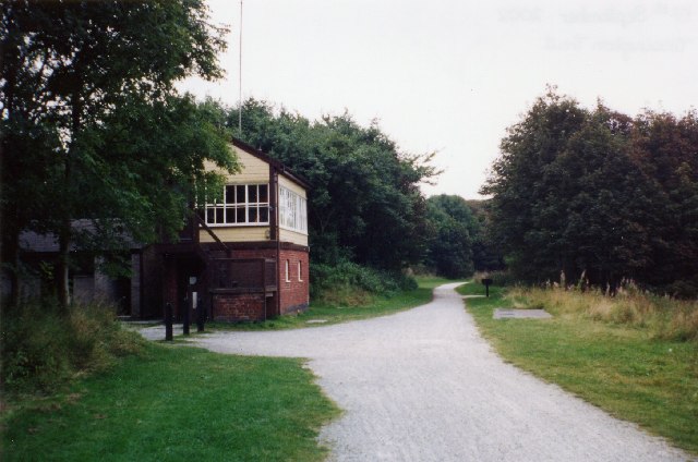
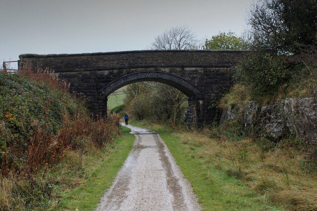
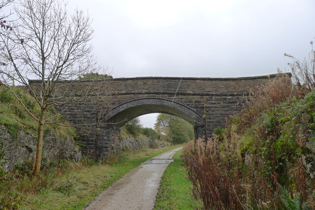
Hartington railway station
Hartington railway station is a former railway station which operated from 1899 to 1963. It was built to serve the village of Hartington (grid reference...

Hartington Nether Quarter
Hartington Nether Quarter is a civil parish in the Derbyshire Dales district of Derbyshire, England. The parish was created from the subdivision of the...
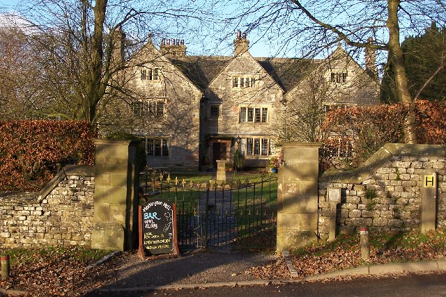
Hartington Hall
Hartington Hall is a much altered and extended 17th-century manor house at Hartington, Derbyshire, now a youth hostel. The Hall was built by the Bateman...

Biggin (Dovedale and Parwich Ward)
Biggin is a village in the Derbyshire Dales district of Derbyshire, England. It is part of the Hartington Nether Quarter parish, and is in the Peak District...

Hartington, Derbyshire
Hartington is a village in the centre of the White Peak area of the Derbyshire Peak District, England, lying on the River Dove which is the Staffordshire...

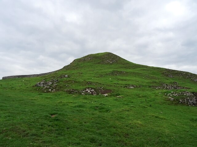
Wolfscote Hill
Wolfscote Hill is a limestone hill near the village of Hartington in the Derbyshire Peak District. The summit is 388 metres (1,273 ft) above sea level...

Newhaven, Derbyshire
Newhaven is a hamlet in the county of Derbyshire, England, east of Hartington and west of Cromford. The principal employer in the area is DSF Refractories...
Friden, Derbyshire
Friden is a hamlet in the civil parish of Hartington Nether Quarter, Derbyshire, England. It is 11 miles (18 km) south-east of Buxton, just off the Newhaven...
Nearby Amenities
Located within 500m of 53.138439,-1.7873506Have you been to Heathcote Mere?
Leave your review of Heathcote Mere below (or comments, questions and feedback).