Fradley Reservoir
Lake, Pool, Pond, Freshwater Marsh in Staffordshire Lichfield
England
Fradley Reservoir
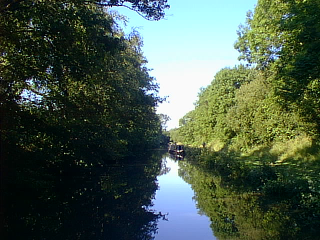
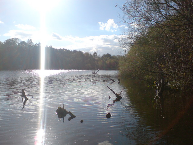
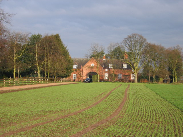
Fradley Reservoir is a freshwater lake located in Staffordshire, England. It covers an area of approximately 76 hectares and is situated within the Trent Valley, near the village of Fradley. The reservoir was created in the 1960s as part of the Trent and Mersey Canal expansion project.
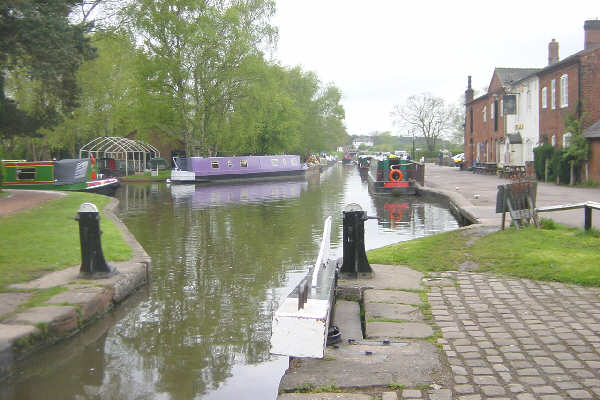
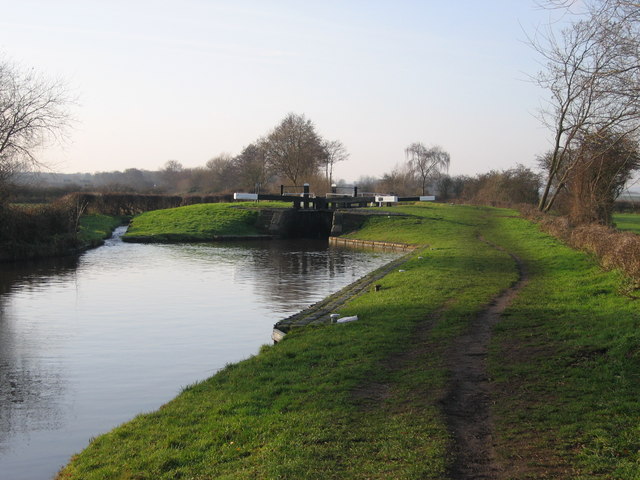
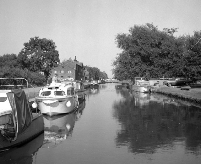
The lake serves as a crucial water supply source for the surrounding area, as it is connected to the Birmingham and Fazeley Canal. The water is primarily sourced from the Trent River and is treated before being distributed to nearby towns and villages. Fradley Reservoir also plays a vital role in flood control, as it helps to regulate water levels during periods of heavy rainfall.
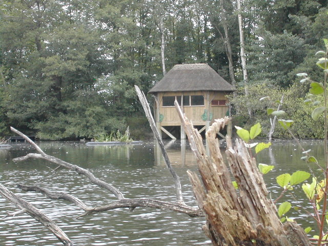
The reservoir is a popular spot for recreational activities, attracting visitors from the local community and beyond. It offers a variety of amenities, including a visitor center, picnic areas, and walking trails. Fishing is also permitted in designated areas, with a wide range of fish species present, such as pike, perch, and roach.
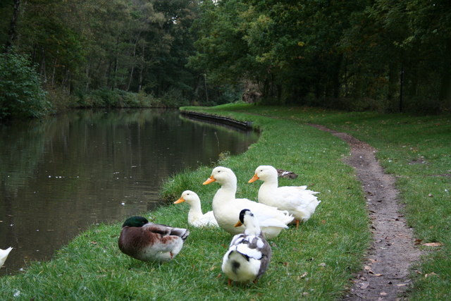
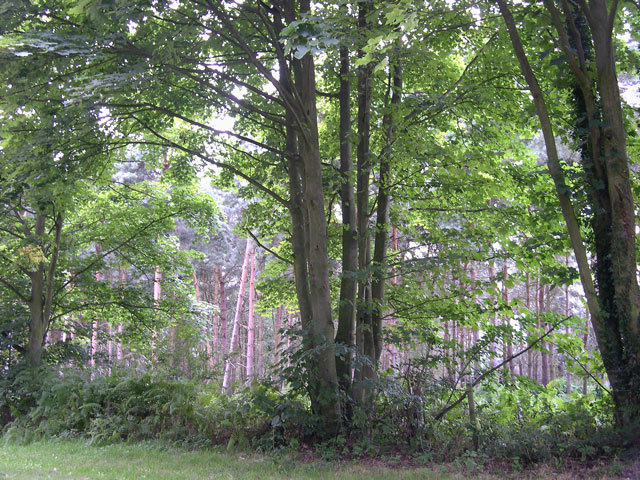
The surrounding landscape is characterized by lush vegetation, with reed beds and wetland areas providing habitat for various bird species and wildlife. Fradley Reservoir is particularly known for its diverse bird population, making it a popular destination for birdwatchers.
Overall, Fradley Reservoir serves as an important water resource, while also providing a picturesque setting for recreational activities and offering a haven for wildlife in Staffordshire.
If you have any feedback on the listing, please let us know in the comments section below.
Fradley Reservoir Images
Images are sourced within 2km of 52.72527/-1.7904443 or Grid Reference SK1414. Thanks to Geograph Open Source API. All images are credited.


Fradley Reservoir is located at Grid Ref: SK1414 (Lat: 52.72527, Lng: -1.7904443)
Administrative County: Staffordshire
District: Lichfield
Police Authority: Staffordshire
What 3 Words
///verve.gourmet.mint. Near Alrewas, Staffordshire
Nearby Locations
Related Wikis

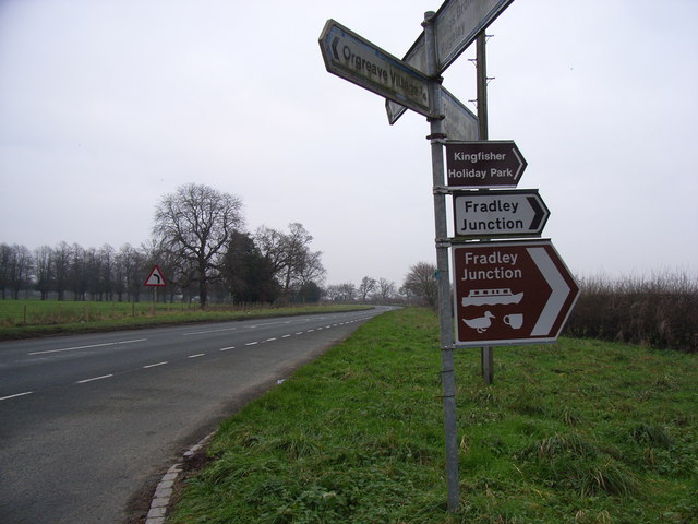
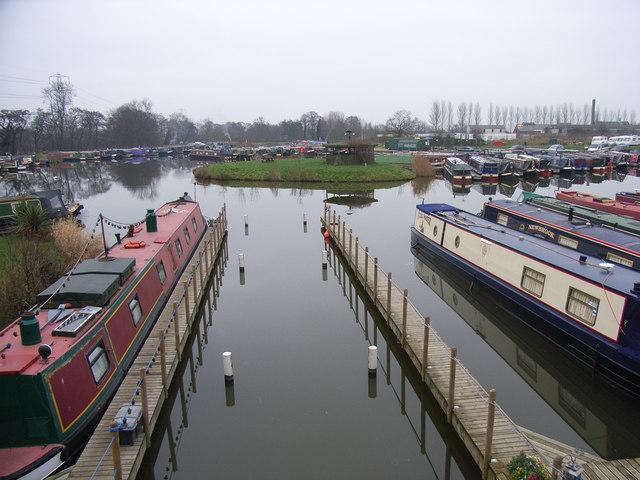
Fradley Junction
Fradley Junction (grid reference SK140139) is a canal junction between Fradley and Alrewas near Lichfield, Staffordshire, England and the point at which...

RAF Lichfield
Royal Air Force Station Lichfield also known as Fradley Aerodrome, was an operational training station from 1940 until 1958. It was situated in Fradley...

Fradley
Fradley is a village and civil parish, in the Lichfield district, in the county of Staffordshire, England. In 1881 the parish had a population of 380....
Orgreave, Staffordshire
Orgreave is a hamlet and former civil parish, now in the parish of Alrewas, in the Lichfield district, in the county of Staffordshire, England. It lies...
Kings Bromley
Kings Bromley is a village and civil parish in Staffordshire, England, on the junction of the A515 and the A513 roads. The village lies in Lichfield District...

Alrewas and Fradley
Alrewas and Fradley, was a large civil parish in the Lichfield district of Staffordshire, England. The parish included the villages of Alrewas, Fradley...
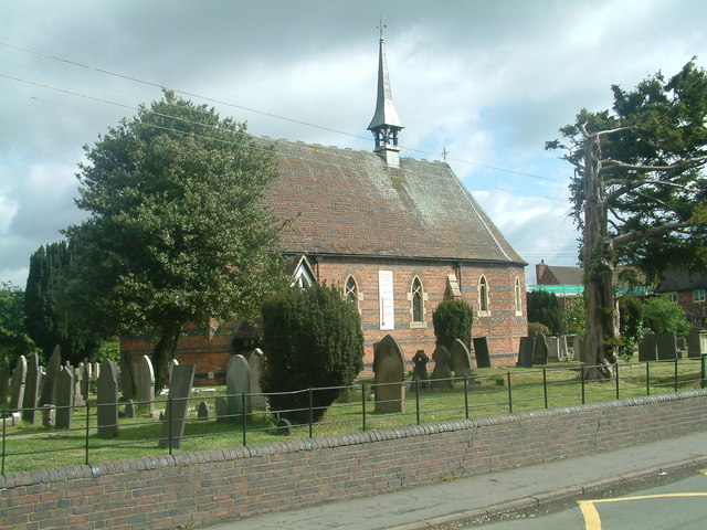
All Saints Church, Alrewas
All Saints Church, Alrewas is a parish church in the village of Alrewas, Staffordshire in England. The church is situated in the north west of the village...

River Swarbourn
The River Swarbourn is a minor tributary of the River Trent that flows for 10 miles (16 km) in Staffordshire, England. == Geography == Its catchment lies...
Nearby Amenities
Located within 500m of 52.72527,-1.7904443Have you been to Fradley Reservoir?
Leave your review of Fradley Reservoir below (or comments, questions and feedback).