Great Holcombe

Settlement in Oxfordshire South Oxfordshire

England

Great Holcombe

Grazing Ewe Farm
Grazing Ewe Farm Credit: JThomas

Great Holcombe is a picturesque village located in Oxfordshire, England. Situated in the heart of the Cotswolds, it is surrounded by rolling hills and stunning countryside. The village is part of the Cherwell district and is approximately 12 miles northwest of Oxford.

Great Holcombe is known for its charming and traditional English character. Its stone-built houses and thatched cottages add to the village's allure, creating a quintessential rural atmosphere. The village is small in size, with a population of around 300 residents.

Despite its modest size, Great Holcombe boasts a strong sense of community. The village has a local pub, The Crown Inn, which serves as a popular meeting place for locals and visitors alike. The pub offers a warm and welcoming ambiance, along with traditional British food and drinks.

The surrounding countryside provides ample opportunities for outdoor activities. There are numerous walking trails and cycling routes that allow visitors to explore the natural beauty of the area. Additionally, the nearby Holcombe Hill offers breathtaking views of the Oxfordshire countryside.

Great Holcombe is conveniently located near larger towns and cities. The city of Oxford is within easy reach, offering a wide range of cultural, shopping, and dining experiences. Bicester, a town famous for its designer outlet shopping village, is also a short drive away.

In summary, Great Holcombe is a charming village nestled in the Oxfordshire countryside. Its picturesque setting, close-knit community, and proximity to larger towns make it an appealing destination for those seeking a peaceful and authentic English experience.

If you have any feedback on the listing, please let us know in the comments section below.

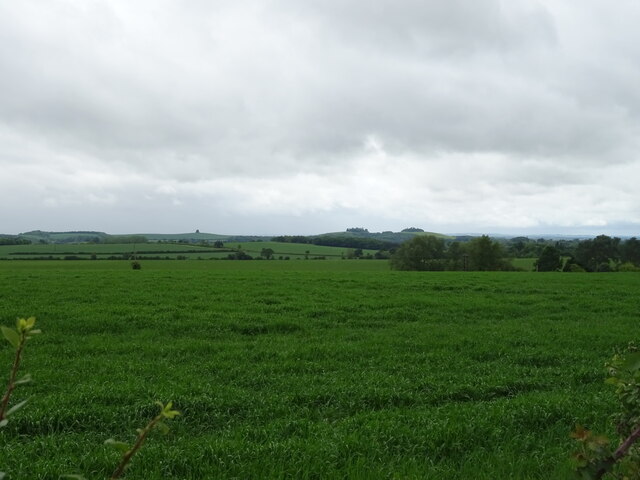
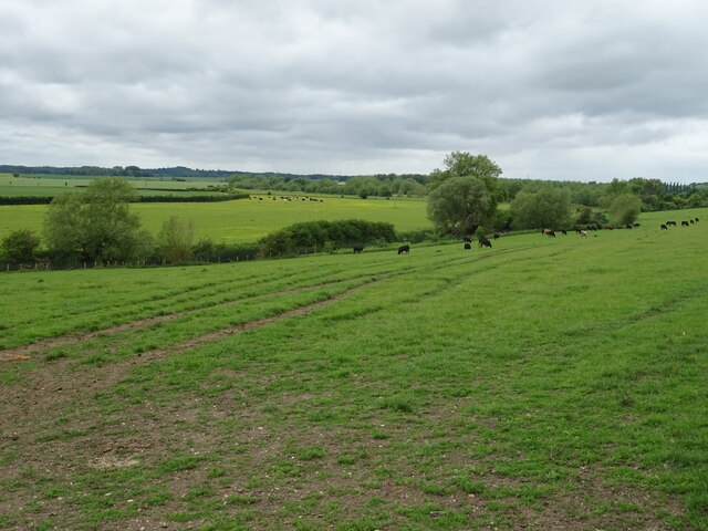
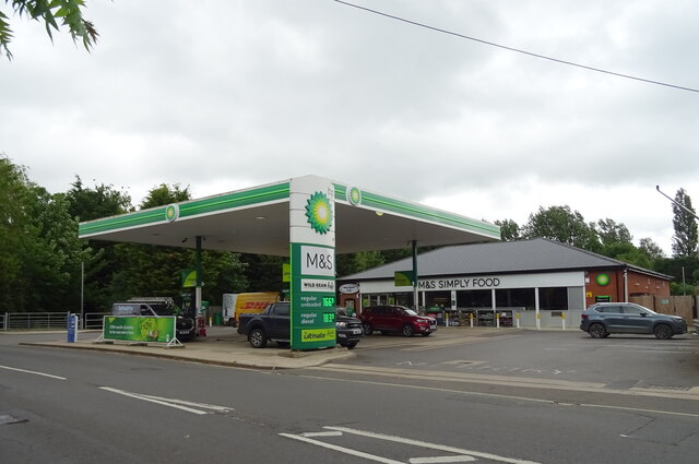
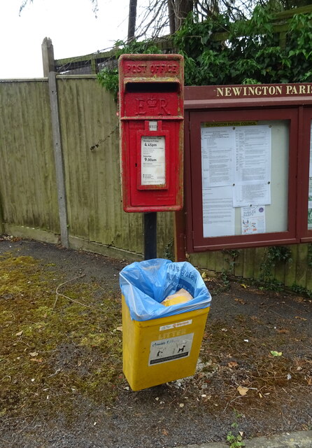
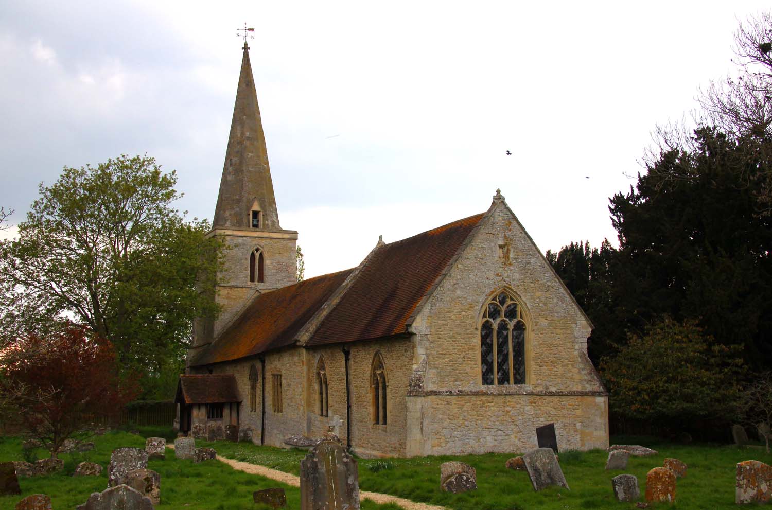
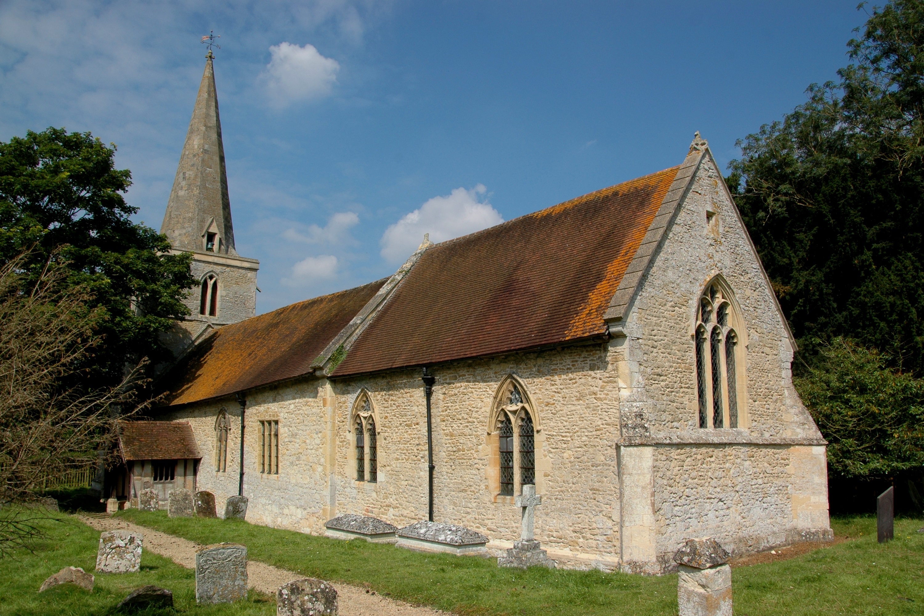
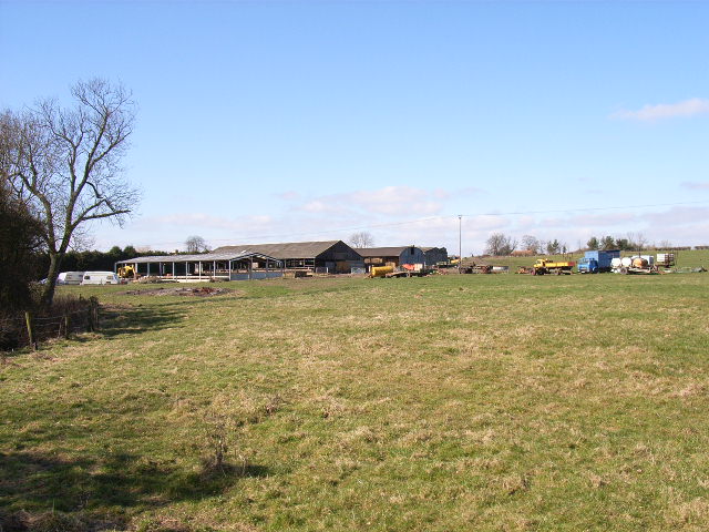
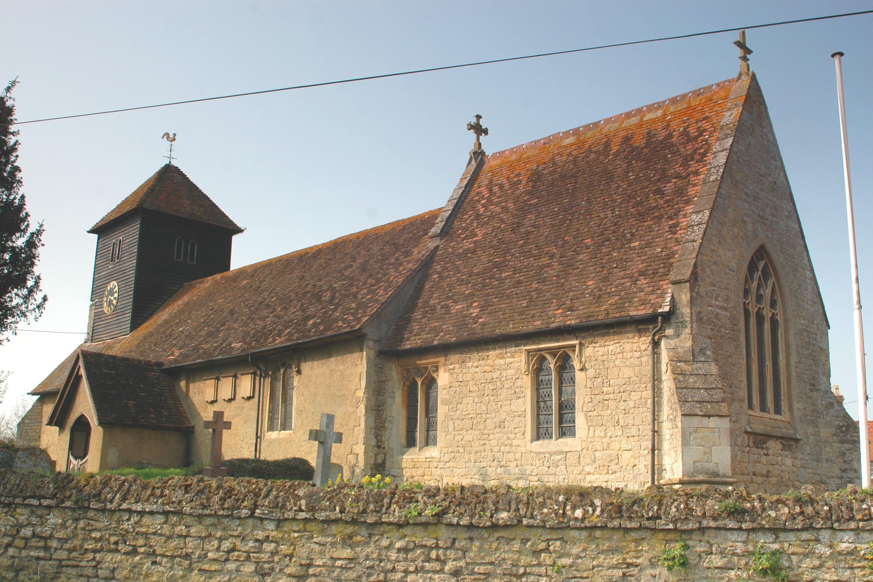
Great Holcombe Images

Images are sourced within 2km of 51.667274/-1.121694 or Grid Reference SU6096. Thanks to Geograph Open Source API. All images are credited.

Grazing Ewe Farm
Grazing Ewe Farm
Track (footpath) to Ewe Farm
Minor road towards Newington
Field, Primrose Hill Off the A329
Field, Primrose Hill
Off the A329
Bend in the A29, Primrose Hill Towards Warborough.
Bend in the A29, Primrose Hill
Towards Warborough.
Newington House
Newington House
Gated track of the A329, Newington
St Giles' Church, Newington
Barn, Great Holcombe
Grazing, Great Holcombe
Holcombe Lane
Holcombe Lane
House on the A329, Newington
Grazing near the River Thame
A329 towards Stadhampton
Cattle near the River Thame
Service station on Thame Road (A329), Stadhampton Petrol 166.9p.
Diesel 183.9p.
Service station on Thame Road (A329), Stadhampton
Petrol 166.9p. Diesel 183.9p.
Thame Road (A329), Stadhampton Petrol 166.9p.
Diesel 183.9p.
Thame Road (A329), Stadhampton
Petrol 166.9p. Diesel 183.9p.
Elizabeth II postbox on the A329, Newington Postbox No. OX10 511.
Elizabeth II postbox on the A329, Newington
Postbox No. OX10 511.
Show me another place!

Great Holcombe is located at Grid Ref: SU6096 (Lat: 51.667274, Lng: -1.121694)

Administrative County: Oxfordshire

District: South Oxfordshire

Police Authority: Thames Valley

What 3 Words

///stores.swims.encoded. Near Chalgrove, Oxfordshire

Related Wikis

Beauforest House

Beauforest House is a historic house, near Newington, Oxfordshire, England. It has been listed Grade II on the National Heritage List for England since...

Newington, Oxfordshire

Newington is a village and civil parish in South Oxfordshire, about 4+1⁄2 miles (7 km) north of Wallingford. The 2011 Census recorded the parish's population...

Great Holcombe

Great Holcombe is a hamlet in Newington civil parish in South Oxfordshire, about 4.5 miles (7.2 km) north of Wallingford. == References ==

Drayton St. Leonard

Drayton St. Leonard is a village and civil parish on the River Thame in Oxfordshire, about 8 miles (13 km) southeast of Oxford. == Manor == The Domesday...

Nearby Amenities

Located within 500m of 51.667274,-1.121694
Post Box
Operator: Royal Mail
Post Box Type: lamp
Ref: OX10 511D
Royal Cypher: EIIR
Lat/Long: 51.664781/-1.1204678
Newington
Place: village
Wikidata: Q2618926
Wikipedia: en:Newington, Oxfordshire
Lat/Long: 51.6649565/-1.1209114
The Lydes
Naptan AtcoCode: 340000571CH
Naptan Bearing: S
Naptan BusStopType: CUS
Naptan CommonName: The Lydes
Naptan Indicator: Outside
Naptan Landmark: The Lydes
Naptan NaptanCode: oxfapmad
Naptan Street: A329
Naptan Verified: no
Source: naptan_import
Lat/Long: 51.664718/-1.1205248
The Lydes
Naptan AtcoCode: 340000571OCH
Naptan Bearing: N
Naptan BusStopType: CUS
Naptan CommonName: The Lydes
Naptan Indicator: Opposite
Naptan Landmark: The Lydes
Naptan NaptanCode: oxfapjwt
Naptan Street: A329
Naptan Verified: no
Source: naptan_import
Lat/Long: 51.6647099/-1.1206406
Source: GPS
Traffic Calming: chicane
Lat/Long: 51.6628563/-1.1206418
Power: pole
Lat/Long: 51.6675881/-1.1255247
Power: pole
Lat/Long: 51.6673035/-1.1242828
Power: pole
Transformer: distribution
Lat/Long: 51.6665982/-1.1212868
Power: pole
Lat/Long: 51.6670224/-1.1231
Power: pole
Lat/Long: 51.6683034/-1.1264205
Power: pole
Lat/Long: 51.6689921/-1.127311
Power: pole
Lat/Long: 51.6667213/-1.121783
Drayton St Leonard
Aeroway: aerodrome
Source: http://www.airfieldcards.com/php/courtesy_card.php?id=207
Lat/Long: 51.6645041/-1.1263889
Great Holcombe
Place: hamlet
Source: OS_OpenData_StreetView
Wikidata: Q5599323
Wikipedia: en:Great Holcombe
Lat/Long: 51.6669137/-1.1201655
Power: pole
Source: Bing
Lat/Long: 51.6683616/-1.1194765
Power: pole
Source: Bing
Lat/Long: 51.6668362/-1.1148068
Power: pole
Source: Bing
Lat/Long: 51.6688092/-1.1193692
Power: pole
Source: Bing
Lat/Long: 51.669245/-1.1207774
Power: pole
Lat/Long: 51.6667753/-1.1154744
Power: pole
Lat/Long: 51.6665732/-1.1184235
Power: pole
Lat/Long: 51.6664875/-1.1194575
Power: pole
Lat/Long: 51.6664019/-1.1204767
Direction: 175
Generator Method: photovoltaic
Generator Output Electricity: yes
Generator Solar Modules: 210
Generator Source: solar
Generator Type: solar_photovoltaic_panel
Location: roof
Power: generator
Lat/Long: 51.6662952/-1.117046
The data included in this document is from www.openstreetmap.org. The data is made available under ODbL.

Have you been to Great Holcombe?

Leave your review of Great Holcombe below (or comments, questions and feedback).