Blow Tarn

Lake, Pool, Pond, Freshwater Marsh in Yorkshire Harrogate

England

Blow Tarn

Little Pock Stones
Little Pock Stones Credit: Mick Armitage

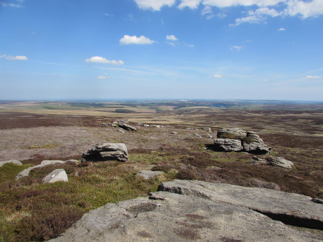
Blow Tarn, located in Yorkshire, England, is a picturesque freshwater lake nestled in the heart of the countryside. This natural body of water is characterized by its stunning beauty and tranquil surroundings, attracting visitors from far and wide.

Covering an area of approximately 5 acres, Blow Tarn is a relatively small lake but makes up for its size with its abundant natural charm. Surrounded by lush greenery and rolling hills, the tarn offers a serene and peaceful atmosphere for those seeking an escape from the bustling city life.

The water in Blow Tarn is crystal clear and reflects the surrounding landscape, creating a mesmerizing mirror effect. It is home to a variety of aquatic flora and fauna, including water lilies, reeds, and small fish species. The lake also supports a diverse range of bird species, making it a popular spot for birdwatching enthusiasts.

Blow Tarn is a popular destination for outdoor activities such as fishing, boating, and picnicking. Anglers can enjoy fishing for perch, pike, and trout, while boating enthusiasts can explore the lake's calm waters by canoe or kayak. The serene environment and stunning scenery also make Blow Tarn an ideal spot for leisurely walks and nature hikes.

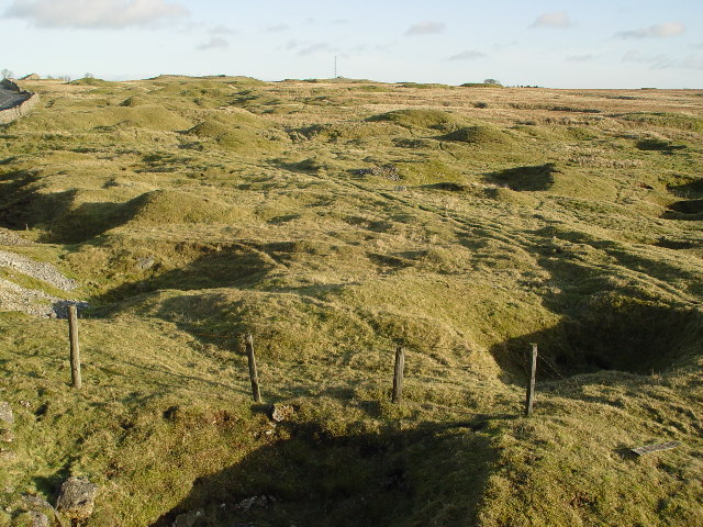
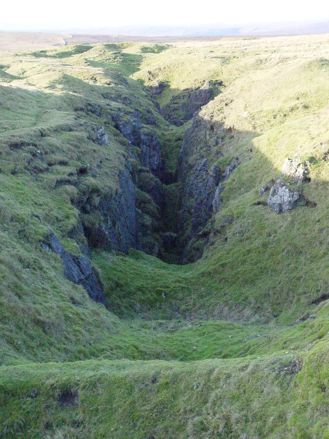
The surrounding area of Blow Tarn is a haven for wildlife, with several nature reserves and protected areas nearby. Visitors can often spot various species of birds, mammals, and insects in these habitats, adding to the area's natural beauty.

Overall, Blow Tarn is a hidden gem in Yorkshire, offering a peaceful retreat for nature lovers and outdoor enthusiasts. Its stunning scenery, diverse wildlife, and range of recreational activities make it a must-visit destination for those seeking a tranquil and idyllic experience in the heart of nature.

If you have any feedback on the listing, please let us know in the comments section below.

Blow Tarn Images

Images are sourced within 2km of 54.05296/-1.8533284 or Grid Reference SE0961. Thanks to Geograph Open Source API. All images are credited.

Little Pock Stones
Little Pock Stones
Rochard Crags
Rochard Crags
Hen Stones Menwith Hill can just be made out in the distance between the two rocks.
Hen Stones
Menwith Hill can just be made out in the distance between the two rocks.
Ruined sheepfold on Catherine or Kitty White's Allotments A badly ruined sheepfold in the middle of the moor.  Some evidence of old peat cuttings nearby to the south east.
Ruined sheepfold on Catherine or Kitty White's Allotments
A badly ruined sheepfold in the middle of the moor. Some evidence of old peat cuttings nearby to the south east.
Remains of Pock Stones Hut Little Pock Stones behind.  The hut appears on OS maps from 1851 through to 1957.
Remains of Pock Stones Hut
Little Pock Stones behind. The hut appears on OS maps from 1851 through to 1957.
Tent, Great Pockstones Second night of a backpack
Tent, Great Pockstones
Second night of a backpack
Sun Dog From a camp on Great Pockstones
Sun Dog
From a camp on Great Pockstones
On Great Pockstones The Radomes of Menwith Hill in shot
On Great Pockstones
The Radomes of Menwith Hill in shot
Tent, Great Pockstones The crag was my home for the night. The large rock outcrop is very accurately depicted on the 1:50000 OS map.
Tent, Great Pockstones
The crag was my home for the night. The large rock outcrop is very accurately depicted on the 1:50000 OS map.
Sunset, Great Pockstones Better than watching TV
Sunset, Great Pockstones
Better than watching TV
Dusk, Great Pockstones Great Sunset on the second night of a wild camping trip.
Dusk, Great Pockstones
Great Sunset on the second night of a wild camping trip.
Pivot Benchmark on Great Pock Stones An impressive group of Gritstone tors make up Great Pockstones, and on one of the highest boulders there is a pivot benchmark carved out by Captain Tucker or one of his subordinates during the 1st OS Survey Map in 1848-50. It has a recorded height of 1520.1ft
Pivot Benchmark on Great Pock Stones
An impressive group of Gritstone tors make up Great Pockstones, and on one of the highest boulders there is a pivot benchmark carved out by Captain Tucker or one of his subordinates during the 1st OS Survey Map in 1848-50. It has a recorded height of 1520.1ft
Sandstone Tors below Great Pockstones Views towards Menwith Hill and Harrogate
Sandstone Tors below Great Pockstones
Views towards Menwith Hill and Harrogate
Greenhow: Moorland
Greenhow: Moorland
Stone Arch Over Rock Can you see the baby dragon (or is it a dinosaur?) nestling into/under its parent's tail?
Stone Arch Over Rock
Can you see the baby dragon (or is it a dinosaur?) nestling into/under its parent's tail?
Last in a line Viewed from the top of a spoil heap surrounding one of the last major shafts on the Forest lead Vein. Beyond are two smaller trials that ultimately found that the vein petered out due to the Keld Basin. The limestones on Greenhow to the east, and Craven Moor to the west, dip steeply under a thick covering of shale. This is directly related to the Greenhow Anticline.

This part of Greenhow moor is known as The Forest as it was once land owned by the Lords of Knaresborough Castle as part of their hunting forest.
Last in a line
Viewed from the top of a spoil heap surrounding one of the last major shafts on the Forest lead Vein. Beyond are two smaller trials that ultimately found that the vein petered out due to the Keld Basin. The limestones on Greenhow to the east, and Craven Moor to the west, dip steeply under a thick covering of shale. This is directly related to the Greenhow Anticline. This part of Greenhow moor is known as The Forest as it was once land owned by the Lords of Knaresborough Castle as part of their hunting forest.
Craven Moor, Greenhow The multitude of grassed over spoil heaps from the lead mines make it look like a lunar landscape.
Craven Moor, Greenhow
The multitude of grassed over spoil heaps from the lead mines make it look like a lunar landscape.
Fielding Vein An old Lead vein, worked out to the surface. KEEP OUT - The grassy floor of this opencut, like many others around, covers stacked rocks which may be standing on timbers which are rotting away. Suddenly they give way and a hole appears, some close by go down 200+ feet.
Fielding Vein
An old Lead vein, worked out to the surface. KEEP OUT - The grassy floor of this opencut, like many others around, covers stacked rocks which may be standing on timbers which are rotting away. Suddenly they give way and a hole appears, some close by go down 200+ feet.
Show me another place!

Blow Tarn is located at Grid Ref: SE0961 (Lat: 54.05296, Lng: -1.8533284)

Division: West Riding

Administrative County: North Yorkshire

District: Harrogate

Police Authority: North Yorkshire

What 3 Words

///trudges.fixed.debate. Near Pateley Bridge, North Yorkshire

Nearby Locations

Blow Tarn Tarn Moss

Related Wikis

Stump Cross Caverns

Stump Cross Caverns is a limestone cave system between Wharfedale and Nidderdale in North Yorkshire, England. == Geography == The caverns at Stump Cross...

Greenhow

Greenhow is a village in North Yorkshire, England, often referred to as Greenhow Hill. The term how derives from the Old Norse word haugr meaning a hill...

Simon's Seat

Simon's Seat is a peak in the Yorkshire Dales in northern England. It is a prominent outcrop of millstone grit on the eastern side of Wharfedale. Although...

Parcevall Hall

Parcevall Hall -- also known as Parceval Hall -- and its gardens are located at Skyreholme near Appletreewick village, Wharfedale, North Yorkshire, England...

Have you been to Blow Tarn?

Leave your review of Blow Tarn below (or comments, questions and feedback).