Allenford Pond

Lake, Pool, Pond, Freshwater Marsh in Wiltshire New Forest

England

Allenford Pond

Ford at Damerham This ford is found at Allenford Pond on the River Allen at Damerham.
Ford at Damerham Credit: John Walton

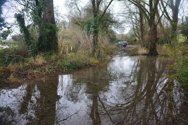
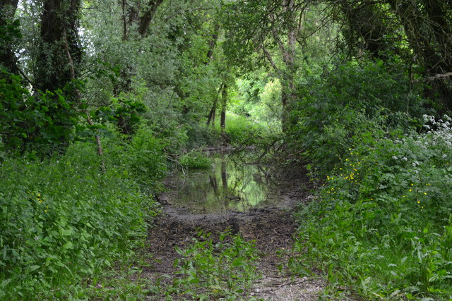
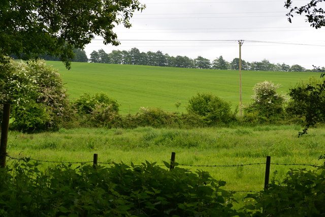
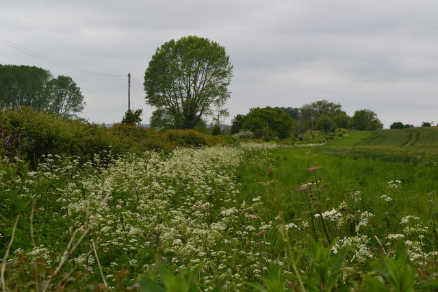
Allenford Pond is a small freshwater body located in the county of Wiltshire, England. Situated in a rural setting, it covers an area of approximately 2 acres and is surrounded by lush greenery and woodland on its shores. The pond is part of a larger wetland ecosystem that includes a freshwater marsh and is home to a diverse range of plant and animal species.

The pond itself is relatively shallow, with an average depth of around 3 feet. Its water is sourced from local rainfall and runoff, contributing to its freshwater status. The pond's water is generally clear and still, providing a tranquil and serene environment for both wildlife and visitors.

The vegetation surrounding Allenford Pond is predominantly made up of reeds, grasses, and water lilies. These plants provide important habitat and shelter for a variety of species, including frogs, newts, and dragonflies. The pond is also home to a range of fish species, such as carp and roach.

The area around Allenford Pond is a popular spot for nature enthusiasts and birdwatchers, as it attracts a wide array of bird species. Common sightings include ducks, swans, and herons, which are drawn to the pond for feeding and nesting opportunities.

Access to Allenford Pond is available via public footpaths, allowing visitors to enjoy the peaceful surroundings and observe the diverse wildlife. Local conservation efforts ensure the preservation of this important wetland habitat, making it a valuable asset to the natural landscape of Wiltshire.

If you have any feedback on the listing, please let us know in the comments section below.

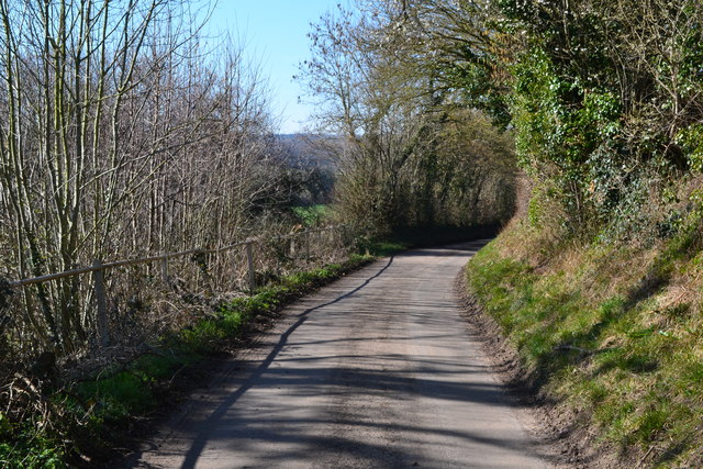
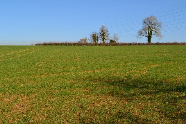
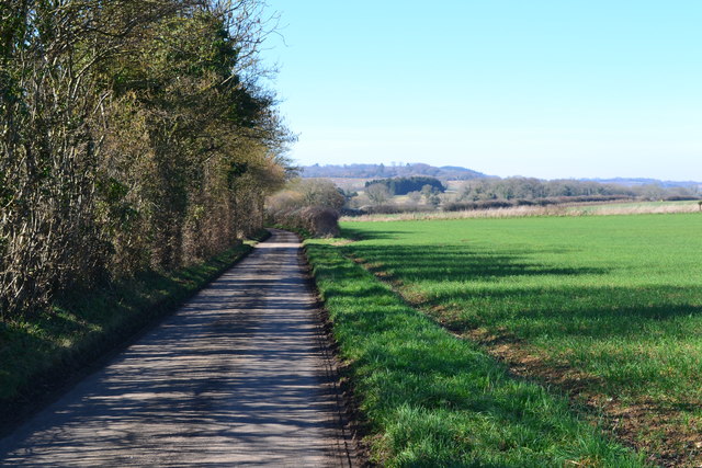
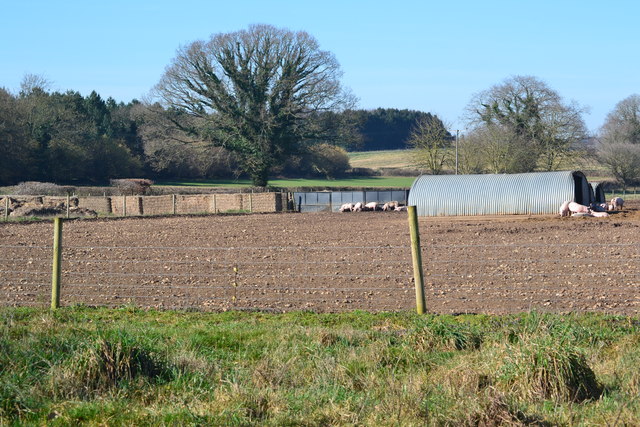
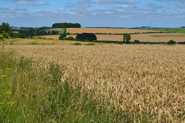
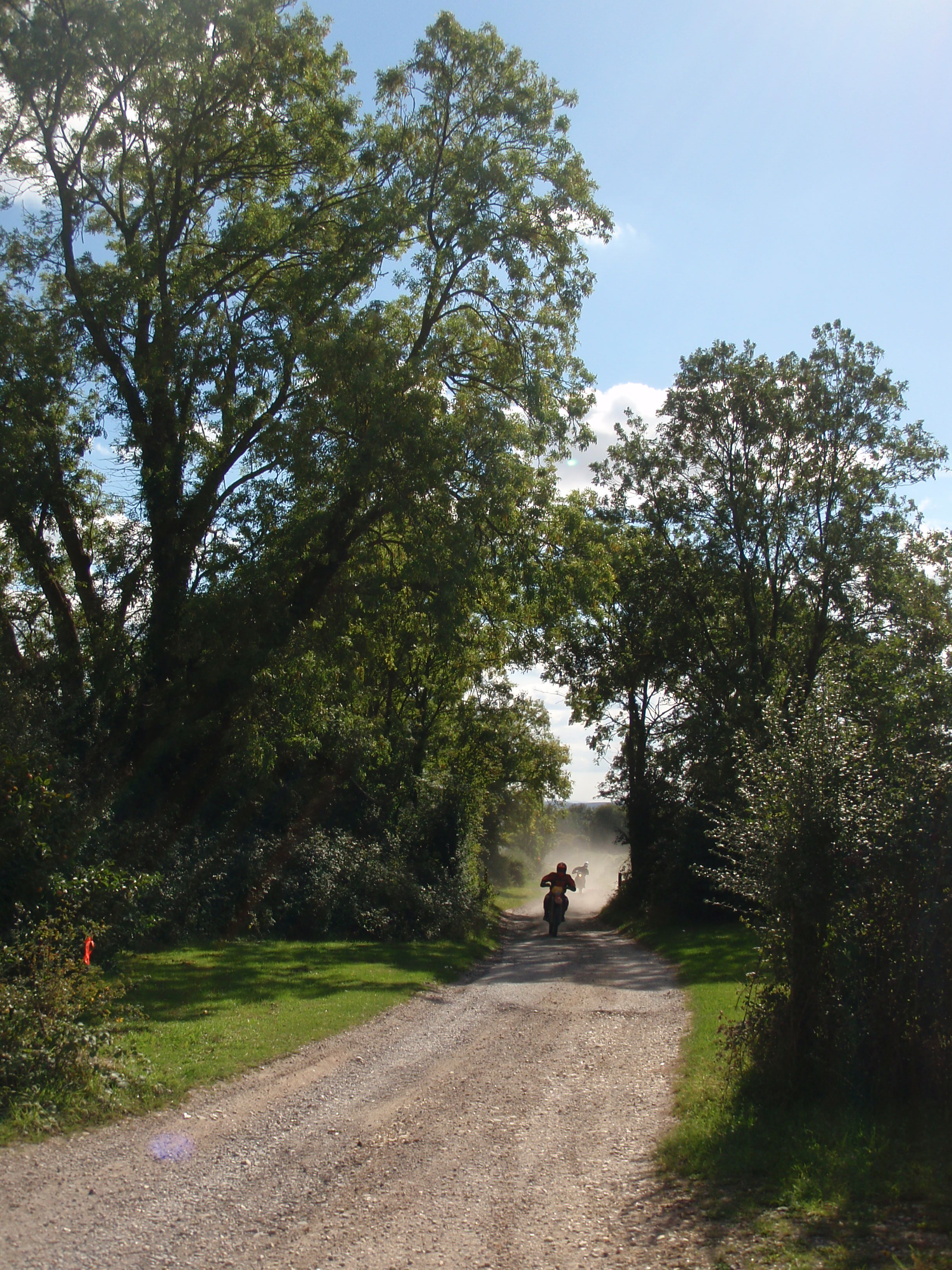
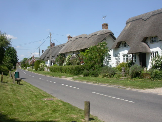
Allenford Pond Images

Images are sourced within 2km of 50.959235/-1.8742105 or Grid Reference SU0817. Thanks to Geograph Open Source API. All images are credited.

Ford at Damerham This ford is found at Allenford Pond on the River Allen at Damerham.
Ford at Damerham
This ford is found at Allenford Pond on the River Allen at Damerham.
Flooded footpath by Allenford Pond
View into field near Allenford Pond
Field beside the road at North Allenford Farm
Boveridge, piggery Part of an extensive piggery on Blackheath Down, which extends to Damerham. Some of the pigs are enjoying wallowing.
Boveridge, piggery
Part of an extensive piggery on Blackheath Down, which extends to Damerham. Some of the pigs are enjoying wallowing.
Old Milestone, Blackheath Down, south west of Tidpit Carved stone post by the UC road, in parish of Martin (New Forest District), Blackheath Down; 10m North of crossroads with major bridleway - Stony Lane, deep in hedge, on East side of road. Poole stone, erected by Poole Turnpike Trust in the 19th century. 

Inscription reads:-
XIX
Miles From
Poole Gate
III Miles
From
Cranborn
Carved benchmark on front lower face. 

Grade II Listed. List Entry Number: 1094923
<span class="nowrap"><a title="https://historicengland.org.uk/listing/the-list/list-entry/1094923" rel="nofollow ugc noopener" href="https://historicengland.org.uk/listing/the-list/list-entry/1094923">Link</a><img style="margin-left:2px;" alt="External link" title="External link - shift click to open in new window" src="https://s1.geograph.org.uk/img/external.png" width="10" height="10"/></span>

Milestone Society National ID: HA_PLSA19.
Old Milestone, Blackheath Down, south west of Tidpit
Carved stone post by the UC road, in parish of Martin (New Forest District), Blackheath Down; 10m North of crossroads with major bridleway - Stony Lane, deep in hedge, on East side of road. Poole stone, erected by Poole Turnpike Trust in the 19th century. Inscription reads:- XIX Miles From Poole Gate III Miles From Cranborn Carved benchmark on front lower face. Grade II Listed. List Entry Number: 1094923 LinkExternal link Milestone Society National ID: HA_PLSA19.
Old Boundary Marker by Bokerley Dyke, Damerham parish Parish Boundary Marker by the footpath, in parish of Damerham (New Forest District), Bokerley Dyke, on Southwest side of fence and footpath in plantation. 

Situated within the Knoll Camp hillfort Scheduled Monument site.
List Entry Number: 1010764 <span class="nowrap"><a title="https://historicengland.org.uk/listing/the-list/list-entry/1010764" rel="nofollow ugc noopener" href="https://historicengland.org.uk/listing/the-list/list-entry/1010764">Link</a><img style="margin-left:2px;" alt="External link" title="External link - shift click to open in new window" src="https://s1.geograph.org.uk/img/external.png" width="10" height="10"/></span>

Surveyed

Milestone Society National ID: HA_DAMROC02pb
Old Boundary Marker by Bokerley Dyke, Damerham parish
Parish Boundary Marker by the footpath, in parish of Damerham (New Forest District), Bokerley Dyke, on Southwest side of fence and footpath in plantation. Situated within the Knoll Camp hillfort Scheduled Monument site. List Entry Number: 1010764 LinkExternal link Surveyed Milestone Society National ID: HA_DAMROC02pb
Old Milestone near Keeper's Cottage, Martin parish Carved stone post by the UC road, in parish of MARTIN (NEW FOREST District), Tidpit, opposite Keeper's Cottage, by farm gate, on East side of road. Poole stone, erected by Soberton Road in the 19th century. 

Inscription reads:-
XX
Miles from
P(oole) G(ate) 

Milestone Society National ID: HA_PLSA20.
Old Milestone near Keeper's Cottage, Martin parish
Carved stone post by the UC road, in parish of MARTIN (NEW FOREST District), Tidpit, opposite Keeper's Cottage, by farm gate, on East side of road. Poole stone, erected by Soberton Road in the 19th century. Inscription reads:- XX Miles from P(oole) G(ate) Milestone Society National ID: HA_PLSA20.
Descending the hill to Four Corners
Catkins at Four Corners The footpath entrance through the hedge is marked by the muddy patch on the verge.
Catkins at Four Corners
The footpath entrance through the hedge is marked by the muddy patch on the verge.
Lane at Last Post There were so many bees on the blossom directly above this spot, their buzzing was the main sound in the landscape - in February!!
Lane at Last Post
There were so many bees on the blossom directly above this spot, their buzzing was the main sound in the landscape - in February!!
Field to the skyline near Last Post
Lane to Boulsbury Farm
Pigs at Boulsbury
Pigs at Boulsbury
Bend in the lane to Boulsbury Farm
Golden fields on Blackheath Down
Roadside colour on Blackheath Down
Sunlight and shadow across fields on Blackheath Down
Show me another place!

Allenford Pond is located at Grid Ref: SU0817 (Lat: 50.959235, Lng: -1.8742105)

Administrative County: Hampshire

District: New Forest

Police Authority: Hampshire

What 3 Words

///decide.farms.trending. Near Alderholt, Dorset

Related Wikis

Nearby Amenities

Located within 500m of 50.959235,-1.8742105
Power: tower
Lat/Long: 50.9607752/-1.8721549
Power: tower
Lat/Long: 50.9562209/-1.8697608
Power: tower
Lat/Long: 50.958549/-1.8709839
Power: pole
Source: bing
Lat/Long: 50.961158/-1.8770849
Power: pole
Source: bing
Lat/Long: 50.96063/-1.8760327
Power: pole
Source: bing
Lat/Long: 50.9595862/-1.8739432
Power: pole
Source: bing
Lat/Long: 50.9591206/-1.8729618
Power: pole
Source: bing
Lat/Long: 50.9601112/-1.8749908
Power: pole
Source: bing
Lat/Long: 50.9616518/-1.8780847
Power: pole
Source: bing
Lat/Long: 50.9621823/-1.8791228
Power: pole
Source: bing
Lat/Long: 50.9586164/-1.8719779
Power: pole
Source: bing
Lat/Long: 50.9576274/-1.8699489
Power: pole
Source: bing
Lat/Long: 50.9571393/-1.8689484
Power: pole
Source: bing
Lat/Long: 50.9560498/-1.8702089
Power: pole
Source: bing
Lat/Long: 50.9552895/-1.8710959
Ford: yes
Lat/Long: 50.9592433/-1.8740776
The data included in this document is from www.openstreetmap.org. The data is made available under ODbL.

Have you been to Allenford Pond?

Leave your review of Allenford Pond below (or comments, questions and feedback).