Westminster Pool

Lake, Pool, Pond, Freshwater Marsh in Warwickshire Stratford-on-Avon

England

Westminster Pool

Field boundary next to Coughton Lane
Field boundary next to Coughton Lane Credit: Jeff Gogarty

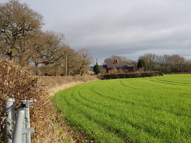
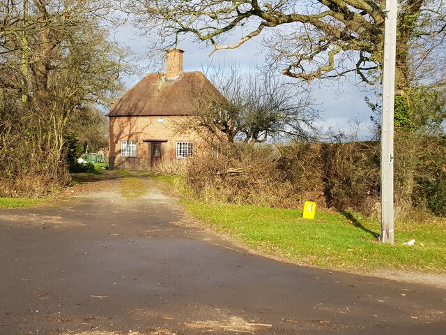
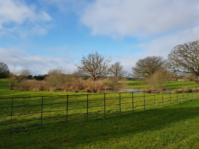
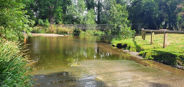
Westminster Pool is a picturesque freshwater body located in Warwickshire, England. It is situated in close proximity to the historic town of Westminster and covers an area of approximately 10 acres. The pool is surrounded by lush greenery, creating a serene and tranquil atmosphere for visitors.

The pool is primarily fed by natural springs and rainfall runoff, ensuring a constant flow of freshwater. Its crystal-clear waters provide a habitat for a diverse range of aquatic plant species, including water lilies and reeds, which add to the pool's natural beauty.

The pool itself is relatively shallow, with an average depth of around 2 meters. This makes it an ideal environment for various freshwater fish species, such as roach, perch, and carp. Anglers often frequent the pool, taking advantage of its abundant fish population.

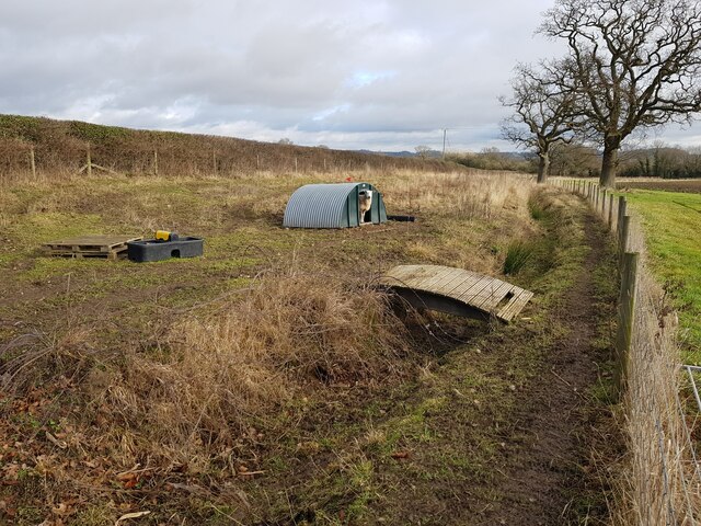
Adjacent to the pool, there is a small pond and a freshwater marsh, further enhancing the biodiversity of the area. The marsh is home to a variety of plant and animal species, including frogs, dragonflies, and waterfowl. It serves as an important breeding ground and provides a habitat for many wetland plants.

The pool is also a popular spot for recreational activities such as swimming, canoeing, and picnicking. Its tranquil surroundings and scenic beauty make it an excellent destination for nature lovers and those seeking a peaceful escape from the hustle and bustle of everyday life.

Overall, Westminster Pool in Warwickshire offers visitors a chance to immerse themselves in the beauty of nature, whether it be through fishing, wildlife observation, or simply enjoying the serenity of the surroundings.

If you have any feedback on the listing, please let us know in the comments section below.

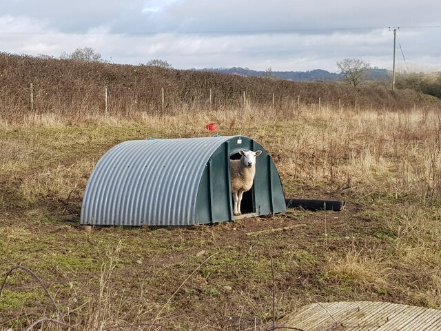
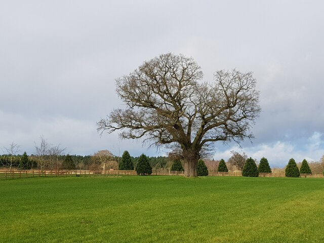
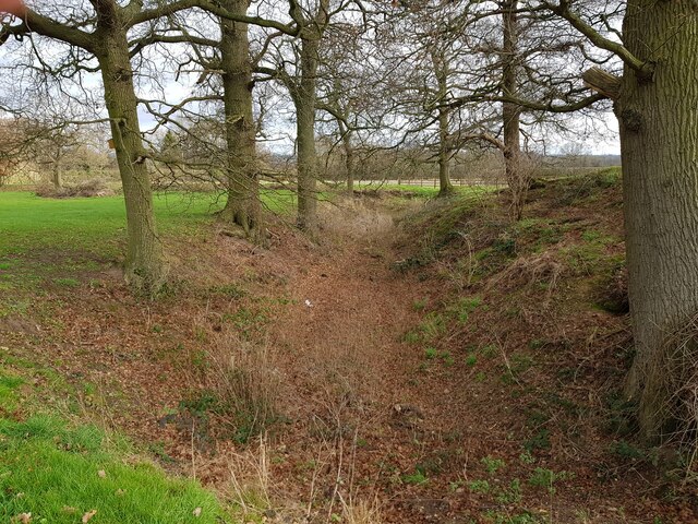
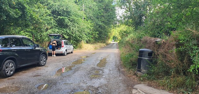
Westminster Pool Images

Images are sourced within 2km of 52.242829/-1.8778118 or Grid Reference SP0860. Thanks to Geograph Open Source API. All images are credited.

Field boundary next to Coughton Lane
House at start of lane to Coughton Lodge On the Millennium Way.
House at start of lane to Coughton Lodge
On the Millennium Way.
Pond near Coughton Lodge
Sheep pen and dry stream near Coughton Lodge
Sheep looking out of shelter, Coughton Lodge
Lone tree in large lawn, Coughton Lodge The footpath has been diverted from that shown on maps around an extended lawn.
Lone tree in large lawn, Coughton Lodge
The footpath has been diverted from that shown on maps around an extended lawn.
Wike Moat, Coughton The moat forms a rough square but is cut by lane to Coughton Lodge.
Wike Moat, Coughton
The moat forms a rough square but is cut by lane to Coughton Lodge.
House on Sambourne Lane, Coughton
Sheep in field with scrub shrouded pond behind  Off Sambourne Lane, Coughton.
Sheep in field with scrub shrouded pond behind
Off Sambourne Lane, Coughton.
Looking towards Coughton Lodge from Coughton Park
Horse and rider on bridleway Coughton Park
Bridleway on edge of wood, Coughton Park
Bridleway through Coughton Park woodland There was an unusual lack of bird activity in these woods.
Bridleway through Coughton Park woodland
There was an unusual lack of bird activity in these woods.
Road away from the ford at Coughton
The ford at Coughton
The Catholic Church at Coughton Court, West Porch
St Peter's Anglican Church, Coughton Court, Warwickshire
Coughton Court
Coughton Court
Show me another place!

Westminster Pool is located at Grid Ref: SP0860 (Lat: 52.242829, Lng: -1.8778118)

Administrative County: Warwickshire

District: Stratford-on-Avon

Police Authority: Warwickshire

What 3 Words

///dressings.dividers.snacks. Near Alcester, Warwickshire

Related Wikis

St Peter and St Paul and St Elizabeth Catholic Church, Coughton

St Peter and St Paul and St Elizabeth Catholic Church is a Catholic church built between 1851 and 1853 by the Throckmorton family in the grounds of their...

Coughton Court

Coughton Court (grid reference SP080604) is an English Tudor country house, situated on the main road between Studley and Alcester in Warwickshire. It...

Coughton, Warwickshire

Coughton is a small village located between Studley 2.4 miles (4 km) to the North and Alcester, 2 miles (3 km) to the South, in the county of Warwickshire...

Coughton railway station

Coughton railway station serving Coughton, Warwickshire was a station on the Barnt Green to Evesham line. The station was opened by the Evesham and Redditch...

St Leonard's Church, Spernall

St Leonard's Church is a redundant church in Spernall, Warwickshire, England. It is recorded in the National Heritage List for England as a designated...

Spernall

Spernall is a remote village 4 miles (6.4 km) north of Alcester in the parish of Oldberrow, Morton Bagot, and Spernall, in the Stratford-on-Avon District...

River Arrow Nature Reserve

River Arrow Nature Reserve is a local nature reserve located alongside the River Arrow in Alcester, Warwickshire, England. The reserve was set up by Stratford...

Alcester Abbey

Alcester Abbey was a Benedictine monastery in Alcester, Warwickshire in England, founded in 1138 by the Botellers of Oversley, Warwickshire. Its many endowments...

Nearby Amenities

Located within 500m of 52.242829,-1.8778118
Coughton Ford
Ford: yes
Lat/Long: 52.2412106/-1.8766947
Crossing
Bicycle: yes
Crossing: traffic_signals
Source: survey
Lat/Long: 52.2413644/-1.8839661
Post Box
Collection Times: Mo-Fr 16:30; Sa 07:30
Operator: Royal Mail
Operator Wikidata: Q638098
Post Box Type: pillar
Ref: B49 87
Royal Cypher: EIIR
Royal Cypher Wikidata: Q33102113
Source: GPS Survey
Lat/Long: 52.241091/-1.8839797
Bus Stop
Coughton Court
Bus: yes
Naptan AtcoCode: 4200F017600
Naptan Bearing: N
Naptan CommonName: Coughton Court
Naptan Indicator: Opp
Naptan NaptanCode: waramwtm
Naptan Street: Birmingham Road
Naptan Verified: no
Public Transport: platform
Source: naptan_import
Lat/Long: 52.2412151/-1.8839787
Bus Stop
Coughton Court
Bus: yes
Naptan AtcoCode: 4200F017602
Naptan Bearing: S
Naptan CommonName: Coughton Court
Naptan Indicator: Adj
Naptan NaptanCode: waramwtp
Naptan Street: Birmingham Road
Naptan Verified: no
Public Transport: platform
Source: naptan_import
Lat/Long: 52.2412247/-1.8839015
Coughton Cross
Heritage: 2
Heritage Operator: Historic England
Historic: wayside_cross
Listed Status: Grade II
Source: survey;bing
Wikidata: Q4787912
Wikimedia Commons: Category:Coughton Cross
Wikipedia: en:Arden, Warwickshire
Lat/Long: 52.2410741/-1.8838163
Barrier: kissing_gate
Lat/Long: 52.2403079/-1.8754846
Barrier: kissing_gate
Lat/Long: 52.2433995/-1.8753651
Bollard: removable
Lat/Long: 52.2444452/-1.8774897
Barrier: kissing_gate
Lat/Long: 52.2403172/-1.8724888
Barrier: kissing_gate
Lat/Long: 52.2420122/-1.8743061
Barrier: kissing_gate
Lat/Long: 52.2420484/-1.874372
Barrier: kissing_gate
Lat/Long: 52.2457161/-1.8810541
Barrier: kissing_gate
Lat/Long: 52.2469215/-1.8750056
Entrance: main
Lat/Long: 52.2430617/-1.8792503
Speed Camera
Maxspeed: 40 mph
Lat/Long: 52.2443067/-1.8847146
Bench
Backrest: yes
Material: wood
Seats: 3
Source: survey
Lat/Long: 52.2411899/-1.8838601
Access: no
Barrier: cattle_grid
Bicycle: no
Foot: no
Motorcar: private
Motorcycle: private
Lat/Long: 52.2415488/-1.8835554
Access: permissive
Barrier: kissing_gate
Bicycle: no
Foot: permissive
Horse: no
Lat/Long: 52.2415573/-1.8835567
Cafe
Coughton Kitchen Café
Addr City: Alcester
Addr Postcode: B49 5JA
Addr Street: Coughton Court
Addr Suburb: Coughton
Diet Vegan: yes
Diet Vegetarian: yes
Fhrs Id: 503958
Smoking: no
Source Addr: FHRS Open Data
Wheelchair: yes
Lat/Long: 52.2440646/-1.8795361
Cafe
Stables Coffee Bar
Diet Vegan: yes
Diet Vegetarian: yes
Smoking: no
Source: survey
Wheelchair: yes
Lat/Long: 52.2442738/-1.8795918
Toilets
Changing Table: yes
Check Date: 2023-11-05
Fee: no
Source: survey
Wheelchair: yes
Lat/Long: 52.244305/-1.8792839
Give Way
Direction: forward
Source: Warwickshire CC Aerial Imagery
Lat/Long: 52.2409989/-1.883849
Stop
Source: Warwickshire CC Aerial Imagery
Lat/Long: 52.2416752/-1.8840954
Barrier: kissing_gate
Lat/Long: 52.2458005/-1.8802795
Access: yes
Entrance: main
Wheelchair: yes
Lat/Long: 52.2442388/-1.8795644
Access: yes
Entrance: main
Wheelchair: yes
Lat/Long: 52.2442391/-1.879315
Access: yes
Entrance: main
Wheelchair: yes
Lat/Long: 52.2442659/-1.8793591
Access: yes
Entrance: main
Wheelchair: yes
Lat/Long: 52.2440914/-1.8795937
Access: yes
Entrance: exit
Lat/Long: 52.2435456/-1.8799281
Material: wood
Power: pole
Lat/Long: 52.2388237/-1.8762079
Material: wood
Power: pole
Lat/Long: 52.239447/-1.8767993
Material: wood
Power: pole
Lat/Long: 52.2400752/-1.8773827
Material: wood
Power: pole
Lat/Long: 52.2406591/-1.8779312
Material: wood
Power: pole
Lat/Long: 52.2409088/-1.8781766
Coughton
Material: wood
Power: pole
Transformer: distribution
Voltage Primary: 11000
Lat/Long: 52.2412159/-1.8784757
Telephone
Booth: K6
Covered: booth
Heritage: 2
Heritage Operator: Historic England
Listed Status: Grade II
Operator: BT
Phone: +44 1789 762599
Source: survey
Lat/Long: 52.2412614/-1.8840517
Barrier: kissing_gate
Lat/Long: 52.2413579/-1.8739149
Barrier: kissing_gate
Lat/Long: 52.2413102/-1.8791808
Barrier: kissing_gate
Lat/Long: 52.2446436/-1.8843157
Heritage: 2
Heritage Operator: Historic England
Historic: tomb
Listed Status: Grade II
Tomb: chest
Lat/Long: 52.243048/-1.8791999
Heritage: 2
Heritage Operator: Historic England
Historic: wayside_cross
Listed Status: Grade II
Religion: christian
Lat/Long: 52.2430464/-1.8791556
Defibrillator
Access: yes
Defibrillator Location: attached to wall behind the red phone box, Birmingham Road, Coughton
Emergency: defibrillator
Indoor: no
Source: survey
Lat/Long: 52.2412586/-1.8840896
Power: pole
Source: bing
Lat/Long: 52.2464976/-1.8803197
Power: pole
Source: bing
Lat/Long: 52.2458268/-1.8802017
Power: pole
Source: bing
Lat/Long: 52.2451896/-1.8799764
Power: pole
Source: bing
Lat/Long: 52.2395924/-1.882275
Power: pole
Source: bing
Lat/Long: 52.2402534/-1.882216
Power: pole
Source: bing
Lat/Long: 52.2405097/-1.8807851
Power: pole
Source: bing
Lat/Long: 52.2407298/-1.8793769
Access: permissive
Barrier: swing_gate
Bicycle: no
Horse: no
Motor Vehicle: no
Wheelchair: limited
Lat/Long: 52.2446772/-1.8804438
Stop
Direction: backward
Lat/Long: 52.2409923/-1.8839461
Bicycle Parking
Bicycle Parking: wall_loops
Capacity: 5
Covered: no
Lat/Long: 52.2442926/-1.8803246
Access: permissive
Barrier: swing_gate
Bicycle: no
Horse: no
Locked: no
Locked Conditional: Coughton opening Hours
Material: wood
Motor Vehicle: no
Wheelchair: limited
Lat/Long: 52.2461977/-1.8741905
The data included in this document is from www.openstreetmap.org. The data is made available under ODbL.

Have you been to Westminster Pool?

Leave your review of Westminster Pool below (or comments, questions and feedback).