Blackedge Reservoir
Lake, Pool, Pond, Freshwater Marsh in Derbyshire High Peak
England
Blackedge Reservoir

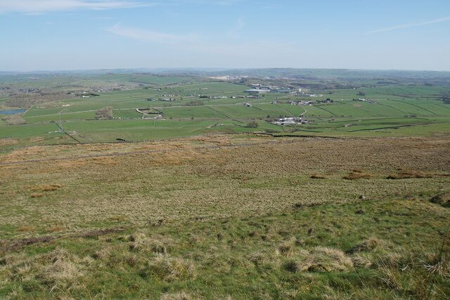
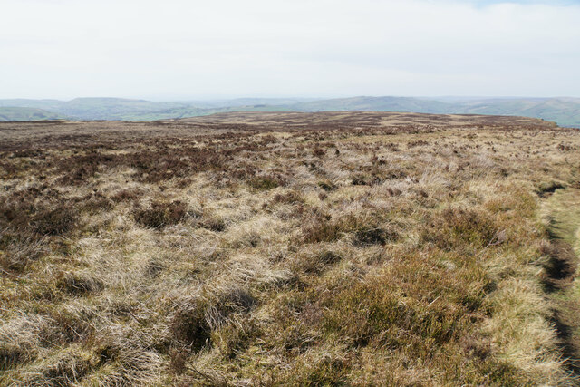
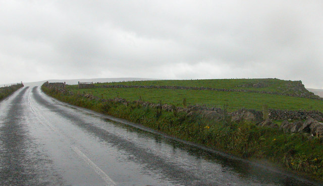
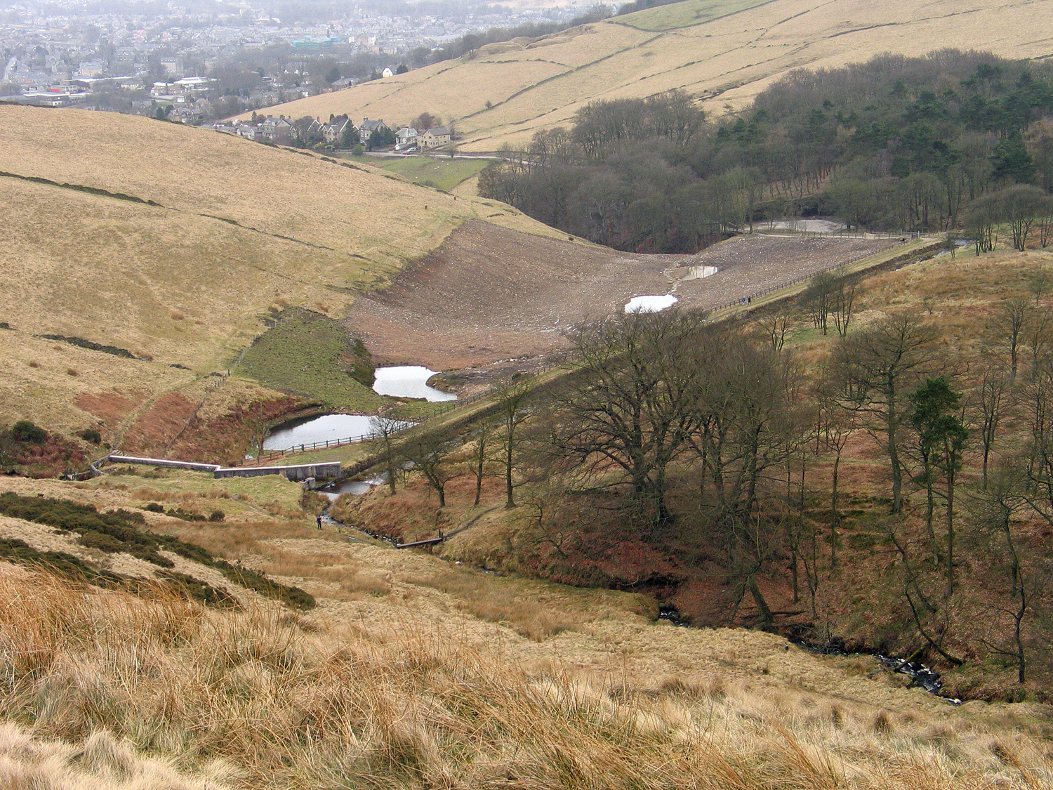
Blackedge Reservoir is a picturesque freshwater reservoir located in the Peak District National Park, Derbyshire, England. Spanning an area of approximately 40 hectares, it is nestled amidst the rolling hills and moorlands of the Dark Peak. The reservoir is situated at an elevation of 380 meters above sea level, offering stunning panoramic views of the surrounding countryside.
Originally constructed in the late 19th century to supply water to the nearby town of Bolton, Blackedge Reservoir now primarily serves as a recreational spot for locals and visitors alike. It is a popular destination for outdoor enthusiasts, offering opportunities for walking, birdwatching, fishing, and picnicking.
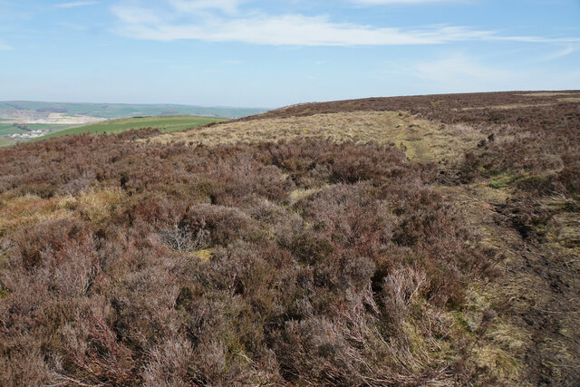
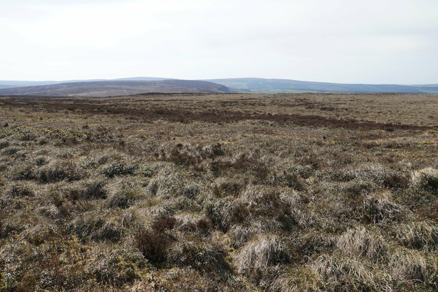
The reservoir is surrounded by a mix of woodland and open grasslands, providing a diverse habitat for a wide range of flora and fauna. The shores are lined with reed beds, which create a thriving freshwater marsh ecosystem. This attracts numerous bird species, including herons, ducks, and grebes, making it a haven for birdwatchers.
Fishing is another popular activity at Blackedge Reservoir, with anglers often seeking out brown trout, pike, and perch. The reservoir is regularly stocked, ensuring a healthy fish population and providing ample opportunities for both seasoned and novice anglers.
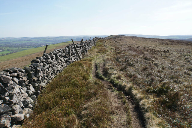
Access to Blackedge Reservoir is unrestricted, and there are well-maintained footpaths that allow visitors to explore the area. The reservoir is also part of a larger network of walking trails, making it an ideal starting point for longer hikes in the surrounding countryside.
Overall, Blackedge Reservoir offers a tranquil and scenic escape for nature lovers, providing a range of recreational activities in a stunning natural setting.
If you have any feedback on the listing, please let us know in the comments section below.
Blackedge Reservoir Images
Images are sourced within 2km of 53.285338/-1.8991039 or Grid Reference SK0676. Thanks to Geograph Open Source API. All images are credited.


Blackedge Reservoir is located at Grid Ref: SK0676 (Lat: 53.285338, Lng: -1.8991039)
Administrative County: Derbyshire
District: High Peak
Police Authority: Derbyshire
What 3 Words
///umbrellas.share.trial. Near Dove Holes, Derbyshire
Nearby Locations
Related Wikis

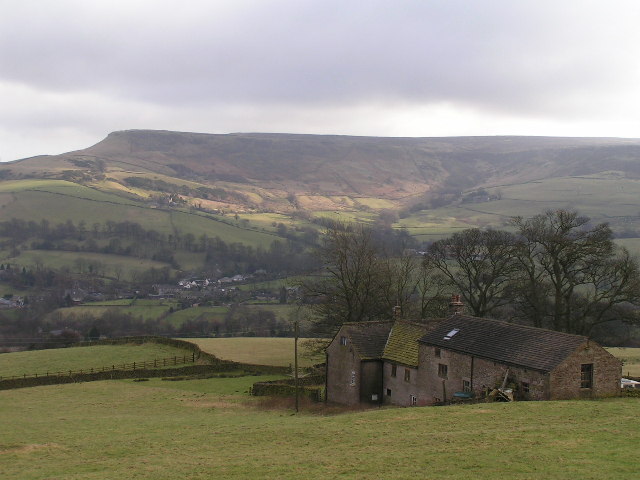
Black Edge
Black Edge is a summit, 507 metres (1,663 ft) high, on a sharp ridgeline above the village of Dove Holes in the Dark Peak area of the Peak District in...
Batham Gate
Batham Gate is the medieval name for a Roman road in Derbyshire, England, which ran south-west from Templebrough on the River Don in South Yorkshire to...
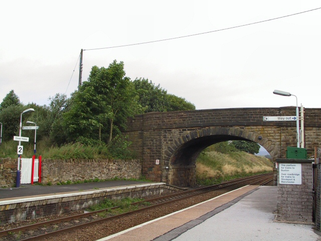
Dove Holes railway station
Dove Holes railway station serves the village of Dove Holes, Derbyshire, England. The station is on the Buxton line between Manchester Piccadilly and Buxton...

Dove Holes
Dove Holes is a village in the High Peak district of Derbyshire, England. It has a population of about 1,200 (2001), shown in the 2011 Census as being...
Lightwood Reservoir
Lightwood Reservoir is an empty reservoir near the town of Buxton, Derbyshire, and associated wildlife reserve. Formerly operated by Severn Trent Water...

The Bull Ring
The Bull Ring is a Class II henge that was built in the late Neolithic period near Dove Holes in Derbyshire, England.It has coordinates 53.300695°N 1.884423...

Fairfield Halt railway station
Fairfield Halt was a railway station at Fairfield near Buxton, Derbyshire that was open between 1907 and 1939. The station was opened by the London & North...
Combs Moss
Combs Moss is a plateau-topped hill between Chapel-en-le-Frith and Buxton in Derbyshire, in the Peak District. The summit, Combs Head, is 503 metres (1...
Nearby Amenities
Located within 500m of 53.285338,-1.8991039Have you been to Blackedge Reservoir?
Leave your review of Blackedge Reservoir below (or comments, questions and feedback).