Black John's Pool

Lake, Pool, Pond, Freshwater Marsh in Gloucestershire Cotswold

England

Black John's Pool

The Windrush Way near Hawling Very pleasant walking, though most of the views are to the east.
The Windrush Way near Hawling Credit: Bill Boaden

Black John's Pool is a picturesque freshwater marsh located in the county of Gloucestershire, England. Nestled within the enchanting Forest of Dean, this natural gem offers a serene and tranquil retreat for nature enthusiasts and visitors alike.

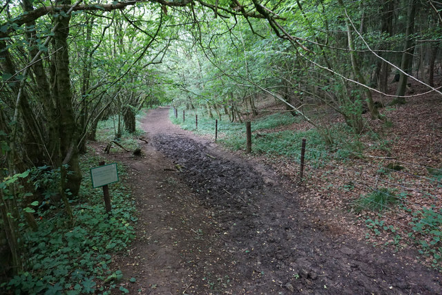
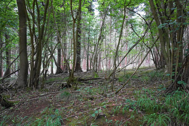
With a surface area of approximately ten acres, Black John's Pool is a relatively small body of water, often referred to as a pool or pond. Surrounded by lush vegetation and towering trees, it provides a haven for a diverse range of flora and fauna. The pool is fed by natural springs and rainwater, ensuring a constant supply of fresh water throughout the year.

The pool's name is derived from a local legend, where it is said that a man named Black John once lived near its banks. The legend tells tales of his mysterious disappearance, leading to the pool being named after him.

The pool is teeming with wildlife, making it a popular spot for birdwatching and nature walks. Rare species such as kingfishers, herons, and dragonflies can be spotted in and around the pool. The abundance of aquatic plants, including water lilies and reeds, provides a vibrant habitat for numerous species of fish and amphibians.

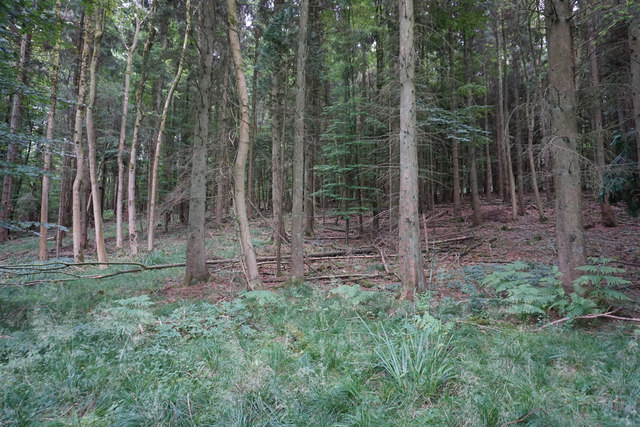
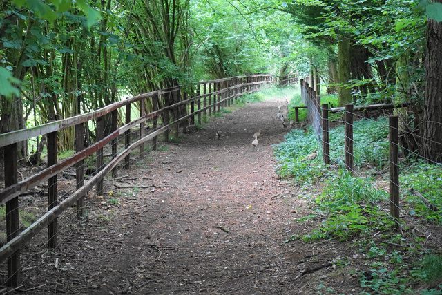
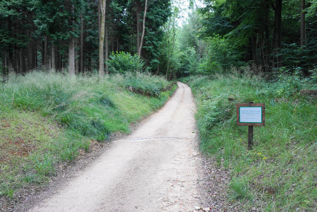
Surrounded by the stunning Forest of Dean, visitors to Black John's Pool can enjoy the tranquility of the area while exploring the nearby woodland trails. The pool offers a remarkable opportunity to connect with nature and experience the beauty of Gloucestershire's countryside.

If you have any feedback on the listing, please let us know in the comments section below.

Black John's Pool Images

Images are sourced within 2km of 51.931169/-1.9044153 or Grid Reference SP0625. Thanks to Geograph Open Source API. All images are credited.

The Windrush Way near Hawling Very pleasant walking, though most of the views are to the east.
The Windrush Way near Hawling
Very pleasant walking, though most of the views are to the east.
Harvested fields near Roel Hill A harvester and a tractor are still at work, both sending up clouds of dust.
Harvested fields near Roel Hill
A harvester and a tractor are still at work, both sending up clouds of dust.
The Windrush Way by a harvested field Looking in the direction of Hawling.
The Windrush Way by a harvested field
Looking in the direction of Hawling.
Poppies by a cabbage field The crop is certainly some member of the brassica family, but there are lots of invaders in the field and I wonder if the crop will be harvested.
Poppies by a cabbage field
The crop is certainly some member of the brassica family, but there are lots of invaders in the field and I wonder if the crop will be harvested.
Harvested field by Roel Gate Looking uphill from the crossroads.
Harvested field by Roel Gate
Looking uphill from the crossroads.
The Windrush Way heading towards Winchcombe It uses a farm track to begin quite a long descent to Winchcombe.
The Windrush Way heading towards Winchcombe
It uses a farm track to begin quite a long descent to Winchcombe.
Former quarry above Charlton Abbots Now buried in woodland and undergrowth.
Former quarry above Charlton Abbots
Now buried in woodland and undergrowth.
Field below Bespidge Wood The Cotswold hillside slopes down towards the Isbourne valley.
Field below Bespidge Wood
The Cotswold hillside slopes down towards the Isbourne valley.
Track to Spoonley farm The Windrush Way uses this track on its way down the Cotswold escarpment to Winchcombe. Spoonley farm is now more a nice residence than a farm. the driveway looks a bit manicured.
Track to Spoonley farm
The Windrush Way uses this track on its way down the Cotswold escarpment to Winchcombe. Spoonley farm is now more a nice residence than a farm. the driveway looks a bit manicured.
Open field above Parks Farm Parks Farm is in the trees ahead, and the lane is its main access route. This is near the top of the Cotswolds escarpment, with views over the valley of the Isbourne.
Open field above Parks Farm
Parks Farm is in the trees ahead, and the lane is its main access route. This is near the top of the Cotswolds escarpment, with views over the valley of the Isbourne.
Track to Parks Farm Part of the Sudeley Estate. You can see down into the Isbourne valley with Winchcombe visible to the right.
Track to Parks Farm
Part of the Sudeley Estate. You can see down into the Isbourne valley with Winchcombe visible to the right.
Harvested field by the Wardens' Way Many maps appear to show the path cutting off this corner of the field.
Harvested field by the Wardens' Way
Many maps appear to show the path cutting off this corner of the field.
The Wardens' Way entering Guiting Wood Signs make it clear that this is part of the Farmcote Estate. The woodland to the right is supposedly protected by Gurkha Security.
The Wardens' Way entering Guiting Wood
Signs make it clear that this is part of the Farmcote Estate. The woodland to the right is supposedly protected by Gurkha Security.
Forest in Guiting Wood Looking up from the Wardens' Way.
Forest in Guiting Wood
Looking up from the Wardens' Way.
Path by Guiting Wood The path runs by the edge of the wood but there are still only limited opportunities to look out to the left. Ahead on the path are numerous pheasants scuttling away, and they provide an almost continuous rustling sound in the undergrowth.
Path by Guiting Wood
The path runs by the edge of the wood but there are still only limited opportunities to look out to the left. Ahead on the path are numerous pheasants scuttling away, and they provide an almost continuous rustling sound in the undergrowth.
Estate road by Guiting Wood Part of the Farmcote Estate. The road has been fairly recently constructed and does not appear on the OS map.
Estate road by Guiting Wood
Part of the Farmcote Estate. The road has been fairly recently constructed and does not appear on the OS map.
Track through Guiting Wood This part of the track is used by the Wardens' Way and the Winchcombe Way. The sign warns of electric fences but there are none in sight here.
Track through Guiting Wood
This part of the track is used by the Wardens' Way and the Winchcombe Way. The sign warns of electric fences but there are none in sight here.
Woodland in Guiting Wood The woodland is not thick here, but there are no views of any distance available.
Woodland in Guiting Wood
The woodland is not thick here, but there are no views of any distance available.
Show me another place!

Black John's Pool is located at Grid Ref: SP0625 (Lat: 51.931169, Lng: -1.9044153)

Administrative County: Gloucestershire

District: Cotswold

Police Authority: Gloucestershire

What 3 Words

///clenching.eyelid.headline. Near Winchcombe, Gloucestershire

Related Wikis

Spoonley Wood Roman Villa

Spoonley Wood Roman Villa is an ancient Roman villa located 2 km south-east of Sudeley Castle near the town of Winchcombe, in Gloucestershire, England...

Pinnock and Hyde

Pinnock and Hyde was a township and civil parish in the Cotswolds in Gloucestershire, England. It lies 4 miles (6.4 km) east of the town of Winchcombe...

Temple Guiting Preceptory

Temple Guiting Preceptory was a medieval monastic house of the Knights Templar in Gloucestershire, England. It was founded around the middle of the twelfth...

Barton, Gloucestershire

Barton is a village in Gloucestershire, on the Windrush River, near Naunton. It appears in written records as Berton as early as 1287. == References... ==

Hawling Manor, Gloucestershire

Hawling Manor in Hawling, Gloucestershire is a Grade II listed building. == History == Information from Country Life states that the manor "was held in...

St Faith, Farmcote

St Faith, Farmcote is a chapel of ease in Farmcote, Gloucestershire, two miles west-north-west of Temple Guiting. It has been designated by English Heritage...

Farmcote

Farmcote is a hamlet in the Cotswolds in Gloucestershire, England. It lies 2 miles (3.2 km) east of the town of Winchcombe and 2 miles (3.2 km) west of...

Guiting Power

Guiting Power is a village and civil parish in the Cotswolds, in Gloucestershire, England. The population of the parish at the 2011 census was 296.Guiting...

Nearby Amenities

Located within 500m of 51.931169,-1.9044153
Power: pole
Lat/Long: 51.9285742/-1.8998515
Power: pole
Lat/Long: 51.9287554/-1.9013676
Power: pole
Lat/Long: 51.9289452/-1.9028747
Power: pole
Lat/Long: 51.9291248/-1.9043882
Power: pole
Lat/Long: 51.9292809/-1.9056156
Power: pole
Lat/Long: 51.9294659/-1.9071519
Power: pole
Lat/Long: 51.9296048/-1.9082546
Power: pole
Lat/Long: 51.9297875/-1.9097084
Power: pole
Lat/Long: 51.9299616/-1.911157
The data included in this document is from www.openstreetmap.org. The data is made available under ODbL.

Have you been to Black John's Pool?

Leave your review of Black John's Pool below (or comments, questions and feedback).