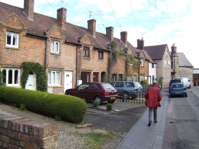
Bengeworth Lake

Lake, Pool, Pond, Freshwater Marsh in Worcestershire Wychavon

England

Bengeworth Lake

Oat St  Car Park, Evesham The pay and display car park in Oat St in Evesham, with associated signs.
Oat St Car Park, Evesham Credit: Rob Newman

Bengeworth Lake is a picturesque freshwater body located in Worcestershire, England. It is classified as a lake and is often referred to as a pool or pond due to its relatively small size. The lake covers an area of approximately 2.5 acres and is nestled within the rural landscape of Bengeworth, a small village near the town of Evesham.

Surrounded by lush greenery and gentle rolling hills, Bengeworth Lake offers a tranquil and serene environment for visitors. The lake is accessible via a footpath that winds its way through the surrounding fields, providing an opportunity for leisurely walks and enjoying the natural beauty of the area.

The water in Bengeworth Lake is supplied by a combination of natural springs and rainfall, resulting in a clean and clear freshwater ecosystem. This has made the lake a popular spot for various aquatic species, including fish, amphibians, and waterfowl. Anglers often frequent the lake, hoping to catch a variety of fish such as carp, roach, and perch.

The vegetation surrounding Bengeworth Lake consists of reeds, rushes, and other wetland plants, creating a freshwater marsh ecosystem. This marshland serves as a habitat for numerous bird species, including swans, ducks, and herons, making it a haven for birdwatchers.

Overall, Bengeworth Lake offers a peaceful retreat for nature enthusiasts, providing an ideal setting for leisurely walks, birdwatching, and fishing. Its small size and natural surroundings make it an accessible and charming destination for both locals and tourists alike.

If you have any feedback on the listing, please let us know in the comments section below.

Bengeworth Lake Images

Images are sourced within 2km of 52.081626/-1.927239 or Grid Reference SP0542. Thanks to Geograph Open Source API. All images are credited.

Oat St  Car Park, Evesham The pay and display car park in Oat St in Evesham, with associated signs.
Oat St Car Park, Evesham
The pay and display car park in Oat St in Evesham, with associated signs.
Paved Square, Evesham A paved square just off the High St, Evesham
Paved Square, Evesham
A paved square just off the High St, Evesham
F Hinds Building and Pedestrian Area, Evesham Detail of the building containing the firm of F Hinds in Evesham and pedestrianised area
F Hinds Building and Pedestrian Area, Evesham
Detail of the building containing the firm of F Hinds in Evesham and pedestrianised area
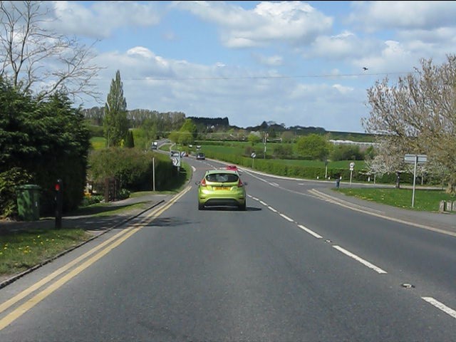
A44 - view across the Badsey Brook's valley
A44 at Leystones Garage
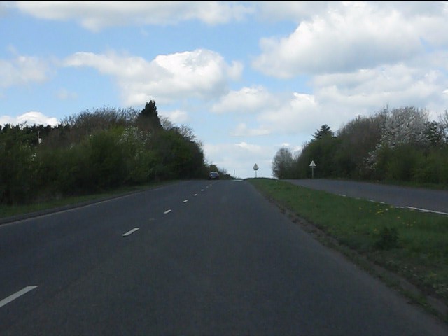
A brief interlude of dual carriageway Blessed relief on the A44 over Longdon Hill!
A brief interlude of dual carriageway
Blessed relief on the A44 over Longdon Hill!
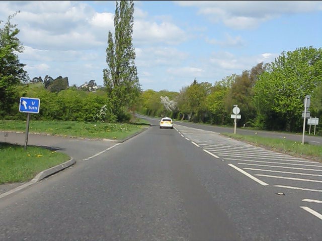
Dual carriageway ends on the A44 The north side of Longdon Hill's dual carriageway.  The "U" turn facility is interesting: this is the only signpost for it.
Dual carriageway ends on the A44
The north side of Longdon Hill's dual carriageway. The "U" turn facility is interesting: this is the only signpost for it.
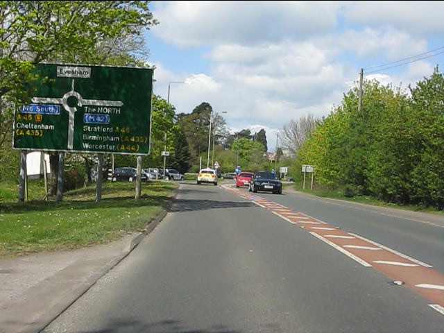
A44 approaches the Evesham bypass The A44 and A46 are conjoined for the bypass, going separate ways again near Twyford.
A44 approaches the Evesham bypass
The A44 and A46 are conjoined for the bypass, going separate ways again near Twyford.
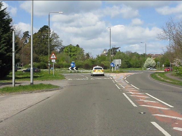
A44 southern roundabout, Evesham bypass
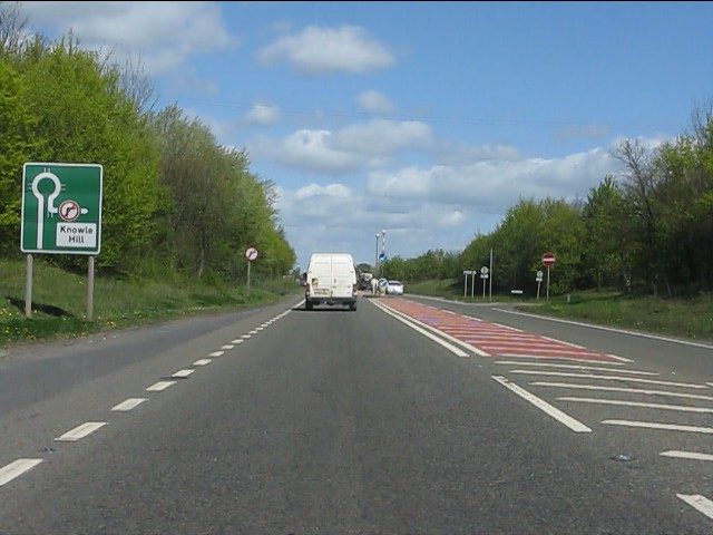
Evesham bypass - no right turn ahead for Knowle Hill
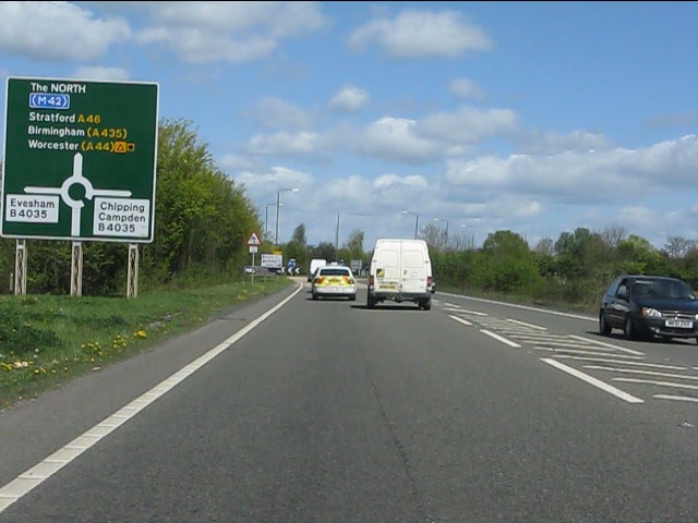
Evesham bypass - approaching the B4035 roundabout
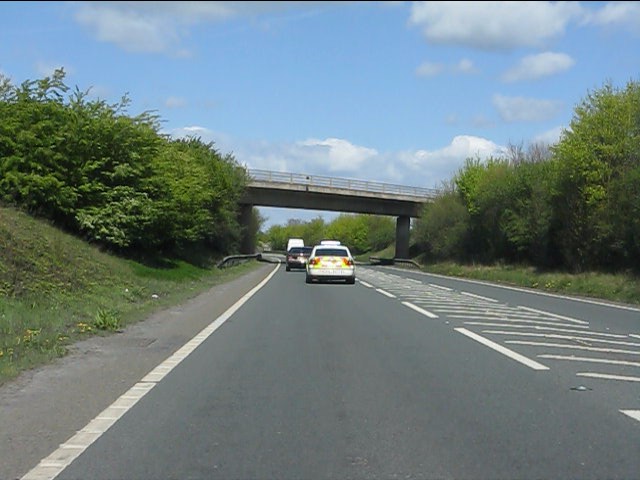
Evesham bypass - B4510 overbridge
The River Avon at Evesham looking upstream
St Lawrence's Church in Evesham from the nearby Bell Tower
The main east window in St Lawrence's Church, Evesham The window depicts the Resurrection, the Last Supper, the Evangelists, the Arms of the Worcester diocese, the grid-iron on which St Lawrence died and the Arms of Evesham Abbey.
The main east window in St Lawrence's Church, Evesham
The window depicts the Resurrection, the Last Supper, the Evangelists, the Arms of the Worcester diocese, the grid-iron on which St Lawrence died and the Arms of Evesham Abbey.
The Last Supper depicted in the main east window of St Lawrence's Church, Evesham
New asparagus season in Evesham
Abbey Road Nurseries Remarkable to find a nursery this close to the town centre.
Abbey Road Nurseries
Remarkable to find a nursery this close to the town centre.
Show me another place!

Bengeworth Lake is located at Grid Ref: SP0542 (Lat: 52.081626, Lng: -1.927239)

Administrative County: Worcestershire

District: Wychavon

Police Authority: West Mercia

What 3 Words

///parade.rats.relies. Near Evesham, Worcestershire

Nearby Locations

Bengeworth Lake

Related Wikis

Bengeworth

Bengeworth is a locality adjoining Evesham in Worcestershire, England. In 1887 it had a population of 1,311. Today it has a school and an Anglican church...

Vale of Evesham School

Vale of Evesham School in Evesham, in the county of Worcestershire, England, is a special needs school for around 150 mixed gender pupils aged 3 to 19...

The De Montfort School

The De Montfort School (formerly known as The Federation of Evesham High School & Simon de Montfort Middle School) is a co-educational secondary school...

Evesham Rowing Club

Evesham Rowing Club is a rowing club on the River Avon, based at The Boathouse, Abbey Park, Evesham, Worcestershire. == History == The club was founded...

Nearby Amenities

Located within 500m of 52.081626,-1.927239
Crossing
Crossing: unmarked
Crossing Markings: no
Tactile Paving: yes
Lat/Long: 52.0849599/-1.9255944
Crossing
Crossing: unmarked
Crossing Island: no
Crossing Markings: no
Kerb: lowered
Tactile Paving: no
Lat/Long: 52.0841818/-1.9309797
Crossing
Crossing: unmarked
Crossing Island: no
Kerb: lowered
Tactile Paving: no
Lat/Long: 52.0824972/-1.9291865
Bus Stop
Sycamore Avenue
Bus: yes
Naptan AtcoCode: 2000G500767
Naptan Bearing: N
Naptan CommonName: Sycamore Avenue
Naptan Indicator: Adj
Naptan Landmark: Sycamore Avenue
Naptan NaptanCode: wocdgmtg
Naptan PlusbusZoneRef: EVESHAM
Naptan Street: Davies Road
Naptan Verified: no
Public Transport: platform
Route Ref: 247
Shelter: no
Source: naptan_import
Lat/Long: 52.0839171/-1.933011
Bus Stop
Sycamore Avenue
Bench: no
Bin: yes
Bus: yes
Naptan AtcoCode: 2000G500768
Naptan Bearing: N
Naptan CommonName: Sycamore Avenue
Naptan Indicator: Opp
Naptan Landmark: Sycamore Avenue
Naptan NaptanCode: wocdgmtj
Naptan PlusbusZoneRef: EVESHAM
Naptan Street: Davies Road
Naptan Verified: no
Public Transport: platform
Route Ref: 28;28A;247
Shelter: no
Source: naptan_import
Lat/Long: 52.0841896/-1.9328559
Maple Close
Naptan AtcoCode: 2000G672009
Naptan Bearing: N
Naptan BusStopType: CUS
Naptan CommonName: Maple Close
Naptan Crossing: Maple Close
Naptan Indicator: Opp
Naptan NaptanCode: wocdwdat
Naptan PlusbusZoneRef: EVESHAM
Naptan Street: Davies Road
Naptan Verified: no
Source: naptan_import
Lat/Long: 52.082711/-1.9327074
Crossing
Crossing: uncontrolled
Tactile Paving: yes
Lat/Long: 52.0849027/-1.9254327
Power: pole
Lat/Long: 52.0775987/-1.924807
Power: pole
Lat/Long: 52.0814675/-1.9232782
Power: pole
Lat/Long: 52.0788499/-1.924925
Power: pole
Lat/Long: 52.0838196/-1.9210734
Power: pole
Lat/Long: 52.0801669/-1.9240989
Power: pole
Lat/Long: 52.0824292/-1.9220752
Crossing
Crossing: unmarked
Crossing Island: no
Crossing Markings: no
Kerb: lowered
Tactile Paving: no
Lat/Long: 52.0841529/-1.9288967
Kerb: no
Lat/Long: 52.0837398/-1.9313303
Spider & Web
Artwork Type: mural
Tourism: artwork
Lat/Long: 52.0838005/-1.9333126
Recycling
Recycling Clothes: yes
Recycling Shoes: yes
Lat/Long: 52.0831231/-1.9326915
wot next?
Artwork Type: mural
Tourism: artwork
Lat/Long: 52.0830292/-1.9334951
Pipeline: marker
Type: gas
Lat/Long: 52.0798408/-1.9209986
Historic: milestone
Inscription: (none)
Url: http://www.evesham-mapped.org.uk/images/bway_rd_milestone.jpg
Lat/Long: 52.0856404/-1.9289129
Generator Method: photovoltaic
Generator Output Electricity: yes
Generator Source: solar
Generator Type: solar_photovoltaic_panel
Location: roof
Power: generator
Lat/Long: 52.0804839/-1.932089
Generator Method: photovoltaic
Generator Output Electricity: yes
Generator Source: solar
Generator Type: solar_photovoltaic_panel
Location: roof
Power: generator
Lat/Long: 52.0836672/-1.9310094
Generator Method: photovoltaic
Generator Output Electricity: yes
Generator Source: solar
Generator Type: solar_photovoltaic_panel
Location: roof
Power: generator
Lat/Long: 52.0837298/-1.9311288
Generator Method: photovoltaic
Generator Output Electricity: yes
Generator Source: solar
Generator Type: solar_photovoltaic_panel
Location: roof
Power: generator
Lat/Long: 52.0840108/-1.9323157
Generator Method: photovoltaic
Generator Output Electricity: yes
Generator Source: solar
Generator Type: solar_photovoltaic_panel
Location: roof
Power: generator
Lat/Long: 52.08289/-1.9308794
Generator Method: photovoltaic
Generator Output Electricity: yes
Generator Source: solar
Generator Type: solar_photovoltaic_panel
Location: roof
Power: generator
Lat/Long: 52.0825208/-1.928739
Generator Method: photovoltaic
Generator Output Electricity: yes
Generator Source: solar
Generator Type: solar_photovoltaic_panel
Location: roof
Power: generator
Lat/Long: 52.0818632/-1.9295946
Generator Method: photovoltaic
Generator Output Electricity: yes
Generator Source: solar
Generator Type: solar_photovoltaic_panel
Location: roof
Power: generator
Lat/Long: 52.0813093/-1.93214
Generator Method: photovoltaic
Generator Output Electricity: yes
Generator Source: solar
Generator Type: solar_photovoltaic_panel
Location: roof
Power: generator
Lat/Long: 52.0816044/-1.9319066
Generator Method: photovoltaic
Generator Output Electricity: yes
Generator Source: solar
Generator Type: solar_photovoltaic_panel
Location: roof
Power: generator
Lat/Long: 52.0814593/-1.9311717
Generator Method: photovoltaic
Generator Output Electricity: yes
Generator Source: solar
Generator Type: solar_photovoltaic_panel
Location: roof
Power: generator
Lat/Long: 52.0814758/-1.9313192
Generator Method: photovoltaic
Generator Output Electricity: yes
Generator Source: solar
Generator Type: solar_photovoltaic_panel
Location: roof
Power: generator
Lat/Long: 52.0803121/-1.9317189
Generator Method: photovoltaic
Generator Output Electricity: yes
Generator Source: solar
Generator Type: solar_photovoltaic_panel
Location: roof
Power: generator
Lat/Long: 52.0838131/-1.9277063
Generator Method: photovoltaic
Generator Output Electricity: yes
Generator Source: solar
Generator Type: solar_photovoltaic_panel
Location: roof
Power: generator
Lat/Long: 52.0839548/-1.9287658
Generator Method: photovoltaic
Generator Output Electricity: yes
Generator Source: solar
Generator Type: solar_photovoltaic_panel
Location: roof
Power: generator
Lat/Long: 52.0844262/-1.9296992
Generator Method: photovoltaic
Generator Output Electricity: yes
Generator Source: solar
Generator Type: solar_photovoltaic_panel
Location: roof
Power: generator
Lat/Long: 52.0849701/-1.9316492
Generator Method: photovoltaic
Generator Output Electricity: yes
Generator Source: solar
Generator Type: solar_photovoltaic_panel
Location: roof
Power: generator
Lat/Long: 52.0851036/-1.9309679
Generator Method: photovoltaic
Generator Output Electricity: yes
Generator Source: solar
Generator Type: solar_photovoltaic_panel
Location: roof
Power: generator
Lat/Long: 52.0851152/-1.9308928
Generator Method: photovoltaic
Generator Output Electricity: yes
Generator Source: solar
Generator Type: solar_photovoltaic_panel
Location: roof
Power: generator
Lat/Long: 52.0802692/-1.9324753
Generator Method: photovoltaic
Generator Output Electricity: yes
Generator Source: solar
Generator Type: solar_photovoltaic_panel
Location: roof
Power: generator
Lat/Long: 52.0822324/-1.9313756
Generator Method: photovoltaic
Generator Output Electricity: yes
Generator Source: solar
Generator Type: solar_photovoltaic_panel
Location: roof
Power: generator
Lat/Long: 52.0822208/-1.9313005
Generator Method: photovoltaic
Generator Output Electricity: yes
Generator Source: solar
Generator Type: solar_photovoltaic_panel
Location: roof
Power: generator
Lat/Long: 52.0845284/-1.9279155
Generator Method: photovoltaic
Generator Output Electricity: yes
Generator Source: solar
Generator Type: solar_photovoltaic_panel
Location: roof
Power: generator
Lat/Long: 52.0846454/-1.9272664
Generator Method: photovoltaic
Generator Output Electricity: yes
Generator Source: solar
Generator Type: solar_photovoltaic_panel
Location: roof
Power: generator
Lat/Long: 52.0814725/-1.9338754
Generator Method: photovoltaic
Generator Output Electricity: yes
Generator Source: solar
Generator Type: solar_photovoltaic_panel
Location: roof
Power: generator
Lat/Long: 52.0814807/-1.9337922
Wickhamford Lodge
Power: pole
Transformer: distribution
Voltage Primary: 11000
Lat/Long: 52.0824355/-1.922425
Power: pole
Lat/Long: 52.0820667/-1.9210035
The data included in this document is from www.openstreetmap.org. The data is made available under ODbL.

Have you been to Bengeworth Lake?

Leave your review of Bengeworth Lake below (or comments, questions and feedback).