Blake Mere

Lake, Pool, Pond, Freshwater Marsh in Staffordshire Staffordshire Moorlands

England

Blake Mere

Morridge, cattle grazing On the ridge above Upper Hulme.
Morridge, cattle grazing Credit: Mike Faherty

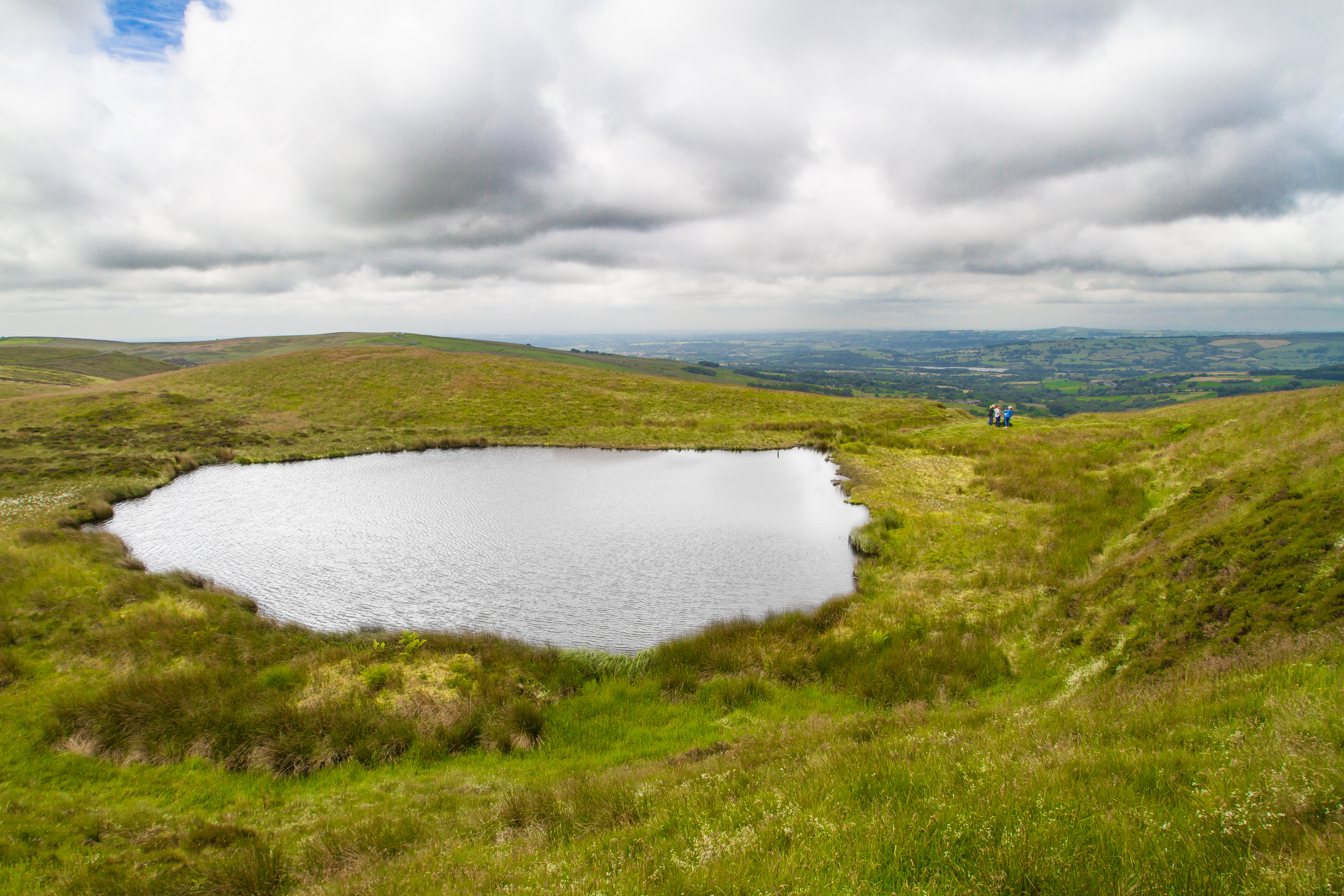
Blake Mere is a picturesque lake located in the county of Staffordshire, England. With its tranquil waters and scenic surroundings, it is a popular destination for nature enthusiasts and those seeking a peaceful retreat.

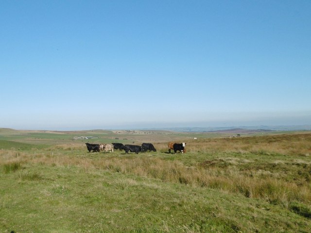
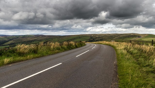
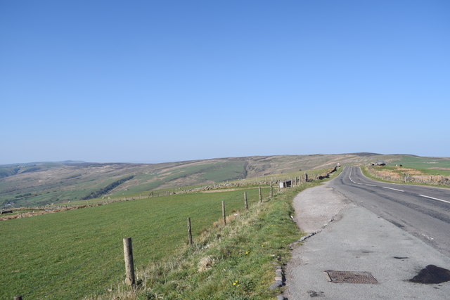
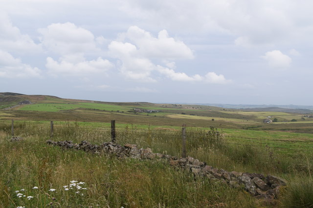
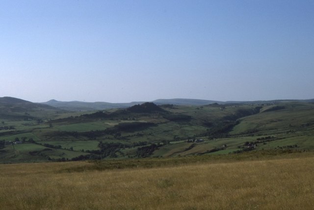
Covering an area of approximately 25 hectares, Blake Mere is characterized by its calm and pristine freshwater, making it an ideal habitat for various aquatic species. The lake is nestled within a diverse landscape, surrounded by lush greenery, including woodlands and meadows, which add to its natural charm.

The lake itself is relatively shallow, with an average depth of around 3 meters. Its crystal-clear waters are home to a rich and diverse ecosystem, supporting a variety of plant and animal life. Visitors can expect to see vibrant water lilies, reeds, and bulrushes along the lake's edges, providing shelter and food for numerous species of birds, insects, and amphibians.

In addition to its natural beauty, Blake Mere offers a range of recreational activities for visitors to enjoy. Fishing is a popular pastime, with the lake being well-stocked with fish such as perch, pike, and roach. Canoeing and kayaking are also common activities, allowing visitors to explore the serene waters at their own pace.

Furthermore, the lake serves as a vital freshwater marsh, playing a crucial role in water filtration and flood prevention. Its marshy areas are home to a variety of wetland plants and provide an important habitat for numerous bird species, including ducks and herons.

Overall, Blake Mere in Staffordshire is a stunning freshwater destination, offering both natural beauty and recreational opportunities for visitors to immerse themselves in the tranquility of this idyllic setting.

If you have any feedback on the listing, please let us know in the comments section below.

Blake Mere Images

Images are sourced within 2km of 53.148619/-1.9419168 or Grid Reference SK0361. Thanks to Geograph Open Source API. All images are credited.

Morridge, cattle grazing On the ridge above Upper Hulme.
Morridge, cattle grazing
On the ridge above Upper Hulme.
Blackshaw Moor Road crossing Blackshaw Moor.
Blackshaw Moor
Road crossing Blackshaw Moor.
Road by the viewpoint Looking north east from  the viewpoint at the northern end of Morridge.
Road by the viewpoint
Looking north east from the viewpoint at the northern end of Morridge.
View from Morridge Looking east south-east from the road a short distance from the more popular viewpoint which looks west off the ridge.
View from Morridge
Looking east south-east from the road a short distance from the more popular viewpoint which looks west off the ridge.
Hill pasture and view, Morridge View of the Roaches (far left), Shutlingsloe, Ramshaw Rocks and Axe Edge from a layby.
Hill pasture and view, Morridge
View of the Roaches (far left), Shutlingsloe, Ramshaw Rocks and Axe Edge from a layby.
Heading south-west on the road on Morridge
View south-east from the road on Morridge top
Direction Sign – Signpost near Upper Elkstone Located on the south side of a junction on Breech Road, northwest of Upper Elkstone, in Warslow and Elkstones parish. 1 remaining arm but lost finial. 

Milestone Society National ID: ST_SK0459
Direction Sign – Signpost near Upper Elkstone
Located on the south side of a junction on Breech Road, northwest of Upper Elkstone, in Warslow and Elkstones parish. 1 remaining arm but lost finial. Milestone Society National ID: ST_SK0459
Staffordshire Moors above Elkstones The tank is inscribed 'for a clean environment', but hardly looks suitable for this particular environment.
Staffordshire Moors above Elkstones
The tank is inscribed 'for a clean environment', but hardly looks suitable for this particular environment.
The lane to Royledge Farm The farm actually visible is High Fields Farm. The two farms are a mere 300 metres apart on opposite sides of the River Hamps; by road the distance is some 3 miles.
The lane to Royledge Farm
The farm actually visible is High Fields Farm. The two farms are a mere 300 metres apart on opposite sides of the River Hamps; by road the distance is some 3 miles.
Hurdlow Farm In the hills north-east of Blackshaw Moor
Hurdlow Farm
In the hills north-east of Blackshaw Moor
Farm track to Morridge Morridge is a high moorland ridge east of Leek. This track rises to a road which runs along the ridge.
Farm track to Morridge
Morridge is a high moorland ridge east of Leek. This track rises to a road which runs along the ridge.
Turn right! No mistaking where to go with this signpost! To the right is to Morridge, a long high moorland ridge east of Leek, and also to Mermaid - the Mermaid Inn on Morridge.
Turn right!
No mistaking where to go with this signpost! To the right is to Morridge, a long high moorland ridge east of Leek, and also to Mermaid - the Mermaid Inn on Morridge.
Step stile in a dry stone wall On the way up to Morridge
Step stile in a dry stone wall
On the way up to Morridge
Cast iron items on the way to Morridge Possibly the remains of a stable with cast iron stalls still standing. They are marked "Musgrave Patent Belfast"
Cast iron items on the way to Morridge
Possibly the remains of a stable with cast iron stalls still standing. They are marked "Musgrave Patent Belfast"
Morridge top road The Mermaid Inn ahead
Morridge top road
The Mermaid Inn ahead
Morridge top road heading north-east
Direction Sign – Signpost near Newtown Located on the north side of the junction of Millmoor Edge, Shawfields and Swallow Moss in Heathylee parish. 4 arms, 1 missing, and pawn finial. See also <a title="https://www.geograph.org.uk/photo/6324291" href="https://www.geograph.org.uk/photo/6324291">Link</a> and <a title="https://www.geograph.org.uk/photo/6526213" href="https://www.geograph.org.uk/photo/6526213">Link</a>.

Milestone Society National ID: ST_SK0462
Direction Sign – Signpost near Newtown
Located on the north side of the junction of Millmoor Edge, Shawfields and Swallow Moss in Heathylee parish. 4 arms, 1 missing, and pawn finial. See also Link and Link. Milestone Society National ID: ST_SK0462
Show me another place!

Blake Mere is located at Grid Ref: SK0361 (Lat: 53.148619, Lng: -1.9419168)

Administrative County: Staffordshire

District: Staffordshire Moorlands

Police Authority: Staffordshire

What 3 Words

///spells.interview.point. Near Leek, Staffordshire

Nearby Locations

Blake Mere

Related Wikis

Blakemere Pond

Blakemere Pond, also known as Black Mere Pool or Mermaid's Pond, is a small, natural lake in Staffordshire, England, six miles north-west of Leek. The...

Merryton Low

Merryton Low is a hill in Staffordshire, England, a few miles east of Leek. It is in the civil parish of Fawfieldhead in the local government district...

River Hamps

The River Hamps is a river in Staffordshire, England. It is a tributary of the River Manifold, which itself flows into the River Dove near Ilam. For much...

Heathylee

Heathylee is a civil parish in the district of Staffordshire Moorlands in north-east Staffordshire, England. There is no village centre. The parish has...

Nearby Amenities

Located within 500m of 53.148619,-1.9419168
Merryton Low
Ele: 489
Is In: Staffordshire Moorlands
Natural: peak
Note: There are no houses here!
Source: https://www.hill-bagging.co.uk/mountaindetails.php?qu=S&rf=16488
Wikidata: Q104840709
Lat/Long: 53.1461389/-1.9396491
Parking
Ele: 470.0000000
Lat/Long: 53.1486954/-1.9410175
Man Made: survey_point
Lat/Long: 53.1461316/-1.9395447
The data included in this document is from www.openstreetmap.org. The data is made available under ODbL.

Have you been to Blake Mere?

Leave your review of Blake Mere below (or comments, questions and feedback).