Biddulph's Pool
Lake, Pool, Pond, Freshwater Marsh in Staffordshire Lichfield
England
Biddulph's Pool

Biddulph's Pool is a freshwater lake located in Staffordshire, England. Situated in the town of Biddulph, it covers an area of approximately 18 hectares and is a prominent feature of the local landscape. The pool is believed to have formed during the last ice age and has since become a significant natural habitat.
Surrounded by lush vegetation and bordered by reed beds, Biddulph's Pool supports a diverse range of aquatic plants and wildlife. The lake is home to various species of fish, including pike, perch, and roach, which thrive in the rich, nutrient-filled waters. Additionally, the pool attracts a variety of water birds, such as swans, ducks, and herons, which nest and feed in the area.
The pool's tranquil and secluded setting makes it a popular spot for nature enthusiasts and photographers. Visitors can enjoy leisurely walks along the lake's perimeter, observing the abundant wildlife and taking in the picturesque scenery. The surrounding area boasts several well-maintained footpaths, providing easy access to the lake and its surrounding marshland.
Biddulph's Pool is also of historical significance. It was once used for ice-skating during winter months and has been a cherished recreational space for locals for many years. Efforts have been made to preserve the natural beauty of the lake, including the establishment of protected areas and ongoing conservation projects.
Overall, Biddulph's Pool offers a peaceful and scenic retreat for both locals and visitors alike, with its diverse ecosystem and rich wildlife making it a valuable natural asset in Staffordshire.
If you have any feedback on the listing, please let us know in the comments section below.
Biddulph's Pool Images
Images are sourced within 2km of 52.684903/-1.9543655 or Grid Reference SK0309. Thanks to Geograph Open Source API. All images are credited.


Biddulph's Pool is located at Grid Ref: SK0309 (Lat: 52.684903, Lng: -1.9543655)
Administrative County: Staffordshire
District: Lichfield
Police Authority: Staffordshire
What 3 Words
///drives.basket.mutual. Near Norton Canes, Staffordshire
Nearby Locations
Related Wikis
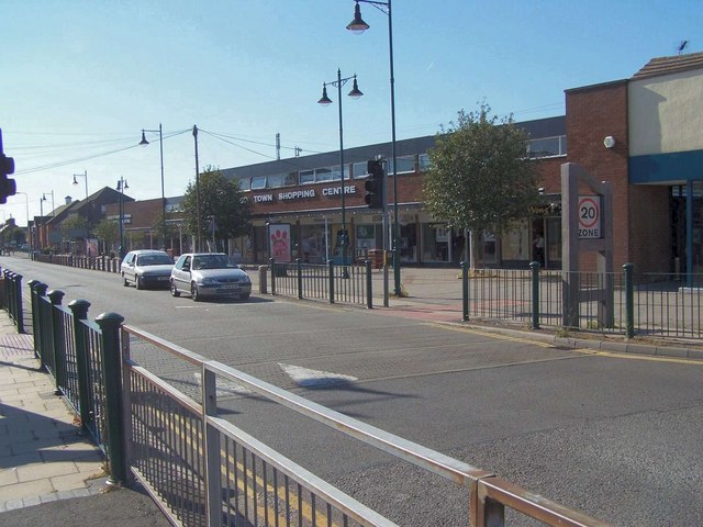
Norton Canes
Norton Canes is an industrial village, civil parish and ward of Cannock Chase District, in Staffordshire, England. It is situated 3 miles (4.8 km) out...

Norton Canes High School
Norton Canes High School is a coeducational secondary school and sixth form located in Norton Canes in the English county of Staffordshire.It is a community...
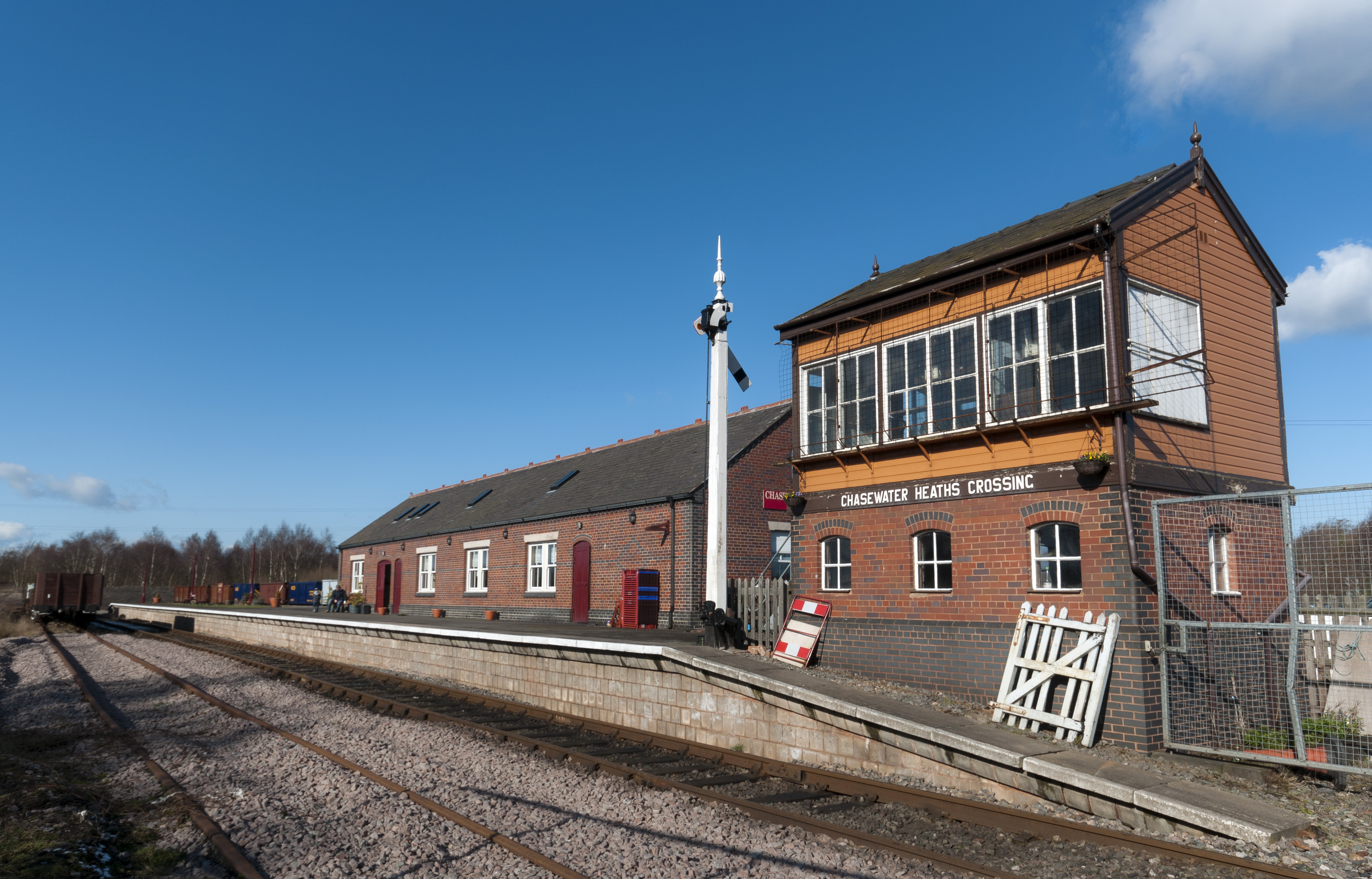
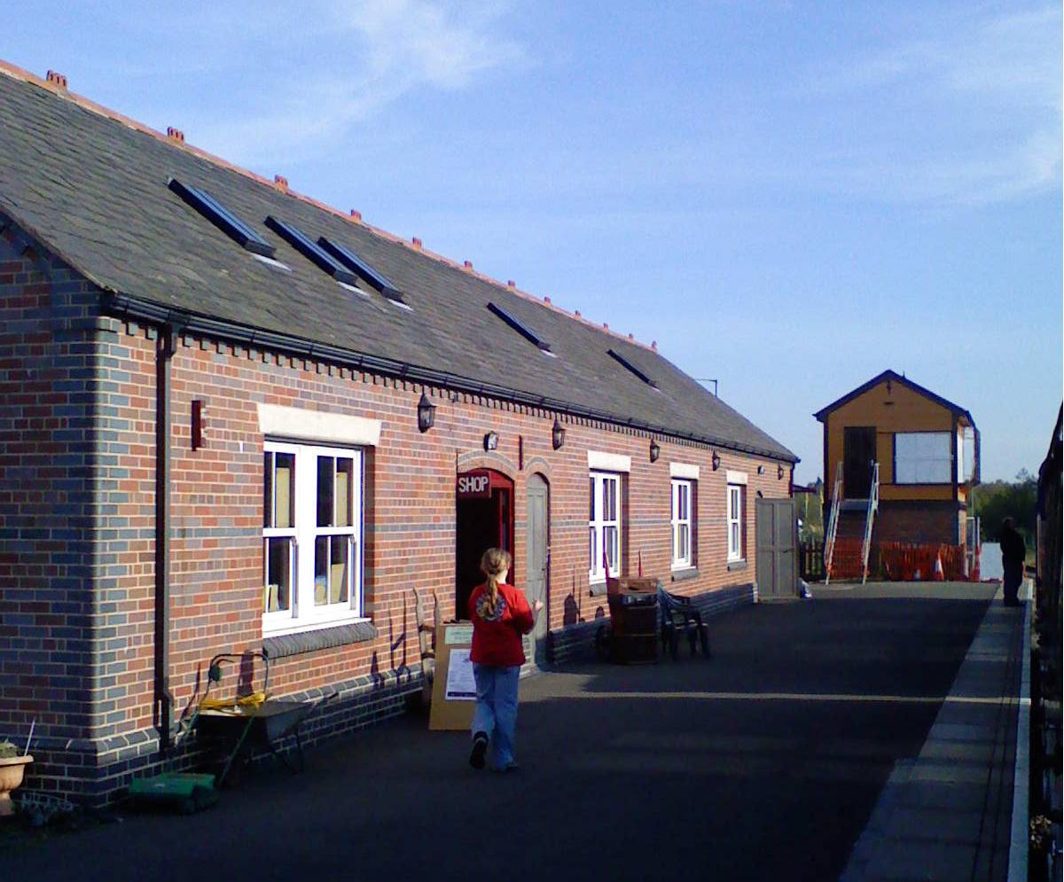
Chasewater Heaths railway station
Chasewater Heaths is a heritage railway station on the Chasewater Railway in Burntwood, Staffordshire. It has station building facilities, including a...
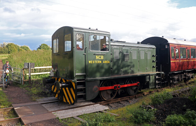
Chasewater Railway
The Chasewater Railway is a former colliery railway running round the shores of Chasewater in Staffordshire, England. It is now operated as a heritage...

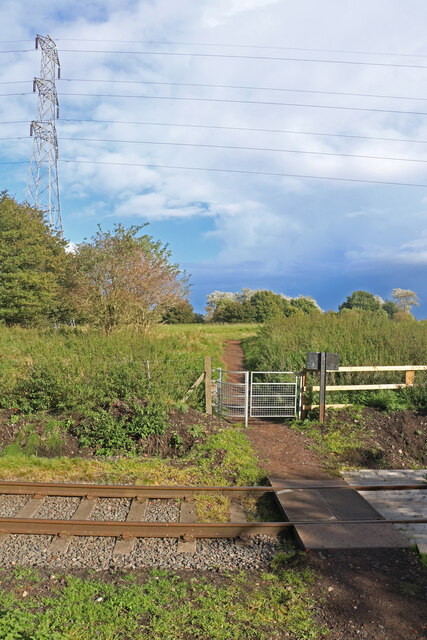
Norton Lakeside Halt railway station
Norton Lakeside Halt railway station is a heritage railway station on the Chasewater Railway in Staffordshire. It is a simple halt, consisting of a single...
Chasetown (Church Street) railway station
Chasetown (Church Street) is a heritage railway station on the Chasewater Railway. It is the north-eastern terminus of the line and consists of a single...
Chase Terrace
Chase Terrace is an area in the town of Burntwood in Staffordshire, England.Chase Terrace began as a mining village in the 1860s with mines at the south...

Heath Hayes F.C.
Heath Hayes Football Club was a football club based in Heath Hayes near Cannock, Staffordshire, England. They played at the Coppice Colliery Ground....
Nearby Amenities
Located within 500m of 52.684903,-1.9543655Have you been to Biddulph's Pool?
Leave your review of Biddulph's Pool below (or comments, questions and feedback).