Old Mill Pond

Lake, Pool, Pond, Freshwater Marsh in Dorset

England

Old Mill Pond

South West Coast Path near Swanage A bridge taking the South West Coast Path over a small ravine to the north of Swanage.
South West Coast Path near Swanage Credit: Malc McDonald

Old Mill Pond, located in Dorset, is a picturesque freshwater pond that holds the charm of a bygone era. Surrounded by lush greenery and nestled within a tranquil landscape, this idyllic water body is a popular attraction for both locals and visitors alike.

Spanning an area of approximately 10 acres, Old Mill Pond is encompassed by towering trees, creating a serene and secluded atmosphere. The pond's calm waters reflect the beauty of its surroundings, making it a haven for nature enthusiasts, photographers, and those seeking a peaceful retreat.

The pond derives its name from the historic old mill that once stood on its banks. This remnant of the region's industrial past adds a touch of nostalgia to the area, further enhancing its allure. The old mill's machinery can still be seen, providing a glimpse into the area's rich heritage.

Old Mill Pond is home to a diverse range of wildlife. The clear waters support various species of freshwater fish, such as trout and perch, attracting anglers eager to try their luck. The surrounding marshland provides a habitat for numerous bird species, including herons and ducks, creating an ideal spot for birdwatching.

Visitors can explore the pond's beauty by taking a leisurely stroll along its banks or renting a rowboat to venture out onto the water. The calm surface offers a peaceful environment for boating, making it a popular activity for families and couples.

Old Mill Pond is not only a scenic gem but also a testament to the region's natural beauty and historical significance. Its tranquil ambiance and abundant wildlife make it a must-visit destination for those seeking a peaceful escape in the heart of Dorset.

If you have any feedback on the listing, please let us know in the comments section below.

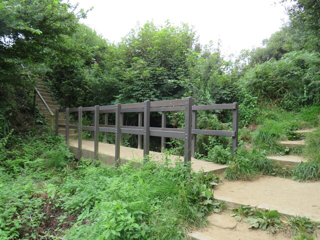
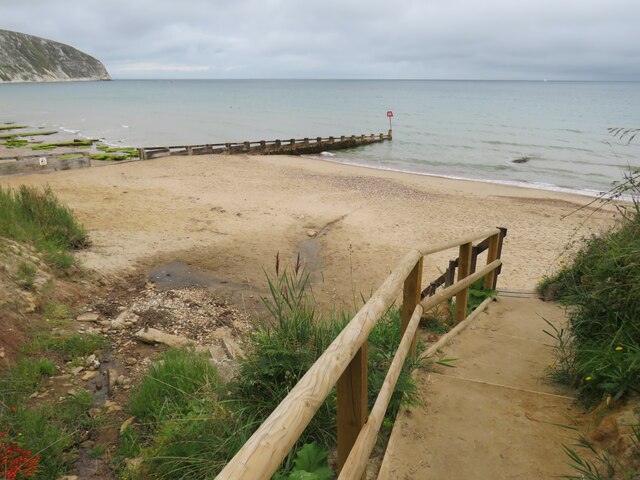
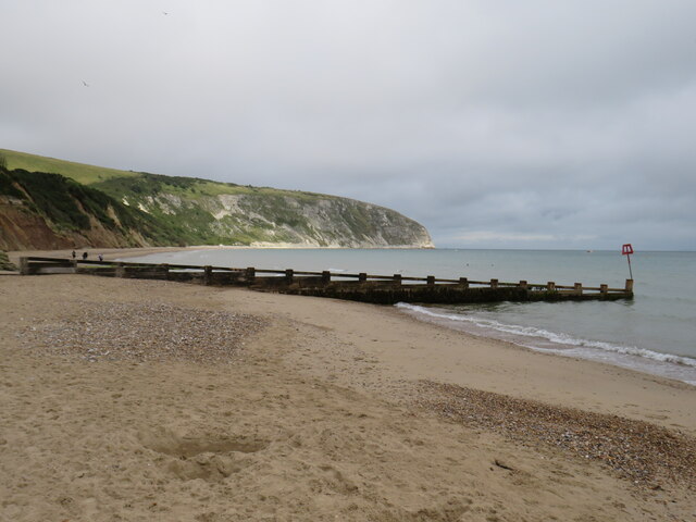
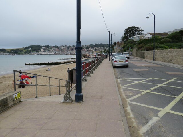
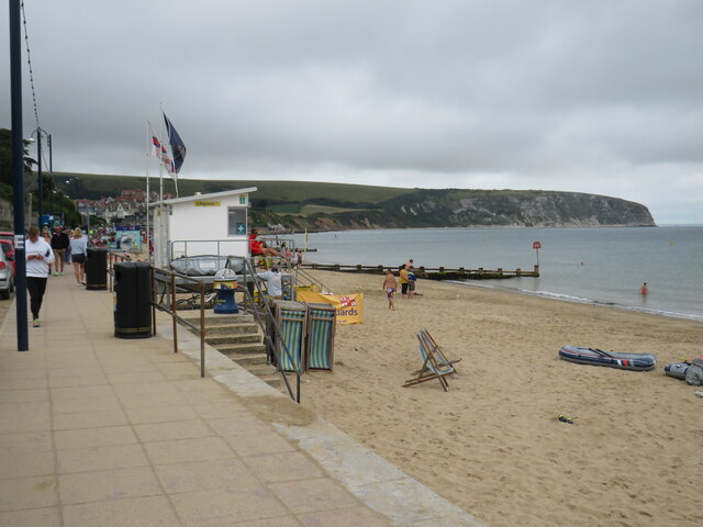
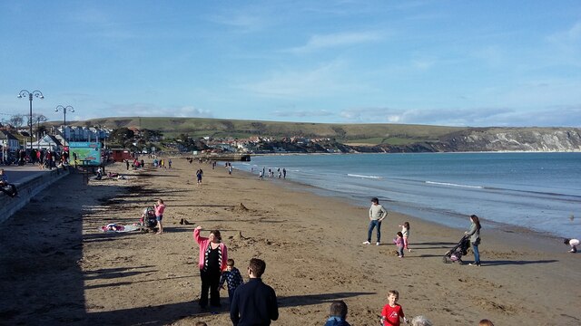
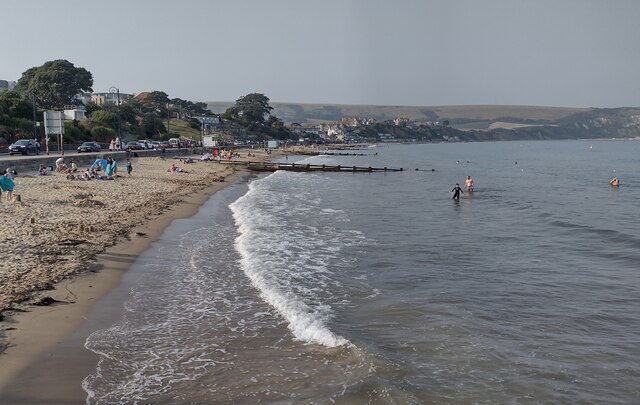
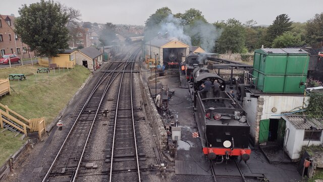
Old Mill Pond Images

Images are sourced within 2km of 50.60846/-1.9635994 or Grid Reference SZ0278. Thanks to Geograph Open Source API. All images are credited.

South West Coast Path near Swanage A bridge taking the South West Coast Path over a small ravine to the north of Swanage.
South West Coast Path near Swanage
A bridge taking the South West Coast Path over a small ravine to the north of Swanage.
Steps to the beach near Swanage Steps taking a path down to the beach north of Swanage.
Steps to the beach near Swanage
Steps taking a path down to the beach north of Swanage.
Groyne on the beach, Swanage A wooden groyne on the beach at Swanage.  Groynes form a defence against coastal erosion.  In the background is Ballard Cliff, with Ballard Point at the end of the cliff.
Groyne on the beach, Swanage
A wooden groyne on the beach at Swanage. Groynes form a defence against coastal erosion. In the background is Ballard Cliff, with Ballard Point at the end of the cliff.
Shore Road, Swanage Shore Road on the seafront at Swanage, photographed on a dull day in August 2021.  The pavement forms part of the route of the South West Coast Path.
Shore Road, Swanage
Shore Road on the seafront at Swanage, photographed on a dull day in August 2021. The pavement forms part of the route of the South West Coast Path.
Swanage beach The beach at Swanage, photographed on a dull and murky day in August 2021.  In the background is Ballard Cliff, leading to Ballard Point.  The pavement in the foreground is on the route of the South West Coast Path.
Swanage beach
The beach at Swanage, photographed on a dull and murky day in August 2021. In the background is Ballard Cliff, leading to Ballard Point. The pavement in the foreground is on the route of the South West Coast Path.
Swanage Swanage seafront
Swanage
Swanage seafront
Swanage Beach Swanage Beach looking North from Banjo Pier to Ballard Down in the distance
Swanage Beach
Swanage Beach looking North from Banjo Pier to Ballard Down in the distance
Swanage Depot From Northbrook Road Bridge looking down to the small Swanage depot where U Class 31806 is in early steam getting ready for service
Swanage Depot
From Northbrook Road Bridge looking down to the small Swanage depot where U Class 31806 is in early steam getting ready for service
High Street High Street A351 heading into Swanage
High Street
High Street A351 heading into Swanage
Path towards Victoria Avenue From Washpond Lane the path towards Victoria Avenue
Path towards Victoria Avenue
From Washpond Lane the path towards Victoria Avenue
Washpond Lane Washpond Lane passing Herston Yards Farm
Washpond Lane
Washpond Lane passing Herston Yards Farm
Old Swanage Grammar School The old Swanage Grammar School with the site now being redeveloped for housing
Old Swanage Grammar School
The old Swanage Grammar School with the site now being redeveloped for housing
Swanage Bowling Club Swanage Bowling Club in Beach Gardens
Swanage Bowling Club
Swanage Bowling Club in Beach Gardens
The White Swan, 31 The Square, High Street, Swanage Grade II Listed 18th century or earlier. The rear wing was probably originally cottages. Directories list the following previous landlords, 1842-1844 Eliza Vacher, 1852 George Hixson, 1855-1859 J Smith, 1875 Frederick Luker, 1889 Frank Bartley and 1895-1915 Ernest Alfred Penney.
The White Swan, 31 The Square, High Street, Swanage
Grade II Listed 18th century or earlier. The rear wing was probably originally cottages. Directories list the following previous landlords, 1842-1844 Eliza Vacher, 1852 George Hixson, 1855-1859 J Smith, 1875 Frederick Luker, 1889 Frank Bartley and 1895-1915 Ernest Alfred Penney.
The Ship Inn, 23A High Street, Swanage Grade II Listed hotel incorporating, either side of the 18th century centre section, previously separate early 19th century buildings to the east and west. Signage claims the inn to have been established in 1793. The following landlords are listed in directories, 1842-1844 William Trevers, 1851-1859 Joseph Biddlecombe, 1875 John King (hotel and posting house), 1889 William Cave, 1895 Richard Clark, 1911 Charles H Matthews, 1915 Charles H Matthews.
The Ship Inn, 23A High Street, Swanage
Grade II Listed hotel incorporating, either side of the 18th century centre section, previously separate early 19th century buildings to the east and west. Signage claims the inn to have been established in 1793. The following landlords are listed in directories, 1842-1844 William Trevers, 1851-1859 Joseph Biddlecombe, 1875 John King (hotel and posting house), 1889 William Cave, 1895 Richard Clark, 1911 Charles H Matthews, 1915 Charles H Matthews.
Remnants of old Swanage Pier Tramway Track Remnants of old Swanage Pier Tramway track heads alongside the sea front
Remnants of old Swanage Pier Tramway Track
Remnants of old Swanage Pier Tramway track heads alongside the sea front
National Coastwatch Swanage National Coastwatch Swanage at Peveril Point
National Coastwatch Swanage
National Coastwatch Swanage at Peveril Point
Great Globe Great Globe below Durlston Castle at Durlston Head
Great Globe
Great Globe below Durlston Castle at Durlston Head
Show me another place!

Old Mill Pond is located at Grid Ref: SZ0278 (Lat: 50.60846, Lng: -1.9635994)

Unitary Authority: Dorset

Police Authority: Dorset

What 3 Words

///alleyway.finds.conspired. Near Swanage, Dorset

Nearby Locations

Old Mill Pond

Related Wikis

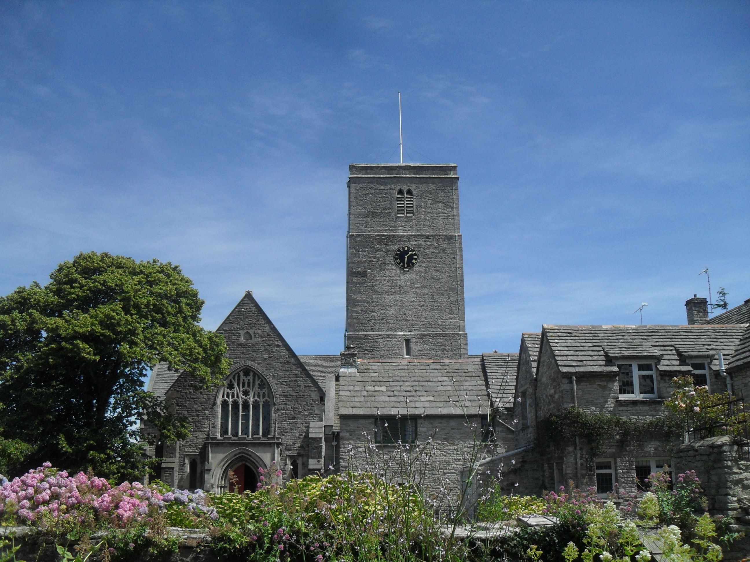
St Mary's Church, Swanage

St Mary's Church is a parish church in Swanage, Dorset. It is dedicated to the Virgin Mary. The church is in the Archdeaconry of Dorset, in the Diocese...

Swanage railway station

Swanage railway station is a railway station located in Swanage, on the Isle of Purbeck in the English county of Dorset. Originally the terminus of a London...

Swanage

Swanage () is a coastal town and civil parish in the south east of Dorset, England. It is at the eastern end of the Isle of Purbeck and one of its two...

Swanage Town Hall

Swanage Town Hall is a municipal building on Swanage High Street in Dorset. Constructed by the local building contractor George Burt in 1882–83, it reused...

Recreation Ground, Swanage

The Recreation Ground is a public park in Swanage, Dorset. It was acquired prior to WWI, but only properly established in the 1920s. == History == The...

Swanage Museum & Heritage Centre

Swanage Museum & Heritage Centre is a local history museum and family history centre in Swanage, Dorset. The museum was established in 1976; it merged...

Swanage Pier Tramway

The Swanage Pier Tramway was a narrow gauge tramway in the port town of Swanage, in the English county of Dorset. It opened about 1858 and closed in the...

Prince Albert Gardens

Prince Albert Gardens is a park in Swanage, Dorset, England. It was established in 1996. == Origins == The site was originally open grazing land. Prior...

Nearby Amenities

Located within 500m of 50.60846,-1.9635994
Swanage
Is In County: Dorset
Place: town
Wikidata: Q1009298
Wikipedia: en:Swanage
Lat/Long: 50.6086976/-1.9571971
Railway: switch
Lat/Long: 50.6100342/-1.962351
Swanage
Addr Postcode: BH19 1HB
Naptan AtcoCode: 940GZZSRSWN
Public Transport: station
Railway: station
Train: yes
Usage: tourism
Wheelchair: yes
Wikidata: Q7653554
Lat/Long: 50.6099662/-1.9602545
Turning Circle
Lat/Long: 50.6055577/-1.9670319
Turning Circle
Lat/Long: 50.606488/-1.9667911
Crossing
Crossing: unmarked
Crossing Markings: no
Kerb: lowered
Lat/Long: 50.6063299/-1.961121
Restaurant
Sea Salt
Description: Currently closed.
Lat/Long: 50.6093671/-1.9567407
Post Box
Operator: Royal Mail
Operator Wikidata: Q638098
Post Box Type: pillar
Ref: BH19 139D
Ref GB Uprn: 10015273000
Royal Cypher: GR
Royal Cypher Wikidata: Q33102273
Lat/Long: 50.6082795/-1.9592703
Taxi
Check Date: 2023-09-26
Lat/Long: 50.6097297/-1.9597817
Crossing
Crossing: traffic_signals
Crossing Ref: pelican
Kerb: lowered
Tactile Paving: yes
Lat/Long: 50.6097572/-1.959
Crossing
Crossing: pelican
Crossing Island: no
Crossing Ref: puffin
Tactile Paving: yes
Lat/Long: 50.6095948/-1.959631
Crossing
Button Operated: yes
Crossing: traffic_signals
Crossing Ref: pelican
Kerb: lowered
Tactile Paving: yes
Lat/Long: 50.6093477/-1.9575477
Railway: buffer_stop
Lat/Long: 50.6099731/-1.9596673
Railway: switch
Lat/Long: 50.6100151/-1.9626512
Railway: switch
Lat/Long: 50.6099901/-1.9632289
Addr Postcode: BH19 2PX
Lat/Long: 50.6051264/-1.9642326
Access: no
Barrier: swing_gate
Bicycle: dismount
Foot: yes
Locked: yes
Motor Vehicle: private
Note: Summer road closure has now been made permanent.
Source: bing
Swing Gate Type: double
Vehicle: private
Vehicle Conditional: yes @ (Oct-Apr)
Lat/Long: 50.6095102/-1.9571727
Bus Stop
Swanage Bus Station
Bench: yes
Bin: no
Bus: yes
Lit: no
Naptan AtcoCode: 1200POA10114
Naptan CommonName: Bus Station
Naptan Indicator: Stop 1
Naptan NaptanCode: dordgamt
Naptan Verified: no
Public Transport: platform
Route Ref: 50
Shelter: yes
Tactile Paving: no
Lat/Long: 50.6098455/-1.9600069
Bus Stop
Swanage Bus Station
Bench: yes
Bin: yes
Bus: yes
Lit: no
Naptan Verified: no
Public Transport: platform
Route Ref: 30;40
Shelter: yes
Tactile Paving: no
Lat/Long: 50.6098555/-1.9603864
Mini Roundabout
Direction: clockwise
Lat/Long: 50.6097979/-1.9594889
Cafe
Brook Tea Rooms
Addr City: Swanage
Addr Housenumber: 15
Addr Postcode: BH19 1DA
Addr Street: The Parade
Cuisine: tea_room
Fhrs Id: 1495054
Food: yes
Seating: yes
Source: local knowledge
Source Addr: FHRS Open Data
Lat/Long: 50.6091498/-1.9566267
Turning Circle
Lat/Long: 50.6092914/-1.9589597
Crossing
Crossing: unmarked
Crossing Markings: no
Kerb: lowered
Lat/Long: 50.6117344/-1.9636216
Crossing
Crossing: unmarked
Crossing Island: no
Crossing Markings: no
Kerb: lowered
Tactile Paving: no
Lat/Long: 50.6117505/-1.9624567
Barrier: kerb
Kerb: lowered
Tactile Paving: no
Lat/Long: 50.6117585/-1.9625659
Barrier: kerb
Kerb: raised
Tactile Paving: no
Lat/Long: 50.6117751/-1.9637692
Crossing
Crossing: unmarked
Crossing Markings: no
Kerb: lowered
Tactile Paving: no
Lat/Long: 50.6115977/-1.9625612
Cafe
Chococo
Addr City: Swanage
Addr Housenumber: 21C
Addr Postcode: BH19 1DF
Addr Street: Commercial Road
Diet Vegan: yes
Fhrs Id: 976559
Shop: confectionery
Source Addr: FHRS Open Data
Lat/Long: 50.6089277/-1.9581364
Post Box
Brand: Royal Mail
Brand Wikidata: Q638098
Collection Times: Mo-Fr 17:15; Sa 12:00
Operator: Royal Mail
Operator Wikidata: Q638098
Post Box Type: pillar
Ref: BH19 121
Ref GB Uprn: 10015284224
Royal Cypher: EVIIR
Royal Cypher Wikidata: Q33102324
Source: GPS+GLONASS
Lat/Long: 50.60934/-1.965414
Railway: switch
Lat/Long: 50.6099776/-1.9645417
Railway: buffer_stop
Lat/Long: 50.6101179/-1.9667306
Railway: buffer_stop
Lat/Long: 50.6099289/-1.9616424
Railway: switch
Lat/Long: 50.6099524/-1.9648534
Railway: switch
Lat/Long: 50.6099642/-1.963255
Railway: buffer_stop
Lat/Long: 50.6101519/-1.9667272
Railway: switch
Lat/Long: 50.6099455/-1.96374
Railway: buffer_stop
Lat/Long: 50.6099264/-1.9607526
Railway: buffer_stop
Lat/Long: 50.6100024/-1.9596707
Railway: switch
Lat/Long: 50.6100356/-1.9605302
Addr Housename: Brantwood
Addr Housenumber: 269
Addr Street: High Street
Lat/Long: 50.6090331/-1.9690083
Fire Hydrant
Emergency: fire_hydrant
Fire Hydrant Diameter: 4 inch
Fire Hydrant Type: underground
Ref: 11560
Source: GPS+GLONASS
Lat/Long: 50.607883/-1.970461
Fire Hydrant
Emergency: fire_hydrant
Fire Hydrant Diameter: 100
Fire Hydrant Type: underground
Source: GPS+GLONASS
Lat/Long: 50.608037/-1.968168
Man Made: surveillance
Surveillance: public
Surveillance Type: camera
Lat/Long: 50.6081557/-1.9566184
Post Box
Brand: Royal Mail
Brand Wikidata: Q638098
Collection Times: Mo-Fr 16:30; Sa 12:00
Operator: Royal Mail
Operator Wikidata: Q638098
Post Box Type: wall
Ref: BH19 115
Ref GB Uprn: 10015286831
Royal Cypher: EIIR
Royal Cypher Wikidata: Q33102113
Lat/Long: 50.6090441/-1.968851
Man Made: surveillance
Surveillance: public
Surveillance Type: camera
Lat/Long: 50.6092442/-1.9693602
Fire Hydrant
Emergency: fire_hydrant
Fire Hydrant Diameter: 3 inch
Fire Hydrant Type: underground
Fixme: Find correct location
Ref: 2613
Source: GPS+GLONASS
Lat/Long: 50.6094252/-1.968684
Fire Hydrant
Emergency: fire_hydrant
Fire Hydrant Diameter: 4 inch
Fire Hydrant Type: underground
Ref: 11191
Source: GPS+GLONASS
Lat/Long: 50.609434/-1.969627
Marker: post
Note: S B E high voltage joint
Lat/Long: 50.6094359/-1.9695545
Fire Hydrant
Emergency: fire_hydrant
Fire Hydrant Diameter: 3 inch
Fire Hydrant Type: underground
Ref: 1636
Source: GPS+GLONASS
Lat/Long: 50.610288/-1.9687679
Townsend Centre
Leisure: fitness_station
Operator: Widehorizons Outdoor Education Trust
Sport: fitness
Lat/Long: 50.6060911/-1.9644383
Man Made: surveillance
Surveillance: outdoor
Surveillance Type: camera
Lat/Long: 50.6063125/-1.962368
Post Box
Brand: Royal Mail
Brand Wikidata: Q638098
Collection Times: Mo-Fr 17:30; Sa 12:00
Operator: Royal Mail
Operator Wikidata: Q638098
Post Box Type: wall
Ref: BH19 226
Ref GB Uprn: 10015347174
Royal Cypher: GVIR
Royal Cypher Wikidata: Q33102169
Source: GPS+GLONASS
Lat/Long: 50.6066739/-1.961542
Fire Hydrant
Emergency: fire_hydrant
Fire Hydrant Diameter: 3 inch
Fire Hydrant Type: underground
Source: GPS+GLONASS
Lat/Long: 50.606762/-1.962612
Waste Basket
Source: survey
Lat/Long: 50.6068431/-1.9615378
Fire Hydrant
Emergency: fire_hydrant
Fire Hydrant Diameter: 4 inch
Fire Hydrant Type: underground
Ref: 12080
Source: GPS+GLONASS
Lat/Long: 50.60695/-1.967584
Fire Hydrant
Emergency: fire_hydrant
Fire Hydrant Diameter: 6 inch
Fire Hydrant Type: underground
Ref: 12412
Source: GPS+GLONASS
Lat/Long: 50.607182/-1.966457
Fire Hydrant
Emergency: fire_hydrant
Fire Hydrant Diameter: 4 inch
Fire Hydrant Type: underground
Ref: 2269
Source: GPS+GLONASS
Lat/Long: 50.607304/-1.96528
Man Made: surveillance
Surveillance: public
Surveillance Type: camera
Lat/Long: 50.6078404/-1.9629815
Fire Hydrant
Emergency: fire_hydrant
Fire Hydrant Diameter: 3 inch
Fire Hydrant Type: underground
Ref: 893
Source: GPS+GLONASS
Lat/Long: 50.607916/-1.962846
Grit Bin
Source: survey
Lat/Long: 50.6079577/-1.9628393
Man Made: cross
Lat/Long: 50.6079755/-1.9629871
Man Made: surveillance
Surveillance: public
Surveillance Type: camera
Lat/Long: 50.6083088/-1.9641663
Fire Hydrant
Emergency: fire_hydrant
Fire Hydrant Diameter: 80
Fire Hydrant Type: underground
Ref: 5169
Source: GPS+GLONASS
Lat/Long: 50.608397/-1.965533
Fire Hydrant
Emergency: fire_hydrant
Fire Hydrant Diameter: 100
Fire Hydrant Type: underground
Ref: 9271
Source: GPS+GLONASS
Lat/Long: 50.609016/-1.964173
Man Made: surveillance
Surveillance: public
Surveillance Type: camera
Lat/Long: 50.6092298/-1.9641283
Fire Hydrant
Emergency: fire_hydrant
Fire Hydrant Type: underground
Source: GPS+GLONASS
Lat/Long: 50.609489/-1.966283
Cabinet: fttc
Colour: green
Man Made: street_cabinet
Operator: Openreach
Operator Wikidata: Q7096543
Source: survey
Telephone Exchange: Swanage
Utility: telecom
Lat/Long: 50.6095158/-1.9703095
Man Made: surveillance
Surveillance: outdoor
Surveillance Type: camera
Lat/Long: 50.6076137/-1.9613731
Man Made: surveillance
Surveillance: public
Surveillance Type: camera
Lat/Long: 50.6076234/-1.9612594
School
Mount Scar Cygnets Playgroup
Lat/Long: 50.6064244/-1.9619897
School
Denomination: catholic
Religion: christian
Lat/Long: 50.6081117/-1.9601165
Man Made: surveillance
Surveillance: public
Surveillance Type: camera
Lat/Long: 50.6055511/-1.961076
Man Made: surveillance
Surveillance: public
Surveillance Type: camera
Lat/Long: 50.608017/-1.9655055
Man Made: surveillance
Surveillance: public
Surveillance Type: camera
Lat/Long: 50.6080326/-1.9678744
Man Made: surveillance
Surveillance: public
Surveillance Type: camera
Lat/Long: 50.6100582/-1.9596172
Toilets
Check Date: 2022-07-14
Fee: no
Lat/Long: 50.6099081/-1.9599464
Cafe
Birds Nest Buffet
Addr City: Swanage
Addr Housename: Station House
Addr Postcode: BH19 1HB
Addr Street: Railway Station Approach
Fhrs Authority: Purbeck
Fhrs Id: 976624
Not Brand Wikidata: Q63001935
Lat/Long: 50.6100681/-1.9598132
Station House
Addr City: Swanage
Addr Housename: Station House
Addr Postcode: BH19 1HB
Phone: +44 1929 425800
Website: https://www.swanagerailway.co.uk/
Lat/Long: 50.6098905/-1.9605555
Crossing
Crossing: unmarked
Crossing Island: yes
Crossing Markings: no
Kerb: lowered
Tactile Paving: no
Lat/Long: 50.6097636/-1.9606651
Crossing
Crossing: uncontrolled
Crossing Ref: zebra
Kerb: lowered
Tactile Paving: no
Lat/Long: 50.6094841/-1.9607508
Crossing
Crossing: unmarked
Crossing Markings: no
Kerb: lowered
Tactile Paving: no
Lat/Long: 50.6098592/-1.9596777
Traffic Signals
Traffic Signals Direction: forward
Lat/Long: 50.6100605/-1.9595419
Bus Stop
Gilbert Road
Bus: yes
Naptan AtcoCode: 1200DOA25629
Naptan Bearing: W
Naptan CommonName: Gilbert Road
Naptan Indicator: W-bound
Naptan NaptanCode: dordmtmg
Naptan Street: Gilbert Road
Naptan Verified: no
Public Transport: platform
Lat/Long: 50.6102057/-1.9601345
Post Box
Brand: Royal Mail
Brand Wikidata: Q638098
Collection Times: Mo-Fr 17:15; Sa 12:00
Operator: Royal Mail
Operator Wikidata: Q638098
Post Box Type: pillar
Ref: BH19 119
Ref GB Uprn: 10015665548
Royal Cypher: VR
Royal Cypher Wikidata: Q33102356
Source: survey
Lat/Long: 50.6118492/-1.959058
King Alfred Memorial
Historic: monument
Wikidata: Q26446048
Lat/Long: 50.6097276/-1.9570903
Crossing
Crossing: unmarked
Crossing Markings: no
Kerb: lowered
Tactile Paving: no
Lat/Long: 50.610272/-1.9596826
Barrier: kerb
Kerb: raised
Tactile Paving: no
Lat/Long: 50.6102768/-1.9595354
Barrier: kerb
Kerb: lowered
Tactile Paving: yes
Lat/Long: 50.6117291/-1.9596832
Crossing
Crossing: traffic_signals
Crossing Island: no
Crossing Ref: pelican
Kerb: lowered
Tactile Paving: yes
Lat/Long: 50.6117257/-1.9597566
Traffic Signals
Traffic Signals Direction: forward
Lat/Long: 50.6116917/-1.9597542
Crossing
Crossing: unmarked
Crossing Markings: no
Kerb: lowered
Tactile Paving: no
Lat/Long: 50.6103118/-1.9595399
Traffic Signals
Traffic Signals Direction: forward
Lat/Long: 50.6095468/-1.9596769
Barrier: kerb
Kerb: raised
Tactile Paving: no
Lat/Long: 50.6102211/-1.9596725
Crossing
Button Operated: yes
Crossing: traffic_signals
Crossing Island: no
Crossing Ref: pelican
Kerb: lowered
Tactile Paving: yes
Traffic Signals Sound: yes
Traffic Signals Vibration: yes
Lat/Long: 50.6101166/-1.9595687
Traffic Signals
Traffic Signals Direction: backward
Lat/Long: 50.6101321/-1.9595753
Crossing
Crossing: unmarked
Crossing Markings: no
Kerb: lowered
Tactile Paving: no
Lat/Long: 50.6118678/-1.9591016
Barrier: kerb
Kerb: lowered
Tactile Paving: no
Lat/Long: 50.6118608/-1.9591833
Traffic Signals
Traffic Signals Direction: backward
Lat/Long: 50.6096204/-1.9596124
Traffic Signals
Traffic Signals Direction: backward
Lat/Long: 50.6118648/-1.9595169
Crossing
Crossing: traffic_signals
Crossing Island: no
Crossing Ref: pelican
Kerb: lowered
Tactile Paving: yes
Lat/Long: 50.6118603/-1.9595723
Crossing
Crossing: unmarked
Crossing Island: yes
Crossing Markings: no
Kerb: lowered
Tactile Paving: no
Lat/Long: 50.6098043/-1.9606028
Traffic Signals
Traffic Signals Direction: forward
Lat/Long: 50.61183/-1.9599958
Barrier: kerb
Kerb: lowered
Tactile Paving: no
Lat/Long: 50.6094813/-1.960705
Traffic Signals
Traffic Signals Direction: forward
Lat/Long: 50.6097643/-1.9590295
Barrier: kerb
Kerb: lowered
Tactile Paving: no
Lat/Long: 50.6098265/-1.9596647
Barrier: kerb
Kerb: lowered
Tactile Paving: no
Lat/Long: 50.6094873/-1.960802
Barrier: kerb
Kerb: lowered
Tactile Paving: yes
Lat/Long: 50.6097239/-1.9590241
Crossing
Crossing: unmarked
Crossing Markings: no
Kerb: lowered
Lat/Long: 50.6093815/-1.9598275
Crossing
Crossing: unmarked
Crossing Markings: no
Kerb: lowered
Lat/Long: 50.6092522/-1.9608181
Barrier: kerb
Kerb: lowered
Tactile Paving: yes
Lat/Long: 50.6097809/-1.9589828
Bench
Lat/Long: 50.6067658/-1.9615156
Traffic Signals
Traffic Signals Direction: forward
Lat/Long: 50.6093642/-1.9576042
Town and Country Laundrette
Addr City: Swanage
Addr Housenumber: 59
Addr Street: Kings Road West
Check Date: 2024-03-29
Shop: laundry
Lat/Long: 50.6092049/-1.9641475
Bicycle Parking
Bicycle Parking: stands
Capacity: 8
Covered: no
Lat/Long: 50.6099211/-1.9597355
Bicycle Parking
Bicycle Parking: stands
Capacity: 8
Check Date Capacity: 2022-08-08
Covered: no
Lat/Long: 50.6096747/-1.9571469
Crossing
Crossing: unmarked
Crossing Markings: no
Kerb: lowered
Tactile Paving: no
Lat/Long: 50.6117677/-1.9637425
Traffic Calming: island
Lat/Long: 50.6097528/-1.9595163
Give Way
Source: Mapbox
Lat/Long: 50.6079592/-1.9682111
Post Box
Post Box Type: wall
Ref: BH19 35
Ref GB Uprn: 10015339375
Royal Cypher: VR
Royal Cypher Wikidata: Q33102356
Lat/Long: 50.6070244/-1.9575114
Bench
Lat/Long: 50.6104501/-1.9576618
Barrier: kissing_gate
Lat/Long: 50.6041034/-1.964218
Fast Food
Nihal Spice
Addr City: Swanage
Addr County: Dorset
Addr Housenumber: 69
Addr Postcode: BH19 2LY
Addr Street: High Street
Cuisine: indian
Fhrs Id: 1671003
Takeaway: yes
Lat/Long: 50.6081956/-1.9587771
Defibrillator
Access: yes
Check Date: 2023-03-10
Defibrillator Location: On outside wall of Swanage Railway Station
Emergency: defibrillator
Indoor: no
Opening Hours: 24/7
Ref GB The Circuit: 822F3937-6CE3-47D7-B1CC-AEB4006C27DB
Lat/Long: 50.6098827/-1.9598689
Addr Housenumber: 150
Addr Street: High Street
Description: Swanage Royal British Legion Club
Phone: +44 1929 422722
Website: https://www.therblswanage.co.uk/
Lat/Long: 50.6081499/-1.9657136
Post Box
Collection Times: Mo-Fr 09:00; Sa 07:00
Operator: Royal Mail
Operator Wikidata: Q638098
Post Box Type: pillar
Ref: BH19 229
Ref GB Uprn: 10015306278
Royal Cypher: EIIR
Royal Cypher Wikidata: Q33102113
Lat/Long: 50.6092053/-1.9570758
Post Box
Post Box Type: wall
Ref: BH19 216
Ref GB Uprn: 10015392561
Royal Cypher: GVIR
Royal Cypher Wikidata: Q33102169
Lat/Long: 50.6077385/-1.9704728
Defibrillator
Access: yes
Check Date: 2023-03-10
Defibrillator Location: On outside wall.
Emergency: defibrillator
Indoor: no
Opening Hours: 24/7
Ref: AO99
Lat/Long: 50.6083022/-1.9593195
Post Box
Post Box Type: pillar
Ref: BH19 117D
Ref GB Uprn: 10015333967
Royal Cypher: EIIR
Royal Cypher Wikidata: Q33102113
Lat/Long: 50.6078568/-1.9630303
Bicycle Parking
Bicycle Parking: stands
Capacity: 2
Covered: no
Lat/Long: 50.6061889/-1.9580802
Bicycle Parking
Access: permissive
Bicycle Parking: stands
Capacity: 4
Covered: yes
Secure: yes
Lat/Long: 50.6060972/-1.9583544
Entrance: main
Lat/Long: 50.6061723/-1.9578276
Bicycle Parking
Bicycle Parking: wall_hoops
Capacity: 3
Covered: no
Lat/Long: 50.6096425/-1.9609514
Addr City: Swanage
Addr Housename: Avalon Court
Addr Street: Rempstone Road
Source: survey
Lat/Long: 50.6113682/-1.9599327
Addr City: Swanage
Addr Housename: Avalon 5
Addr Street: Rempstone Road
Source: survey
Lat/Long: 50.6113079/-1.959872
Post Box
Brand: Royal Mail
Brand Wikidata: Q638098
Collection Times: Mo-Fr 17:45; Sa 13:00
Operator: Royal Mail
Operator Wikidata: Q638098
Post Box Type: pillar
Ref: BH19 78
Royal Cypher: EIIR
Royal Cypher Wikidata: Q33102113
Lat/Long: 50.6095229/-1.9595308
Post Box
Brand: Royal Mail
Brand Wikidata: Q638098
Collection Times: Mo-Fr 17:45; Sa 13:00
Operator: Royal Mail
Operator Wikidata: Q638098
Post Box Type: meter
Ref: BH19 578P
Royal Cypher: no
Lat/Long: 50.6095179/-1.9595167
Generator Output Electricity: yes
Generator Source: solar
Generator Type: solar_photovoltaic_panel
Location: roof
Power: generator
Lat/Long: 50.6070959/-1.9585906
Generator Output Electricity: yes
Generator Source: solar
Generator Type: solar_photovoltaic_panel
Location: roof
Power: generator
Lat/Long: 50.6067248/-1.95757
Generator Output Electricity: yes
Generator Source: solar
Generator Type: solar_photovoltaic_panel
Location: roof
Power: generator
Lat/Long: 50.6049886/-1.9593705
Generator Output Electricity: yes
Generator Source: solar
Generator Type: solar_photovoltaic_panel
Location: roof
Power: generator
Lat/Long: 50.6072951/-1.963082
Generator Output Electricity: yes
Generator Source: solar
Generator Type: solar_photovoltaic_panel
Location: roof
Power: generator
Lat/Long: 50.6077415/-1.9631182
Generator Output Electricity: yes
Generator Source: solar
Generator Type: solar_photovoltaic_panel
Location: roof
Power: generator
Lat/Long: 50.6064269/-1.9651902
Generator Output Electricity: yes
Generator Source: solar
Generator Type: solar_photovoltaic_panel
Location: roof
Power: generator
Lat/Long: 50.6067572/-1.9656596
Generator Output Electricity: yes
Generator Source: solar
Generator Type: solar_photovoltaic_panel
Location: roof
Power: generator
Lat/Long: 50.606461/-1.9657186
Generator Output Electricity: yes
Generator Source: solar
Generator Type: solar_photovoltaic_panel
Location: roof
Power: generator
Lat/Long: 50.6053732/-1.9680011
Generator Output Electricity: yes
Generator Source: solar
Generator Type: solar_photovoltaic_panel
Location: roof
Power: generator
Lat/Long: 50.6058414/-1.9662094
Generator Output Electricity: yes
Generator Source: solar
Generator Type: solar_photovoltaic_panel
Location: roof
Power: generator
Lat/Long: 50.6069087/-1.9696936
Generator Output Electricity: yes
Generator Source: solar
Generator Type: solar_photovoltaic_panel
Location: roof
Power: generator
Lat/Long: 50.6067248/-1.9680789
Generator Output Electricity: yes
Generator Source: solar
Generator Type: solar_photovoltaic_panel
Location: roof
Power: generator
Lat/Long: 50.6074806/-1.9690928
Generator Output Electricity: yes
Generator Source: solar
Generator Type: solar_photovoltaic_panel
Location: roof
Power: generator
Lat/Long: 50.608553/-1.9706458
Generator Output Electricity: yes
Generator Source: solar
Generator Type: solar_photovoltaic_panel
Location: roof
Power: generator
Lat/Long: 50.6101037/-1.9687186
Generator Output Electricity: yes
Generator Source: solar
Generator Type: solar_photovoltaic_panel
Location: roof
Power: generator
Lat/Long: 50.6083607/-1.9665903
Generator Output Electricity: yes
Generator Source: solar
Generator Type: solar_photovoltaic_panel
Location: roof
Power: generator
Lat/Long: 50.6124355/-1.962913
Toilets
Check Date: 2022-08-03
Fee: no
Wheelchair: yes
Lat/Long: 50.6110153/-1.9578017
Drinking Water
Bottle: yes
Fountain: bottle_refill
Lat/Long: 50.610147/-1.9574508
Defibrillator
Access: yes
Check Date: 2023-03-10
Defibrillator Location: On outside wall of toilet block at King George's Field Car Park.
Emergency: defibrillator
Indoor: no
Opening Hours: 24/7
Ref GB The Circuit: 4C3F4F4F-BDDA-4998-B8BB-ADF4012F8E91
Lat/Long: 50.6108765/-1.9644
Defibrillator
Access: yes
Check Date: 2023-03-10
Defibrillator Location: On outside wall.
Emergency: defibrillator
Indoor: no
Opening Hours: 24/7
Ref GB The Circuit: 56378B27-616E-4E2E-813A-ADF4012F72CC
Lat/Long: 50.6080318/-1.9625638
Defibrillator
Access: yes
Check Date: 2023-03-10
Defibrillator Location: On outside wall.
Emergency: defibrillator
Indoor: no
Opening Hours: 24/7
Lat/Long: 50.6055307/-1.9610666
Entrance: yes
Lat/Long: 50.6055564/-1.961084
Defibrillator
Access: yes
Check Date: 2023-03-10
Defibrillator Location: On outside wall.
Emergency: defibrillator
Indoor: no
Opening Hours: 24/7
Lat/Long: 50.6082206/-1.9656971
Telephone
Booth: K6
Covered: booth
Wikidata: Q26670249
Lat/Long: 50.6083632/-1.957285
Telephone
Booth: K6
Covered: booth
Wikidata: Q26670249
Lat/Long: 50.6083455/-1.9572909
Give Way
Lat/Long: 50.6082422/-1.9567204
Crossing
Crossing: uncontrolled
Crossing Ref: zebra
Kerb: lowered
Lat/Long: 50.6083918/-1.957589
Give Way
Lat/Long: 50.609197/-1.9571629
Direction: 190
Generator Method: photovoltaic
Generator Output Electricity: yes
Generator Solar Modules: 12
Generator Source: solar
Generator Type: solar_photovoltaic_panel
Location: roof
Power: generator
Lat/Long: 50.6087303/-1.9701377
Direction: S
Generator Method: photovoltaic
Generator Output Electricity: yes
Generator Solar Modules: 18
Generator Source: solar
Generator Type: solar_photovoltaic_panel
Location: roof
Power: generator
Lat/Long: 50.6068899/-1.9635973
Direction: N
Generator Method: photovoltaic
Generator Output Electricity: yes
Generator Solar Modules: 8
Generator Source: solar
Generator Type: solar_photovoltaic_panel
Location: roof
Power: generator
Lat/Long: 50.6071394/-1.9586003
Direction: 175
Generator Method: photovoltaic
Generator Output Electricity: yes
Generator Source: solar
Generator Type: solar_photovoltaic_panel
Location: roof
Power: generator
Lat/Long: 50.6057664/-1.959455
Bench
Lat/Long: 50.6083833/-1.9572775
Railway: switch
Lat/Long: 50.6099387/-1.9638533
Railway: switch
Lat/Long: 50.6099956/-1.9601287
Traffic Calming: island
Lat/Long: 50.6099389/-1.9594578
Barrier: kerb
Kerb: lowered
Tactile Paving: no
Lat/Long: 50.6097419/-1.9606923
Camera Mount: pole
Camera Type: dome
Height: 20
Man Made: surveillance
Surveillance: public
Surveillance Type: camera
Lat/Long: 50.6101505/-1.9574171
Bus Stop
Mowlem Court
Bench: no
Bin: yes
Bus: yes
Lit: no
Naptan AtcoCode: 1200POA10128
Naptan Bearing: S
Naptan CommonName: Mowlem Court
Naptan Indicator: S-bound
Naptan NaptanCode: dordgapd
Naptan Street: Rempstone Road
Naptan Verified: no
Public Transport: platform
Shelter: no
Tactile Paving: no
Lat/Long: 50.6107597/-1.9595641
Bus Stop
Swanage Bus Station
Bench: yes
Bin: yes
Bus: yes
Covered: no
Lit: no
Naptan AtcoCode: 1200POA10113
Naptan CommonName: Bus Station
Naptan Indicator: Stop 2
Naptan NaptanCode: dordgamj
Naptan Verified: no
Public Transport: platform
Route Ref: 5
Tactile Paving: no
Lat/Long: 50.6098472/-1.9601134
Bus Stop
St Mary's Church
Bus: yes
Naptan AtcoCode: 1200POA10112
Naptan Bearing: W
Naptan CommonName: St Mary's Church
Naptan Indicator: W-bound
Naptan NaptanCode: dordgagp
Naptan Street: Kings Road West
Naptan Verified: no
Public Transport: platform
Lat/Long: 50.6092373/-1.963149
Bus Stop
Argyle Road
Bench: no
Bin: no
Bus: yes
Lit: no
Naptan AtcoCode: 1200POA10110
Naptan Bearing: E
Naptan CommonName: Argyle Road
Naptan Indicator: opp
Naptan NaptanCode: dordgada
Naptan Street: Kings Road West
Naptan Verified: no
Public Transport: platform
Shelter: no
Tactile Paving: no
Lat/Long: 50.6094176/-1.9648963
Bus Stop
Argyle Road
Bench: no
Bin: no
Bus: yes
Lit: no
Naptan AtcoCode: 1200POA10111
Naptan Bearing: W
Naptan CommonName: Argyle Road
Naptan Indicator: W-bound
Naptan NaptanCode: dordawtm
Naptan Street: Kings Road West
Naptan Verified: no
Public Transport: platform
Shelter: no
Tactile Paving: no
Lat/Long: 50.6093871/-1.9654852
Bus Stop
Howard Road
Bench: no
Bin: no
Bus: yes
Lit: no
Naptan AtcoCode: 1200POA10162
Naptan Bearing: NW
Naptan CommonName: Howard Road
Naptan Indicator: NW-bound
Naptan NaptanCode: dordawmw
Naptan Street: High Street
Naptan Verified: no
Public Transport: platform
Shelter: no
Tactile Paving: no
Lat/Long: 50.6090117/-1.9687401
Bus Stop
Cecil Road
Bench: no
Bin: no
Bus: yes
Lit: no
Naptan AtcoCode: 1200POA10109
Naptan Bearing: E
Naptan CommonName: Cecil Road
Naptan Indicator: E-bound
Naptan NaptanCode: dordawmg
Naptan Street: High Street
Naptan Verified: no
Public Transport: platform
Shelter: no
Tactile Paving: no
Lat/Long: 50.6094875/-1.9699109
The Beach Shop
Check Date: 2022-08-03
Description: Sells beach stuff and ice cream
Shop: variety_store
Lat/Long: 50.6107856/-1.9577594
Ice Cream
Tilly's Ice Cream
Check Date: 2022-08-03
Lat/Long: 50.6099928/-1.957433
Shoreside
Check Date: 2022-08-03
Description: Sells beach stuff
Shop: variety_store
Lat/Long: 50.609402/-1.9570563
Ice Cream
Fortes Gelateria
Addr City: Swanage
Addr Housename: The Mowlem
Addr Housenumber: 2
Addr Postcode: BH19 1DD
Addr Street: Shore Road
Check Date: 2022-08-03
Fhrs Id: 976606
Lat/Long: 50.6093579/-1.9570307
Maritime Curios
Shop: antiques
Lat/Long: 50.6085711/-1.9576772
Parcel Locker
Amazon Hub Locker
Brand: Amazon Hub
Brand Wikidata: Q100274430
Operator: Amazon
Lat/Long: 50.6096492/-1.9608714
Entrance: main
Lat/Long: 50.6084261/-1.958046
Crossing
Lat/Long: 50.6096059/-1.9582849
Crossing
Lat/Long: 50.6094971/-1.958277
Vending Machine
Vending: parking_tickets
Lat/Long: 50.611327/-1.9629586
Vending Machine
Vending: parking_tickets
Lat/Long: 50.6116567/-1.9635734
Vending Machine
Vending: parking_tickets
Lat/Long: 50.6112101/-1.9641288
Vending Machine
Vending: parking_tickets
Lat/Long: 50.610857/-1.964725
Barrier: height_restrictor
Maxheight: 7'6"
Lat/Long: 50.6109066/-1.9645075
Bicycle Parking
Bicycle Parking: stands
Capacity: 8
Covered: no
Lat/Long: 50.6110188/-1.9649741
Communication Mobile Phone: yes
Man Made: mast
Tower Construction: freestanding
Tower Type: communication
Lat/Long: 50.6107787/-1.9644828
Forever Summer
Shop: variety_store
Lat/Long: 50.6082169/-1.9574503
The Salon at 53
Shop: hairdresser
Lat/Long: 50.6082403/-1.9575495
Ellis Jones
Office: lawyer
Lat/Long: 50.6082494/-1.9576448
Cafe
Fortes Coffee Shop
Addr City: Swanage
Addr Housename: The Mowlem
Addr Housenumber: 3-4
Addr Postcode: BH19 1DD
Addr Street: Shore Road
Cuisine: coffee_shop
Fhrs Id: 976608
Lat/Long: 50.6092735/-1.9569621
Crossing
Lat/Long: 50.6116529/-1.9619345
Crossing
Lat/Long: 50.6106634/-1.9597173
Crossing
Lat/Long: 50.6114458/-1.9598016
Crossing
Lat/Long: 50.6110549/-1.9597631
Barrier: kerb
Kerb: raised
Lat/Long: 50.6114206/-1.9597989
Barrier: kerb
Kerb: raised
Tactile Paving: no
Lat/Long: 50.6103123/-1.9596906
Barrier: kerb
Kerb: raised
Tactile Paving: no
Lat/Long: 50.6103386/-1.9595426
Give Way
Lat/Long: 50.6116922/-1.9624651
Barrier: bollard
Bollard: foldable
Lat/Long: 50.6095165/-1.95685
Camera Direction: 180
Camera Mount: wall
Camera Type: fixed
Height: 3
Man Made: surveillance
Surveillance: public
Surveillance Type: camera
Lat/Long: 50.6096602/-1.9690745
Place Of Worship
The Salvation Army - Swanage
Addr City: Swanage
Addr Housenumber: 54
Addr Postcode: BH19 2NX
Addr Street: High Street
Denomination: salvation_army
Email: swanage@salvationarmy.org.uk
Phone: 01929 424578
Religion: christian
Website: https://www.salvationarmy.org.uk/swanage
Lat/Long: 50.6084543/-1.9586764
Entrance: yes
Lat/Long: 50.6087029/-1.9631752
Entrance: yes
Lat/Long: 50.6085884/-1.9629609
Drinking Water
Bottle: no
Drinking Water: yes
Lat/Long: 50.6108885/-1.9645098
The data included in this document is from www.openstreetmap.org. The data is made available under ODbL.

Have you been to Old Mill Pond?

Leave your review of Old Mill Pond below (or comments, questions and feedback).