Sabre Lake

Lake, Pool, Pond, Freshwater Marsh in Wiltshire

England

Sabre Lake

A4 in Cherhill, looking east
A4 in Cherhill, looking east Credit: Rob Purvis

Sabre Lake is a serene freshwater body located in Wiltshire, England. Nestled amidst picturesque surroundings, the lake measures about 2 acres in size and is known for its tranquil ambiance. It is classified as a lake but could also be referred to as a pool, pond, or even a freshwater marsh due to its unique characteristics.

The lake boasts crystal-clear waters that reflect the lush greenery surrounding it, creating a captivating sight for visitors. It is fed by natural springs, ensuring a constant supply of freshwater. The lake's depth varies across its expanse, ranging from shallow areas that are perfect for wading and exploring, to deeper sections that allow for swimming and other water activities.

Sabre Lake is home to a diverse ecosystem, teeming with various species of aquatic plants and animals. Its marshy edges are adorned with vibrant water lilies, reeds, and other aquatic vegetation, providing a habitat for frogs, dragonflies, and numerous bird species. Birdwatchers often frequent the area to catch glimpses of kingfishers, herons, and ducks, among others.

The lake acts as a peaceful retreat for locals and tourists alike, offering opportunities for relaxation and recreation. Fishing enthusiasts are drawn to Sabre Lake, as it is known to be populated with a healthy stock of freshwater fish, including carp, perch, and roach. Anglers can be seen casting their lines from the lakeshore or from small boats that are available for hire.

Overall, Sabre Lake in Wiltshire is a natural gem that showcases the beauty of the English countryside. Its tranquil waters, diverse ecosystem, and recreational opportunities make it a popular destination for nature lovers and those seeking a peaceful escape from the bustle of everyday life.

If you have any feedback on the listing, please let us know in the comments section below.

Sabre Lake Images

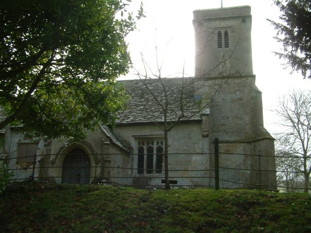
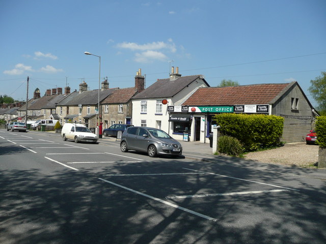
Images are sourced within 2km of 51.428515/-1.9667392 or Grid Reference SU0269. Thanks to Geograph Open Source API. All images are credited.

A4 in Cherhill, looking east
The Leaning Tower of Cherhill The 15th century tower has developed a lean over the years. Check it against the main roof line which is more or less horizontal.
The Leaning Tower of Cherhill
The 15th century tower has developed a lean over the years. Check it against the main roof line which is more or less horizontal.
South porch, Church of St James, Cherhill The origins of the church are 12th or 13th century. The porch is 15th century.
South porch, Church of St James, Cherhill
The origins of the church are 12th or 13th century. The porch is 15th century.
East inside the Church of St James, Cherhill The interior of the church is quite restrained and parts are relatively modern. The stained glass and the reredos behind the altar date to the early 1930s.
East inside the Church of St James, Cherhill
The interior of the church is quite restrained and parts are relatively modern. The stained glass and the reredos behind the altar date to the early 1930s.
Further east inside the Church of St James, Cherhill Although the church has its origins in the 12th or 13th century much of what can be seen here is 20th century. The stained glass and reredos are from 1931. The brass chandelier is circa 1700 and came from Calne Church in 1853.
Further east inside the Church of St James, Cherhill
Although the church has its origins in the 12th or 13th century much of what can be seen here is 20th century. The stained glass and reredos are from 1931. The brass chandelier is circa 1700 and came from Calne Church in 1853.
Banner, Church of St James, Cherhill The banner appears to be of fairly recent origin. It illustrates local landmarks and land uses.
Banner, Church of St James, Cherhill
The banner appears to be of fairly recent origin. It illustrates local landmarks and land uses.
Reredos, Church of St James, Cherhill The finely-carved oak reredos dates from 1931. It was given to the church by Maud Starky in memory of her late husband and two sons who all predeceased her. There is an inscription carved into the edge of the shelf which reads in part "In Memory of George Bayntun Starky, 1858-1926, Walter Bayntun Starky, 1886-1930, James Bayntun Starky, 1889-1916 ". Thanks to Gerry Cullen for this information <span class="nowrap"><a title="https://bayntunfamilyhistory.com/Home" rel="nofollow ugc noopener" href="https://bayntunfamilyhistory.com/Home">Link</a><img style="margin-left:2px;" alt="External link" title="External link - shift click to open in new window" src="https://s1.geograph.org.uk/img/external.png" width="10" height="10"/></span> More about the church below.
Reredos, Church of St James, Cherhill
The finely-carved oak reredos dates from 1931. It was given to the church by Maud Starky in memory of her late husband and two sons who all predeceased her. There is an inscription carved into the edge of the shelf which reads in part "In Memory of George Bayntun Starky, 1858-1926, Walter Bayntun Starky, 1886-1930, James Bayntun Starky, 1889-1916 ". Thanks to Gerry Cullen for this information LinkExternal link More about the church below.
West inside the Church of St James, Cherhill The pews are from 1853 when the church was substantially restored. The west gallery is from 1840 and is supported on iron columns. The Gothic panelled front is said to be recycled 15th century bench ends.
West inside the Church of St James, Cherhill
The pews are from 1853 when the church was substantially restored. The west gallery is from 1840 and is supported on iron columns. The Gothic panelled front is said to be recycled 15th century bench ends.
Font, Church of St James, Cherhill The font may be from the 15th century but re-worked since then.
Font, Church of St James, Cherhill
The font may be from the 15th century but re-worked since then.
South porch and tomb, Church of St James, Cherhill This is another view of the south porch which dates to the 15th century. The table tomb in front of it is one of four listed Grade II <span class="nowrap"><a title="http://www.imagesofengland.org.uk/details/default.aspx?id=316232" rel="nofollow ugc noopener" href="http://www.imagesofengland.org.uk/details/default.aspx?id=316232">Link</a><img style="margin-left:2px;" alt="External link" title="External link - shift click to open in new window" src="https://s1.geograph.org.uk/img/external.png" width="10" height="10"/></span> This appears to be the Pottow monument described as follows: 'Pottow monument, later C18 with raised fielded centre plaque each side flanked by fielded strips. Baluster angles, moulded base and cornice with pulvinated frieze. South inscription to H. Pottow, died 1788'
South porch and tomb, Church of St James, Cherhill
This is another view of the south porch which dates to the 15th century. The table tomb in front of it is one of four listed Grade II LinkExternal link This appears to be the Pottow monument described as follows: 'Pottow monument, later C18 with raised fielded centre plaque each side flanked by fielded strips. Baluster angles, moulded base and cornice with pulvinated frieze. South inscription to H. Pottow, died 1788'
Church of St James, Cherhill The church's origins lie as far back as the 1300s but over the years it has been extended and restored. The south porch and aisle were added in the 15th century as was the tower. The subtle differences in roofing materials and roof line on the main roof indicate where the nave joins the chancel.
Church of St James, Cherhill
The church's origins lie as far back as the 1300s but over the years it has been extended and restored. The south porch and aisle were added in the 15th century as was the tower. The subtle differences in roofing materials and roof line on the main roof indicate where the nave joins the chancel.
Tombs and gravestones, Church of St James, Cherhill The three table tombs are listed Grade II <span class="nowrap"><a title="http://www.imagesofengland.org.uk/details/default.aspx?id=316232" rel="nofollow ugc noopener" href="http://www.imagesofengland.org.uk/details/default.aspx?id=316232">Link</a><img style="margin-left:2px;" alt="External link" title="External link - shift click to open in new window" src="https://s1.geograph.org.uk/img/external.png" width="10" height="10"/></span> has the details.
Tombs and gravestones, Church of St James, Cherhill
The three table tombs are listed Grade II LinkExternal link has the details.
View south from the Church of St James, Cherhill Cherhill is a compact but elongated village just north of the A4 between Calne and Beckhampton. It has a recorded history as far back as 1377. In more recent years its population has risen and fallen in line with the histories of the now-extinct RAF bases at Compton Bassett and Yatesbury. In 1918 the Co-operative Wholesale Society purchased the estate that included Cherhill. Anecdotal evidence is that the CWS couldn't make their holdings of around 4600 acres pay and sold the lot in 1929-1930. Tenants of the various cottages were able to purchase the freeholds at a discount and many of them did it seems. Much more here <span class="nowrap"><a title="http://history.wiltshire.gov.uk/community/getcom.php?id=50" rel="nofollow ugc noopener" href="http://history.wiltshire.gov.uk/community/getcom.php?id=50">Link</a><img style="margin-left:2px;" alt="External link" title="External link - shift click to open in new window" src="https://s1.geograph.org.uk/img/external.png" width="10" height="10"/></span>
View south from the Church of St James, Cherhill
Cherhill is a compact but elongated village just north of the A4 between Calne and Beckhampton. It has a recorded history as far back as 1377. In more recent years its population has risen and fallen in line with the histories of the now-extinct RAF bases at Compton Bassett and Yatesbury. In 1918 the Co-operative Wholesale Society purchased the estate that included Cherhill. Anecdotal evidence is that the CWS couldn't make their holdings of around 4600 acres pay and sold the lot in 1929-1930. Tenants of the various cottages were able to purchase the freeholds at a discount and many of them did it seems. Much more here LinkExternal link
North elevation, Church of St James, Cherhill Although the church has its origins in the 12th or 13th century, much of the external appearance is 15th century. The north vestry is however largely 19th century (the chimney is probably rather more recent).
North elevation, Church of St James, Cherhill
Although the church has its origins in the 12th or 13th century, much of the external appearance is 15th century. The north vestry is however largely 19th century (the chimney is probably rather more recent).
Lych gate, Church of St James, Cherhill The lych gate is surprisingly modern. A wooden plaque within asserts that it was built in 1990 in memory of Donald Pickford on land donated by Dennis Blackford.
Lych gate, Church of St James, Cherhill
The lych gate is surprisingly modern. A wooden plaque within asserts that it was built in 1990 in memory of Donald Pickford on land donated by Dennis Blackford.
View south-west from the lych gate, Church of St James, Cherhill Cottages typical of the village are in the foreground with the northern edge of Wiltshire downland visible in the distance.
View south-west from the lych gate, Church of St James, Cherhill
Cottages typical of the village are in the foreground with the northern edge of Wiltshire downland visible in the distance.
Southern churchyard and the Church of St James, Cherhill The graves in the foreground are relatively recent. There are a few military graves to be found.
Southern churchyard and the Church of St James, Cherhill
The graves in the foreground are relatively recent. There are a few military graves to be found.
The Old Rectory The lovely house, built in 1843, is alongside the A4 road.  Listed grade II, more details are at: <span class="nowrap"><a title="http://www.britishlistedbuildings.co.uk/en-316220-the-old-rectory-cherhill" rel="nofollow ugc noopener" href="http://www.britishlistedbuildings.co.uk/en-316220-the-old-rectory-cherhill">Link</a><img style="margin-left:2px;" alt="External link" title="External link - shift click to open in new window" src="https://s1.geograph.org.uk/img/external.png" width="10" height="10"/></span>
The Old Rectory
The lovely house, built in 1843, is alongside the A4 road. Listed grade II, more details are at: LinkExternal link
Show me another place!

Sabre Lake is located at Grid Ref: SU0269 (Lat: 51.428515, Lng: -1.9667392)

Unitary Authority: Wiltshire

Police Authority: Wiltshire

What 3 Words

///mile.pounces.rhino. Near Calne, Wiltshire

Nearby Locations

Sabre Lake Quemerford Gate

Related Wikis

Calstone

Calstone is a former tithing and manor in Wiltshire, England, lying southeast of Calne and adjacent to Calstone Wellington. The area was almost certainly...

RAF Compton Bassett

RAF Compton Basset was an RAF station Wiltshire, England, about 1 mile (1.6 km) east of the town of Calne. First opened as an RAF station in 1940 and used...

Cherhill

Cherhill is a village and civil parish in Wiltshire, England. The village is about 2+1⁄2 miles (4 km) east of the town of Calne, on the A4 road towards...

Quemerford

Quemerford is a southeastern suburb of the town of Calne in the county of Wiltshire, England. It is within both the Calne and Calne Without civil parishes...

Nearby Amenities

Located within 500m of 51.428515,-1.9667392
Bus Stop
Atcherley Road
Bus: yes
Naptan AtcoCode: 4600WIA10581
Naptan Bearing: S
Naptan CommonName: Atcherley Road
Naptan Indicator: adj
Naptan NaptanCode: wilatmwd
Naptan Street: Atcherly Road
Naptan Verified: no
Public Transport: platform
Source: naptan;bing;naptan_compare_tool
Lat/Long: 51.4306861/-1.9716364
Post Box
Postal Code: SN11
Ref: SN11 116
Lat/Long: 51.4271986/-1.9703456
Lower Compton
Place: village
Lat/Long: 51.4319026/-1.9711695
Gate Farm
Description: farm and members campsite (caravan and motohome club)
Shop: farm
Lat/Long: 51.4270288/-1.9613347
Drinking Water
Access: permissive
Operator: Gate Farm
Lat/Long: 51.4267388/-1.9613316
Colour: yellow;black
Marker: aerial
Operator: GPSS
Utility: oil
Lat/Long: 51.4262346/-1.9693199
Colour: white
Marker: stile
Operator: GPSS
Utility: oil
Lat/Long: 51.426367/-1.9685367
Colour: white
Marker: stile
Operator: GPSS
Utility: oil
Lat/Long: 51.4259878/-1.9647715
Quemerford Gate
Place: hamlet
Lat/Long: 51.4289048/-1.9629823
The data included in this document is from www.openstreetmap.org. The data is made available under ODbL.

Have you been to Sabre Lake?

Leave your review of Sabre Lake below (or comments, questions and feedback).