Stag's Pond

Lake, Pool, Pond, Freshwater Marsh in Dorset

England

Stag's Pond

Ford at Broom Hill This dry ford is the first of two fords at Broom Hill.
Ford at Broom Hill Credit: John Walton

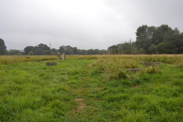
Stag's Pond, located in the county of Dorset, is a picturesque freshwater marsh encompassing an area of approximately 10 acres. Situated amidst the rolling hills and verdant countryside, it is a popular destination for nature enthusiasts and outdoor lovers alike.

The pond is known for its tranquil and serene atmosphere, offering visitors a peaceful respite from the hustle and bustle of everyday life. Surrounded by lush vegetation and teeming with diverse flora and fauna, Stag's Pond is a haven for wildlife and a paradise for birdwatchers. The marshland provides a rich habitat for a variety of bird species, including herons, ducks, swans, and kingfishers, making it a prime spot for birdwatching enthusiasts.

The pond itself is home to an abundance of fish species, making it a favorite spot for anglers. Carp, roach, bream, and perch are just a few examples of the fish that can be found in the crystal-clear waters of Stag's Pond. Anglers of all skill levels can enjoy a day of fishing, surrounded by the stunning natural beauty of the area.

Visitors to Stag's Pond can also explore the surrounding trails and footpaths that wind through the marshland, offering breathtaking views of the pond and its surrounding landscape. The area is a haven for hikers and nature lovers, providing opportunities to spot other wildlife such as deer, rabbits, and foxes.

Overall, Stag's Pond in Dorset is a captivating freshwater marsh that offers a diverse range of activities and experiences for visitors. Whether it's birdwatching, fishing, or simply enjoying the tranquility of nature, Stag's Pond is a must-visit destination for those seeking solace in the great outdoors.

If you have any feedback on the listing, please let us know in the comments section below.
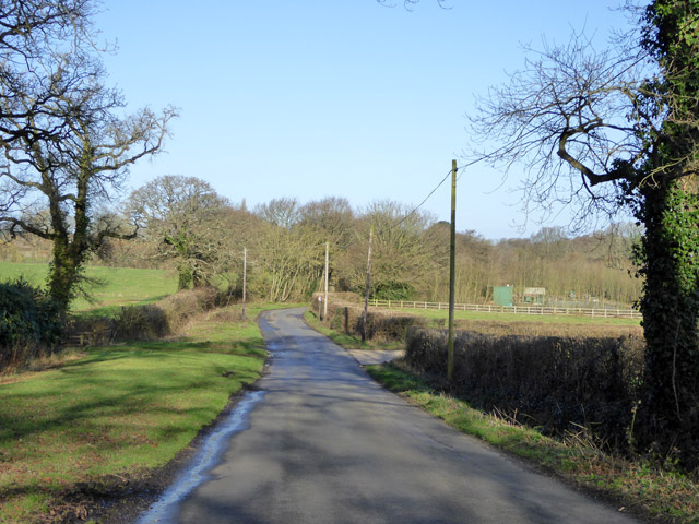
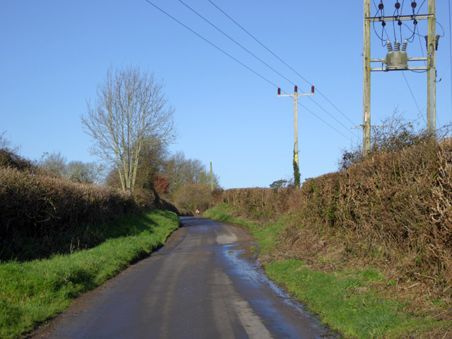
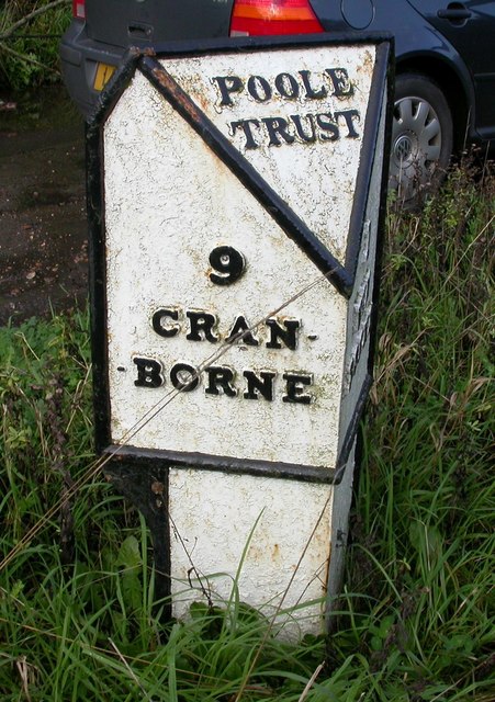
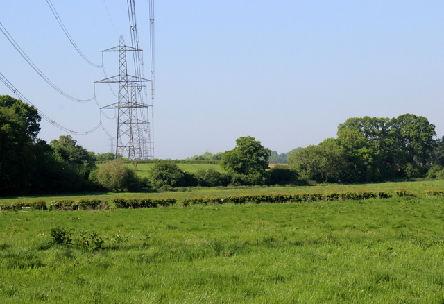
Stag's Pond Images

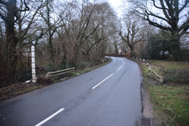
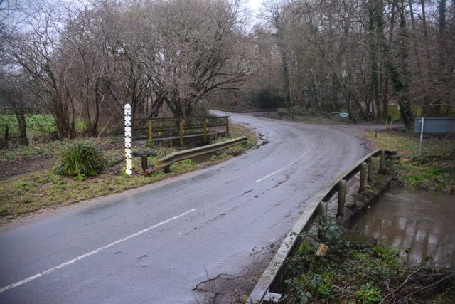
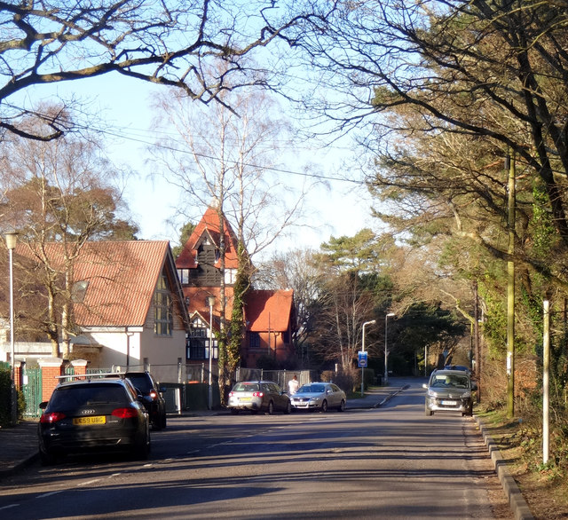
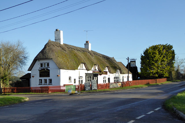
Images are sourced within 2km of 50.826228/-1.968202 or Grid Reference SU0202. Thanks to Geograph Open Source API. All images are credited.

Ford at Broom Hill This dry ford is the first of two fords at Broom Hill.
Ford at Broom Hill
This dry ford is the first of two fords at Broom Hill.
Ford at Broom Hill This is the second of the two Broom Hill fords.
Ford at Broom Hill
This is the second of the two Broom Hill fords.
Colehill Lane Colehill Lane, near the entrance to St Michael's Middle School.
Colehill Lane
Colehill Lane, near the entrance to St Michael's Middle School.
The Stocks Inn, Furzehill One of the boards advertises Quiz Night on 'Bank Holiday Sunday'. An odd one - is that Easter Day?
The Stocks Inn, Furzehill
One of the boards advertises Quiz Night on 'Bank Holiday Sunday'. An odd one - is that Easter Day?
River Allen at Fitche's Bridge Looking upstream.
River Allen at Fitche's Bridge
Looking upstream.
Lodge Road Heading towards Gaunt's Common.
Lodge Road
Heading towards Gaunt's Common.
Woodcutts Lane Heading towards Witchampton.
Woodcutts Lane
Heading towards Witchampton.
Old Milepost by the B3078, south west of Furzehill Cast iron post by the B3078, in parish of COLEHILL (EAST DORSET District), Wimborne, 150m South of turning to Furzehill, on grass verge by second lay-by, on West side of road. Poole cast iron post, erected by the Poole turnpike trust in the 19th century. 

Inscription reads:-
: 9 / CRAN- / -BORNE : : POOLE / TRUST : : 1 / WIM- / -BORNE :  

Milestone Society National ID: DO_CBWB09.
Old Milepost by the B3078, south west of Furzehill
Cast iron post by the B3078, in parish of COLEHILL (EAST DORSET District), Wimborne, 150m South of turning to Furzehill, on grass verge by second lay-by, on West side of road. Poole cast iron post, erected by the Poole turnpike trust in the 19th century. Inscription reads:- : 9 / CRAN- / -BORNE : : POOLE / TRUST : : 1 / WIM- / -BORNE : Milestone Society National ID: DO_CBWB09.
Powerlines near Higher Honeybrook Farm These pylons are on the powerline that crosses the minor road leading from Wimborne west towards High Hall and Lower Barnsley Farm
Powerlines near Higher Honeybrook Farm
These pylons are on the powerline that crosses the minor road leading from Wimborne west towards High Hall and Lower Barnsley Farm
Meadows Beside the River Allen The river is in the trees on the right. This picture is take from just east of Fitches bridge where the lane from Wimborne crosses the river.
Meadows Beside the River Allen
The river is in the trees on the right. This picture is take from just east of Fitches bridge where the lane from Wimborne crosses the river.
The Baker's Dozen A modern stone circle that has been constructed on Honeybrook Farm Park
The Baker's Dozen
A modern stone circle that has been constructed on Honeybrook Farm Park
Old Direction Sign - Signpost in Holt, East Dorset Annulus & bar finial - 3 arms; Dorset halo with NGR by the UC road, in parish of Holt (East Dorset District), Holt, North corner of village green opposite village hall. Holt Lane junction with Hart's Lane.

Surveyed

Milestone Society National ID: DO_SU0203.
Old Direction Sign - Signpost in Holt, East Dorset
Annulus & bar finial - 3 arms; Dorset halo with NGR by the UC road, in parish of Holt (East Dorset District), Holt, North corner of village green opposite village hall. Holt Lane junction with Hart's Lane. Surveyed Milestone Society National ID: DO_SU0203.
Old Direction Sign - Signpost by Broom Hill, Holt Parish Annulus finial - 4 arms; Dorset halo without NGR by the UC road, in parish of Holt (East Dorset District), Broom Hill, junction of Colehill, Hart's and Pilford Lanes, on narrow verge.

Surveyed

Milestone Society National ID: DO_SU0302.
Old Direction Sign - Signpost by Broom Hill, Holt Parish
Annulus finial - 4 arms; Dorset halo without NGR by the UC road, in parish of Holt (East Dorset District), Broom Hill, junction of Colehill, Hart's and Pilford Lanes, on narrow verge. Surveyed Milestone Society National ID: DO_SU0302.
Old Bridge Marker on Fitche's Bridge, west of Clapgate Bridge Weight Plate by the UC road, in parish of Pamphill (East Dorset District), Fitche's Bridge, mid-bridge.

Inscription reads:- : NOTICE / TO OWNERS AND DRIVERS / OF TRACTION ENGINES / THIS BRIDGE IS INSUFFICIENT / TO CARRY WEIGHTS BEYOND / THE ORDINARY TRAFFIC OF / THE DISTRICT :
 
Surveyed

Milestone Society National ID: DO_WEIFITbr.
Old Bridge Marker on Fitche's Bridge, west of Clapgate
Bridge Weight Plate by the UC road, in parish of Pamphill (East Dorset District), Fitche's Bridge, mid-bridge. Inscription reads:- : NOTICE / TO OWNERS AND DRIVERS / OF TRACTION ENGINES / THIS BRIDGE IS INSUFFICIENT / TO CARRY WEIGHTS BEYOND / THE ORDINARY TRAFFIC OF / THE DISTRICT : Surveyed Milestone Society National ID: DO_WEIFITbr.
Old Direction Sign - Signpost by Smugglers' Lane, Colehill, Dorset Annulus finial - 3 arms; Dorset halo with NGR by the UC road, in parish of Colehill (East Dorset District), Colehill, Smugglers' Lane, at junction with Long Lane, on verge.

Surveyed

Milestone Society National ID: DO_SU0201B
Old Direction Sign - Signpost by Smugglers' Lane, Colehill, Dorset
Annulus finial - 3 arms; Dorset halo with NGR by the UC road, in parish of Colehill (East Dorset District), Colehill, Smugglers' Lane, at junction with Long Lane, on verge. Surveyed Milestone Society National ID: DO_SU0201B
Old Direction Sign - Signpost by Deans Grove, Colehill Parish Annulus and bar finial - 2 arms; Dorset halo with NGR by the UC road, in parish of Colehill (East Dorset District), Long Lane junction with Deans Grove, road to Dumpton School, on verge.

Surveyed

Milestone Society National ID: DO_SU0101
Old Direction Sign - Signpost by Deans Grove, Colehill Parish
Annulus and bar finial - 2 arms; Dorset halo with NGR by the UC road, in parish of Colehill (East Dorset District), Long Lane junction with Deans Grove, road to Dumpton School, on verge. Surveyed Milestone Society National ID: DO_SU0101
Old Direction Sign - Signpost by Stocks Cross, Furzehill Annulus and bar finial - 4 arms; Dorset halo with NGR by the UC road, in parish of Holt (East Dorset District), Furzehill, Stocks Cross, at junction of UC roads to Clapgate and Colehill, on verge.

Surveyed

Milestone Society National ID: DO_SU0102
Old Direction Sign - Signpost by Stocks Cross, Furzehill
Annulus and bar finial - 4 arms; Dorset halo with NGR by the UC road, in parish of Holt (East Dorset District), Furzehill, Stocks Cross, at junction of UC roads to Clapgate and Colehill, on verge. Surveyed Milestone Society National ID: DO_SU0102
Old Direction Sign - Signpost by Colehill Lane, Colehill Annulus and bar finial - 4 arms; Dorset halo with NGR by the UC road, in parish of Colehill (East Dorset District), on verge opposite Colehill Church, at crossroads junction of Colehill Lane with Smugglers' Lane - UC roads to Clapgate and Canford Bottom.

Surveyed

Milestone Society National ID: DO_SU0201A
Old Direction Sign - Signpost by Colehill Lane, Colehill
Annulus and bar finial - 4 arms; Dorset halo with NGR by the UC road, in parish of Colehill (East Dorset District), on verge opposite Colehill Church, at crossroads junction of Colehill Lane with Smugglers' Lane - UC roads to Clapgate and Canford Bottom. Surveyed Milestone Society National ID: DO_SU0201A
Show me another place!

Stag's Pond is located at Grid Ref: SU0202 (Lat: 50.826228, Lng: -1.968202)

Unitary Authority: Dorset

Police Authority: Dorset

What 3 Words

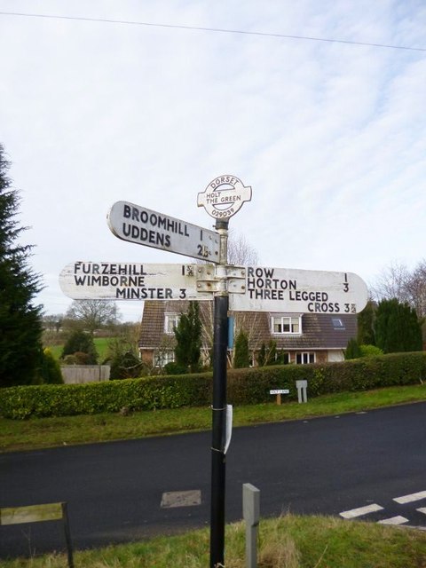
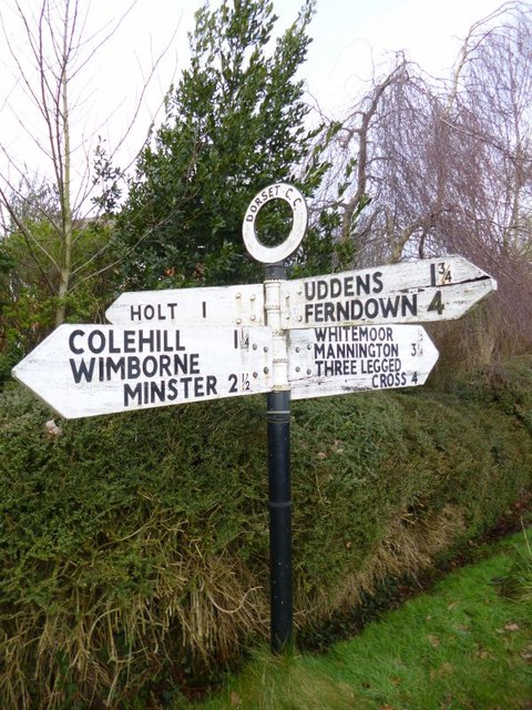
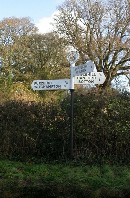
///brownish.stalemate.helps. Near Wimborne Minster, Dorset

Related Wikis

Holt, Dorset

Holt is a village in east Dorset, England, 2 miles (3.2 km) north of Wimborne Minster. The village had a population of 1,265 in 2001. The electoral ward...

East Dorset

East Dorset was a local government district in Dorset, England. Its council met in Wimborne Minster between 2016 and 2019.The district (as Wimborne) was...

Furzehill Wood

Furzehill Wood is a woodland near Colehill in Dorset, England. It covers a total area of 0.84 hectares (2.08 acres). It is owned and managed by the Woodland...
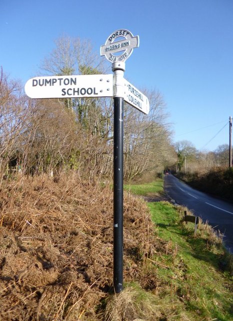
Dumpton School

Dumpton School is an independent day school in Wimborne, Dorset, South West England, for girls and boys aged 2 to 13 years. == History == The school was...

Wimborne Minster

Wimborne Minster (often referred to as Wimborne, ) is a market town in Dorset in South West England, and the name of the Church of England church in that...

Hinton Parva

Hinton Parva is a hamlet and former civil parish, now in the civil parish of Hinton, in east Dorset, England, three miles north of Wimborne Minster. The...

Colehill

Colehill is a parish neighbouring Wimborne Minster, in Dorset, England. It had a population of 7,000 in 2001, which shrunk slightly to 6,927 people at...

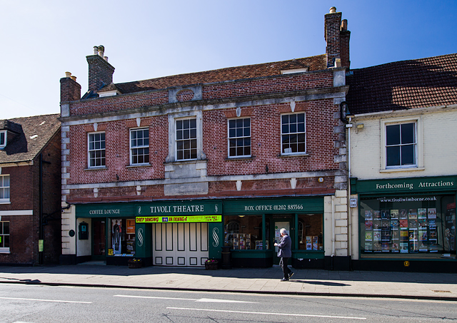
Tivoli Theatre (Wimborne Minster)

The Tivoli Theatre in Wimborne Minster, Dorset, England, was built in 1936 as a theatre and cinema. It has a variety of Art Deco features, including original...

Nearby Amenities

Located within 500m of 50.826228,-1.968202
WYTCHFARMF5
Disused: yes
Man Made: petroleum_well
Ref GB Decc: L98/06-F5
Source: DECC
Lat/Long: 50.8278056/-1.9669444
The data included in this document is from www.openstreetmap.org. The data is made available under ODbL.

Have you been to Stag's Pond?

Leave your review of Stag's Pond below (or comments, questions and feedback).