Clearwater

Lake, Pool, Pond, Freshwater Marsh in Wiltshire Cotswold

England

Clearwater

Spine Road (West), heading west
Spine Road (West), heading west Credit: Robin Webster

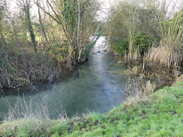
Clearwater is a picturesque village located in the county of Wiltshire, England, known for its abundant freshwater resources. The village is surrounded by a stunning landscape that includes a lake, pool, pond, and freshwater marsh, making it an ideal destination for nature lovers and outdoor enthusiasts.

The centerpiece of Clearwater is its pristine lake, which spans a considerable area and attracts visitors from near and far. The lake offers a tranquil and serene environment, with crystal-clear waters reflecting the surrounding greenery. It provides opportunities for various activities such as boating, fishing, and birdwatching.

Adjacent to the lake, a smaller pool can be found, which is equally enchanting. This pool is nestled amidst lush vegetation and is often frequented by wildlife, adding to the charm of the area. It offers a peaceful setting for those seeking solitude or a place to relax and unwind.

In addition to the lake and pool, Clearwater boasts a charming pond. This small body of water is teeming with aquatic life and serves as a haven for various species of fish, frogs, and water plants. It is a popular spot for families to visit, as children can observe and learn about the diverse ecosystem that thrives within.

Finally, the village of Clearwater is home to a sprawling freshwater marsh. This marshland is a vital habitat for wetland species, providing a haven for numerous bird species, amphibians, and plants. It serves as a natural filter, purifying the water and maintaining the ecological balance of the area.

Overall, Clearwater, Wiltshire, with its lake, pool, pond, and freshwater marsh, is a haven for nature enthusiasts, offering a range of diverse ecosystems to explore and appreciate.

If you have any feedback on the listing, please let us know in the comments section below.
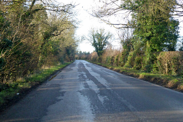
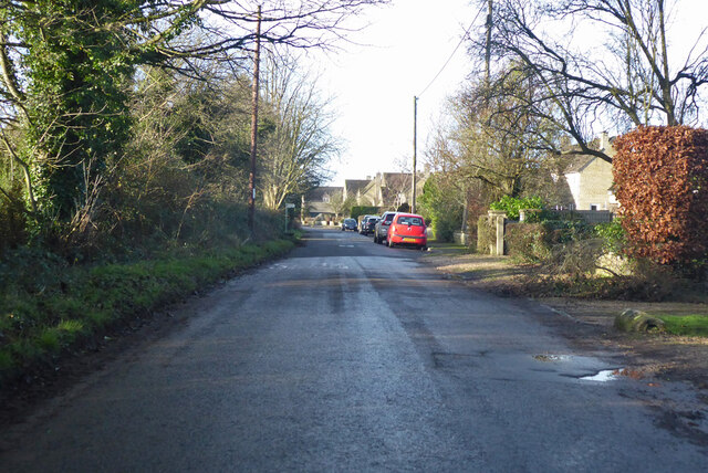
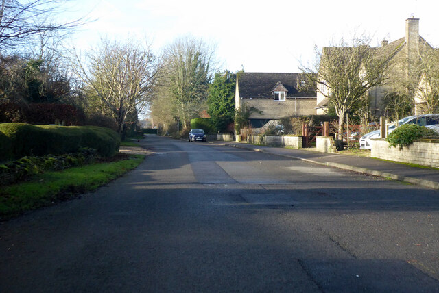
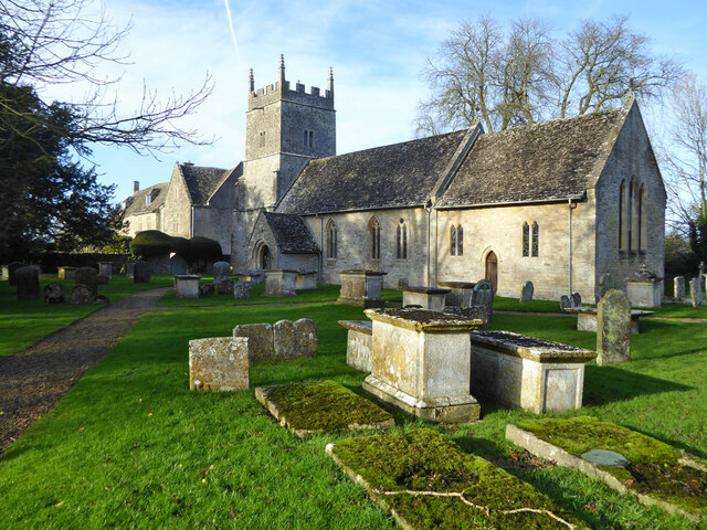
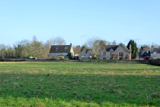
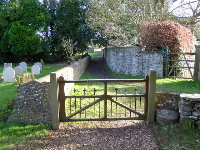
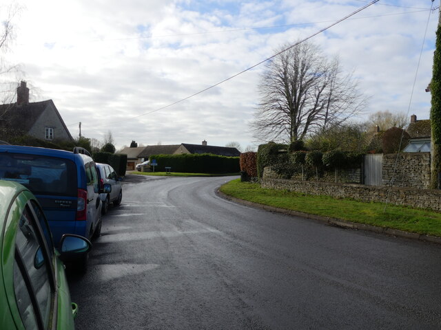
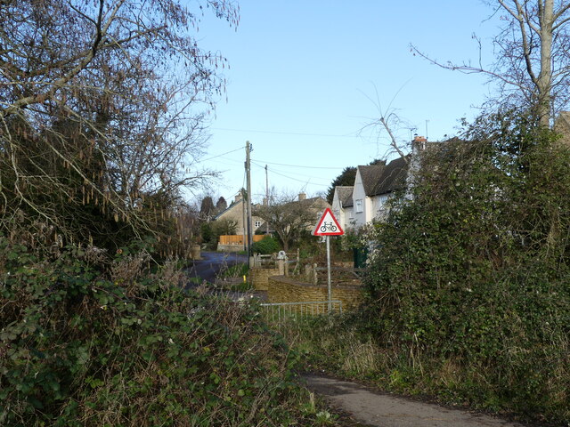
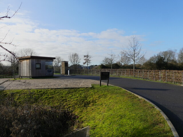
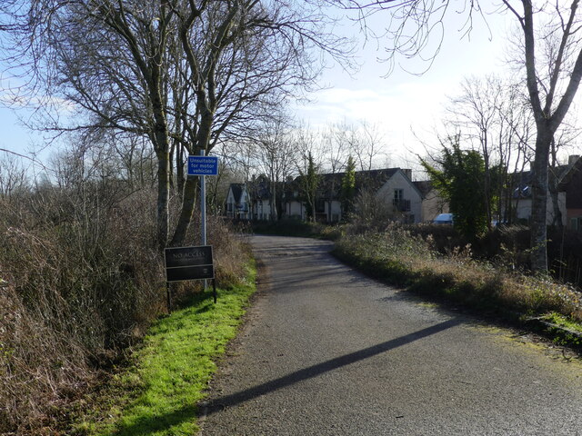
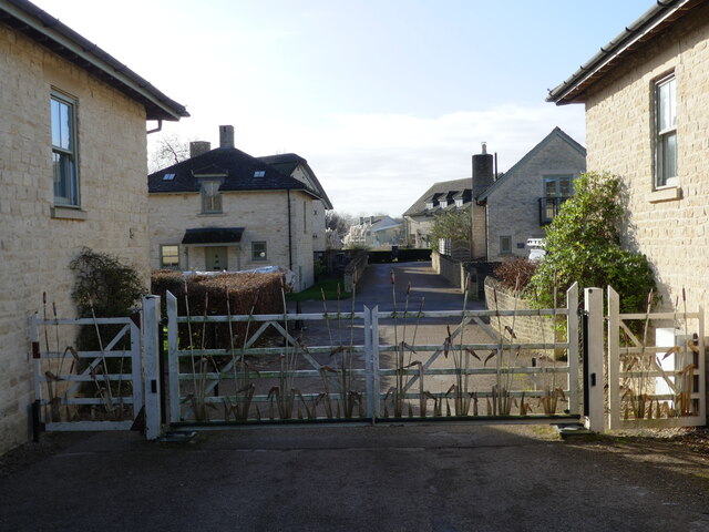
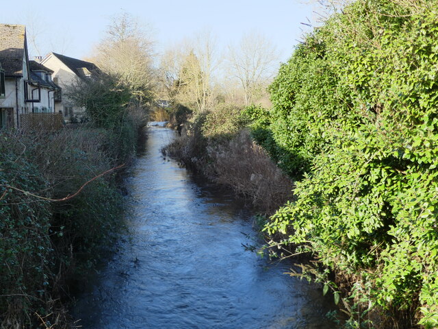
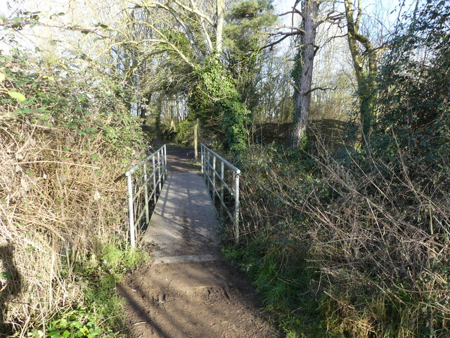
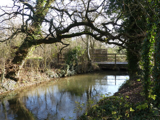
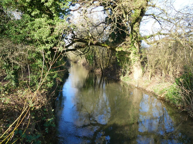
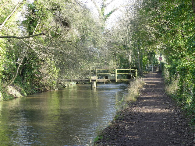
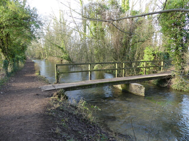
Clearwater Images

Images are sourced within 2km of 51.645991/-1.9702381 or Grid Reference SU0294. Thanks to Geograph Open Source API. All images are credited.

Spine Road (West), heading west
Water Lane, Somerford Keynes
Somerford Keynes church All Saints' is a grade II*(star) listed building. Beyond the tower is the Manor House, grade II listed.
Somerford Keynes church
All Saints' is a grade II*(star) listed building. Beyond the tower is the Manor House, grade II listed.
Houses on main road, Somerford Keynes A rear view from near the church. The large one on the right was formerly the village school.
Houses on main road, Somerford Keynes
A rear view from near the church. The large one on the right was formerly the village school.
Churchyard gate and stile, Somerford Keynes The gate looks quite new, but there was probably some sort of gate here in the past, as it would not be seemly for the vicar to use a stile as he came from the vicarage through the small gate. Why then the stile for a public footpath that enters the churchyard here? Perhaps the gate was locked.
Churchyard gate and stile, Somerford Keynes
The gate looks quite new, but there was probably some sort of gate here in the past, as it would not be seemly for the vicar to use a stile as he came from the vicarage through the small gate. Why then the stile for a public footpath that enters the churchyard here? Perhaps the gate was locked.
Bend in the road, Somerford Keynes The junction to the left beyond the parked cars is with Mill Lane, which gives access to the Thames Path.
Bend in the road, Somerford Keynes
The junction to the left beyond the parked cars is with Mill Lane, which gives access to the Thames Path.
Access path from the road to Mill Lane, Somerford Keynes Opposite this path, across the road, is a road that forms part of the Thames Path.
Access path from the road to Mill Lane, Somerford Keynes
Opposite this path, across the road, is a road that forms part of the Thames Path.
New access road to the Lower Mill Estate, Somerford Keynes The estate lies between the youthful River Thames and the gravel pit lakes prevalent in this area.
New access road to the Lower Mill Estate, Somerford Keynes
The estate lies between the youthful River Thames and the gravel pit lakes prevalent in this area.
Bend in the youthful River Thames beside the Thames Path, Somerford Keynes I hesitate to describe this as a "meander" - which would be the usual term for a bend in the river, as the course has been so heavily "managed" in this area.
Bend in the youthful River Thames beside the Thames Path, Somerford Keynes
I hesitate to describe this as a "meander" - which would be the usual term for a bend in the river, as the course has been so heavily "managed" in this area.
The Thames Path - approaching where the tarmac ends, Somerford Keynes
Gated road to Lower Mill Estate, Somerford Keynes The photo was taken from a bridge over the youthful River Thames <a href="https://www.geograph.org.uk/photo/7078594">SU0294 : The youthful River Thames seen from a bridge to the Lower Mill Estate, Somerford Keynes</a>.
Gated road to Lower Mill Estate, Somerford Keynes
The photo was taken from a bridge over the youthful River Thames SU0294 : The youthful River Thames seen from a bridge to the Lower Mill Estate, Somerford Keynes.
The youthful River Thames seen from a bridge to the Lower Mill Estate, Somerford Keynes
Footbridge over the River Thames, on the Thames Path near Somerford Keynes
Bridge over the River Thames, seen from the Thames Path, near Somerford Keynes
The River Thames seen from a bridge, near Somerford Keynes This bridge intersects with the Thames Path.
The River Thames seen from a bridge, near Somerford Keynes
This bridge intersects with the Thames Path.
Footbridge and track bridge across the River Thames, near Ashton Keynes The footpath is the Thames Path.
Footbridge and track bridge across the River Thames, near Ashton Keynes
The footpath is the Thames Path.
Footbridge seen from beside track bridge over the River Thames, near Ashton Keynes
Show me another place!

Clearwater is located at Grid Ref: SU0294 (Lat: 51.645991, Lng: -1.9702381)

Administrative County: Gloucestershire

District: Cotswold

Police Authority: Gloucestershire

What 3 Words

///alpha.wakes.pass. Near Ashton Keynes, Wiltshire

Nearby Locations

Clearwater

Related Wikis

Cotswold Water Park

The Cotswold Water Park is the United Kingdom's largest marl lake system, straddling the Wiltshire–Gloucestershire border, north-west of Cricklade and...

Somerford Keynes

Somerford Keynes (, grid reference SU019952) is a village and civil parish in the Cotswold district of Gloucestershire, England, close to the River Thames...

Clattinger Farm

Clattinger Farm (grid reference SU012933) is a 60.3 hectare biological Site of Special Scientific Interest in Wiltshire, notified in 1971. The site is...

Acres Farm Meadow

Acres Farm Meadow (grid reference SU024927) is a 4.2 hectare biological Site of Special Scientific Interest (SSSI) in Wiltshire, notified in 1989. It lies...

Nearby Amenities

Located within 500m of 51.645991,-1.9702381
Cotswold Water Park
Description: The Cotswold Water Park is an area of lakes formed in old gravel quarries. The young River Thames flows through the park.
Source: NPE+Wikipedia
Tourism: attraction
Lat/Long: 51.6455994/-1.9744693
Crossing
Crossing Ref: zebra
Lat/Long: 51.6470153/-1.9711932
Leisure: picnic_table
Lat/Long: 51.6489288/-1.9681788
Defibrillator
Defibrillator Location: On exterior wall of small cotswold stone hut, opposite Lower Mill Estate Office
Emergency: defibrillator
Ref GB The Circuit: EDC2D782-CC7B-4893-9F65-AE1B00C056BD
Lat/Long: 51.6481798/-1.9691918
Information: map
Tourism: information
Lat/Long: 51.6481484/-1.9691079
Post Box
Collection Times: Mo-Fr 09:00; Sa 07:00
Post Box Mounting: pier
Post Box Type: lamp
Ref: GL7 41D
Royal Cypher: EIIR
Royal Cypher Wikidata: Q33102113
Lat/Long: 51.6481613/-1.9691379
Defibrillator
Access: yes
Defibrillator Location: On exterior wall of Lower Mill Estate swimming pool /spar building, near the main entrance next to the buggy shelter.
Emergency: defibrillator
Ref GB The Circuit: BB3CE099-5C18-44CA-8AFC-AE1B00C33D32
Lat/Long: 51.6471687/-1.9712916
The data included in this document is from www.openstreetmap.org. The data is made available under ODbL.

Have you been to Clearwater?

Leave your review of Clearwater below (or comments, questions and feedback).