Doxey Pool
Lake, Pool, Pond, Freshwater Marsh in Staffordshire Staffordshire Moorlands
England
Doxey Pool
Doxey Pool, located in Staffordshire, England, is a picturesque freshwater marsh that serves as a popular recreational spot for locals and tourists alike. Spanning an area of approximately 10 acres, the pool is surrounded by lush greenery and offers a tranquil sanctuary for both wildlife and visitors.
The pool itself is a shallow body of water, with an average depth of around 2 meters. It is fed by natural springs and rainfall, ensuring a constant supply of fresh water. The water quality is excellent, making it suitable for a variety of activities such as fishing, boating, and swimming.
Surrounding the pool are various species of plants, including reeds, rushes, and water lilies, which provide a haven for numerous aquatic creatures and bird species. The diverse ecosystem supports a wide range of wildlife, including ducks, geese, herons, and even the occasional otter.
For nature enthusiasts, Doxey Pool offers an opportunity to observe and appreciate the local flora and fauna. Birdwatchers, in particular, will find this spot rewarding, as it attracts various species throughout the year, including migratory birds during the winter months.
Access to Doxey Pool is convenient, with nearby parking facilities and well-maintained footpaths for visitors to explore the area. The tranquil atmosphere and idyllic surroundings make it an ideal location for picnics and nature walks.
Doxey Pool, with its serene beauty and abundant wildlife, provides a delightful escape from the hustle and bustle of everyday life, making it a cherished natural gem in Staffordshire.
If you have any feedback on the listing, please let us know in the comments section below.
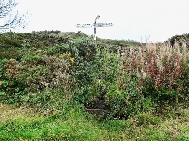
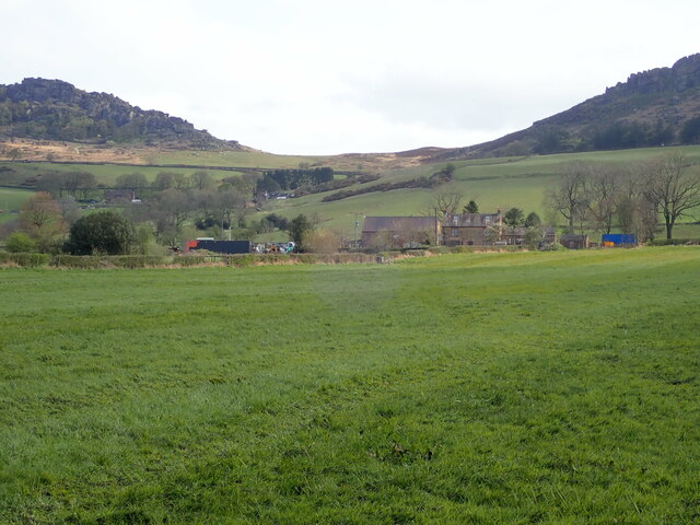
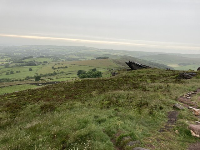
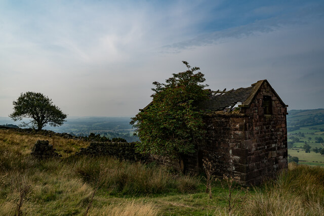
Doxey Pool Images
Images are sourced within 2km of 53.162674/-1.9957269 or Grid Reference SK0062. Thanks to Geograph Open Source API. All images are credited.


Doxey Pool is located at Grid Ref: SK0062 (Lat: 53.162674, Lng: -1.9957269)
Administrative County: Staffordshire
District: Staffordshire Moorlands
Police Authority: Staffordshire
What 3 Words
///cabinet.mock.landowner. Near Leek, Staffordshire
Nearby Locations
Related Wikis

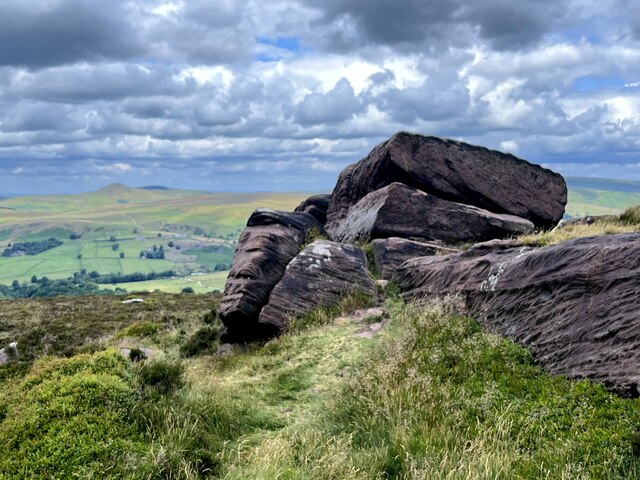
The Roaches
The Roaches (from the French les roches - the rocks) is a prominent rocky ridge above Leek and Tittesworth Reservoir in the Staffordshire Peak District...

Leekfrith
Leekfrith is a civil parish in the Staffordshire Moorlands, in Staffordshire, England, north of the town of Leek. The population of the civil parish at...

Black Brook Nature Reserve
Black Brook is a nature reserve of the Staffordshire Wildlife Trust, about 7 miles (11 km) north-east of Leek, in Staffordshire, England. It is moorland...
Meerbrook
Meerbrook (grid reference SJ989609) is a small village in North Staffordshire, on the River Churnet at the edge of the Peak District National Park. It...

Heathylee
Heathylee is a civil parish in the district of Staffordshire Moorlands in north-east Staffordshire, England. There is no village centre. The parish has...

Lud's Church
Lud's Church (sometimes written as Ludchurch) is a deep chasm penetrating the Millstone Grit bedrock created by a massive landslip on the hillside above...
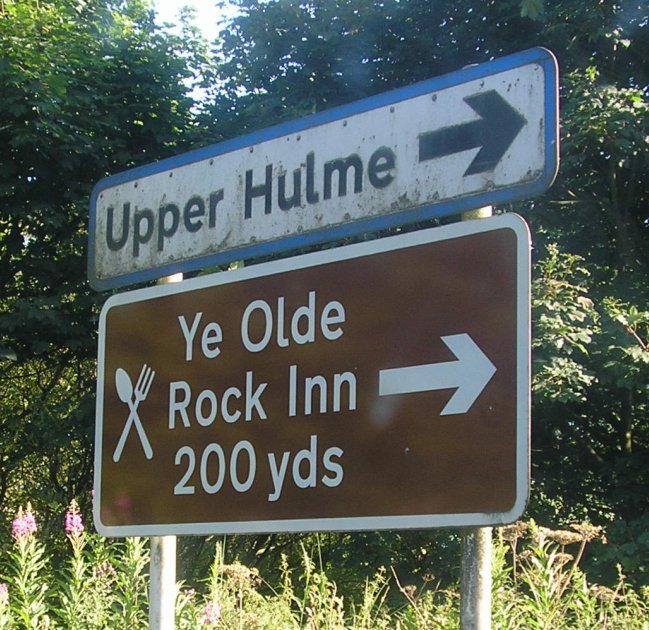
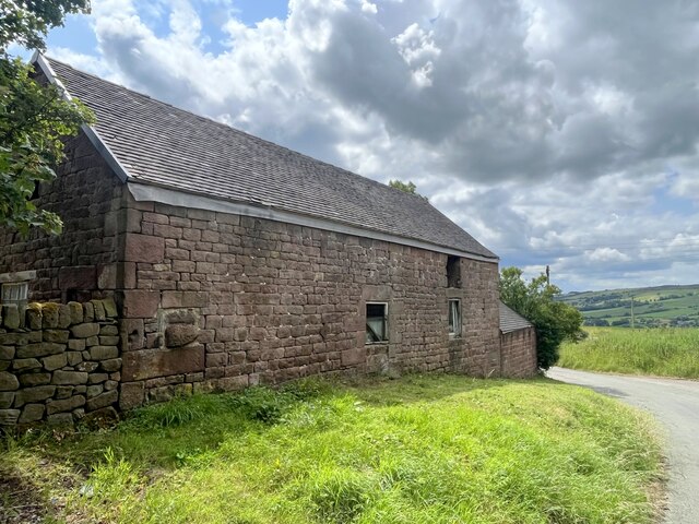
Upper Hulme
Upper Hulme is a hamlet in North Staffordshire, between the historic market town of Leek and the spa town of Buxton. It is clustered around a redundant...
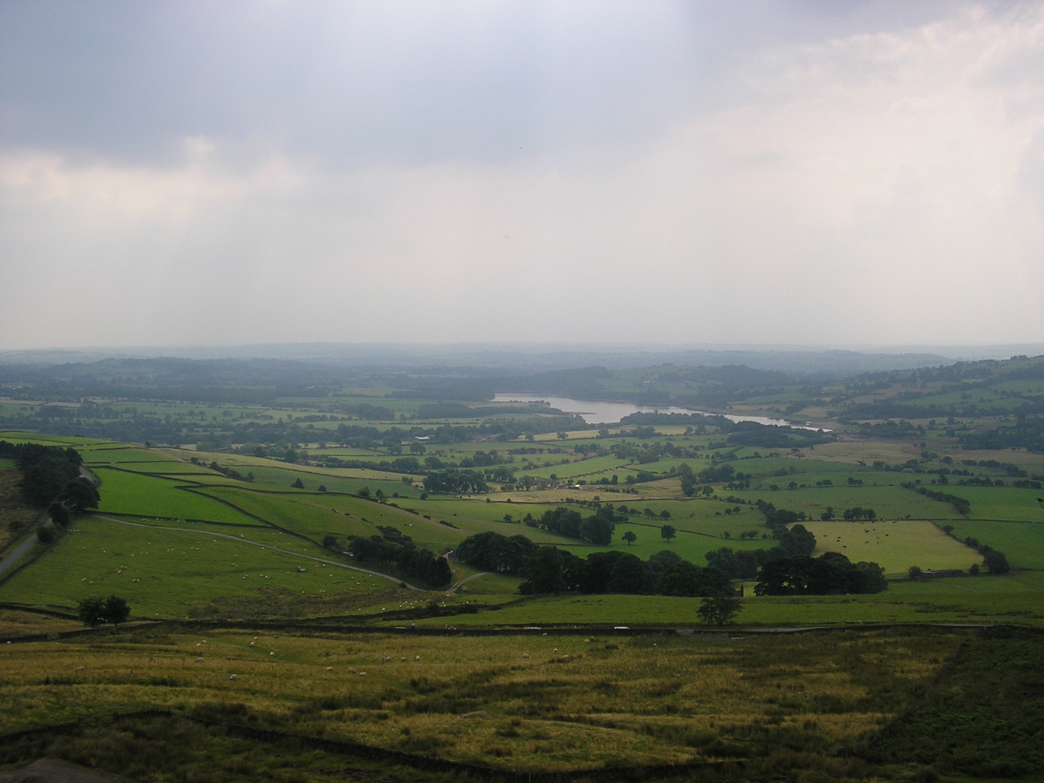
Tittesworth reservoir
Tittesworth Reservoir is a water storage reservoir near Leek, Staffordshire, England, fed by the River Churnet. The reservoir and associated water treatment...
Nearby Amenities
Located within 500m of 53.162674,-1.9957269Have you been to Doxey Pool?
Leave your review of Doxey Pool below (or comments, questions and feedback).